Ruine Eberstein: A Medieval Summit Castle in Germany


Site at a Glance
- Rating
- 4.5
- Popularity
- Very Low
- Country
- Germany
- Primary era
- Medieval
- External website
- Open
- Eras represented
- Medieval
- Civilizations
- Holy Roman Empire
- Site type
- Military
- Remains
- Castle
On this page9 sections
History
Origins and the Lords of Eberstein
Ruine Eberstein is a twelfth-century summit castle in Germany, located at Rupsroth in Hesse. Also known as Tannenfels or Tannfölsch Castle, it probably served as the ancestral seat of the Lords of Eberstein, a noble family first mentioned in 1162 or 1170. The castle itself appears in written records in 1170, although the archaeological database EBIDAT gives 1212 as its first documentary date.
The Ebersteins generally served the Hochstift of Fulda and the Bishopric of Würzburg, ecclesiastical territories whose rulers exercised both religious and territorial authority. Their repeated feuds, including disputes with their own territorial lords, eventually brought the castle into conflict with both powers.
Destruction and later medieval history
At a court assembly in 1282, Würzburg Bishop Berthold II of Sternberg and Fulda Prince-Abbot Bertho IV ordered the castle’s destruction. The decision was approved by King Rudolf I, who ruled Germany from 1273 to 1291. Fulda and Würzburg then chose to construct a joint castle in the valley below, at Brand.
The new arrangement did not preserve Eberstein as an active stronghold. The castle was already described as decaying by 1326. The Ebersteins later became associated with the Amt of Schackau, a historical territorial administrative district, and enlarged the castle there.
The name Tannenfels and modern preservation
The name Tannenfels developed in 1454 from Tannenfölsch. At that time, the deserted settlement was held as a fief from Fulda by the Lords von der Tann. The element “fölsch” referred to its association with Fulda. By 1557, only a shield wall, a heavily reinforced section of fortification placed at an exposed point, could still be seen.
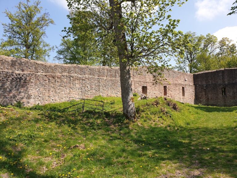
The ruin was demolished in 1830. After the Second World War, the Eberstein family association began preserving the remaining castle site. Excavation and repair work in 1977 uncovered the stump of the keep and additional wall remains. Parts of the ring wall were rebuilt so that the surviving remains could be understood more clearly.
Remains
Site layout and defenses
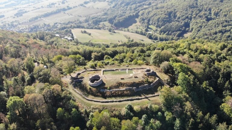
Ruine Eberstein occupies the 669.4-metre summit of Tannenfels, a rounded volcanic formation made of phonolite, northeast of Brand and west of Wickers. The site lies within the Liebhards cadastral district of Hilders, at the southern edge of woodland and west of the Wickerser Hüte nature reserve. The surrounding landscape includes views toward the Milseburg and Wasserkuppe.
The stone-built fortress probably consisted of a rectangular main castle in the southwest and a rectangular outer bailey in the northeast. A shared rampart and ditch protected both areas, while a neck ditch divided them. The main castle’s enclosure measured about 37 by 24 metres, although another survey gives approximately 33 by 19 metres. The outer bailey covered about 34 by 26 metres.
Main castle and entrance
An additional rampart strengthened the main castle on its western side. The steep northern ground probably made a defensive ditch unnecessary there. A clearly recognizable entrance led into the main castle, probably crossing the neck ditch through a defended passage resembling a zwinger, an intermediate enclosure or passage that made access to the principal fortification more difficult.
Keep and residential buildings
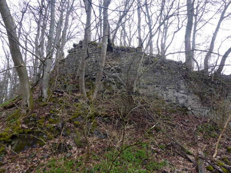
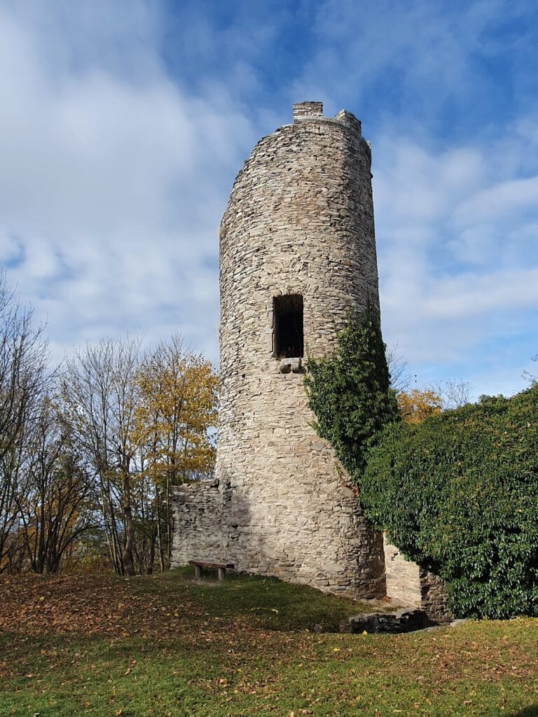
The stump of the keep stands at the northwest corner of the main castle. It contains bossed ashlar, stone blocks with projecting central faces, dated approximately to 1230–1250. The palas, the principal residential and representative building of a medieval castle, probably stood in the northeast corner. Chimney stones embedded at this former location remain visible, and buildings may also have been attached to the ring wall along the southern side.
Walls, ramparts, and surrounding terraces
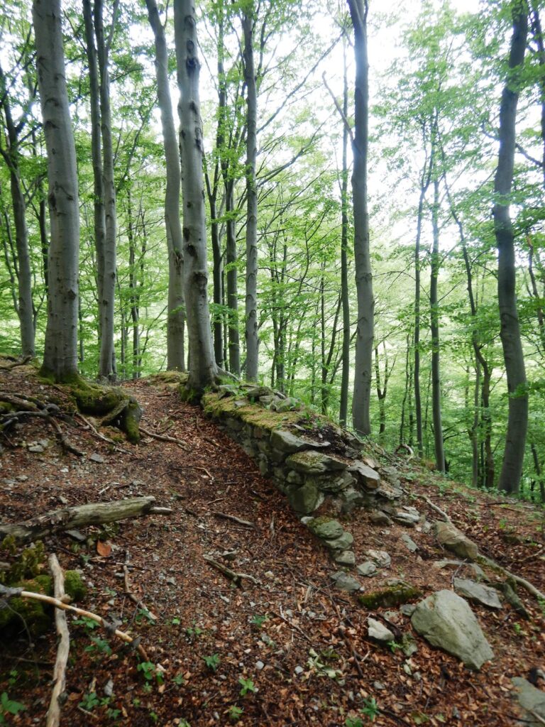
Surviving masonry includes sections of the enclosure wall, smaller stretches of walling, and a double-shell section at the northeast corner of the ring wall. The surrounding rampart, main ditch, and neck ditch remain recognizable. The outer bailey has probably not been archaeologically investigated.
Numerous terraces encircle the mountain. Their origin remains uncertain. They may be geological formations, or they may relate to agricultural activity around the castle during the High Middle Ages. Because the fortress was destroyed in the thirteenth century, no historical drawings of its original appearance survive.
Nearby sites