Burg Neu-Wolfskehlen: A Medieval Lowland Castle in Germany


Site at a Glance
- Rating
- 5
- Popularity
- Very Low
- Country
- Germany
- Primary era
- Medieval
- Eras represented
- Medieval
- Civilizations
- Holy Roman Empire
- Site type
- Military
- Remains
- Castle
On this page7 sections
History
Burg Neu-Wolfskehlen is a vanished lowland castle in Riedstadt, Germany, probably established as a medieval knightly residence at the beginning of the thirteenth century. A lowland castle was a fortified residence built on relatively flat or wet ground rather than on a hilltop. Three younger sons of Gerardus de Wolfskehlen, traditionally associated with the construction of Alt-Wolfskehlen Castle, probably founded the new residence jointly.
Foundation and Mainz Rule
The castle first appears in written records in 1252, when it was sold to Archbishop Gerhard of Mainz. The Lords of Wolfskehlen apparently continued to hold the property as a fief, meaning land or rights granted by a superior in return for service or allegiance. In 1298, a member of the Kronberg family is recorded as a Mainz burgrave there. This office involved administering or commanding a castle belonging to the Archbishopric of Mainz.
Destruction and Later Discovery
Burg Neu-Wolfskehlen probably met its end in 1301 during a feud between the Archbishopric of Mainz and King Albert, a German king of the late thirteenth and early fourteenth centuries. After the Middle Ages, local builders took its stone remains for construction, and by the modern period the castle had been reduced to its foundations.
Its precise location remained uncertain until investigations began in 2014. Earlier proposals placed it northwest of Wolfskehlen, near the historic north-south road west of the settlement and the road to Oppenheim, or about 400 metres southeast of the church near the former Goddelau-Griesheim branch railway station. The Terraplana archaeological association investigated the site through a lowland-castles research project. Ground-penetrating radar, a non-invasive method for detecting buried features, was used in July 2014, followed by geomagnetic surveys in September 2017. Together, these investigations located the castle at the southeastern edge of Wolfskehlen.
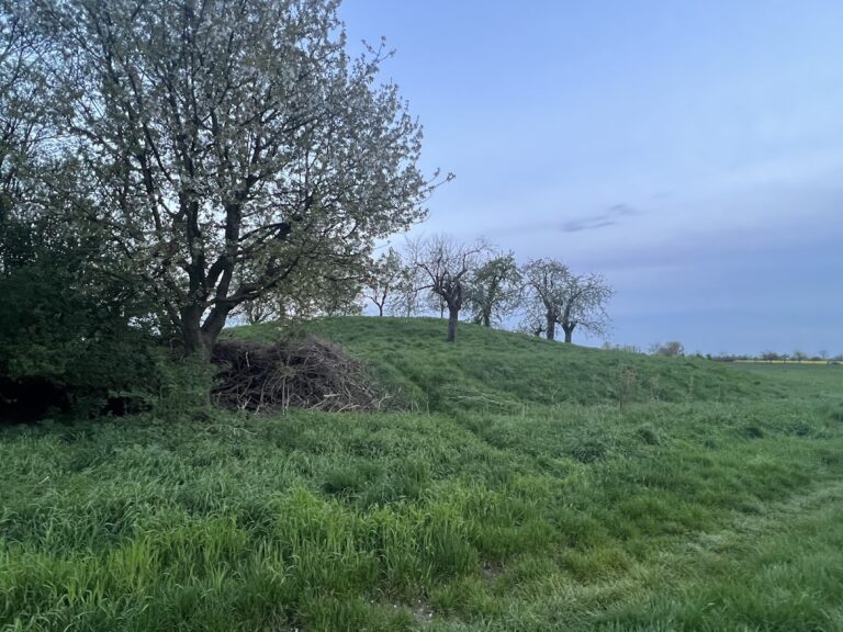
Earlier aerial photographs had shown a nearly square crop-mark in a field known as Bei der Hofstatt. The field is a wet meadow that probably occupies part of a former marsh in the silted bed of the old Neckar. Medieval pottery recovered during fieldwork demonstrated that the feature belonged to the medieval castle rather than to the Roman fort initially proposed for the site. Burg Neu-Wolfskehlen is now classified as a Burgstall, an archaeological castle site whose original fortification survives through buried evidence rather than as a standing building.
Remains
Burg Neu-Wolfskehlen formed a square castle complex with a simple residential building and a tower. Geophysical investigations indicate a fortified core, an outer bailey, and ditches or walls that probably formed a rectangular enclosure. The outer bailey was an enclosed area outside the main fortified core, used for service, residential, or economic purposes. Wooden piles recovered from the site and identified through prospection show that the castle stood on a pile foundation, a construction method using driven timber supports on unstable or waterlogged ground.
Core Castle
The core castle occupied the southeastern part of the surveyed area and measured approximately 50 by 50 metres. It stood on a pronounced rise in the terrain, was more densely built than the surrounding ground, and was enclosed by a stone wall. The outer-bailey area probably extended toward the modern built-up part of Wolfskehlen, creating a larger fortified settlement around the principal enclosure.
Keep and Defensive Enclosures
In the northwestern part of the core castle, a square feature measuring about 9.30 metres on each side is interpreted as the ground plan of a keep, the principal fortified tower of a medieval castle. Its interior space was approximately 4 metres wide. The apparent material width of 2.60 metres represents a broad deposit of mortar and stone from the robbed-out tower rather than intact wall masonry, so the original wall thickness cannot be established precisely.
Geomagnetic measurements also indicate a second wall along the southwestern and northwestern sides of the castle. This probably formed an outer defensive enclosure, or zwinger, an enclosed space between defensive walls that could make an assault on the inner fortification more difficult. The enclosure may have contained a larger cellar. The two walls could belong to separate construction phases, although their use in different periods is considered unlikely because the castle existed for only a short time.
Buried Archaeological Features
Aerial crop marks and lower, ditch-like features identified during fieldwalking point to buried masonry and trenches left by the removal of stone. The castle’s physical remains therefore consist of subsurface walls, foundation traces, mortar and stone deposits, ditches, wooden foundation piles, and associated archaeological finds. Medieval pottery from the field helped establish the character of the site and distinguish it from the earlier Roman interpretation.