Kocherburg: A Medieval Castle and Renaissance Palace Site in Germany

Site at a Glance
- Rating
- 4.6
- Popularity
- Very Low
- Country
- Germany
- Primary era
- Medieval
- External website
- Open
- Eras represented
- Medieval
- Civilizations
- Holy Roman Empire
- Site type
- Military
- Remains
- Castle
On this page12 sections
History
Kocherburg, also called Kochenburg, is a ruined hilltop spur castle site in Germany near Aalen, with origins possibly in the 11th century and a major renewal around 1200 in bossed-ashlar construction. It later became an administrative center of Ellwangen Abbey for the upper Kocher region before being replaced by a Renaissance palace in the early 17th century.
Medieval Origins and Ellwangian Administration
The castle may have been incorporated into an older prehistoric fortification on the hill spur. The lords of Kochen, first mentioned in 1136, probably occupied Kocherburg. They may have served as ministerials, medieval German service officials with administrative, military, or knightly duties, for either the counts of Dillingen or Ellwangen Abbey.
By the 13th century at the latest, Kocherburg served Ellwangen Abbey as the center of administration for the upper Kocher area. Around 1280, during a conflict between the abbey and the County of Oettingen, the castle passed to Oettingen. The counts installed the Ahelfinger family as officials there. The family had previously been associated with Ellwangen and then entered Oettingen’s service. In 1300, the abbot of Ellwangen demanded the castle’s return.
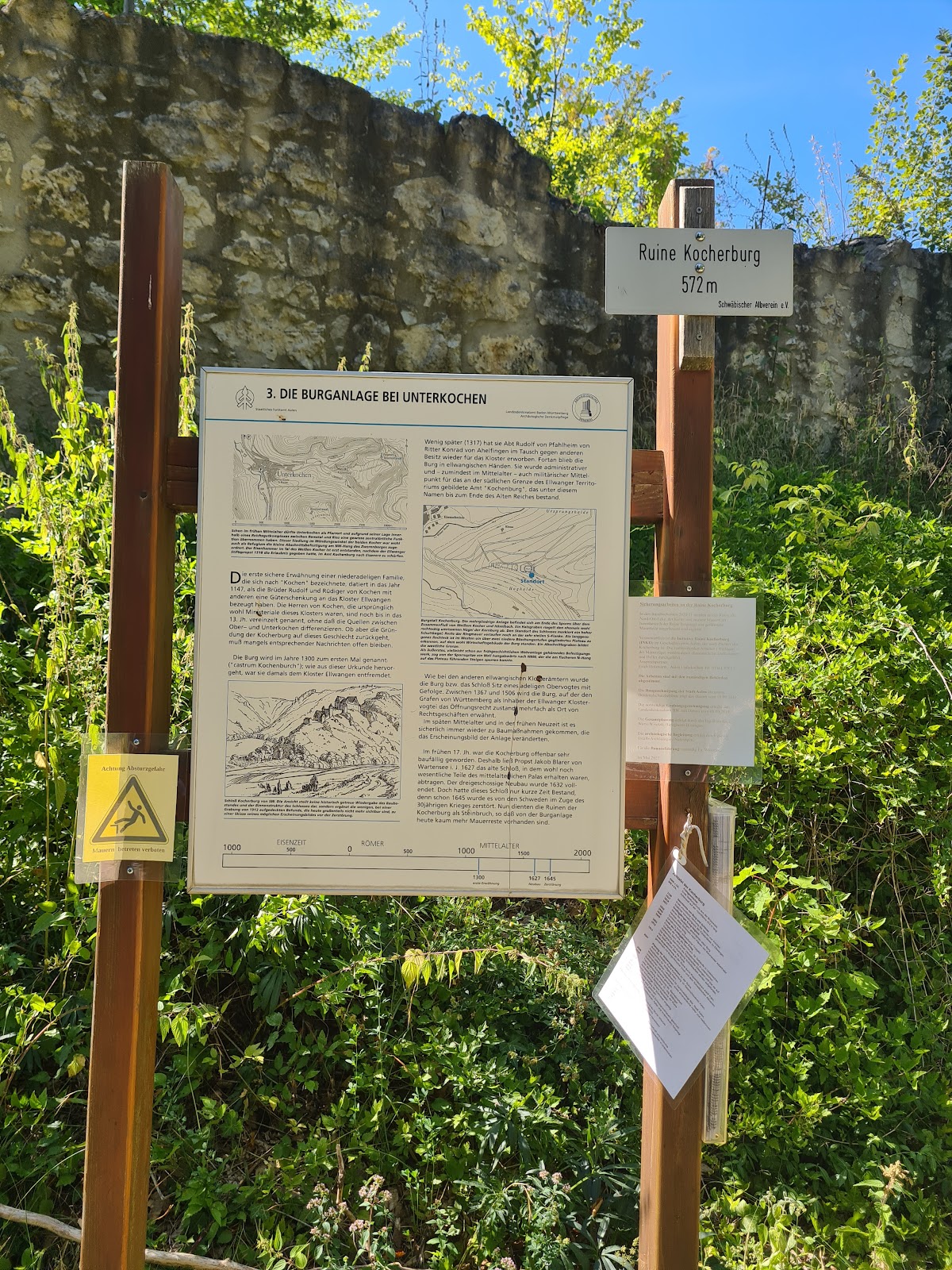
A charter from 1317 called the site Castrum Kochenburch. In the same transaction, Konrad of Ahelfingen exchanged his property in Unterkochen with Ellwangen Abbey for Hoheneybach Castle. Kocherburg then became the seat of the bailiff of the Ellwangian office of Kochenburg, giving the castle a continuing administrative role.
Late Medieval Residence
Ellwangen Abbot Albrecht Hack of Wöllstein lived at Kocherburg in 1397. In 1461, the castle became the retirement residence of Prince-Provost Johann of Hürnheim. A prince-provost was the head of a church institution whose provost held princely rank. These associations reflect the castle’s use not only as an administrative center but also as a residence for senior Ellwangian officials.
Renaissance Palace and Destruction
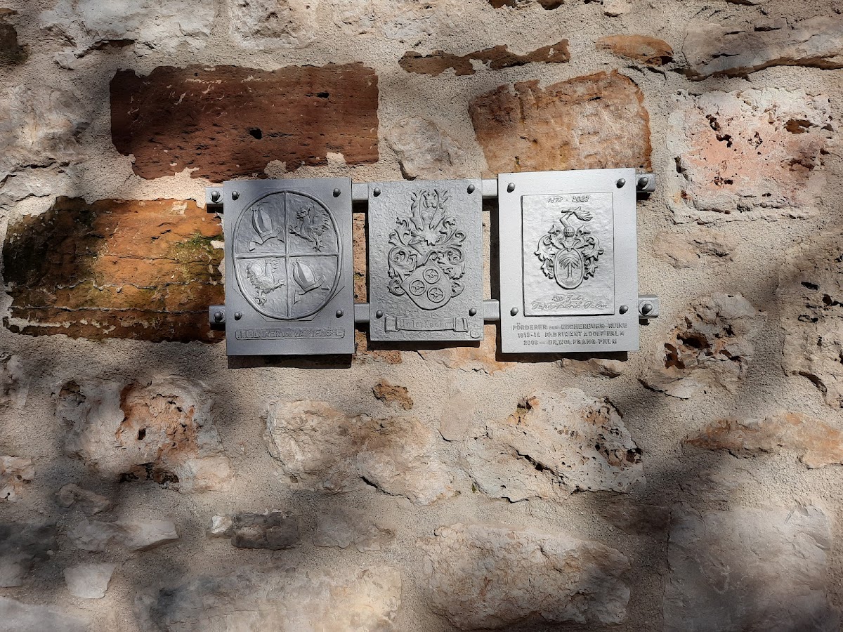
Between 1627 and 1632, Prince-Provost Johann Jakob Blarer von Wartensee ordered the dilapidated medieval buildings to be demolished and replaced by a palace. The master builder was Hans Alberthal, and the work cost 8,034 guilders. Plans from 1627 depict a three-wing Renaissance palace, although archaeological evidence indicates that this design was not built because the mountain spur was too narrow.
Swedish forces completely destroyed the newly completed palace in 1645 during the Thirty Years’ War, the major European conflict of 1618–1648. Stone from the ruins was reused in 1649 for a new administrative building and again in 1764 for the new parish church at Unterkochen. The Schlossbaufeld was afforested in 1813, and dense beech woodland subsequently concealed the ruins.
Excavation and Conservation
Investigations began again in 1913, when Adolf Palm, chairman of the Swabian Alb Association and a paper manufacturer, commissioned work at the castle. The castle painter and researcher Konrad Albert Koch directed the first re-excavations, exposing sections of masonry and preparing a ground plan and a possible reconstruction drawing. Further excavations in 1914, commissioned by the Ellwangen Historical and Antiquarian Association, uncovered a vaulted cellar and adjoining parts of an escape passage and defensive room.
The Initiative Ruine Kocherburg was established in 2007 as a committee within the Aalen Historical Society. After safeguarding work, it exposed a well-preserved 12-meter section of the southeastern shield wall in 2008. The wall was drilled and pressure-injected with cement to limit water penetration, while its masonry was later sandblasted. The southern wall was secured in 2015. An archaeological survey led by Tilmann Marstaller took place in 2010, followed by further clearance and exposure of walls.
Three-dimensional modeling and an animated reconstruction incorporated the castle’s topographical setting. The initiative continues to maintain the complex and prepare additional conservation work. In 2023, it received one of the Silver Half-Spheres awarded annually by the German National Committee for Monument Protection. Kocherburg is now an archaeological cultural monument, and a school in Unterkochen bears its name.
Remains
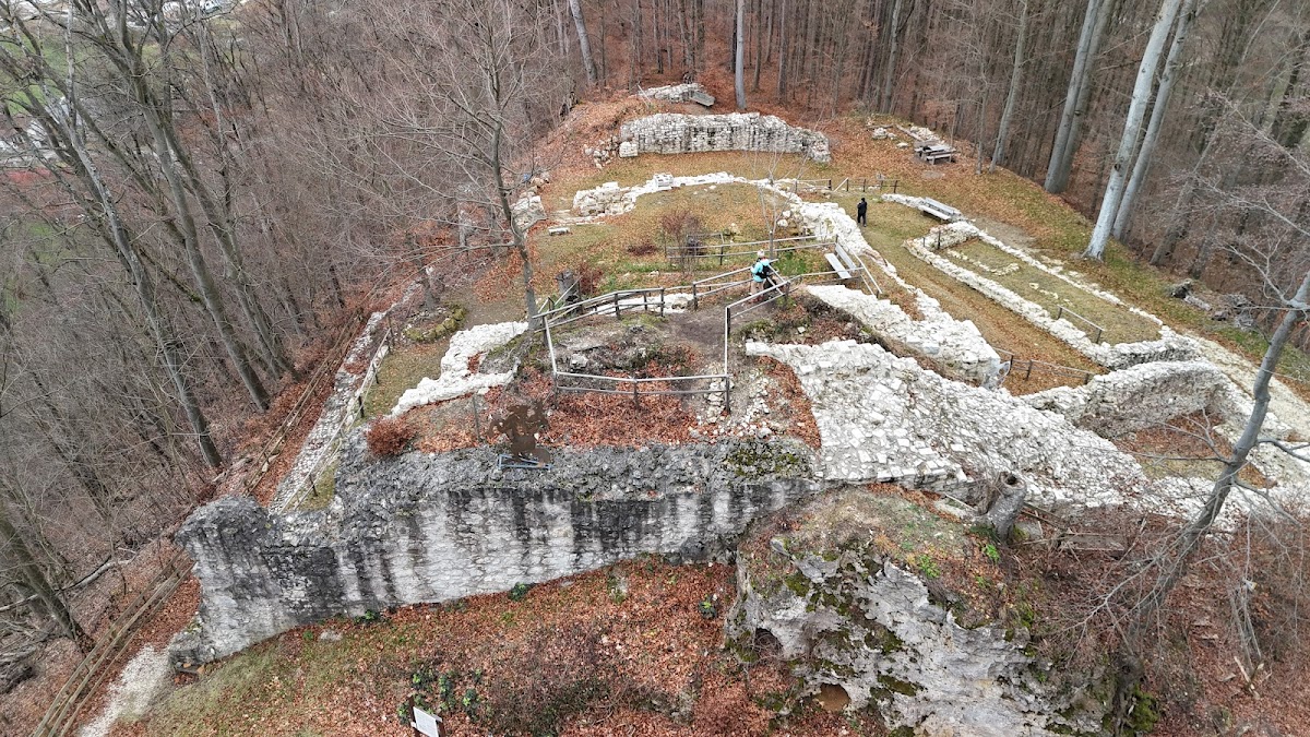
Kocherburg occupies the western tip of the Schlossbaufeld plateau of the Härtsfeld, at approximately 572.3 to 572.7 meters above sea level. The site lies between the source ravines of the White Kocher and the Häselbach, about 80 meters above the Häselbach Stadium and roughly 500 meters east of Unterkochen. The plateau covers about 0.3 square kilometers and slopes westward. Around 700 to 800 meters farther east, linear earthworks from the Bronze Age and Hallstatt period, an Iron Age period in central Europe, cross the beginning of the plateau.
Castle Layout and Defensive Works
A rock-cut neck ditch, a ditch cut across a narrow spur, and a partly preserved shield wall protected the eastern, landward approach. The central complex stood on a plateau at about 560 meters above sea level and consisted of three or four wings arranged around a light court, an open or partly open court that admitted light to the surrounding buildings. Bossed ashlar, made from cut stone blocks with projecting rough-finished centers, survives along the full southern wall and also appears inside the complex, where some blocks were reused from earlier construction.
Shield Wall
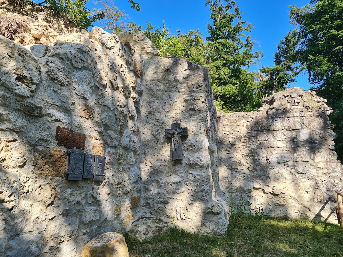
The southeastern shield wall formed the principal surviving defensive feature. A 12-meter section was exposed in 2008 and stabilized against water penetration. Bossed ashlar remains along the southern wall, while additional masonry was revealed through later clearance and conservation. The southern wall was secured in 2015.
Outer Bailey and Gateways
A lower outer bailey, an enclosed area outside the main defensive core, adjoined the palace on the west. From the northwest, the castle road climbed from the valley into the outer-bailey court, passed a round tower, and continued through a surviving inner gate into the main complex. The central area included a courtyard and a zwinger, the defended space between two lines of fortification. Remains of the western tower and the northern passage from the zwinger into the interior survive or have been exposed.
Interior Features and Archaeological Evidence
Cellar and Underground Passage
A vaulted cellar was uncovered during the 1914 excavations, together with adjoining sections of an escape passage and a defensive room. Another cellar in the northeastern part of the complex was exposed in 2021. These spaces form part of the archaeological remains visible at the site.
Southern Wall and Garderobe
An exterior garderobe shaft, a medieval latrine shaft, is preserved on the southern wall. It belongs to the surviving fabric of the castle and helps identify the practical arrangements within the fortified complex. Additional exposed wall sections, the vaulted cellar, and parts of the escape passage and defensive room contribute to the present understanding of the site.
The 1913 ground plan and reconstruction view offer interpretations of the castle based on the exposed evidence rather than complete surviving buildings. Later archaeological work, clearance, conservation, and three-dimensional modeling have made further parts of the medieval castle and its later palace site visible within the wooded complex.
Nearby sites