Castle of Benabarre: A Medieval Fortress and Comital Residence in Spain


Site at a Glance
- Rating
- 4.3
- Popularity
- Medium
- Country
- Spain
- Primary era
- Medieval
- External website
- Open
- Eras represented
- Medieval, Early Modern, Modern
- Civilizations
- Crown of Aragon, Spanish
- Site type
- Military
- Remains
- Fort
On this page13 sections
History
The Castle of Benabarre is a fortified hilltop complex in Benabarre, Spain, originating as a Muslim fortification in the late tenth or early eleventh century. Built when the area was under Muslim rule, it occupied an unstable frontier position and was known as Ibn Awar, a name probably connected with the modern name of Benabarre.
From Muslim fortress to Christian stronghold
The original defenses included rectangular wall towers around the fortified perimeter. In 1062, Ramiro I, the medieval king of Aragon, conquered Benabarre and ordered a castle to be built there. The new Christian stronghold secured the position after the conquest, and a Romanesque church was later established within the fortified area.
In 1322, James II, king of the Crown of Aragon, granted the title of Count of Ribagorza to his son Peter of Aragon. A count was a high-ranking territorial lord, while the County of Ribagorza was the regional lordship whose political center Peter established at Benabarre. The castle consequently became a comital residence, and the earlier Romanesque church was transformed into a Gothic temple.
The County of Ribagorza and later conflicts
Between 1577 and 1589, the castle was involved in the War of Ribagorza, a conflict over control of the county between supporters of Count Martin and his son Ferdinand of Aragon. In 1596, Philip II of Spain abolished the County of Ribagorza and incorporated it into the Crown, after which the castle was dismantled.
Near the end of the first third of the seventeenth century, the castle was ordered to be rebuilt in anticipation of the Catalan Revolt. Benabarre remained the capital of the County of Ribagorza during this period. Later wars involving Catalonia, the War of the Spanish Succession from 1707 to 1714, the Peninsular War, and the Carlist Wars reduced the complex to ruins. The Carlist Wars were nineteenth-century civil conflicts in Spain involving competing claims to the Spanish succession, and the fortification played a significant role in all three.
Conversion into a modern military fort
During the nineteenth century, the castle was converted into a fusilier fort, a defensive work adapted for infantry firearms. Its walls were narrowed and raised to accommodate contemporary light weapons, giving the complex much of its present military appearance.
In the last quarter of the nineteenth century, the remains of the Gothic church were converted into a military pavilion. The church had been partly dismantled about half a century earlier to provide material for the current parish church. The pavilion received two floors, and the choir arch was moved to the upper floor. Other nineteenth-century work adapted the defenses to new weapons and raised the bell tower of the current parish church. That tower later served as an aerial observation post during the Spanish Civil War.
Municipal monument and historic landmark
The castle became municipal property in 1922. Rehabilitation and adaptation as a monument began in 1991, including work camps in the early 1990s and the reconstruction of towers and walls by professional workers. The castle was declared an Asset of Cultural Interest in 2006. Together with the Church of Santa Maria of Valdeflores, it forms a landmark and focal point of Benabarre. The settlement grew from this nucleus into a hillside urban form on the southern slope, while the northern side is defined by an impassable drop.
Remains
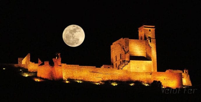
The surviving complex occupies an elongated limestone promontory above the town. Its approximately rectangular plan measures about 100 by 50 metres and includes corner bastions, surrounding walls, stepped enclosures, churches, a cistern, and later military works. Three fortified enclosures were superimposed during the site’s development. The present appearance is close to that of a nineteenth-century fort, although many walls and buildings associated with the earlier castle-palace of the Counts of Ribagorza remain.
Hilltop enclosures and defensive works
Upper enclosure
The upper enclosure is the older of the two stepped enclosures on the summit. Its walls and masonry follow the rocky spur, and parts of the surrounding rock were cut to receive foundations and walls. At the highest point are the springings of a square tower, possibly of Muslim construction. The limestone foundation also helped protect the walls from mining during sieges, since the rock made it difficult to tunnel beneath them.
Lower enclosure and outer defenses
The lower enclosure contains the remains of the twelfth-century church and sections of the surrounding wall surviving from their lowest courses. Beside the church portal, a dog-leg passage leads toward the upper enclosure. A semicircular tower protects this approach and is pierced by arrow slits.
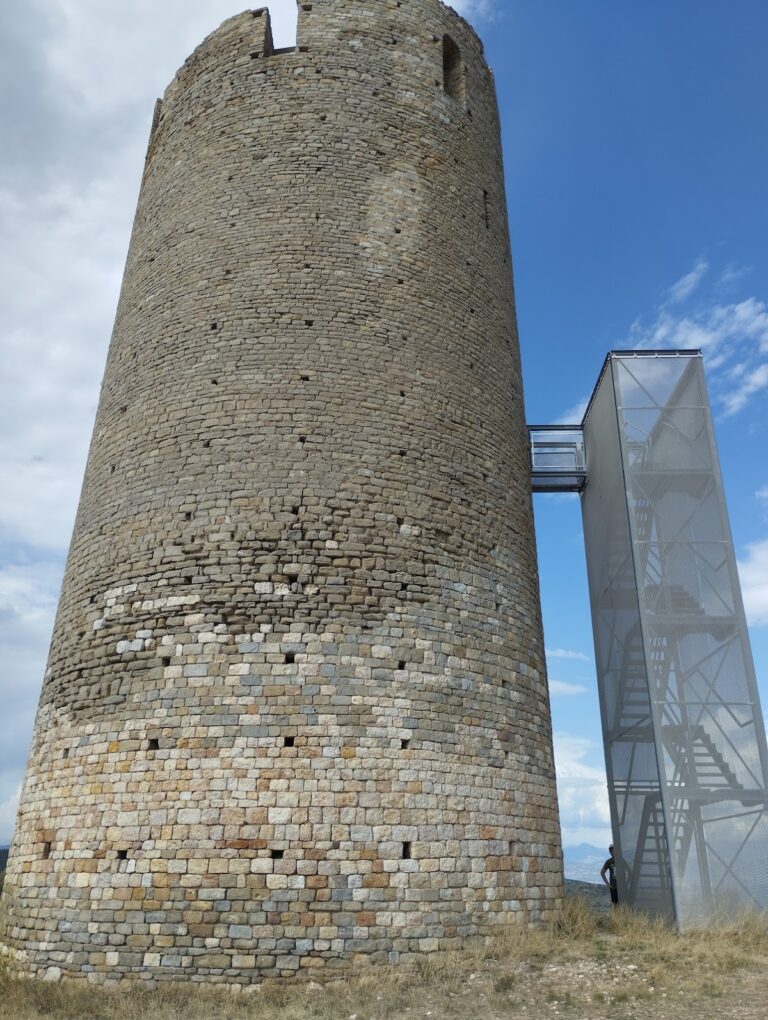
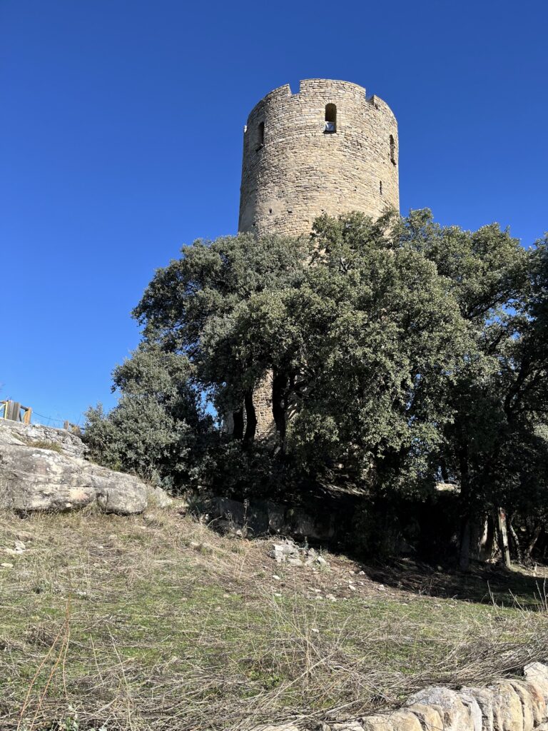
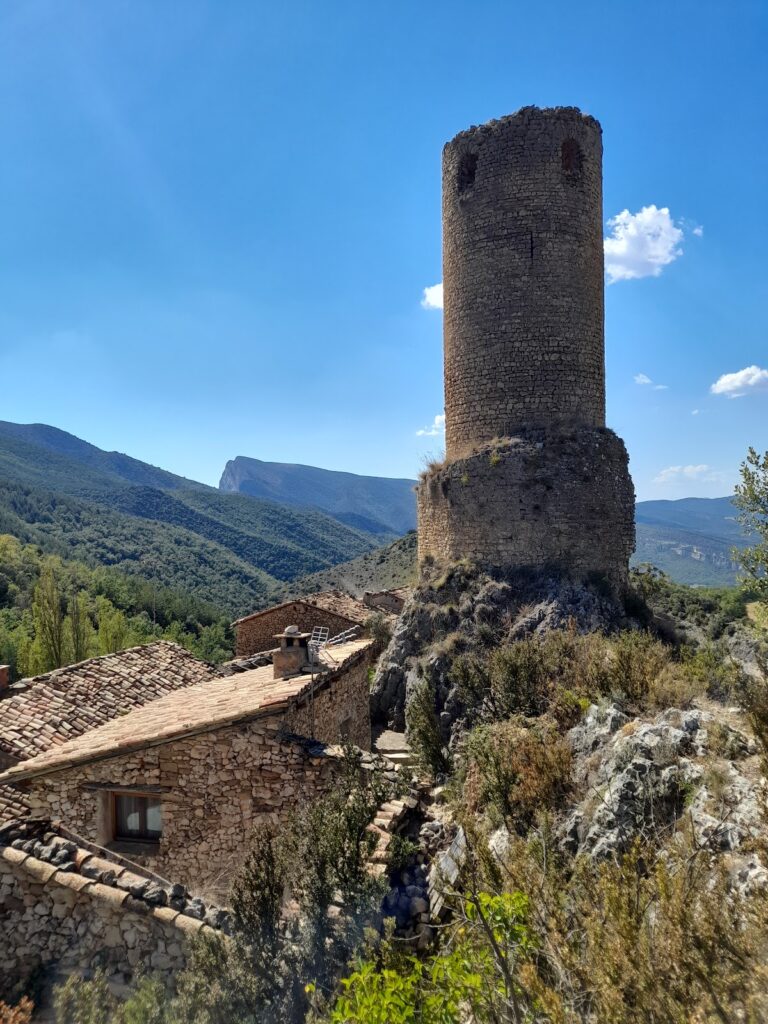
South of the rock, a courtyard and an outer enclosure occupy the lower part of the promontory. Their outer walls are battered, meaning that they slope inward as they rise. Circular watchtowers with arrow slits stand at the eastern and western ends of the complex. These towers were adapted for nineteenth-century weapons, and the site also preserves fourteenth- and fifteenth-century works alongside traces of earlier Islamic occupation.
Churches and associated structures
Romanesque church
The lower enclosure preserves the remains of a Romanesque church dating from the twelfth century. A tower stood at its foot and was later enlarged. The building formed part of the fortified complex before the site’s religious architecture developed into a Gothic church.
Church of Santa Maria of Valdeflores
At the end of the fourteenth century, the Gothic Church of Santa Maria of Valdeflores was built with a large ashlar tower. A rectangular body attached behind the tower may have served as the cistern. The church was later partly dismantled, and its surviving remains were adapted into the nineteenth-century military pavilion, which was divided into two floors and incorporated the relocated choir arch.
Later uses and surviving markers
Across its history, the complex accommodated a bell tower, cemetery, gardens, a shelter for the poor, an aerial-observation tower, and later use as a monument. Beside the castle, a geodesic marker stands at an elevation of 788 metres above sea level on a rock between the bell tower and a circular watchtower. A geodesic marker is a surveyed point used as a reference for geodetic measurement.
Nearby sites