Castle of Moura: A Frontier Fortress in Portugal
Site at a Glance
- Rating
- 4.4
- Popularity
- Medium
- Country
- Portugal
- Primary era
- Medieval
- External website
- Open
- Eras represented
- Classical, Medieval, Early Modern, Modern
- Civilizations
- Portuguese, Roman
- Site type
- Military
- Remains
- Castle
On this page16 sections
History
Castle of Moura is a fortified complex in Moura, Portugal, whose earliest major fortification was built under Muslim rule between the mid-eleventh and early twelfth centuries. The site occupies a limestone elevation that was probably first settled as an Iron Age hillfort and was later occupied by Romans, Visigoths, and Muslims. Under Muslim administration, Moura became the regional capital of the province of Al-Manijah.
Muslim foundations and the Christian reconquest
The Muslim stronghold was constructed in rammed earth, a technique that formed walls from compacted layers of earth. Surviving traces of this phase include the structure traditionally known as the Salúquia Tower. The fortification controlled a frontier landscape near the confluence of the Brenhas and Lavandeira watercourses, tributaries of the Ardila, on the left bank of the Guadiana.
Christian forces first captured Moura in 1166, when the brothers Pedro and Álvaro Rodrigues took the settlement. It was soon recovered by Muslim forces, then captured again in the same year by Geraldo Sempavor, a Christian military leader active in the Portuguese reconquest of Muslim-held territories. Moura changed hands four more times before the reign of D. Dinis. Christian control of the surrounding region became definitive from 1232.
The settlement’s legal position developed alongside these military changes. King Afonso Henriques granted Moura a foral in 1171, establishing its legal privileges, obligations, and administrative status. Afonso II confirmed the charter in 1217. D. Dinis issued a new charter on 9 December 1295, extended its privileges to the Moorish community in 1296, and renewed them in 1315.
Medieval reconstruction and frontier defense
During D. Dinis’s reign, the castle was rebuilt by incorporating the earlier Muslim walls. In 1320, the Order of Aviz, a Portuguese military-religious order involved in the defense and administration of frontier territories, donated one-third of the church rents from Moura and Serpa to the reconstruction and maintenance of the two castles. A line of frontier watchtowers was also established, including the surviving Cabeça Magra Watchtower.
In the second half of the fourteenth century, during the reign of D. Fernando, a second wall circuit was begun around the enlarged settlement. Moura and its castle later supported Beatriz and John I of Castile during the political crisis of 1383 to 1385, a succession struggle that followed the death of King Fernando and threatened Portugal’s independence. This position continued until the Battle of Aljubarrota in 1385, which secured the authority of John I of Portugal.
During the reign of D. Manuel I, the military character of the settlement was recorded in the Book of Fortresses, illustrated by Duarte de Armas around 1509. A new charter followed in 1512, and defensive modernization began under the direction of Francisco de Arruda. In 1562, D. Ângela de Moura founded the Dominican Convent of Our Lady of the Assumption within the fortifications, using the foundations of the former mosque. The convent remained in use until its abandonment in 1875.
Early modern fortification and military decline
During the Portuguese Restoration War, the conflict through which Portugal regained independence from the Spanish monarchy, King John IV’s War Council ordered the old defenses to be modernized and strengthened because of Moura’s position on the Spanish frontier. Nicolau de Langres designed a surrounding bastioned line with ravelins, projecting defensive works intended to protect the main fortifications from artillery attack. The same period produced the Quartéis Building, originally a group of barracks that incorporated the Chapel of Senhor Jesus dos Quartéis.
Spanish forces occupied Moura during the War of the Spanish Succession. After troops commanded by the Duke of Osuna withdrew, the walls were blown up in 1707, damaging part of the Salúquia Tower. The castle suffered further damage during the Lisbon earthquake of 1755. Its military importance then declined. The fortifications were left ungarrisoned from 1805, and between 1809 and 1826 their rammed-earth walls were reused as raw material for saltpetre production.
In 1850, José Pimenta Calça demolished the western section of the citadel wall to make way for the Vista Alegre oil press. Tiago Romano purchased the castle estate and ruins in 1915. The ruins of the Dominican convent and its church were classified as a Property of Public Interest by decree published on 27 March 1944. The castle itself also holds this classification.
Conservation and archaeological investigation
Public intervention began in the late 1950s through the General Directorate for Buildings and National Monuments and continued for about two decades. Consolidation and repair affected the towers and walls from 1959, the north wall in 1964, other wall sections between 1968 and 1970, the dungeon in 1971, and the church in 1972 and 1977.
Archaeological investigations took place in 1981, followed by repair and recovery work in 1982 and in 1985 and 1986. The surroundings were improved in 2002. Protection measures for the modern fortification were proposed in 2005, opened by the heritage authorities in 2006, and followed by special protection zones for the wall systems in 2010. Excavations carried out during the construction of tourist-reception buildings in 2011 uncovered first-century Roman funerary tombs and building remains.
A traditional legend links the castle’s history to Salúquia, described as the daughter of Abu Hassan, the Muslim governor of the region. According to the story, she was engaged to the commander appointed to defend the castle when Christian forces approached. Christians ambushed and killed the commander and his companions, disguised themselves in their clothing, and entered through the gates. The tradition connects this episode with the name Moura, the Salúquia Tower, a nearby olive grove associated with the ambush, and the town’s coat of arms.
Remains
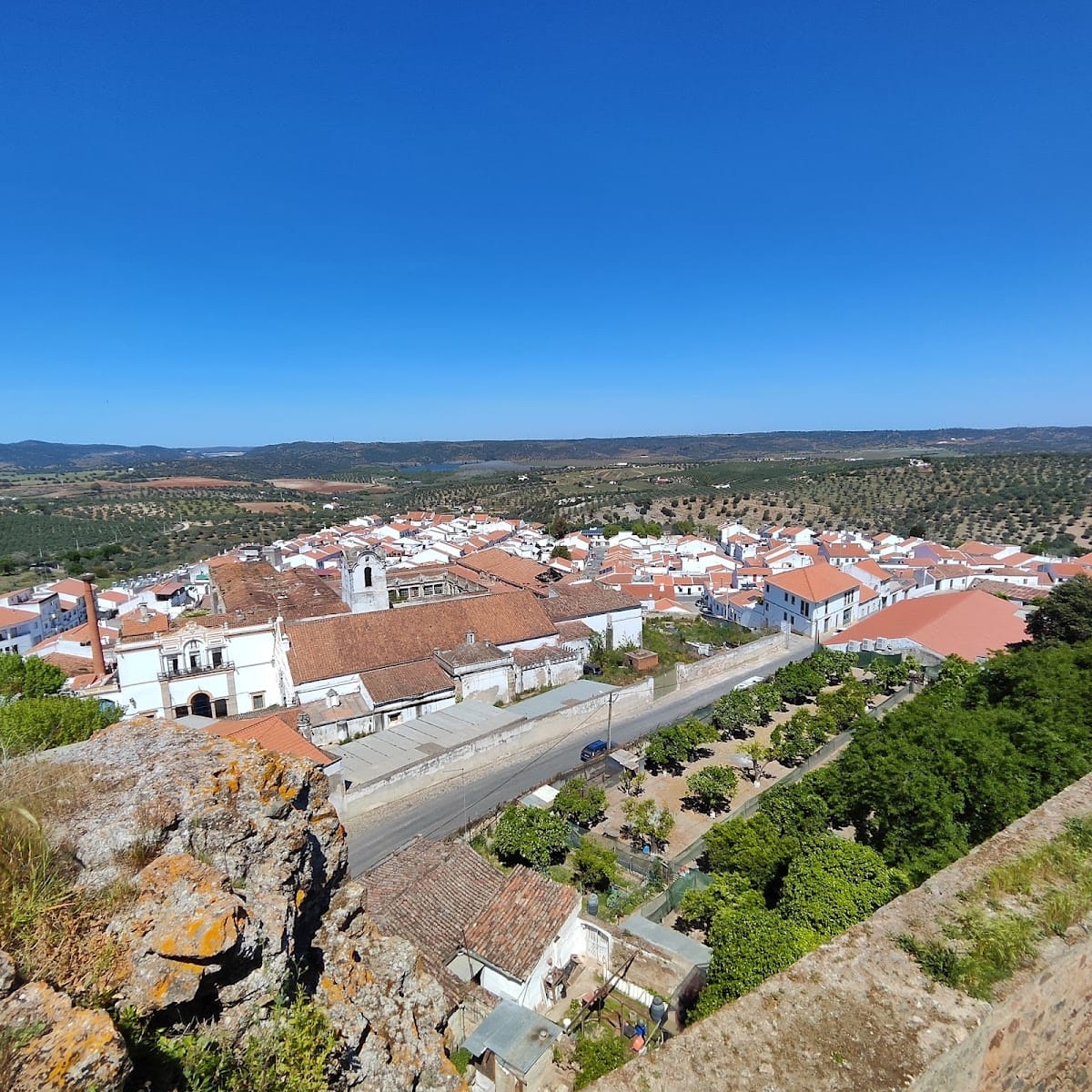
The surviving complex occupies a limestone rise approximately 184 metres above sea level on the northeastern edge of Moura. It lies at the meeting of the Brenhas and Lavandeira watercourses and is now within a Natural Reserve. The fortified area has an oval citadel and barbican, an outer defensive enclosure protecting the fortified core, with maximum dimensions of about 200 by 100 metres. The citadel occupies the southwestern part and is separated from the other spaces by its own wall.
Citadel defenses and towers
Citadel wall and keep
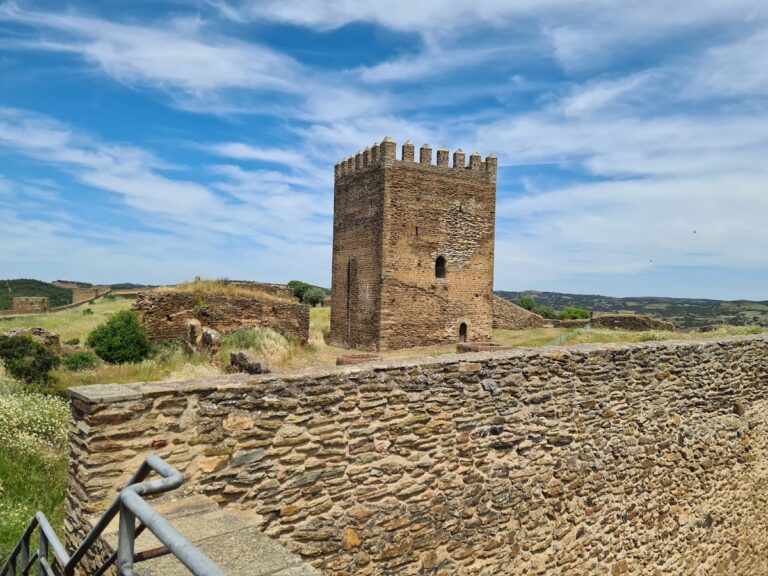
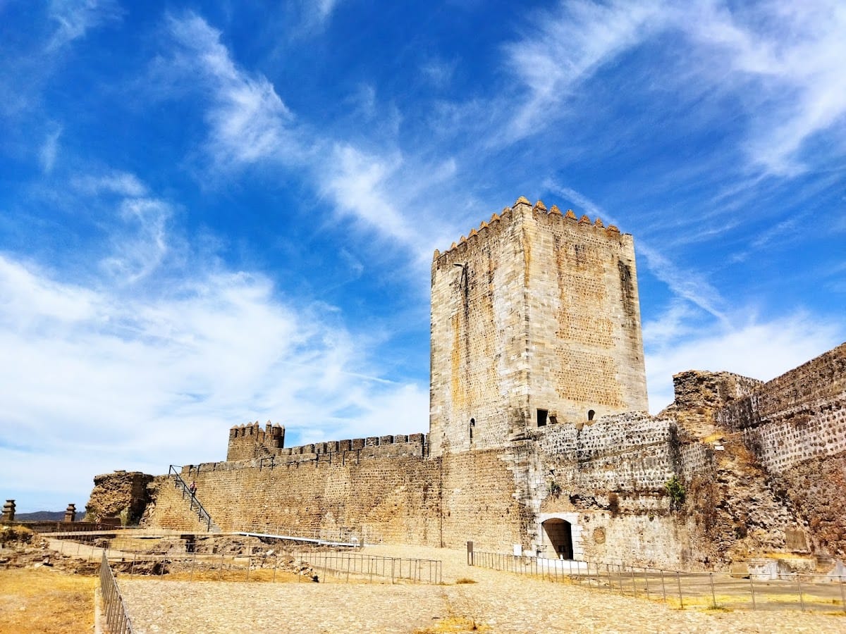
The citadel wall is strengthened by a square keep, a smaller flanking tower, and a semicircular projecting turret on the northern side. The keep and circular turret retain prismatic merlons, the raised sections of a battlement, topped with pyramidal forms. Vestiges of square towers also survive along the citadel wall.
The keep is square in plan and massive at its lower level. On the second floor, the Sala dos Alcaides, a hall associated by name with castle commanders or governors, is an octagonal room covered by a Gothic ribbed ogival vault. This vaulted ceiling is supported by eight slender columns. A passage links the keep with the wall walk, the defended passage along the top of a wall, and the terrace.
Gates and passages
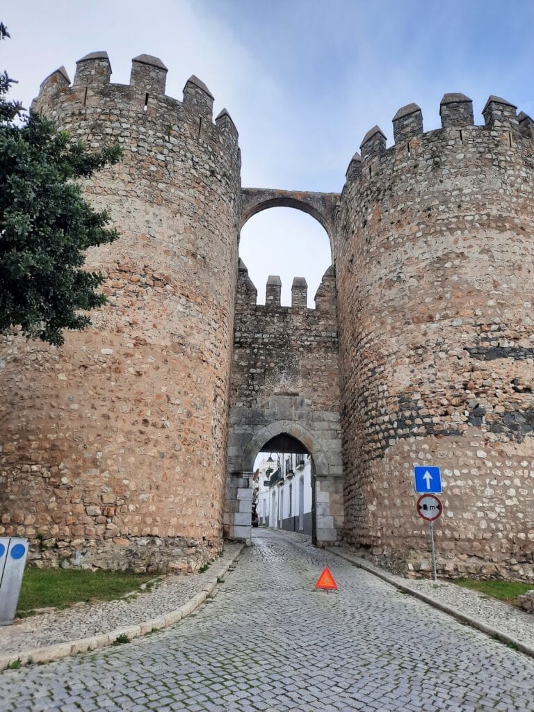
Entry to the citadel is made through a bent entrance on the southeastern side, designed so that the approach changes direction within the gateway. Another gate lies between the keep and the smaller tower. The principal southeastern entrance has a pointed arch enclosed by an alfiz, a rectangular frame surrounding an arch, and leads into a bent passage beneath the library building. A smaller gate is set in the northwestern wall.
Outer enclosure and clock tower
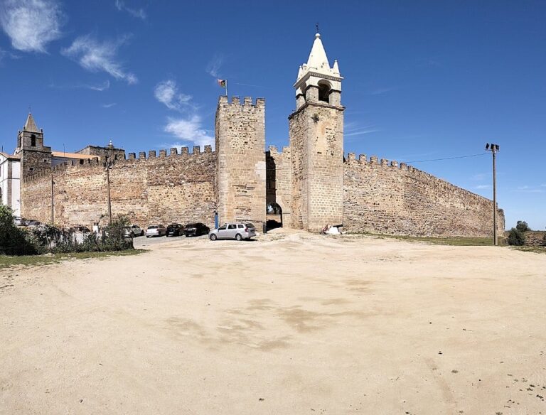
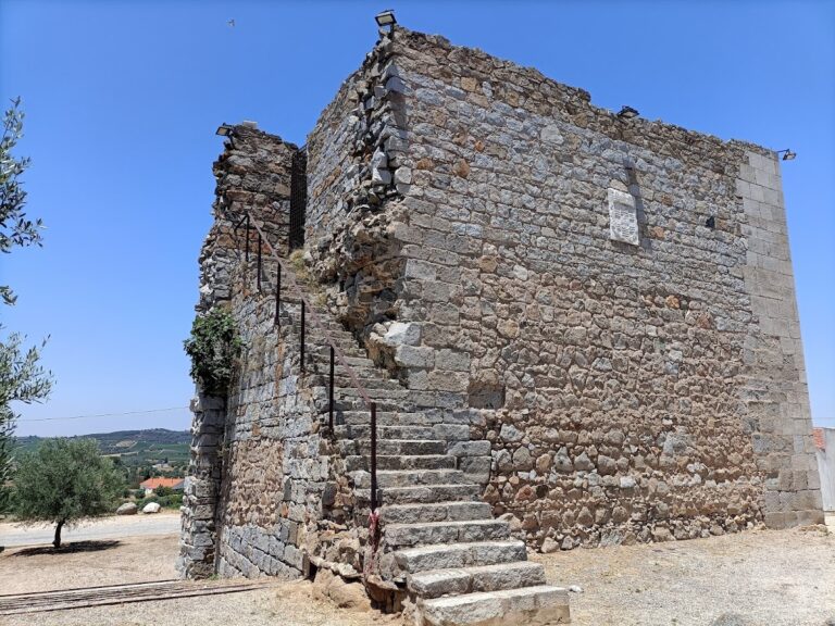
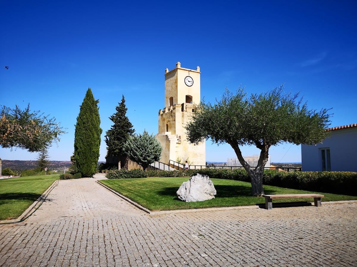
The outer enclosure retains sections of the northern barbican, a trapezoidal tower, the clock tower, and circular towers with rear chamfers. The Salúquia Tower stands in the northeast, while the clock tower occupies the southeast. The partly ruined Salúquia Tower preserves an arched passage leading toward the terrace.
The clock tower was built in the nineteenth century by adapting one of the earlier towers. It is square, has a battlement with prismatic merlons, and contains a passage giving access to the terrace. Much of the walling remains standing, and some sections retain their wall walks, although the merlons do not survive there. The outer enclosure is reinforced by towers with both quadrangular and circular plans.
Seventeenth-century defenses
The seventeenth-century fortification forms a star-shaped circuit with sloping walls and earthworks. It was originally surrounded by a moat, which is now almost entirely covered. Its projecting bastions and ravelins belong to the period when artillery defense reshaped the older medieval fortification.
Dominican convent and church
Convent buildings
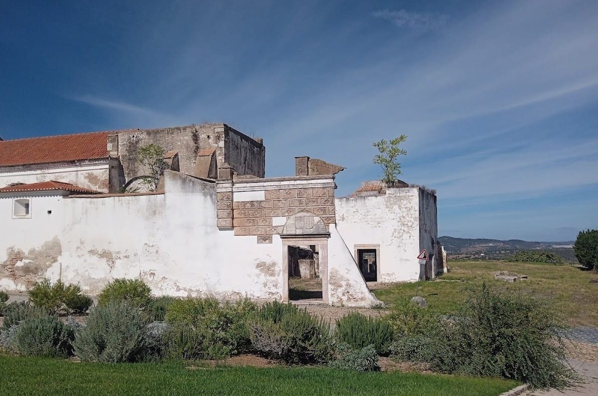
Within the barbican are the ruins of the Dominican Convent of Our Lady of the Assumption and its associated church. The convent consists of rectangular dependencies on the northern and eastern sides of the rectangular church. A chapel is attached to the southern side, and a bell tower stands to the north. The convent began in 1562 over the foundations of the former mosque.
Church exterior and interior
The church has a gabled principal facade with winding decorative elements, two rectangular openings, and three arches opening onto a vaulted galilee, an entrance porch, supported by corbels. Its southern facade contains a counter-curved doorway. Beside the presbytery, a ruined convent doorway retains a coat of arms carved into its tympanum.
Inside, the church has a single nave covered with tiles. A high choir extends above the galilee and part of the nave. The main altar lies beneath a vault that opens toward the nave through a rounded triumphal arch supported by pilasters.
Manueline tomb
A lateral chapel on the epistle side contains the Manueline tomb of Pedro and Álvaro Rodrigues. Manueline is the Portuguese architectural and artistic style that developed during the reign of King Manuel I. The tomb commemorates the brothers associated with the Christian capture of Moura in 1166 and with the traditional story connected to the origin of the town’s name.
Water supply and archaeological remains
The Arab Museum was built around the former well that supplied the castle. The Roman-period funerary tombs uncovered during the 2011 excavations date from the first century and, together with associated building remains, provide physical evidence of the site’s occupation before the medieval fortifications.