Alcimoennis: The Celtic Oppidum Traditionally Identified at Kelheim
Site at a Glance
- Popularity
- Medium
- Country
- Germany
- Primary era
- Iron Age
- Eras represented
- Iron Age, Medieval
- Civilizations
- Celtic
- Site type
- Settlement
- Remains
- Town
On this page17 sections
History
Alcimoennis is the name traditionally associated with the Celtic oppidum (a large fortified settlement of Celtic Europe) on Michelsberg near Kelheim, Germany. Its principal fortified phase belonged to the second and first centuries BCE and the late La Tène period, an Iron Age period named after an archaeological site in Switzerland. The settlement within its defenses was the second-largest oppidum in southern Germany after Heidengraben.
Early occupation
People inhabited the peninsula more or less continuously from about 13,000 BCE, and Celtic settlement activity was present by around 500 BCE. Near the Altmühl delta, an early La Tène settlement dating to 450–380 BCE included storage cellars linked to three farms and at least 15 buildings.
Between about 380 and 150 BCE, evidence for settlement becomes sparse. The later fortified community developed in the late La Tène period. Its inhabitants are unknown, and its political role remains uncertain. It may have served as a central settlement for an unidentified tribe, possibly a branch of the Vindelici, an ancient people of the Alpine and Danube region. That group may have been centered on Manching, another large Celtic oppidum.
Ironworking and abandonment
Iron production was central to the settlement’s economy. The area’s iron-rich ground supplied ore, while surrounding forests provided fuel for smelting. Nearby valleys supported crops and livestock, especially pigs, and fishing probably contributed as well. Its position beside two rivers and among other settlements may have helped sustain it. Some archaeologists interpret the site less as a city than as a fortified industrial center focused on iron production.
The oppidum was probably abandoned around the middle of the first century BCE, although the reason is unknown. If its inhabitants were Vindelici, abandonment may have followed conflict with the Marcomanni, a Germanic people whose migration south may have nearly destroyed the Vindelici and disrupted their settlements. In 15 BCE, Rome defeated and incorporated the remaining Vindelici. The territory south of Alcimoennis became part of Raetia, a Roman province in the Alpine region and its northern approaches.
The name and its identification
Around AD 150, the geographer Ptolemy included Alcimoennis in his Geography, among places in southern Germania, the broad region associated with Germanic peoples rather than a state with modern boundaries. He placed it north of the upper Danube and gave coordinates of 32°30′ longitude and 47°30′ latitude. The name has been linked to medieval forms of the Altmühl’s name, including Alcmona and Alcmuna. Other proposals connect it with an early European linguistic layer, Latin words for a road station, limestone, or fortifications, or a river-name ending.
The Kelheim oppidum is commonly identified as Alcimoennis, but the identification is not certain. In 1924, archaeologist Paul Reinecke proposed that the ancient name referred to this site. A team led by geographer Andreas Kleineberg later interpreted Ptolemy’s coordinates as pointing instead to present-day Sontheim an der Brenz. Heinrich Haas had earlier suggested Ornbau, without supporting evidence.
Later history and investigation
Mining on the plateau continued into the Middle Ages. In the early nineteenth century, after Napoleon’s French forces were defeated in the Wars of Liberation against Napoleonic rule, Bavarian King Ludwig I had the Befreiungshalle, or Hall of Liberation, built directly over settlement remains. The King Ludwig Main-Danube Canal was constructed through the Altmühl valley from 1836 to 1845.
Scientific excavations were directed by K. Schwarz in 1959–1960 and F.-R. Hermann from 1964 to 1972. Additional finds came to light during canal construction in the 1980s, through work by B. Engelhardt, B.-R. Goetze, and M. Hoppe.
Remains
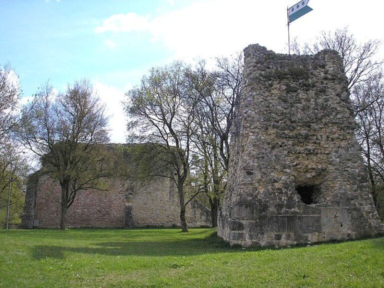
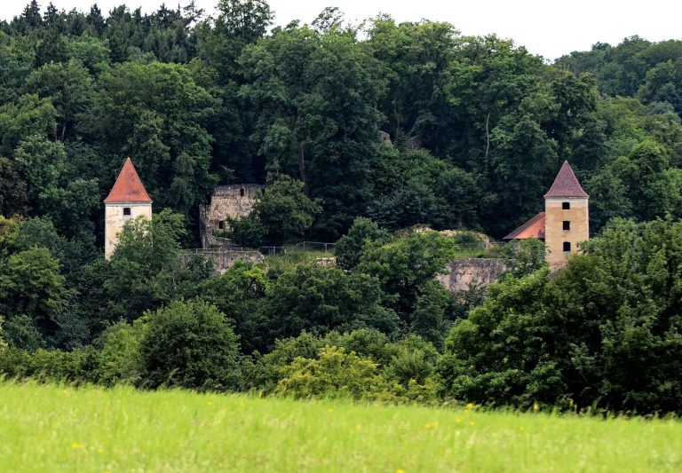
The hill fort occupied Michelsberg on the peninsula between the Danube and Altmühl. Its outer defenses enclosed Michelsberg and Hirschberg, an area of about 600 hectares, while inner defenses crossed the peninsula to protect Michelsberg. The walls combined timber, stone, and earth, and connected ramparts (earthen defensive banks) divided the defenses into sections.
Fortifications
At least three sectional defenses protected the oppidum. Their walls used timber posts with stone filling and earthen backing. The fortifications included pincer gates, entrances channelled by projecting wall sections. The outer rampart had three gates, the inner one had two, and a later wall along the Altmühl had one.
Outer rampart
The outer rampart crossed the peninsula for 3.3 kilometres, running from cliffs above the Danube near the later Weltenburg Abbey to the Altmühl’s southern bank. It was probably built in three stages. Its height reached about 6 metres in places and averaged 2–3 metres. A moat bordered some sections, though its defensive purpose is uncertain, since some depressions may have been dug to obtain construction material.
Inner rampart
A 930-metre inner rampart linked the Danube cliffs with the Altmühl and provided access to Michelsberg through two gates. It survives to a height of up to 4 metres. Along its outer side ran a moat about 2 metres deep and 7 metres wide, separated from the wall by a level strip about 5 metres across. The wall resembled the outer defenses and was rebuilt once.
Wall along the Altmühl
A 3.3-kilometre wall along the Altmühl’s southern bank was added in the latest construction stage. Built in the same timber-and-stone style, it received a gate later. Excavation indicated that its eastern end probably curved south near present-day Radlmüllergraben, west of Kelheim’s old town. Canal construction destroyed surviving sections. It also removed portions of the northern wall and traces of activity along the waterfront.
Settlement and ironworking
Mitterfeld and dwellings
The Mitterfeld, at the foot of the hill, contained an artisan quarter. Dwelling remains have also been found there and in the Altmühl floodplain. Some show signs of fire, and one building was identified as a bronze founder’s workshop. The settlement’s buildings were made of timber and had thatched roofs.
Mines and smelting
Prospecting pits and mine dumps of Celtic and medieval date cover more than half the plateau between the outer and inner ramparts. Ovens and charcoal provide evidence of smelting on the site. Excavations among heaps of ironmaking waste behind the inner rampart revealed remains of at least one La Tène smelter and three medieval smelters.
Enclosure and burial grounds
Square enclosure in the Altmühl delta
A square ditched enclosure, about 100 metres on each side, stood on elevated ground on an island in the Altmühl delta. Its moat reached up to 8 metres in width and 3.2 metres in depth. Nineteen late La Tène graves lay to its east. Building remains to the north may have belonged to dwellings or storehouses, but their purpose is uncertain.
The enclosure was discovered in 1909 and excavated in 1978 or 1979, before canal construction destroyed it. Gravel extraction had already altered its interior before the excavation.
Burial grounds around the oppidum
Bronze Age and Iron Age burial grounds lie in the surrounding woods. Groups of grave mounds about 1–2 metres high remain visible, notably near Altessing. The graves may include local residents, but their number is small compared with the settlement’s former population. This has led to the suggestion that cremation was used for most people, while mound burial was reserved for socially important individuals. Finds include decorated urns and a bronze steer figurine dating to about 200 BCE.
Graves within the settlement
A grave near the centre of the oppidum contained a bronze wine jug, probably imported from Campania in southern Italy, together with a spearhead and sword. The objects were found in 1863. Another grave yielded four brooches from the middle La Tène period, while a separate grave dating to the third or second century BCE contained a sword and its scabbard.