Calatia: An Ancient Town on the Via Appia in Italy
Site at a Glance
- Popularity
- Medium
- Country
- Italy
- Primary era
- Classical
- Eras represented
- Iron Age, Classical
- Civilizations
- Etruscan, Roman, Samnite
- Site type
- Settlement
- Remains
- Town
On this page11 sections
History
Calatia was an ancient town on the Via Appia in the territory of present-day Maddaloni, Italy, near the boundary with San Nicola la Strada. It probably began in the Iron Age as a small fortified village beside an established north-south route, before the Via Appia was built. Its earliest cultural affiliation is uncertain: Etruscan and Oscan origins have both been proposed, and it later came under Samnite and Roman control. Its position on a route that turned east toward the mountains gave the settlement strategic importance.
Early settlement and Samnite conflict
Burials from the eighth century BC suggest that the early community had central authority, perhaps exercised by a chief. Etruscan pottery and other finds point to connections with Etruria and with Greek settlements in the region, including Cumae. The Etruscans and Oscans were distinct peoples of ancient Italy, while Cumae was a Greek settlement in Campania.
During the fifth century BC, Samnite expansion displaced Etruscan power across Campania, while Calatia continued to grow. In 321 BC, the Roman consuls Spurius Postumius Albinus Caudinus and Titus Veturius Calvinus camped at Calatia before their defeat at the Caudine Forks in the Second Samnite War, one of Rome’s conflicts with the Samnites. The town changed hands repeatedly in the later fighting. Samnites captured it in 313 BC, and the Roman commander and dictator Fabius Maximus Rullianus retook it. Samnite forces seized it again in 311 BC, before the Roman consul Gaius Junius Bubulcus Brutus captured it in 309 BC.
Roman rule and the Punic wars
Calatia’s increasing prominence is reflected in the career of Aulus Atilius Calatinus, who was consul between 258 and 254 BC and dictator in 254 BC. A Roman dictator held exceptional authority, usually for a limited term.
After Rome’s defeat at Cannae in 216 BC, during the Second Punic War against Carthage, Calatia joined Hannibal’s alliance with Capua and Atella around 216 to 215 BC. Hannibal, the Carthaginian general, stationed a garrison in the town. Rome retook Calatia in 211 BC, removed its inhabitants’ voting rights, made its territory public land, and exiled or executed leaders of the revolt.
Rome’s settlement of displaced communities in 210 BC also affected Calatia. The people of Acerra were allowed to rebuild homes damaged by fire, while the people of Nuceria, whose city had been destroyed, were permitted to move to Atella. The inhabitants of Atella, in turn, were required to settle at Calatia.
Imperial status and changing fortunes
Calatia appears to have taken part in the Social War, the conflict between Rome and its Italian allies in the early first century BC. Sulla later made it a subordinate town within Capua’s territory. In 59 BC, Julius Caesar restored its independence and founded a colony for veterans, assigning them land around the town. After Caesar’s death, the colonists were among the first to support Octavian, later known as Augustus.
In the imperial period, Calatia regained civic rights and was enrolled with Capua, Atella, and Acerra in the Falerna tribe, one of Rome’s civic voting divisions. Strabo described the town as flourishing in his time, and inscriptions and Pliny the Elder identify it as a municipium, a community with recognized status within the Roman state. Its omission from two of three ancient route itineraries suggests that it may later have declined to village status.
Ancient writers place Calatia on the Via Appia between Capua and Beneventum. Strabo discusses it in Books V and VI, while Livy’s first reference concerns the Second Samnite War. Appian places Capua between Calatia and Casilinum, the ancient settlement at modern Capua. Calatia has sometimes been confused with Caiatia, a separate town near modern Caiazzo, north of the Volturno River. The Peutinger Table, a map of Roman roads preserved in a medieval copy, places Calatia south of the river on the Appian route toward Beneventum. Camillo Pellegrino recognized the difference between the two towns, and Theodor Mommsen later clarified it, drawing on local studies including those of Francesco Daniele.
Christian and medieval Calatia
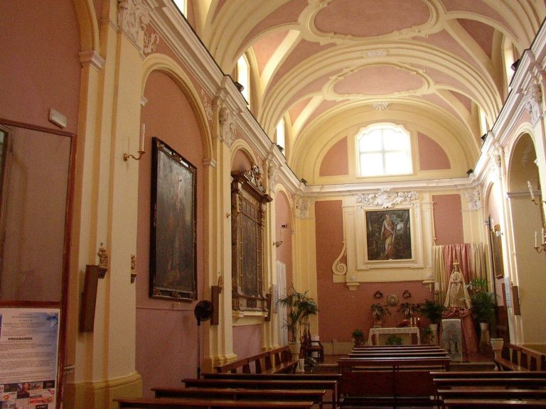
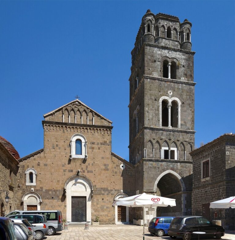
Calatia became a Christian episcopal seat, the center of a bishop’s authority. After barbarian invasions, the seat was transferred to Casertavecchia, where the bishop and clergy also took refuge when Calatia was devastated. A local tradition names Saint Augustus as the first bishop and founder of the diocese.
Repeated Saracen raids culminated in the city’s destruction in 880. Its residents fled to the hills of Maddaloni, while the bishop and clergy moved to Casertavecchia. Ecclesiastical records of the twelfth century nevertheless name a church called Santa Maria ad Calatiam.
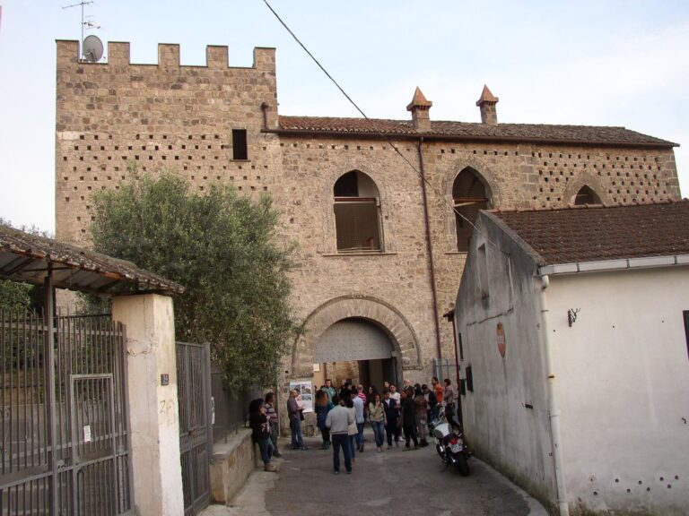
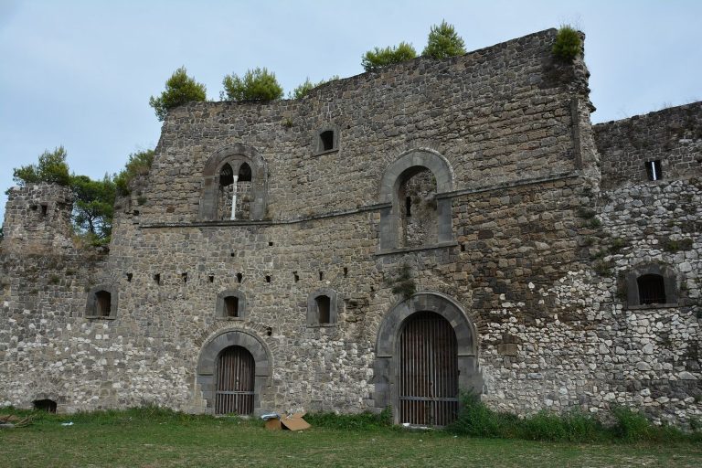
Santa Maria di Calatia is securely named in the 1113 Bull of Senne. The wording associated with it has been taken to indicate a pre-eminent role, possibly that of a cathedral. San Giacomo is not named in that bull but appears in a privilege issued by Pope Alexander III in 1178. Its possible status as Calatia’s cathedral remains uncertain, and its religious following may have been introduced by Roberto di Lauro Sanseverino. The church later appears under the name San Giacomo delle Galazze alongside the Torrioni; it may have remained in use for a long period and may have come under the Order of Malta. Privileges granted by the counts of Caserta and local bishops may have encouraged settlement to revive.
Remains
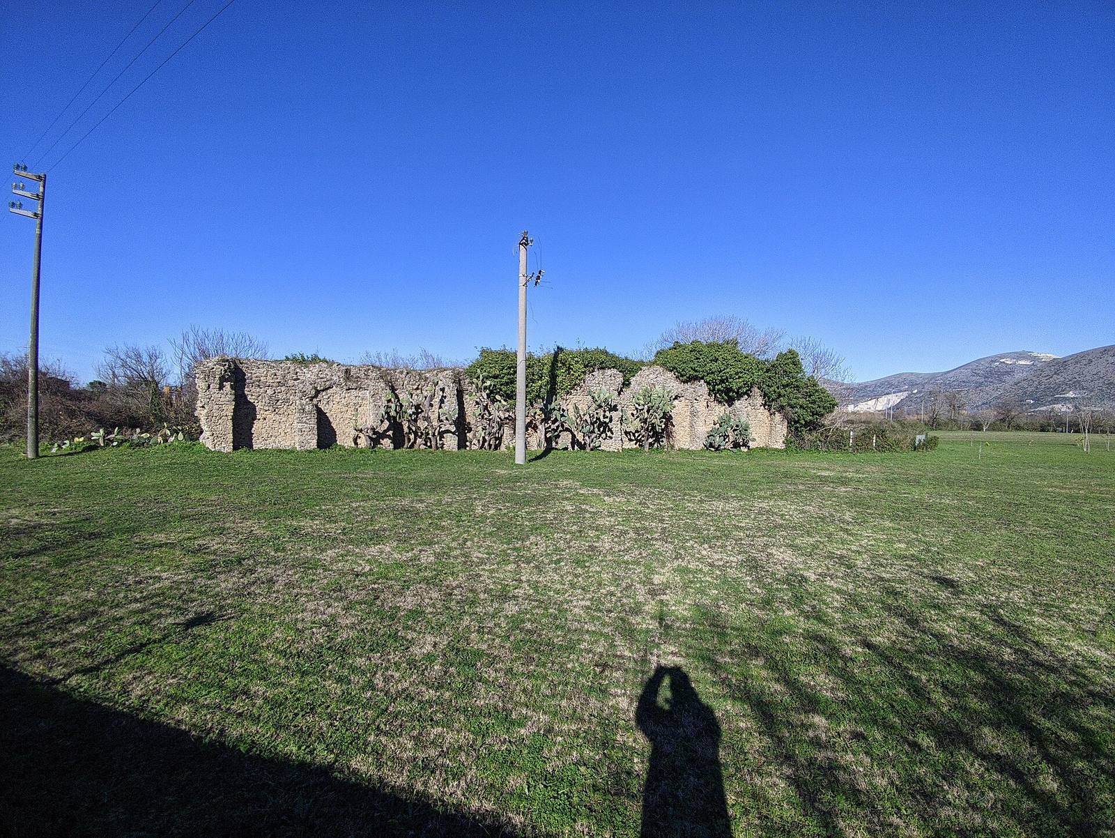
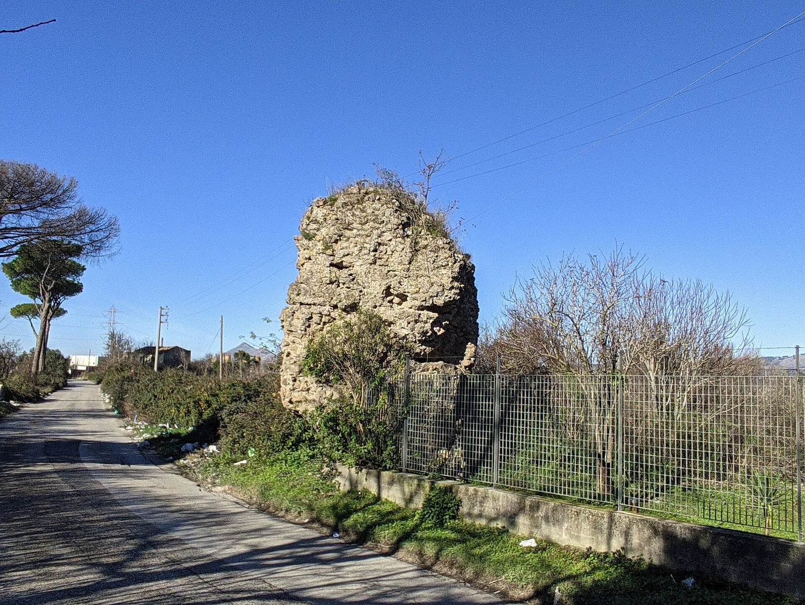
Calatia covered about 16 hectares, and its surviving remains include traces of the town’s street, walls, houses, cemeteries, and coinage. Much of the ancient settlement lies beneath the present ground surface. The ancient town was described as having modest walls.
Town layout and defences
Calatia lay about 10 kilometres southeast of ancient Capua, near the point where the Via Popillia branched from the Via Appia. The modern road between San Nicola la Strada and Maddaloni follows the line of the Appian route. At Calatia, the road turns east for about 500 metres before continuing southeast. This stretch was associated with the town’s principal east-west street.
City wall
A surviving stretch of wall measures about 34 metres and belonged to the northwestern circuit, toward Capua and along the principal east-west street. The Samnite section consists of large, squared blocks of tuff, a volcanic rock. A section attributed to the period of Sulla has a net-patterned masonry face on the outside and irregular stonework on the inside.
Domestic remains
Foundations of houses survive beneath the modern surface. Courtyard and dwelling floors were made mainly from stone slabs or compacted clay.
Necropolises
Two cemeteries lay along the west-east route that later became the Via Appia, one southwest and the other northeast of the ancient center. Together they partly frame the old town. Their use continued into late antiquity, although archaic and classical graves that can be dated securely are rare. Part of the pre-Roman cemetery was excavated in 1882, and both cemetery areas have also been explored more broadly.
The oldest identified graves date to the last quarter of the eighth century BC. They are simple pits cut into the earth, often with the person laid on their back and covered with limestone pebbles. Graves with tile covers appear from the seventh century BC; burials of the fourth century BC include tuff cists, stone burial containers made from volcanic rock. Both cremation and burial of the body were practiced.
Grave goods include fibulae, brooch-like clothing fasteners, perfume flasks, swords, daggers, spears, jugs, cups, other vessels, coins, and lamps. Ten shafts lined with tuff slabs may have served either as approaches to tombs or as wells. Finds from Calatia are held at the Archaeological Museum of Calatia.
Bronze coinage
Calatia’s known coins are bronze issues bearing inscriptions in Oscan, the language of the Oscans, and date to 216 to 211 BC. Their denominations were fractional units of bronze coinage. The quatrunx, weighing 19.38 to 23.27 grams, shows Jupiter’s head on one side and a four-horse chariot, or quadriga, driven by Victory on the other, with Jupiter hurling a thunderbolt. One biunx weighs 12.30 to 13.65 grams and pairs Jupiter’s head with a quadriga in which Jupiter hurls a thunderbolt. Another, weighing 8.93 to 13.20 grams, shows Jupiter’s head and two stars, with a two-horse chariot, or biga, associated with Diana and two stars on the reverse.
Two known uncia issues show different designs. One weighs 6.80 grams and pairs Jupiter’s head with a galloping horse; the other weighs 5.12 grams and shows Victory crowning a trophy opposite Jupiter’s head. The semuncia, weighing 3.75 grams, bears Jupiter’s head and the tip of a trident. The coins were probably struck at a mint shared by allied cities. Its location is uncertain, and Capua is considered an unlikely site.