Tannowa Nisanzai Kofun: A Fifth-Century Japanese Burial Mound
Site at a Glance
- Popularity
- Medium
- Country
- Japan
- Primary era
- Classical
- Eras represented
- Classical
- Civilizations
- Yamato
- Site type
- Burial
- Remains
- Burial Mound
On this page11 sections
History
Tannowa Nisanzai Kofun is a Japanese burial mound near Osaka Bay in southern Osaka Prefecture, Japan, built around AD 440–460 during the Kofun period, an era of monumental tomb construction. Its keyhole-shaped plan joins a circular rear section to a projecting rectangular front. The mound belongs to the Tannowa Kofun Group, and its construction marked the end of large-mound building in the area.
Fifth-century construction
Tannowa Nisanzai Kofun was built after Seiryo Kofun and at about the same time as Nishikoyama Kofun. Techniques used to make some of its haniwa, clay objects associated with burial mounds, also occur at the Kinomoto Kofun Group in the Wakayama Plain. The scale of the tombs at Misaki has been considered too great to reflect local resources alone, prompting an inference of Kii-clan involvement. The Kii clan was an influential ancient family associated with the Kii region.
Tomb traditions and identification
The person buried in the mound has not been securely identified. The Imperial Household Agency assigns it to Inishiki-iri-hiko no Mikoto, a son of Emperor Suinin, who is traditionally counted as Japan’s eleventh emperor, although the basis for this identification is unclear. The Nihon Shoki and Kojiki, early chronicles combining history and mythology, do not establish the location of his tomb.
Ki no Oyumi, a fifth-century general, has also been proposed as the occupant. The Nihon Shoki places his burial at Tamuwano village in the ninth year of Emperor Yuryaku’s reign. Another proposal assigns Ki no Oyumi to either Tannowa Nisanzai Kofun or Seiryo Kofun, and Ki no Funamori to the other mound. Funamori is dated to 731–792, centuries after Tannowa Nisanzai Kofun was built.
The tenth-century Engishiki, a compilation of court regulations and ritual procedures, lists an Udo Tomb in Hine District, Izumi Province. It describes a precinct about 327 metres square and assigns three households to care for it. The tomb’s location had been lost by the medieval period. The name Nisanzai is thought to derive from a changed pronunciation of misasagi, the Japanese word for an imperial tomb.
Designation and administration
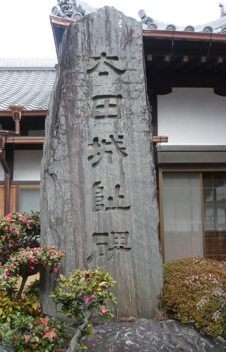
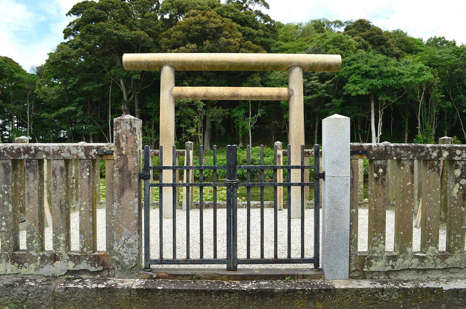
In 1874, a local gazetteer was used to identify Tamadayama as the tomb’s location, and the site was formally designated there the following year. That designation was withdrawn in 1879. On 28 December 1880, Tannowa Nisanzai Kofun was designated as the tomb of Inishiki-iri-hiko no Mikoto under the name Udo Tomb. The Imperial Household Agency, the Japanese government body responsible for administering designated imperial tombs, now manages the site.
Remains
Mound and setting
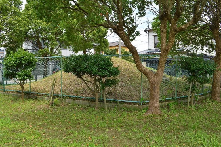
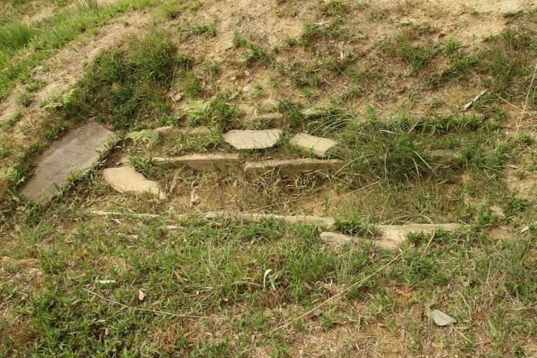
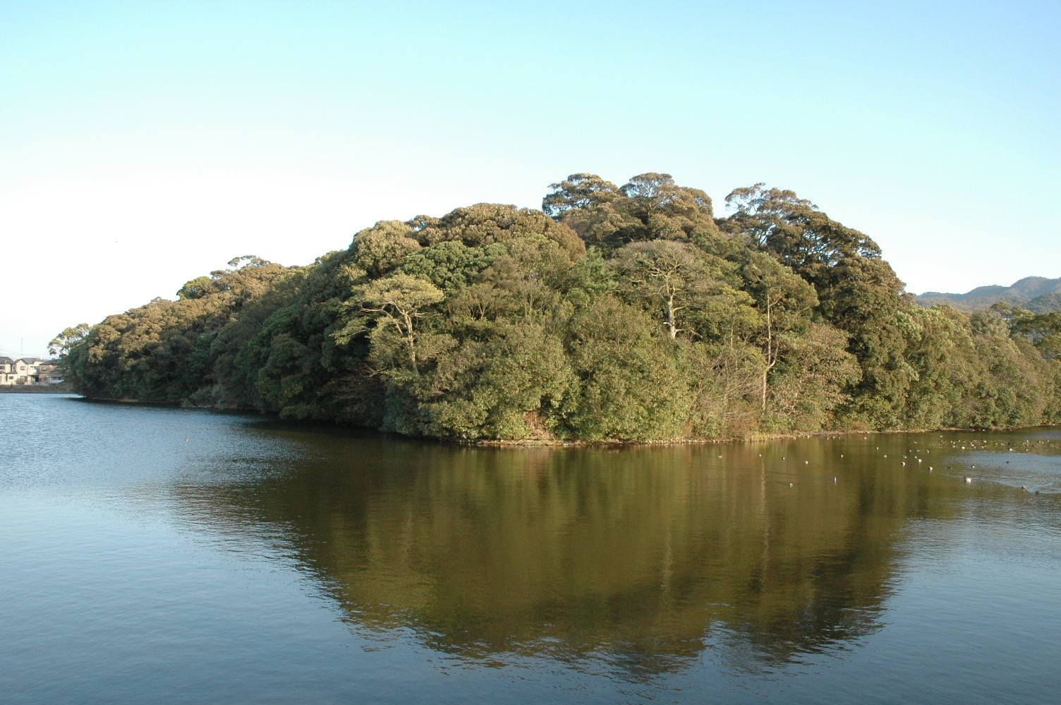
The mound stands on a plateau near Osaka Bay, about 800 metres east of Seiryo Kofun, with Nishikoyama Kofun between them. Its keyhole plan comprises a circular rear section and a projecting front, both formed in three tiers and faced with stone on the exterior. The mound measures 173 metres in length, with a reconstructed length of about 180 metres.
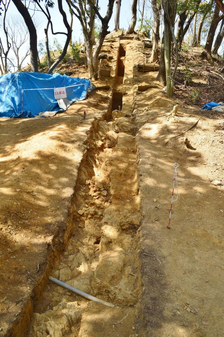
The circular rear section is about 93 metres across and 13.5 metres high; reconstructed, it is about 102 metres in diameter. The front is about 111 metres wide and 12.25 metres high, with a reconstructed width of about 122 metres. The uppermost tier rises markedly above the lower two. The mound was cut into natural ground through the midpoint of the first tier, then built up with earth. Water movement in the moat has eroded its base, and the reconstructed measurements account for that loss.
Moat circuit and subsidiary mounds
Moats
Two moat circuits originally surrounded the mound, although only the inner circuit survives. Investigations on land adjoining the mound to the south in 1981–82 confirmed the double circuit.
Subsidiary mounds
Seven smaller mounds were arranged near the circular rear section, along the outer edge of the moat. Six remain.
Rectangular projections
Rectangular projections extend from the mound where its front and rear sections meet on the north and south sides. The southern projection has two tiers and measures about 24 by 21 metres; its reconstructed east–west length is about 26.7 metres and its reconstructed height about 3.5 metres. It may have served as a raised platform, a feature more commonly placed atop a mound’s front section. The northern projection measures about 20 by 11 metres. Burial deposits or grave goods have been considered possible in either projection.
Haniwa
Finds include cylindrical haniwa with a stoneware-like ceramic quality, as well as figurative examples shaped as houses, shields, umbrella-like objects, and birds. Stoneware refers here to the ceramic quality associated with Sue ware, a high-fired Japanese pottery tradition. Some pieces show locally distinctive methods known as the Tannowa style. Surveys tied to stonework repairs, fencing, and protective work in 1983–84 recovered haniwa; a preliminary investigation before mound-improvement work in 2014 recovered further examples, with results reported in 2016.