Ryūgakuji Kofun Cluster: An Ancient Japanese Burial Ground
Site at a Glance
- Popularity
- Medium
- Country
- Japan
- Primary era
- Medieval
- Eras represented
- Medieval
- Civilizations
- Yamato
- Site type
- Burial
- Remains
- Necropolis
On this page18 sections
History
The Ryūgakuji Kofun Cluster is a group of ancient Japanese burial mounds on the Shimōsa Plateau in Japan. Local chiefly groups built the mounds from the sixth through seventh centuries, during the Kofun period, an era of monumental mound building conventionally dated from roughly the third to seventh centuries. The cemetery appears to have served several chiefly lineages, with large tombs and smaller burials built during overlapping periods.
A shared chiefly cemetery
In the sixth century, the mound builders initially raised mostly small tombs. During the later part of that century, regional leadership around Lake Inbanuma seems to have shifted from the chiefs associated with the Kōzuhara Kofun Cluster to the chiefly groups who built at Ryūgakuji. Their growing influence has been connected to control of water routes along the former Katori Sea toward Hitachi and the Tōhoku region, as well as closer ties to the Yamato court, the ancient Japanese royal court, and elites in the Kinai, the central region around its seat of power.
Some researchers have proposed that one leading chief also headed a service group directly connected to the royal house. The mound builders are traditionally identified as the chiefs of Inba, while more recent research has linked them to a local chiefly lineage.
Sengenyama and the end of mound building
The construction of Sengenyama Kofun marked a major change in the cemetery. Its date remains disputed: it has been placed either in the early seventh century or in that century’s second quarter. It is considered one of the last keyhole-shaped tombs built in Japan. Square tombs followed, including Iwaya and, later, Miso Iwaya. Construction of large mounds declined from around the middle of the seventh century, and mound building at the cluster ended late in that century.
Temple and district authority
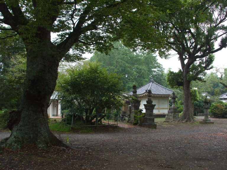
Ryūkakuji Temple was established north of the cemetery during the second half of the seventh century, possibly around 650–660. Its close connection with the local chiefs has led to the interpretation that their authority was shifting from tomb building toward support for Buddhist temples.
The Ōhata site, west of the cemetery, is thought to have served as the administrative center of Habu District from the late seventh through the eighth century. Together, the temple and this center suggest that the chiefly group retained influence after mound building ended. Its leaders may later have served as district officials under the ritsuryō system, Japan’s centralized system of law and government.
Records, investigation, and preservation
The earliest known written reference to the cemetery is a record from 1591 describing Iwaya Kofun. It indicates that the tomb’s stone burial chamber was already open. Further writings about Iwaya appeared in 1816, 1821, and 1845.
Gotō Shūichi surveyed the wider cluster in 1933. Waseda University archaeologists excavated round mounds Nos. 110 and 109 in 1947 and 1952, respectively. A distribution survey begun in 1960 led to the first study of the cluster as a whole, published in 1964. That study proposed that Sengenyama had initiated mound building there, an interpretation overturned by excavations at the tomb in 1996–1997.
Surveys and excavations from the 1960s onward clarified the extent and arrangement of the mounds. Preservation work in the late 1970s and early 1980s helped establish a consistent numbering system, finalized in 1988. Later investigations included measurements and radar surveys at Sengenyama in 1994–1995, followed by excavations that established its place among the cemetery’s later keyhole-shaped tombs and yielded evidence about its construction and burial practices.
Iwaya Kofun became a National Historic Site in 1941, when the designation covered that tomb alone. On February 12, 2009, it was expanded to include 92 additional mounds, including Sengenyama, under the name Ryūkakuji Kofun Cluster and Iwaya Kofun.
Remains
Setting and distribution
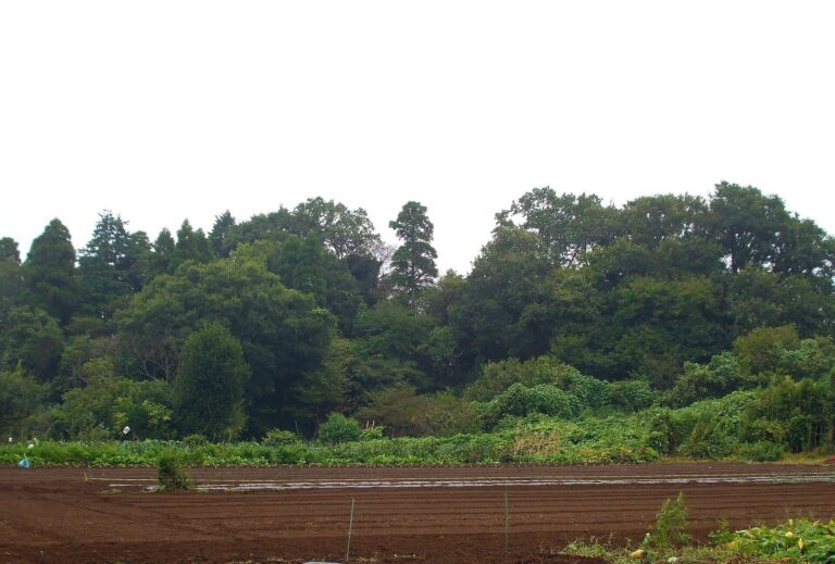
The cemetery occupies a narrow stretch of the Shimōsa Plateau about 30 metres above sea level, northeast of Lake Inbanuma. Its mounds form a northwest-to-southeast strip about 1.5 kilometres long. Earlier tombs are concentrated toward the western, lake-facing side; later large mounds, including Sengenyama, Iwaya, and Miso Iwaya, stand farther north on a hill above a valley opening toward the former Katori Sea. The Kamifukuda and Ōtake clusters lie just southeast, and some researchers consider them part of the same cemetery group.
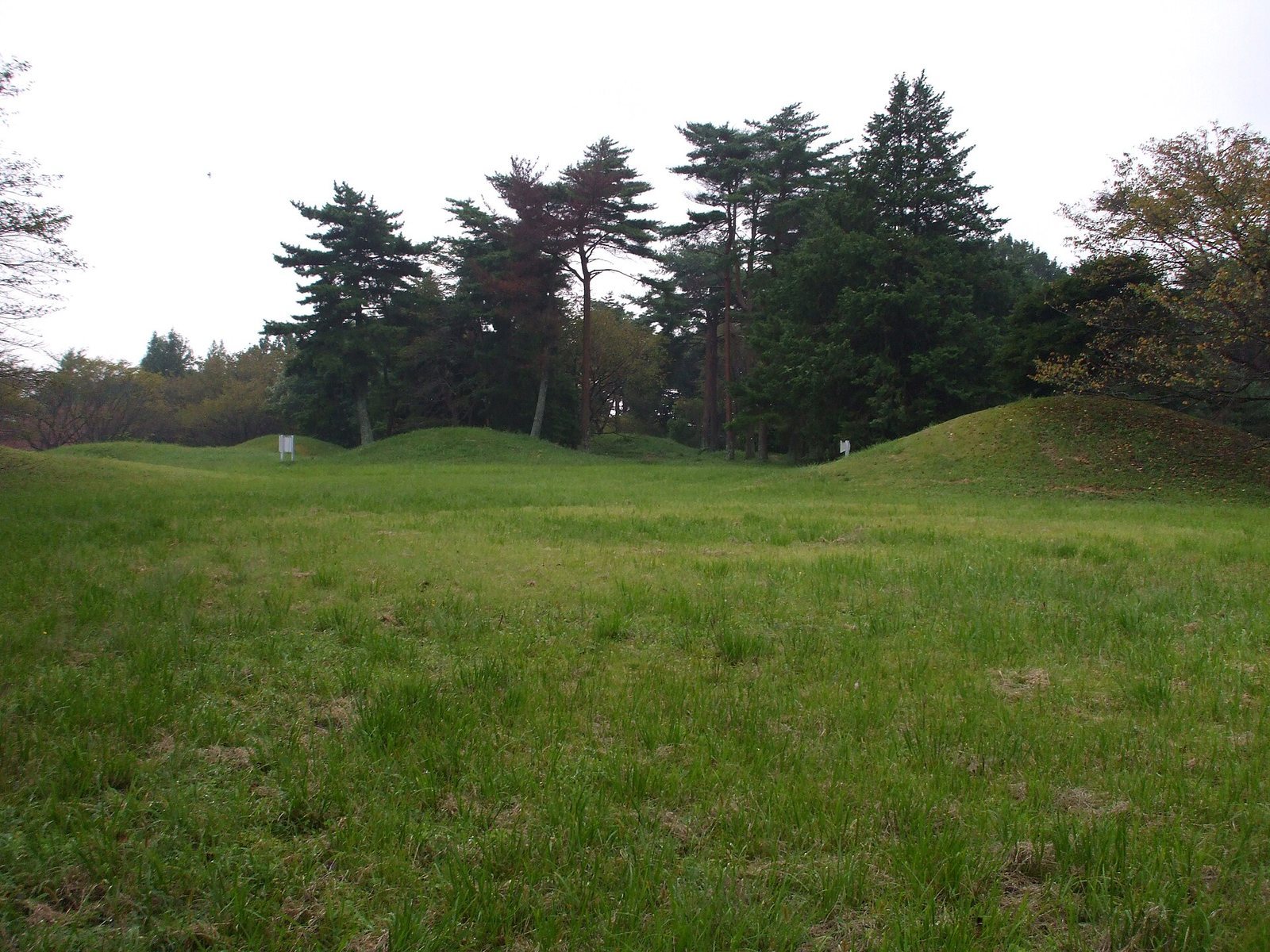
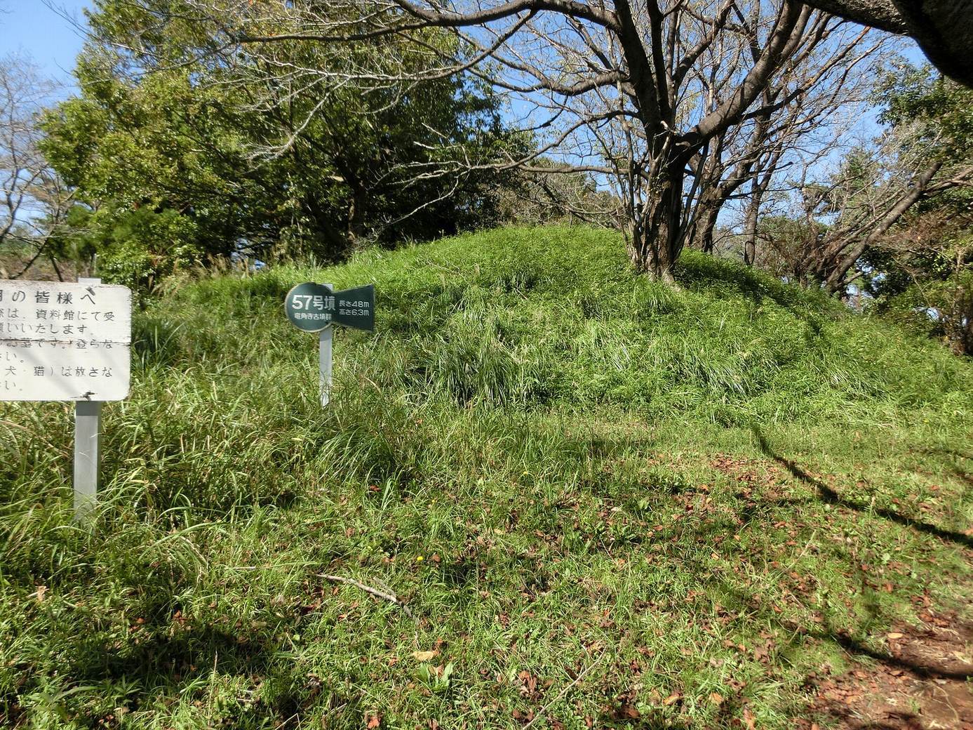
There are 114 currently identified mounds: 37 keyhole-shaped, six square, and 71 round. A keyhole-shaped tomb has a rounded rear joined to a projecting rectangular front. Some mounds classed as keyhole-shaped have the short front projection of a scallop-shaped form, while erosion or alteration may affect how other shapes are classified. Rises along the eastern approach to Ryūkakuji Temple are thought to include medieval or early modern mounds, complicating the count. Many keyhole-shaped tombs are 20–30 metres long, while round ones commonly measure 10–20 metres in diameter. Haniwa, clay objects placed on or around burial mounds, have been found at 16 mounds; most are of the regionally distinctive Shimōsa type. Many mounds are comparatively well preserved, and more than 70 percent lie on prefectural land.
Excavated mounds and burial chambers
No. 101
No. 101, the oldest identified mound, is a round tomb about 25 metres in diameter, surrounded by two ditches, each roughly three metres wide. Excavation found five burial installations. Eight skeletons came from the third installation, positioned on the side of the mound. Finds included Haji ware and harder, high-fired Sue ware pottery, gilt-bronze earrings, tubular beads, a straight sword, iron horse fittings, arrowheads, and an iron sickle. The mound and its haniwa group were reconstructed in 1992.
No. 24
No. 24 is a keyhole-shaped mound about 27 metres long. Burial installations were found at its summit and near the junction of its front and rear sections. The lower installation included a box-shaped stone coffin made from schist brought from near Mount Tsukuba. Finds included Sue ware, a sword, iron arrowheads, a small knife, earrings, and cut beads. Schist from the Mount Tsukuba area also occurs at No. 53, which is thought to predate Sengenyama. The stone was likely transported by water, pointing to connections beyond the immediate area.
No. 104
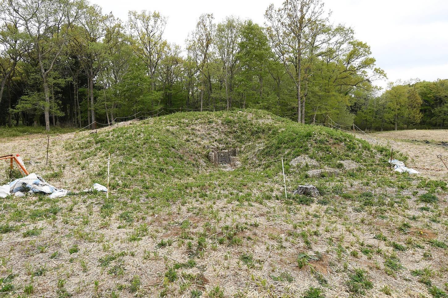
No. 104, immediately west of Iwaya, is a square mound about 30 metres on each side. Its horizontal stone burial chamber, entered from the side, was built from sandstone of the Kinoshita Formation, which contains fossil shells. Excavation recovered a straight sword, fittings, and human bones.
No. 105, Iwaya Kofun
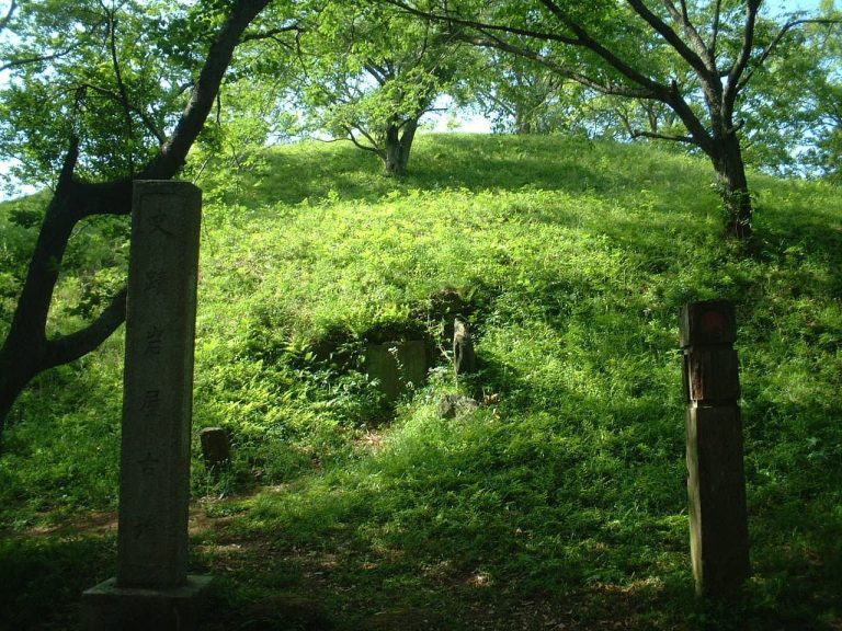
Iwaya is a square mound about 78 metres on each side and 13 metres high, built in three tiers. It is the largest mound in the cluster and the second-largest square tomb in Japan. Two horizontal stone burial chambers made from fossil-shell-bearing sandstone lie within it. A double moat encloses an area about 108 metres east to west by 96 metres north to south. The chambers’ entrance has been open since the Edo period.
No. 106, Miso Iwaya Kofun
North of Iwaya, Miso Iwaya is a square mound measuring about 35 by 30 metres and standing 5.5 metres high. A moat surrounds it. Its horizontal chamber is made from cut blocks of fossil-shell-bearing sandstone, arranged in alternating courses.
Sengenyama Kofun
Excavations at Sengenyama recovered gilded and silver crown-like objects. Schist was used in its stone chamber and coffin, and part of the mound was built with rammed earth, formed by compacting layers of soil. A lacquered wooden coffin is considered possible. These materials and methods have been interpreted as evidence of advanced construction and close connections with the Kinai region.
No. 108
No. 108 was a square mound about 16 metres on each side, surrounded by a moat roughly 2.5 metres wide. Its small horizontal chamber used both schist and fossil-shell-bearing sandstone. Excavation recovered a sword, iron arrowheads, and Sue ware. The mound was later destroyed during road construction.
No. 112
In the northwestern part of the cemetery, No. 112 was a scallop-shaped keyhole mound 26.5 metres long. Excavations in 1982 and 1992 found schist blocks at the junction of its front and rear sections, thought to indicate a burial installation. Finds included iron arrowheads, a small knife, and many figurative and cylindrical haniwa, including examples close to the Shimōsa type. The mound has since been destroyed.
Nos. 2, 7, and 75
Nos. 2 and 75 were keyhole-shaped mounds investigated during development, and the excavated locations were subsequently lost. No. 7 was also identified as a keyhole-shaped mound; part of its ditch was excavated.
Nos. 109 and 110
Nos. 109 and 110 are round mounds. Excavation at No. 109 recovered a box-shaped stone coffin and a straight sword. At No. 110, excavators found a box-shaped stone coffin and pottery fragments.
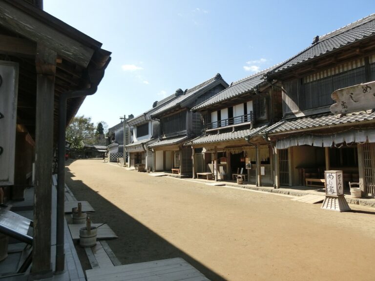
Some mounds were lost to housing development and road construction, while most of the cluster remains comparatively well preserved, in part because many mounds lie within Boso no Mura. Finds recovered from the cemetery are exhibited at the Chiba Prefectural Boso Mura Fudoki no Oka Museum.