Mayuyama Kofun: A Fourth-Century Keyhole-Shaped Burial Mound
Site at a Glance
- Popularity
- Medium
- Country
- Japan
- Primary era
- Classical
- Eras represented
- Classical
- Civilizations
- Yamato
- Site type
- Burial
- Remains
- Burial Mound
On this page10 sections
History
Construction and regional setting
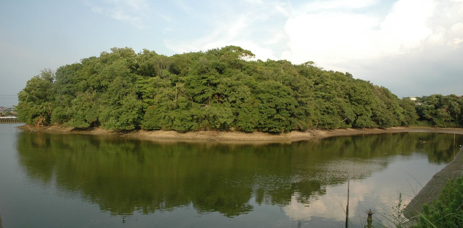
Mayuyama Kofun is a keyhole-shaped burial mound in Japan’s Izumi region, built in the latter half of the fourth century, perhaps toward the century’s end. The Kofun period, an era of early Japanese history named for its large burial mounds, takes its name from structures such as this. A keyhole-shaped mound has a circular rear joined to a squarer front. Mayuyama is among the earliest examples of this form in Izumi and one of the largest early kofun in Kinai, the central region around Japan’s ancient imperial capitals.
Mayuyama’s shape resembles Saki Misasagi Kofun in Nara. The distribution of similarly shaped mounds across Kinai has been interpreted as evidence for a system of territorial control centered on that region when the mounds were built.
Investigation and protection
Archaeologist Umehara Sueji measured the mound in 1932. Japan designated Mayuyama a National Historic Site, a national heritage-protection status, on May 15, 1956. In 1958, repairs to the bank of the pond opposite Mayuyama’s front portion substantially reduced nearby Makozuka Kofun. The work yielded a mirror with a slanting rim, decorated with two deities and two animals, 15 tubular beads, and cylindrical haniwa, clay objects placed on or around burial mounds.
Work carried out in 1997 and 1998 during prefectural road construction examined the outer embankment of Mayuyama’s moat; survey results were reported in 2005. The protected area was expanded on August 5, 2010.
Remains
The mound stands on a hill overlooking the Ushitaki River, which flows from the Izumi Mountains. It occupies the northwestern end of a ridge extending from the south-southeast, whose end was cut across to make room for construction. The mound is about 200 metres long, with a circular rear portion roughly 130 metres across and a less developed front pointing northwest. It is listed as Japan’s 36th-largest kofun, and a moat encloses it.
Mound fabric and surrounding moat
Surface and burial evidence
Stone facing covered the mound’s surface, which was lined with haniwa. These include cylindrical forms, pieces shaped like implements, cylindrical examples with fin-like decoration, and morning-glory-shaped forms. Platforms are thought to have extended from both sides of the junction between the front and rear portions.
The burial chamber’s form is interpreted from a depression at the centre of the rear portion, which may be a robbers’ pit, and scattered green schist. Together, these features support the possibility of a vertical-pit stone chamber, a burial room built in a shaft-like pit. A pedestal bowl of Haji ware, a type of ancient Japanese pottery, came from the mound summit.
Moat
The moat beside the front portion is horseshoe-shaped and about 36 metres wide; part of the surrounding moat has since become part of a reservoir. An earthen crossing near the junction of the two mound sections is thought to date from the mound’s construction. Traces also occur around the circular rear portion, though their relationship to the original construction is uncertain.
Nearby mounds and finds
Makozuka Kofun
Makozuka, regarded as a probable satellite mound to the south, is square, about 35 metres on each side, and built in two tiers. It is now severely reduced. Cylindrical haniwa are thought to have stood around its exterior, and its burial facility is interpreted as a clay-enclosed chamber, where the interment was surrounded by clay.
Inariyama and the Awaji Shrine precinct
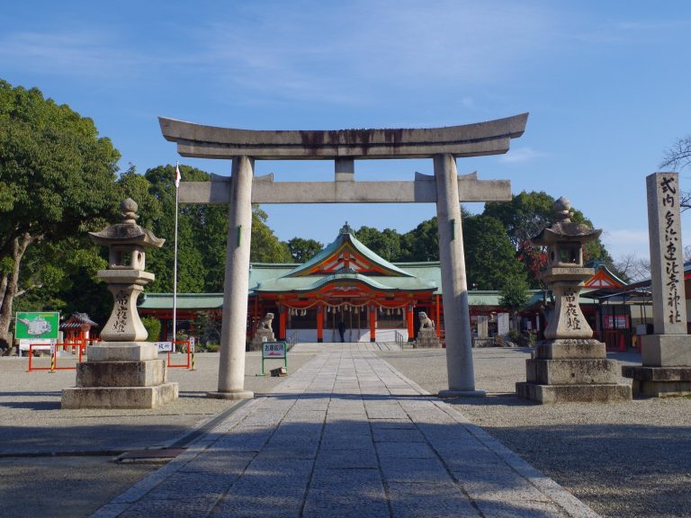
Inariyama Kofun lies north of Mayuyama and survives; it is also regarded as a probable satellite mound. Cylindrical haniwa found at the Awaji Shrine precinct to the northeast have prompted the suggestion that a kofun once stood there.