Fort de Loyasse: A Nineteenth-Century Defensive Fort in Lyon
Site at a Glance
- Popularity
- Medium
- Country
- France
- Primary era
- Modern
- Eras represented
- Modern
- Civilizations
- French
- Site type
- Military
- Remains
- Fort
On this page6 sections
History
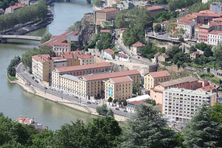
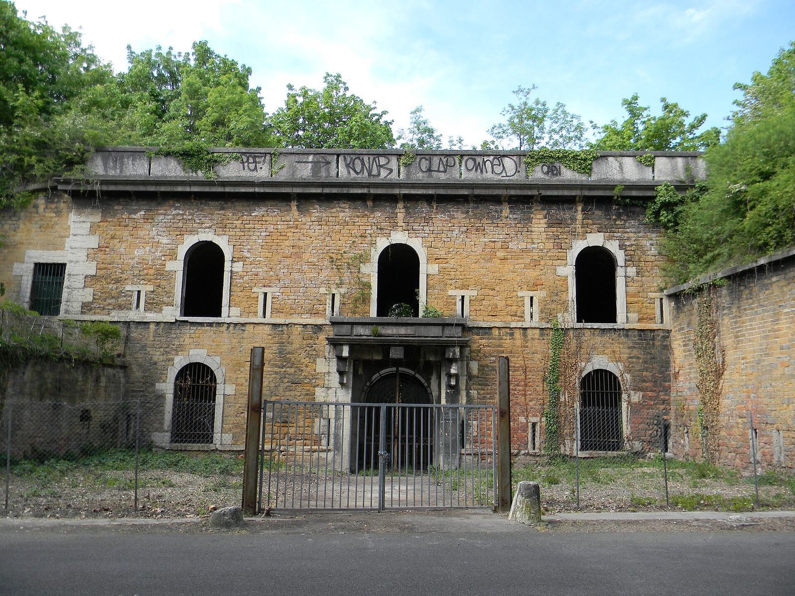
Fort de Loyasse is a French military fortification in Lyon, France, built from 1836 to 1840 as a mountain fort within the city’s first belt of forts. It was intended to defend Lyon against an attack from the east. Built after the July Revolution, the French revolution of 1830, it reflected fears of an Austrian invasion. Along with Fort de Vaise, it occupied the line of the Py, an earlier fortified perimeter around Lyon.
Construction and changing artillery
The fort’s design belonged to a generation of defenses whose effectiveness declined as artillery improved. In 1858, rifled cannon, with grooves inside their barrels, replaced smoothbore guns, whose barrels were unrifled. The change increased projectile range to 2,500 metres. In 1885, melinite, an explosive used in some military applications, replaced gunpowder and increased the force of blasts.
Wartime use and municipal reuse
During the First World War, the fort housed prisoners of war. German forces occupied it during the Second World War. The military decommissioned Fort de Loyasse on 15 October 1947, and Lyon acquired its grounds at auction in 1949. The ditches were used for road-maintenance storage, the glacis became allotment gardens, and the underground galleries briefly housed a mushroom farm.
In 1961, part of the ditches was used to build a boulevard connecting the Observance district with Vaise. A barracks was demolished during the 1960s to widen Montée de l’Observance. The site is now a municipal road-maintenance depot, while the allotment gardens remain in use.
Remains
Platforms and defensive layout
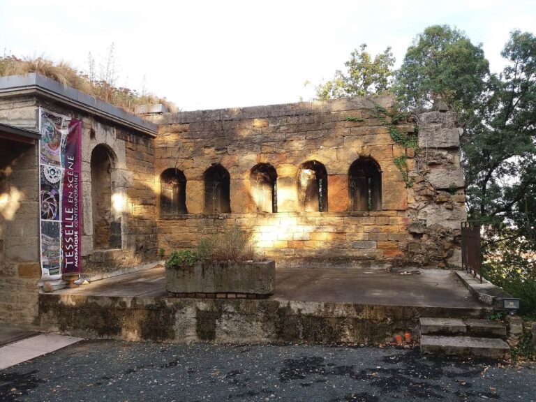
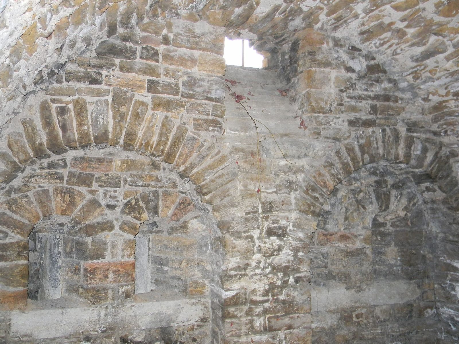
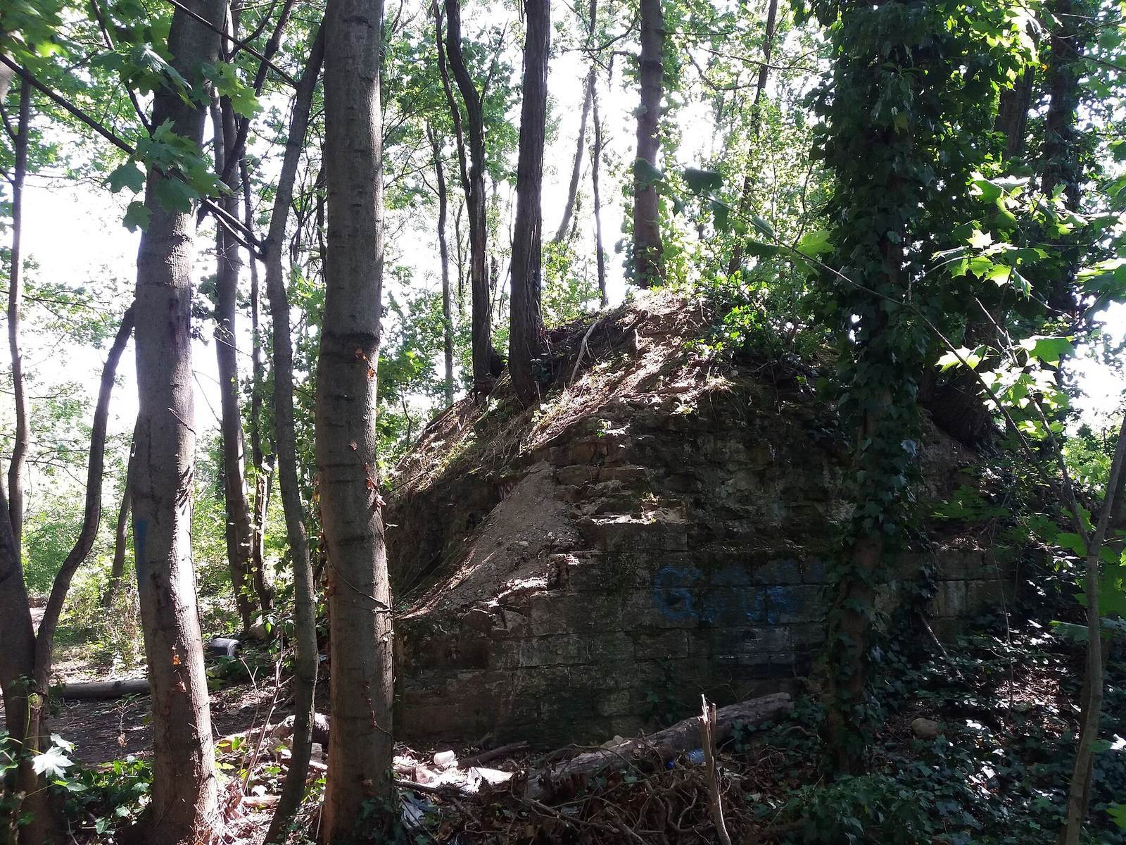
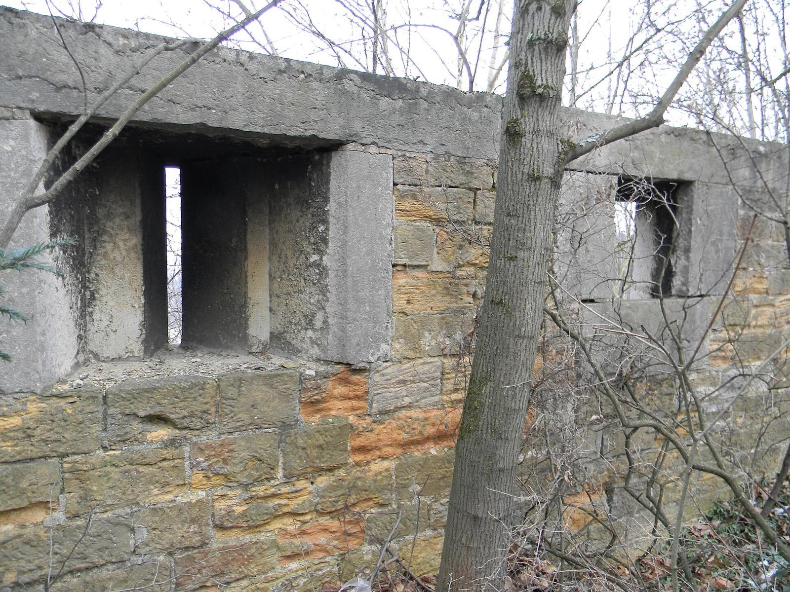
Loyasse’s steeply sloping glacis, an open defensive surface outside a fort, suited its design as a mountain fort. Its plan followed the slope across two platforms, one above the other. The lower level had a defensive front with three bastions, projecting sections of the fort’s defenses. The upper level had two more bastions and a cavalier, a raised position within the fort for artillery. Between the platforms were two barracks, storerooms, wells, latrines, and a gunpowder magazine, a storage space for gunpowder.
Entrance and artillery features
The entrance bears the engraved number 389. The Loyasse Sites Association argues that it is not a height in feet and may instead indicate a downward measurement from a reference elevation of 660 metres, possibly connected with Fort Mont-Verdun, which stands at 625 metres. The association also points to similar inscriptions at other forts which, considered alongside elevations listed by France’s national geographic institute, yield a total of 660 metres.
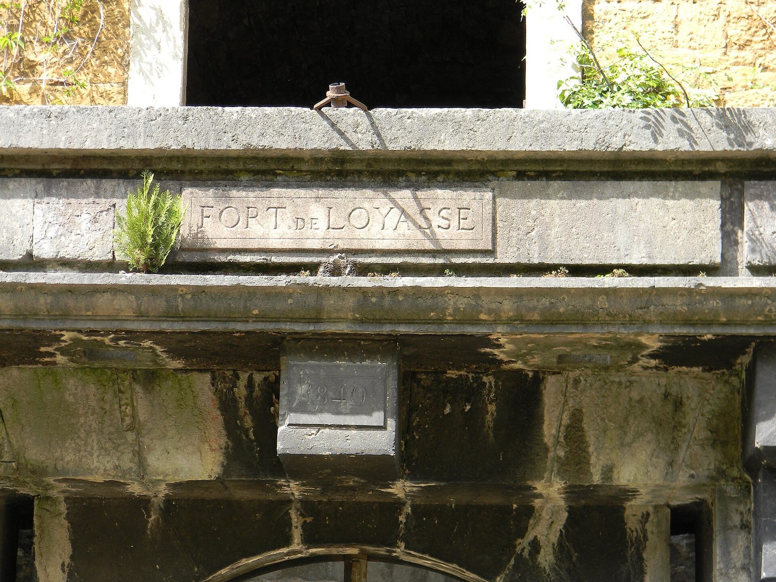
At Fort Saint-Irénée, the number 380 appears beside a horizontal line about one metre above ground level. It has been interpreted as a height in feet calculated from a reference near the Saône quay by Pont Bonaparte. Saint-Irénée stands at 280 metres and Loyasse at 271 metres, so that interpretation does not account for the 389 inscription at Loyasse. Other recorded features include a pediment, a plaque marking the completion year, and a staircase with ramps for hauling artillery. The fort’s smoothbore guns had an effective range of 1,200 metres.