Harliburg: A Medieval Imperial Castle in Germany
Site at a Glance
- Popularity
- Medium
- Country
- Germany
- Primary era
- Medieval
- Eras represented
- Medieval
- Civilizations
- Holy Roman Empire
- Site type
- Military
- Remains
- Castle
On this page12 sections
History
Imperial foundation and Welf control
Harliburg was a medieval castle on Harlyberg in Germany, built by King Otto IV around 1203 as an imperial castle, a stronghold held in the German king’s name. Its construction grew out of the struggle for the German throne between Otto, a Welf, and Philip of Swabia, a Hohenstaufen rival. The Welfs and Hohenstaufens were competing ruling houses. Goslar supported Philip, and Otto’s castle was intended to guard routes leading to the city from the north.
After Philip was murdered in 1208, Otto stayed at Harliburg frequently. In his testament of 1218, he arranged payments to woodland and landowners whose rights had been disregarded during construction. Once compensation was paid in 1220, the castle ceased to be held as an imperial stronghold and passed into Welf ownership. A member of the von Harlingeberg family served as the castle’s delegated official in 1219, an office with administrative or judicial authority. By the end of the thirteenth century at the latest, the family held both the castle and its hill.
Siege and destruction
Harliburg passed by inheritance to Duke Henry the Admirable in 1279. A Welf duke of Brunswick-Grubenhagen, Henry used it as a base for raids in the surrounding region. At the Diet of Erfurt in 1290, an assembly of the Holy Roman Empire’s political estates, the Bishop of Hildesheim accused him of breaking the public peace established in 1284. The peace aimed to restrain private violence and feuding; Henry was accused of allowing the castle garrison to engage in highway robbery.
The dispute led to the Herlingsberg War. In 1291, bishops and territorial lords from the region joined the imperial cities of Goslar, Brunswick, and Magdeburg in a four-month siege. Harliburg’s garrison surrendered. A court then ordered the castle slighted, meaning deliberately damaged so it could no longer function effectively as a stronghold. It was not rebuilt.
A later chronicle tradition of disputed reliability claimed that Harliburg’s stones were reused at Wiedelah Castle between 1292 and 1297 and at Vienenburg Castle in 1300. In the thirteenth century, Heinrich Rosla of Nienburg composed the Latin epic Herlingsberga about the castle’s destruction.
Remains
Castle layout and defenses
Core and southeastern approach
The castle earthworks occupy a projecting summit on the southeastern part of Harlyberg, at about 193 m above sea level. The former grounds cover approximately 200 by 400 m, with the core on the highest part of the hilltop measuring about 150 by 50 m. The Oker runs below the steep southern and southeastern slopes, curving around the hill’s southeastern end. Lake Vienenburg lies about 500 m southwest, while Harlyberg’s highest point, at 255.9 m, is about 2 km to the west-northwest.
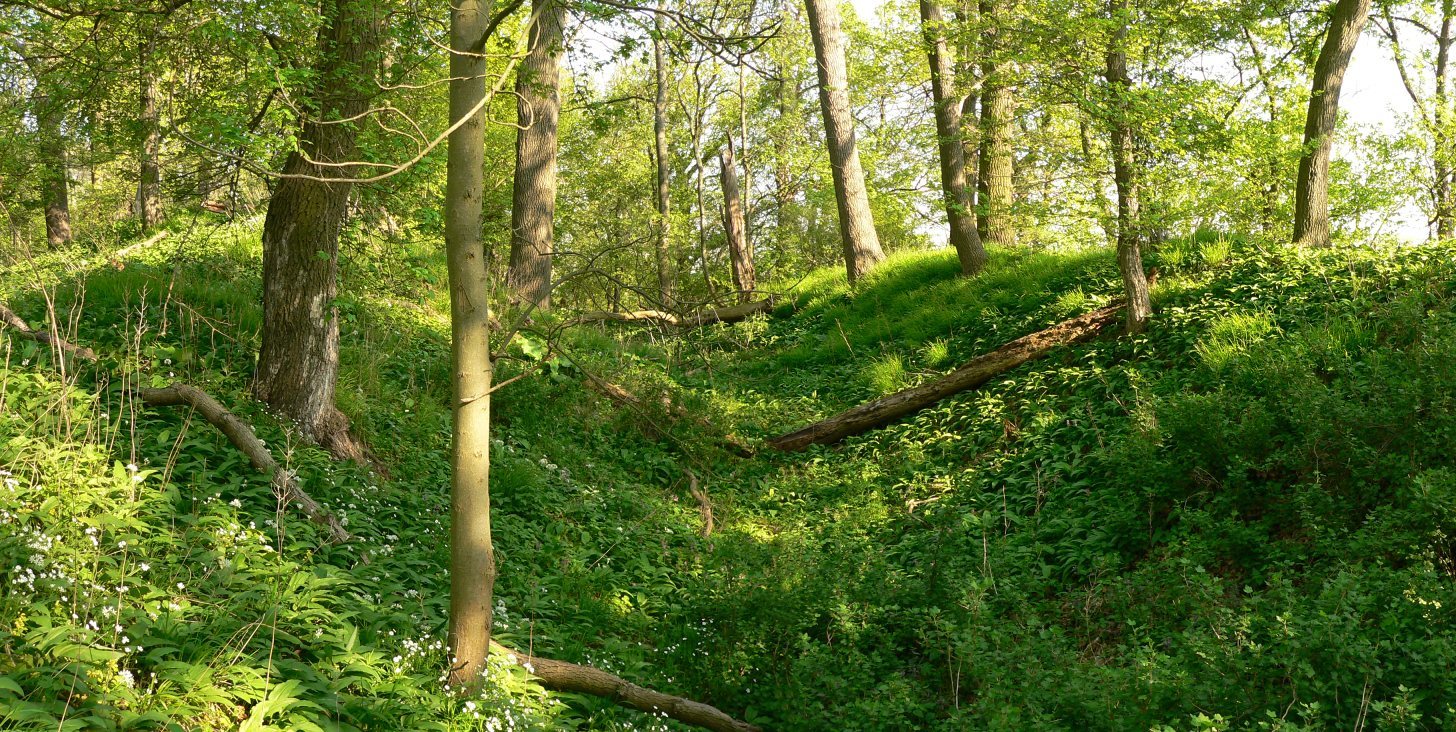
The approach was from the southeast, across the southern main ditch. Ground features in this area may indicate a recessed gate passage or overlapping defensive lines. A deep ditch borders the core to the north, west, and east, with an outer rampart along parts of it. North of the core, the ditch is 16–18 m wide and its bottom lies about 12 m below the plateau.
Outer wards
The first outer ward lies north of, and below, the core, separated from it by a ditch. About 50 m wide, it was protected on its outer side by the main rampart. A further ditch and rampart enclosed both this ward and the core. The main rampart is about 3 m high; its ditches measure 12–15 m across and 7–9 m deep.
A second, lower ward extends northwest, north, and east. Its bank-and-ditch defenses follow the line of the first ward’s fortifications, curving from their western corner toward the southeastern corner of the castle. On the east, the steep slope is defended by a terrace with a sharply descending outer face. A projection of ground and a surviving ditch fragment in the northeast may mark another gate and an outer defensive enclosure. The second ward’s ditches are about 1.5–2 m deep and its ramparts about 1.5 m high.
Building remains
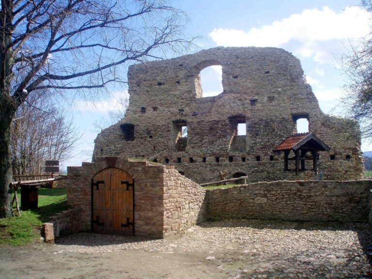
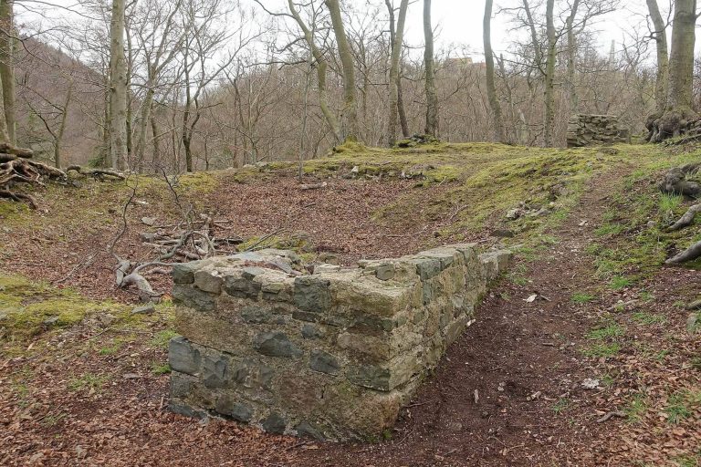
Rubble beside the eastern ditch marks the location of a round tower about 16 m in diameter. South of it, and elsewhere within the grounds, house platforms and other traces of buildings remain. The site is now wooded and uneven, with ramparts, ditches, and other ruined earthworks.
Siege earthworks
Command earthwork
The Goslar Chronicle describes five works constructed by the besiegers in 1291. About 300 m northeast of the castle, a square earthwork measuring 20 by 20 m has a rampart, a ditch with an outer rampart, and a raised square platform that may have supported a tower. The earthwork is regarded as the siege’s command center.
Northern siege works
About 200 m northeast of the castle, a closed ring rampart occupies a hilltop and measures approximately 30 by 60 m. Another rampart, about 100 m north of the castle, extends for 200 m along a line between the ring rampart and the square earthwork.
Earthwork on the northeastern spur
About 500 m northeast of the castle, an angled earthwork follows a descending spur. Its rampart is 65 m long, bends twice, and is accompanied by an outer ditch.