Kuninkaanhauta: A Bronze Age Burial Cairn in Finland
Site at a Glance
- Popularity
- Medium
- Country
- Finland
- Primary era
- Bronze Age
- Eras represented
- Bronze Age
- Civilizations
- Unclassified
- Site type
- Burial
- Remains
- Burial Mound
On this page6 sections
History
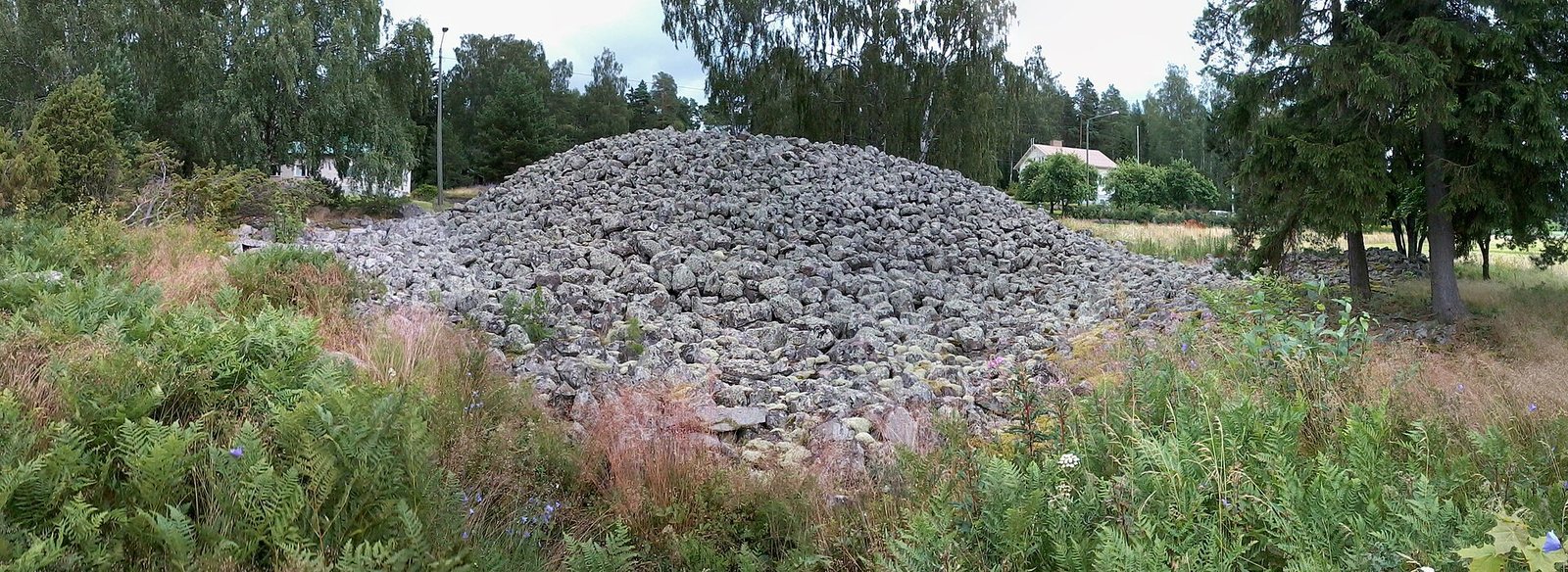
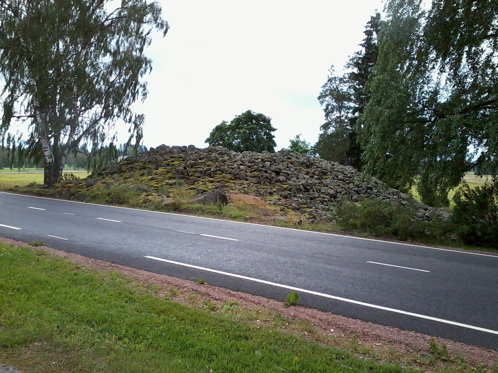
Kuninkaanhauta is a Bronze Age burial cairn in Panelia, in Eura, Finland. Its date is estimated at about 1500–1300 BC, during the prehistoric era named for the widespread use of bronze, although a later date is possible. It is the largest burial cairn in Finland and among the largest in the Nordic countries.
Bronze Age landscape
The cairn may have been enlarged in several stages rather than raised all at once. Its great volume makes that a plausible interpretation, since collecting and moving the stones would have required substantial effort. It may have covered more than one burial made over time, but that possibility remains uncertain. Its form and elevated position have also been interpreted as signs of construction during the first half of the Bronze Age.
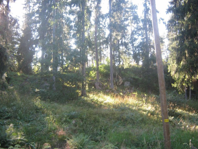
When the mound was built, it stood beside the Bay of Panelia, with the coast close by and the Eurajoki River flowing into the bay nearby. Over time, the land rose after the retreat of ice sheets, shifting the coastline almost 20 kilometres west. Around 120 smaller Bronze Age cairns are known from the former bay area. They follow its margins, often on gentle slopes near the shore. Grassy coastal ground supported livestock, while small-scale farming and fishing formed part of life in the sheltered bays.
Excavations in 1987–88 across the road from the cairn revealed a settlement close by. It may have been occupied during the same period as the burial mound.
Folklore and local interpretations
Finnish folklore associated cairns of this kind with hiisi, beings believed to have built them. Other traditional beliefs linked such mounds with the burials of powerful people. The name Kuninkaanhauta means “King’s Grave,” and local legend identifies the cairn as the resting place of an ancient king or local ruler.
Remains
The cairn
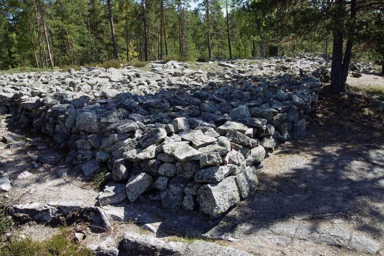
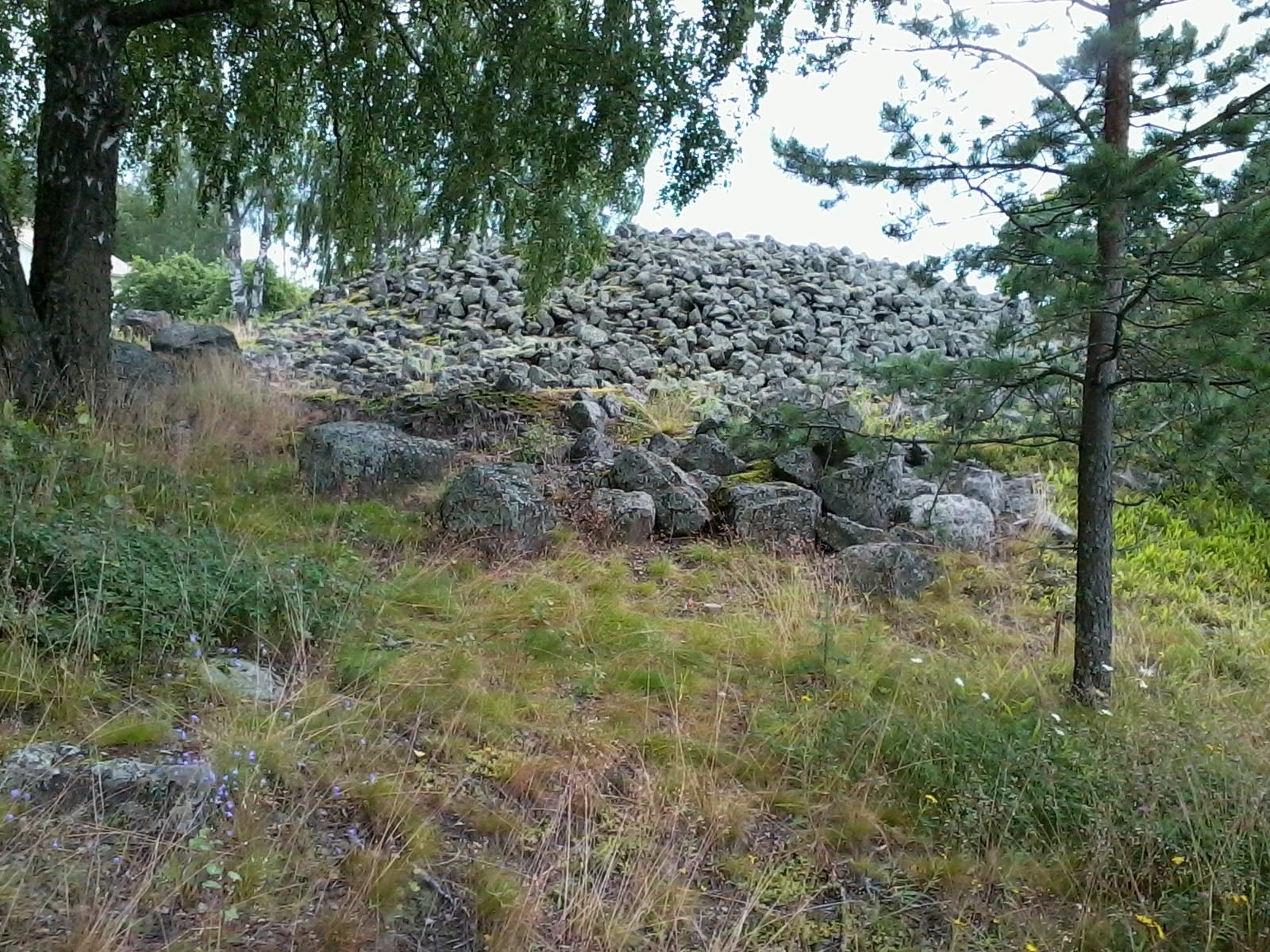
The mound measures 36 by 30 metres and stands 3–4 metres high, at about 27.5 metres above sea level. Its estimated volume exceeds 2,000 cubic metres. One estimate compares this with roughly 250,000 stones about 20 centimetres in diameter. On the western side, a skirt of stones extends along the ground for several metres, with stones later gathered from fields piled above it. A hollow marks the summit. Local tradition holds that the mound was once several metres taller and has been dug into repeatedly. The hollow’s cause is uncertain; some local explanations also connect apparent settling with traffic vibration or the possible collapse of small chambers built from stone slabs. Management includes mowing the grass and limiting tree growth.
Settlement across the road
The nearby settlement contained pit hearths used for cooking, with stone arrangements around them associated with hut or tent structures. Finds included pottery fragments and pieces of stone objects. Radiocarbon dating, which estimates age from organic material, places charcoal from one hearth in the early Bronze Age; the pottery has also been assigned to the late Bronze Age.