Tap o’ Noth: A Hillfort and Pictish Settlement in Scotland
Site at a Glance
- Popularity
- High
- Country
- United Kingdom
- Primary era
- Medieval
- Eras represented
- Bronze Age, Classical, Medieval
- Civilizations
- Unclassified
- Site type
- Military
- Remains
- Fortified Town
On this page8 sections
History
Early summit fort
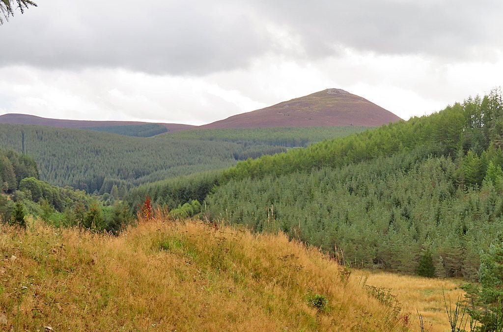
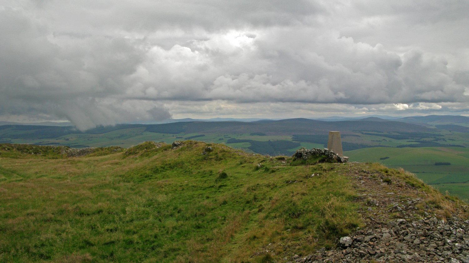
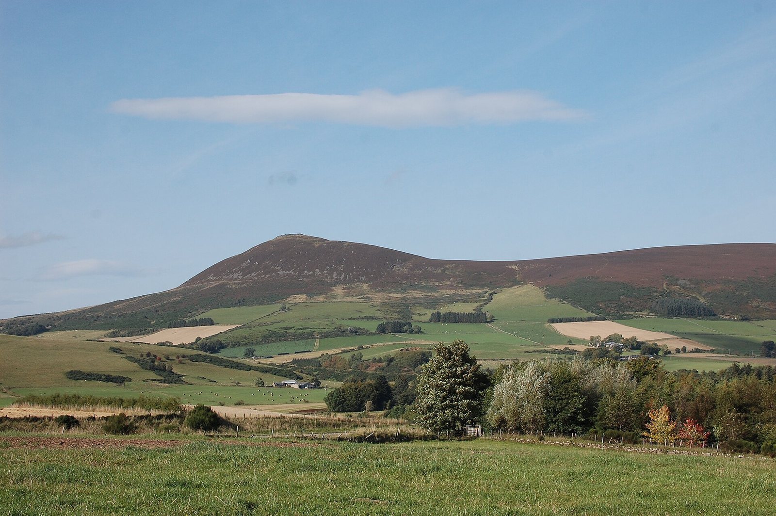
Tap o’ Noth is a hillfort, a fortified settlement on high ground, at the summit of the Hill of Noth near Rhynie in Aberdeenshire, Scotland, United Kingdom. The summit fort’s inner wall was destroyed by fire. Dating of stone fused by the intense heat places the burning around the beginning of the second millennium BC.
Pictish settlement
A substantial settlement developed within the outer rampart. It may have begun as early as the third century AD, while the rampart itself was built in the fifth or sixth century. The settlement is associated with Pictish culture, linked to the Picts, peoples of northern and eastern Scotland in late antiquity and the early medieval period. The fort has been interpreted as a dwelling place for a large Pictish tribal group or kingdom during a warm, dry climate. The settlement has also been described as the largest known in early medieval, post-Roman Britain.
A post-Roman settlement in the nearby valley at Rhynie yielded evidence of Mediterranean wine consumption, glass vessels from western France and intensive metalworking. These finds have been interpreted as signs of high status, possibly involving royal connections. The decline of the settlement at Tap o’ Noth, alongside that of the high-status centre at Rhynie, may have been linked to a subsistence crisis associated with the Late Antique Little Ice Age, a cooler period in late antiquity, and plague epidemics in the mid-sixth century.
Excavation and protection
James Macdonald, an antiquarian and scholar of ancient remains, led excavations of the summit fort in the 1880s. Tap o’ Noth has been protected as a scheduled monument, a site legally designated for its archaeological or historic importance, since 18 August 1882. From 2017 to 2022, the University of Aberdeen’s Northern Picts: Rhynie Environs Project investigated the summit fort, outer rampart and some house platforms.
Remains
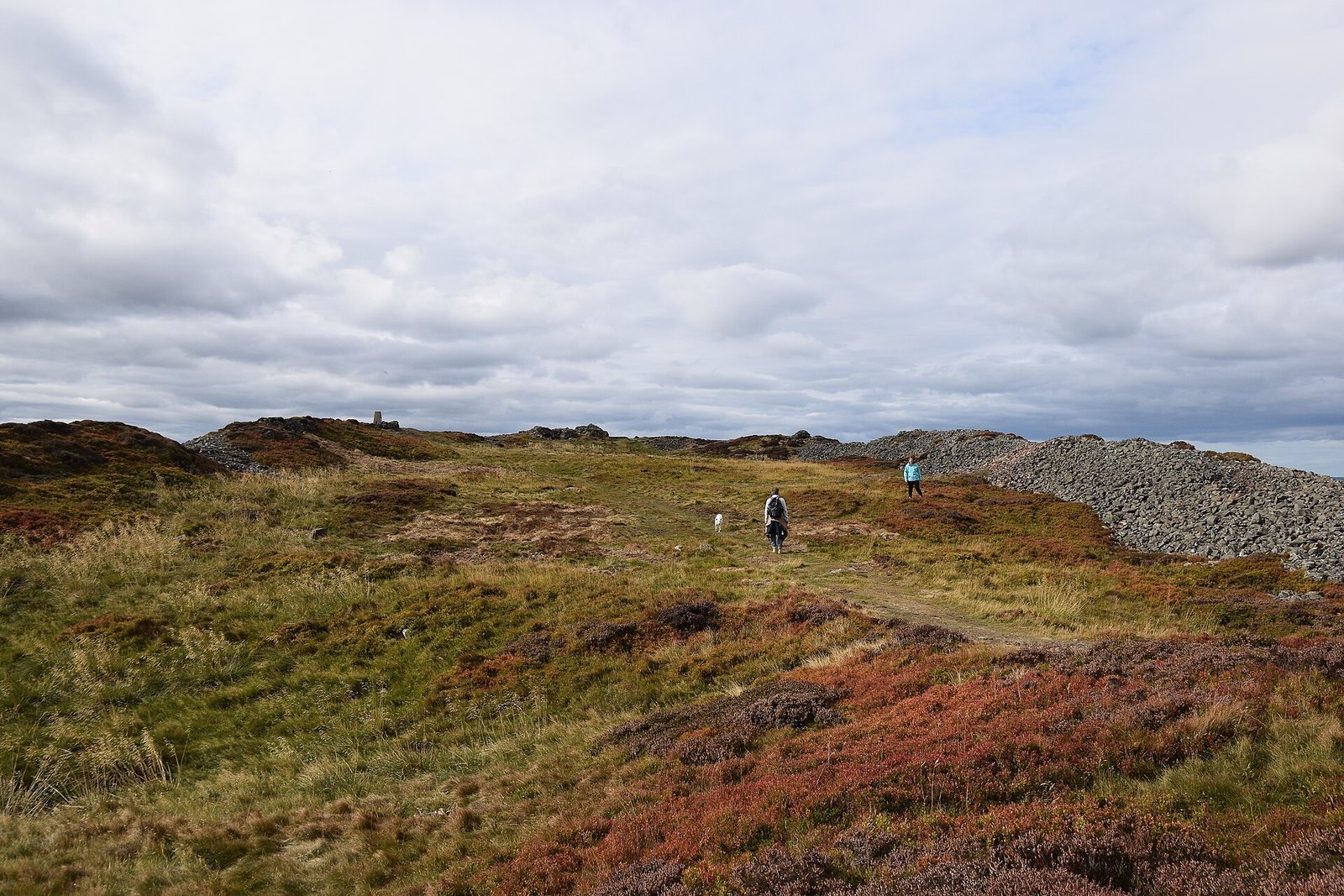
The fort stands on a 563 m hill and is described as Scotland’s second-highest fort. Its layout combines a roughly rectangular summit enclosure with a much larger outer rampart enclosing a settlement area. The inner fortification was built using a timber framework within a massive stone wall.
Summit enclosure
The inner enclosure forms a roughly rectangular area about 100 m long and 30 m wide. Excavations in the late nineteenth century recorded a wall about 8 m thick, which then survived to a height of up to 3.5 m. A large cistern lay at the southern end of the enclosure.
Outer rampart and settlement
More than 100 house plans lie within the outer enclosure. Drone photography and lidar surveys suggest that the settlement may have contained as many as 800 huts, often arranged in groups around a larger hut.
Finds
Finds from the site include a stone axe head dated to about 2000–800 BC and a decorated bronze rein ring dated to the first through third centuries AD.