Dun Aengus: A Prehistoric Stone Fort on Inishmore
Site at a Glance
- Popularity
- Very High
- Country
- Ireland
- Primary era
- Bronze Age
- Eras represented
- Bronze Age, Iron Age, Medieval
- Civilizations
- Unclassified
- Site type
- Military
- Remains
- Fort
On this page9 sections
History
Bronze Age beginnings
Dun Aengus is a prehistoric stone fort on Inishmore in Ireland’s Aran Islands. Signs of habitation at the site date to about 1500 BC, while the earliest stone-building phase began around 1100 BC. The precise construction date remains uncertain. Bronze-casting moulds and further evidence of habitation date to about 900 BC.
Iron Age and later development
The fort grew through the Bronze and Iron Ages, with further extensions in the early medieval period. Around 500 BC, builders probably added three lines of defensive walls along its western side. The historian T. F. O’Rahilly proposed a different construction date, placing the fort in the second century BC and attributing it to the Fir Bolg after the Lagins, an early people of Ireland, conquered Connacht. This is a historical interpretation, not a confirmed date.
Tradition and proposed uses
Dun Aengus is traditionally linked to the Fir Bolg, a people from Irish legend. Its name means “Fort of Aonghas” and may refer either to Aonghas, a deity in Irish mythology, or to the legendary king Aonghus mac Úmhór.
The strong defenses suggest a military purpose, though religious or ceremonial uses have also been proposed. One interpretation is that seasonal rites involved fires visible from the Irish coast. The fort’s position may also have allowed people to watch a substantial coastal trade route; these functions remain possibilities rather than established facts. The Aran Islands have seven stone forts, including Dun Aengus. It is protected as a National Monument, Ireland’s legal designation for sites of archaeological or historical importance.
Remains
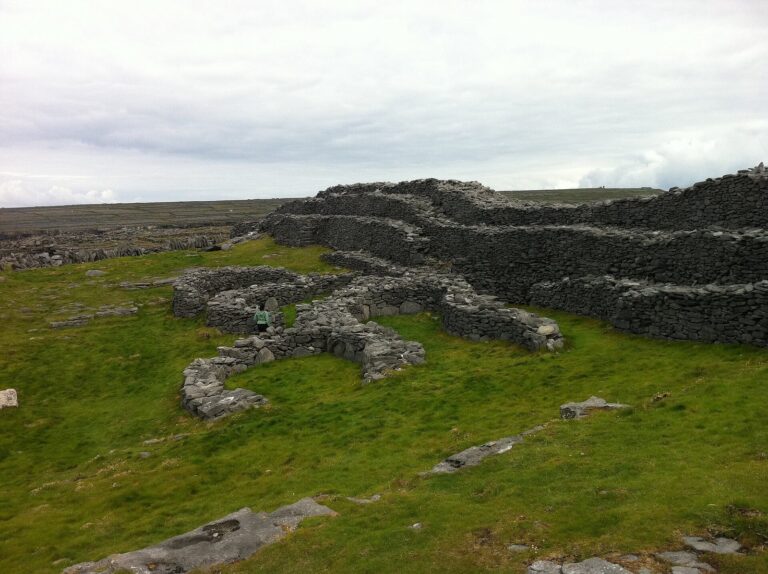
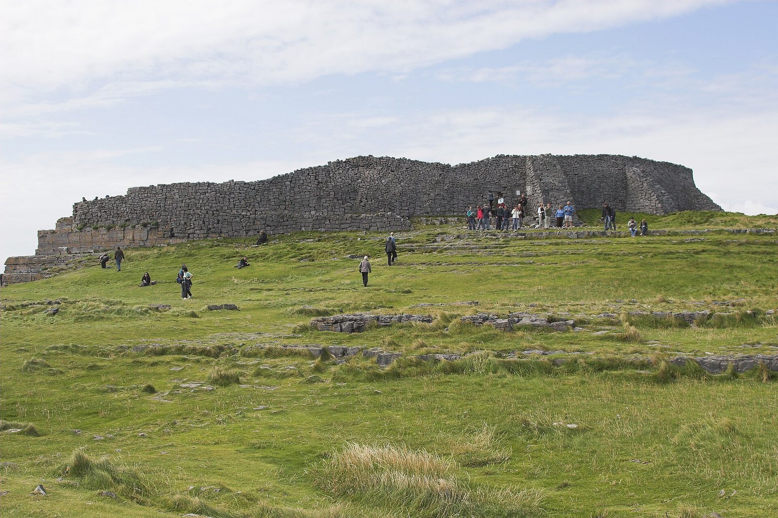
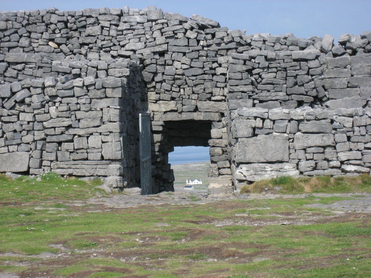
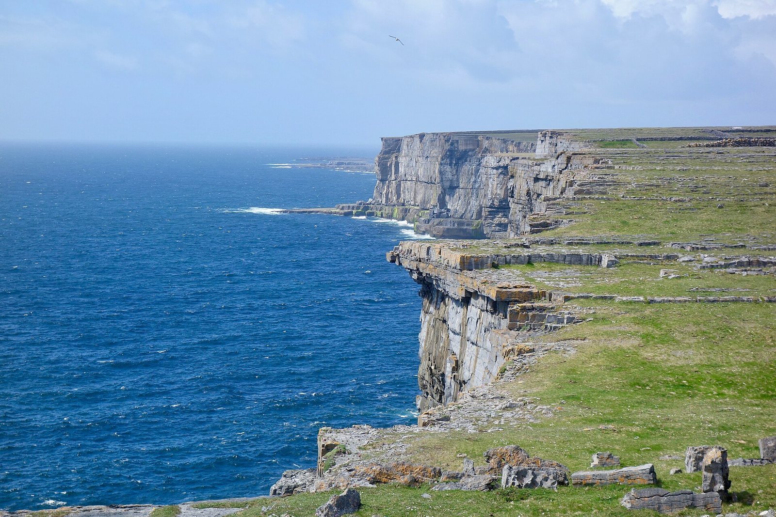
Dun Aengus stands at one of Inishmore’s highest points beside a limestone cliff around 90 to 100 metres high. Its enclosure is made of limestone stones laid without mortar. Four rings of defensive walling shape the site, whose walls survive in varying condition.
Concentric walls and enclosure
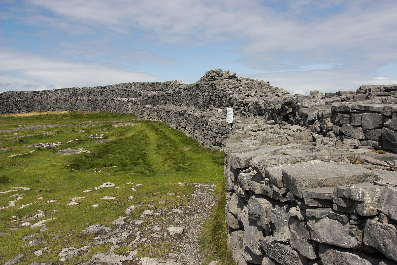
The outer wall encloses about six hectares, while the area within the innermost wall is about four hectares. At the heart of the fort is a semicircular core approximately 45 metres across. The innermost wall measures about 5.2 metres across at its base and rises more than six metres in places. Other surviving masonry is about four metres high and reaches around four metres in width at some points.
The original enclosure was formed by piling rubble against large upright stones. Its outline may have been oval or D-shaped, but erosion and sections that collapsed into the sea have made its former extent uncertain. Sea levels were lower when the fort was built, and its original distance from the shore has been estimated at about one kilometre.
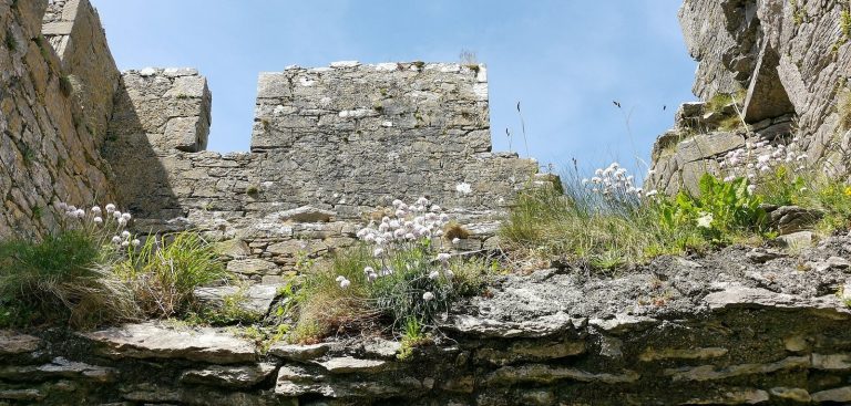
Restoration has raised sections of the walls to about six metres, incorporating passages along their tops, chambers, and stairways. Mortar in the restored masonry distinguishes it from the original stonework.
Outer defenses and interior features
Pointed-stone barrier
Sections of a defensive barrier lie outside the third wall. It consists of numerous pointed limestone stones set upright or leaning outward in natural fissures. Some stretches remain well preserved. The projecting stones were intended to hinder attackers, particularly cavalry.
Central features and finds
A large rectangular stone slab or platform stands at the centre of the semicircular core, though its purpose is unknown. Timber buildings also stood within the later fort. In 1839, a bird-headed brooch of early Iron Age type was found in one of the walls.