Kalnelis Hillfort: A Fortified Site in Lithuania
Site at a Glance
- Popularity
- Very Low
- Country
- Lithuania
- Primary era
- Medieval
- Eras represented
- Classical, Medieval, Early Modern
- Civilizations
- Grand Duchy of Lithuania
- Site type
- Military
- Remains
- Fort
On this page8 sections
History
Kalnelis hillfort is a fortified site on raised ground at the northern edge of Kalnelis village in Lithuania. Archaeological evidence dates the hillfort to the fifth through thirteenth centuries. A Semigallian castle called Sidabrė may have stood here, though it may instead have occupied a nearby hillfort that has since been destroyed.
Sidabrė and the late thirteenth-century conflict
The Semigallians were a Baltic people of the eastern Baltic region. Sidabrė was the last Semigallian castle captured by crusaders, although its precise location is uncertain. In 1289, the Livonian Order, a medieval crusading military order active in Livonia, attacked the castle and burned its outwork, an additional fortified area beyond the main enclosure. The Order failed to take the castle and withdrew. In the winter of 1290, it returned with fresh forces. Some Semigallians surrendered, while others withdrew to Lithuania, and the castle was burned.
Later use and archaeological investigations
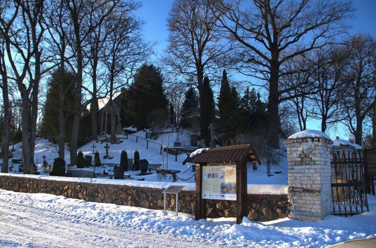
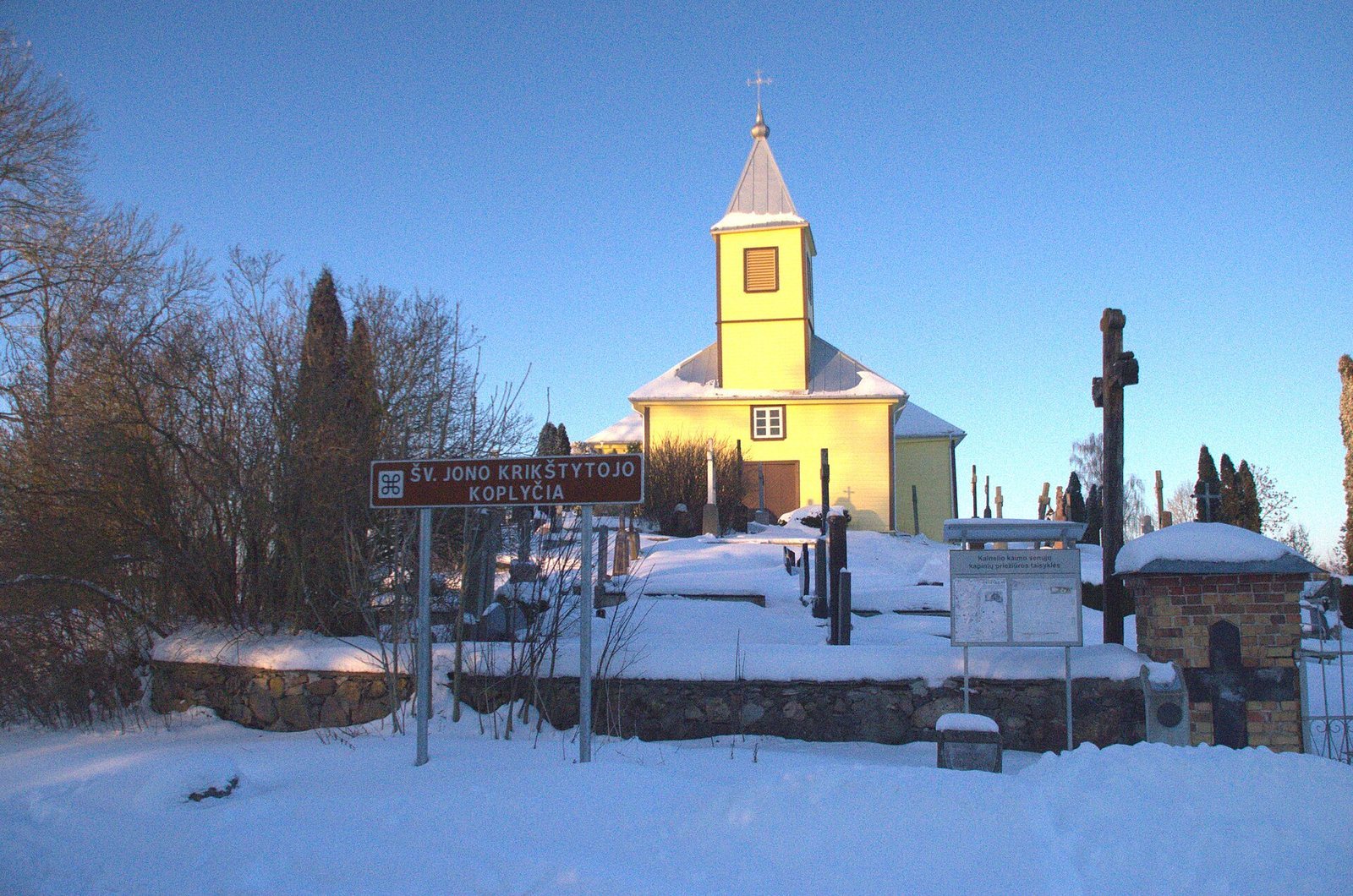
A wooden church was built on the hillfort in 1526, and a cemetery was established there. A manor later occupied the site of the suspected second hillfort, south of Kalnelis, during the sixteenth to eighteenth centuries. Gravel extraction destroyed that hillfort.
Juozas Šliavas surveyed Kalnelis hillfort in 1966. The Lithuanian Institute of History carried out exploratory archaeological investigations in 1968, and Algimantas Merkevičius examined the settlement around the hillfort in 1990.
Remains
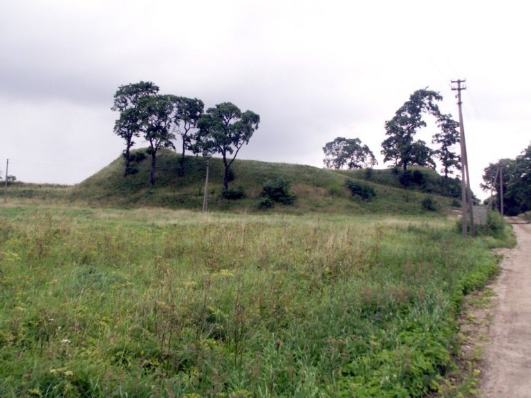
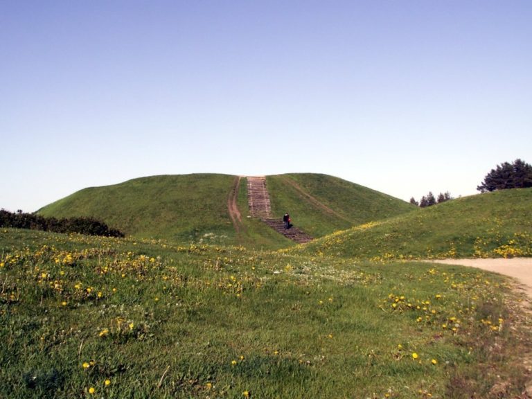
The main enclosure occupies an isolated hill, with a separate outwork to the north and an associated settlement extending west, south, and east. The summit, surrounding slopes, and the ditch that once encircled the hill form the principal features of the fortified site.
Main hillfort
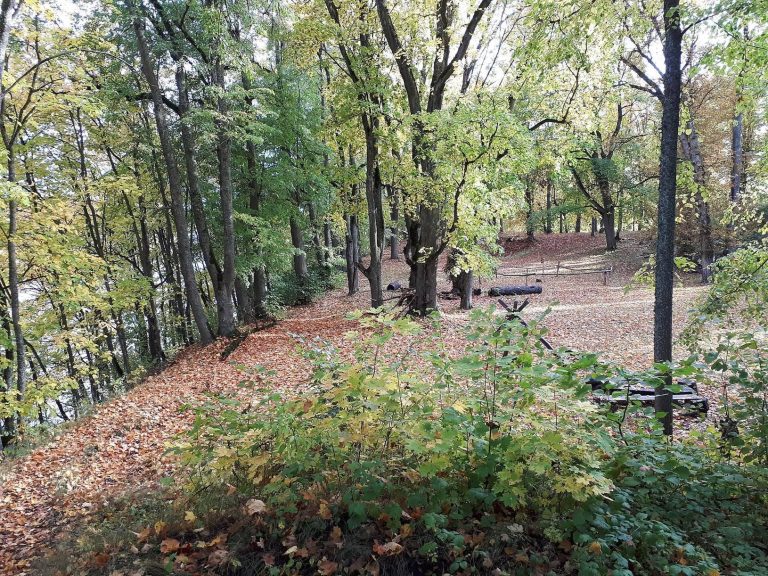
The hill stands on the left bank of the Sidabra River. Its oval summit measures 70 by 45 metres, and its slopes rise 4 to 6 metres. A ditch 4 metres wide and 2 metres deep encircled the base; it has since filled in. A chapel stands on the hillfort, and the western slope is its best-preserved slope, now overgrown with lilacs.
Northern outwork and cemetery
Beyond the ditch on the north, the outwork occupies a low hill about 3 metres high, with gentle slopes. Its oval summit extends 130 by 40 metres along a north–south axis. The cemetery established on the hillfort covers this outwork as well.
Settlement and finds
The hillfort’s archaeological cultural layer, accumulated soil containing evidence of past human activity, is about 0.9 metres thick. Finds include pottery with rough surfaces and pottery shaped on a wheel, a silver ingot, fragments of bronze sword-scabbard fittings, iron knives, spurs, an awl, and a jeweller’s hammer. A workpiece for a penannular brooch, a ring-shaped fastener with a gap, was also found.
Site of the suspected second hillfort
The suspected second hillfort lay south of Kalnelis, near the meeting of the Sidabra and Vilkiaušis rivers. Gravel extraction there brought sherds of wheel-shaped pottery, burnt clay, charcoal, and animal bones to light.