Salduvė Hillfort: A Fortified Settlement in Šiauliai, Lithuania
Site at a Glance
- Rating
- 4.5
- Popularity
- Medium
- Country
- Lithuania
- Primary era
- Medieval
- External website
- Open
- Eras represented
- Classical, Medieval
- Civilizations
- Unclassified
- Site type
- Military
- Remains
- Fort
On this page7 sections
History
Salduvė Hillfort, also known as Salduvės Kalnas and Šiaulių piliakalnis, is a fortified settlement in Šiauliai, Lithuania, dating from the first millennium to the fourteenth century. A wooden castle once stood on Salduvė Hill, and it may have played an important part in the lives of the Šiauliai princes and the earliest inhabitants of the city.
Early hillfort and castle
The hillfort belongs to the long period when fortified settlements and strongholds were established on prominent raised sites and defended with earthworks, ditches, and steep slopes. Its former wooden castle is associated with the early history of Šiauliai, although the castle’s precise role remains uncertain. The cultural layer has been heavily damaged, while occasional isolated finds continue to attest to the site’s earlier occupation.
Military alterations and memorials
An optical telegraph tower, which transmitted messages by visible signals between elevated stations, was built on the hill in the early nineteenth century. Trenches cut into the hillfort in 1915, 1941, and 1944. In August 1944, the Red Army, the armed force of Soviet Russia and later the Soviet Union, established an observation post on the hill. Soldiers also dug into the site during training exercises after the Second World War.
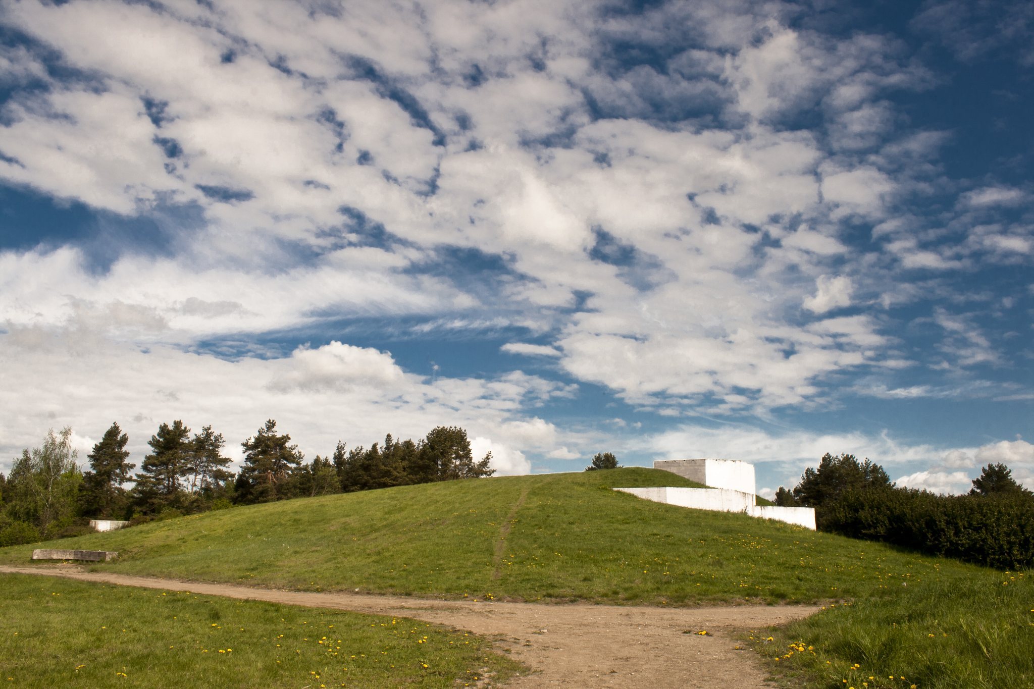
In 1977, the western part of the rampart at the foot of the hill was cut away for a memorial commemorating battles fought in the Šiauliai region between 1236 and 1945. A warriors’ memorial was erected beside Salduvė that year, designed by sculptor Juozapas Kęstutis Patamsis and architect Gražina Pajarskaitė and formally unveiled on 5 May 1977. It became a popular place for newlyweds to lay flowers and be photographed. An attempt was made to blow it up in 1992, and it was later dismantled after its copper sheeting began to be stripped.
During the Soviet period, song and dance festivals began to take place beside the hillfort. The former mayor K. Šavinys also ordered the dismantling of a remaining stone-paved road during work on the pedestrian boulevard on Vilniaus Street.
Names and local traditions
The origin of the name Salduvė is uncertain. One legend links it with the “sweet” love of a Šiauliai prince and his beloved. According to the story, Perkūnas, a Baltic thunder god associated with storms and divine punishment, struck the woman down because the couple lived together without marrying. Other explanations connect the place-name with the personal name Saldus or with honey brought to the castle.
Since the mid-twentieth century, scholarly literature has used the name Žuvininkų Hillfort. Older local residents, however, used Žuvininkų for a different burial mound between Žuvininkai village and the present Švedė pond. Another legend says that a wealthy city once occupied the site before its inhabitants abandoned morality and a terrible whirlwind buried it under earth.
Remains
Summit and defensive earthworks
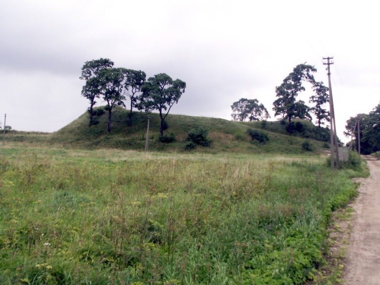
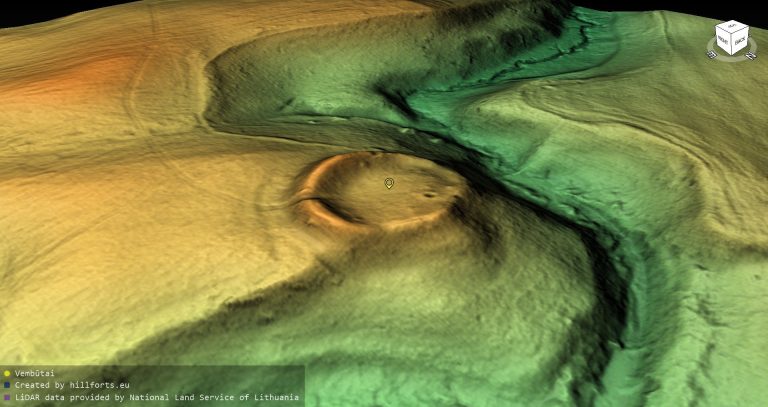
Salduvė Hillfort occupies the highest part of a large, isolated hill. Its circular summit plateau measures 20 metres across and is enclosed on every side by a rampart. The rampart reaches 1.7 metres in height and 20 metres in width on the western side. Elsewhere, it is 0.5 metres high and 10 metres wide.
A ditch runs along the southern, western, and northern foot of the hill. It measures 10 to 30 metres across and 1 to 4 metres deep. The ditch is widest and deepest on the western side, where its floor is 10 metres wide. Beyond it lies a 185-metre-long rampart, 3 metres high and 11 metres wide, with an outer slope rising 2 metres. On the northern and eastern sides, a 10-metre-wide terrace occupies the area of the ditch and rampart.
Slopes and settlement area
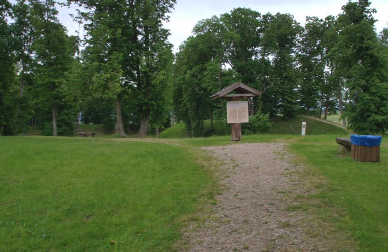
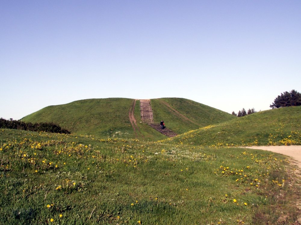
The hill’s slopes are steep and rise 10 to 15 metres. Stairs run up the western slope, while the hillfort itself is covered by grassland and has a geodetic marker on the summit plateau. The monument territory covers 98,100 square metres. A settlement area of one hectare lies southeast of the hillfort.
The physical fabric has been altered by the trenches dug in 1915, 1941, and 1944, the removal of part of the western foot rampart in 1977, and the later dismantling of the memorial. The hillfort is currently described as neglected.