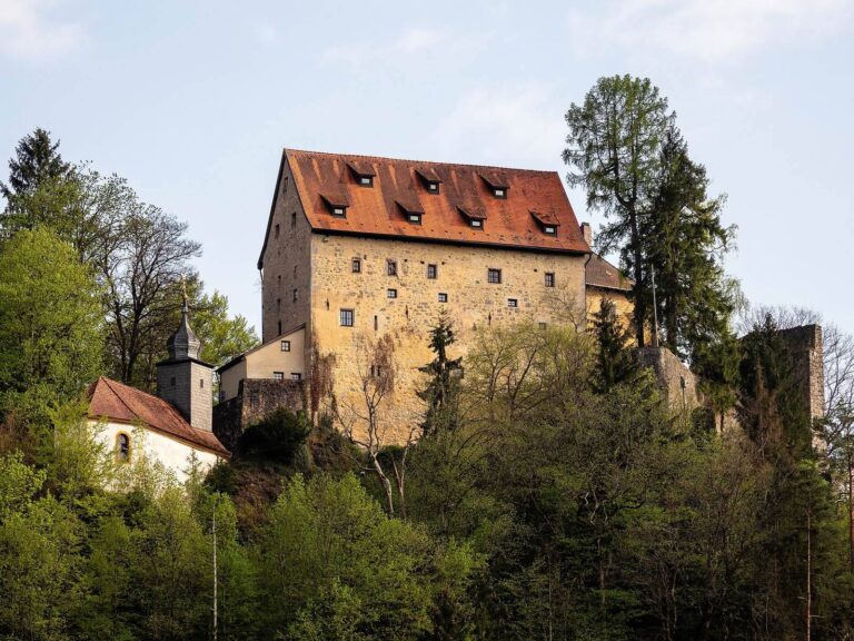
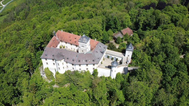
Vestenberg Castle Site: A Medieval Noble Castle in Bavaria
Site at a Glance
- Popularity
- Very Low
- Country
- Germany
- Primary era
- Medieval
- Eras represented
- Medieval
- Civilizations
- Holy Roman Empire
- Site type
- Military
- Remains
- Castle
On this page8 sections
History
Medieval foundation and dispute
The Vestenberg Castle Site, a former noble castle near Wüstenstein in Bavaria, Germany, was probably built by Nuremberg’s burgraves, medieval territorial officeholders, during the High Middle Ages, the central part of the European medieval period conventionally dated to the 11th through 13th centuries. The castle stood within the territory of the Bishop of Bamberg, whose office also carried secular authority there. Its construction prompted a dispute, taken to arbitration at Kersbach near Forchheim. The bishop’s complaint called it an unlawful encroachment. After the parties reached an agreement, the castle was probably demolished.
Later records and rediscovery
A division agreement dated 19 January 1536 awarded Wüstenstein Castle to Joachim von Aufseß and described Vestenberg, opposite Wüstenstein, as a place where a castle and residence had once stood. On 25 January 1543, the margraves who succeeded the burgraves granted Joachim rights to both castles under a feudal arrangement. A possible plan to rebuild Vestenberg was never carried out.
Castle researcher Hellmut Kunstmann located the site in 1942. Bavaria’s heritage-protection agency, the Bavarian State Office for Monument Preservation, classifies it as an archaeological monument of the medieval and early modern periods.
Remains
Layout of the castle site
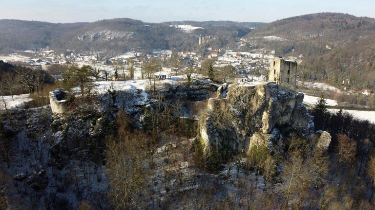
The castle had a two-part, roughly mushroom-shaped plan, with an outer bailey, a defended area outside the main stronghold, and a long, narrow main castle at the tip of a spur. A natural hollow separated the two areas. The site lies in central Franconian Switzerland, within the Franconian Jura, at about 430 metres above sea level. Its spur projects south-southwest from a plateau and rises roughly 50 metres above the valley. The Aufseß borders it to the west, while the Steingraben dry valley runs along its southeastern side. The site stood about 950 metres north-northeast of Wüstenstein’s Lutheran parish church and had a direct view of Wüstenstein Castle and its later palace.
Outer bailey
The outer bailey occupied a roughly diamond-shaped, level area measuring about 50 by 20 metres. It lay between the main castle and the plateau approach, with the natural hollow separating it from the main stronghold.
Rampart and entrance
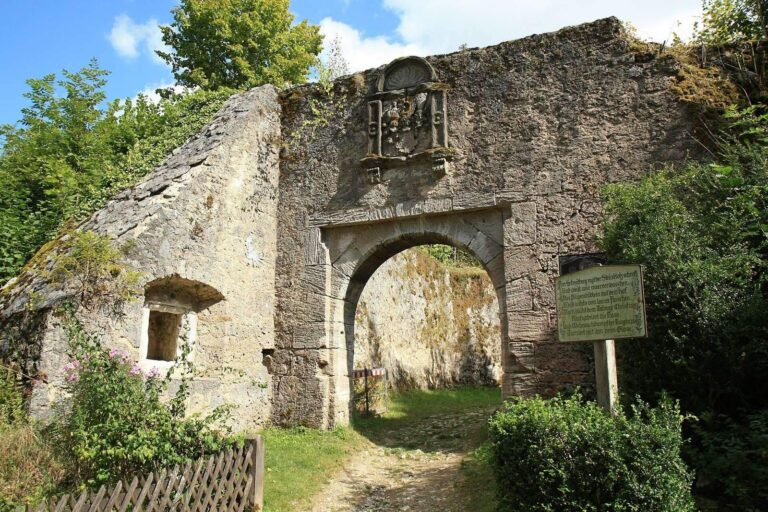
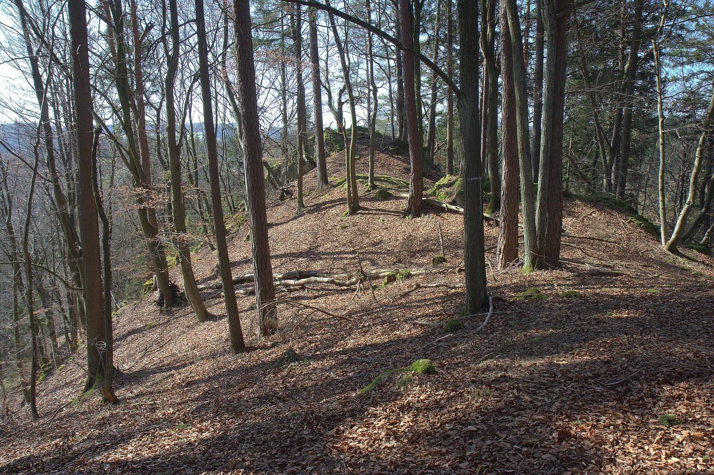
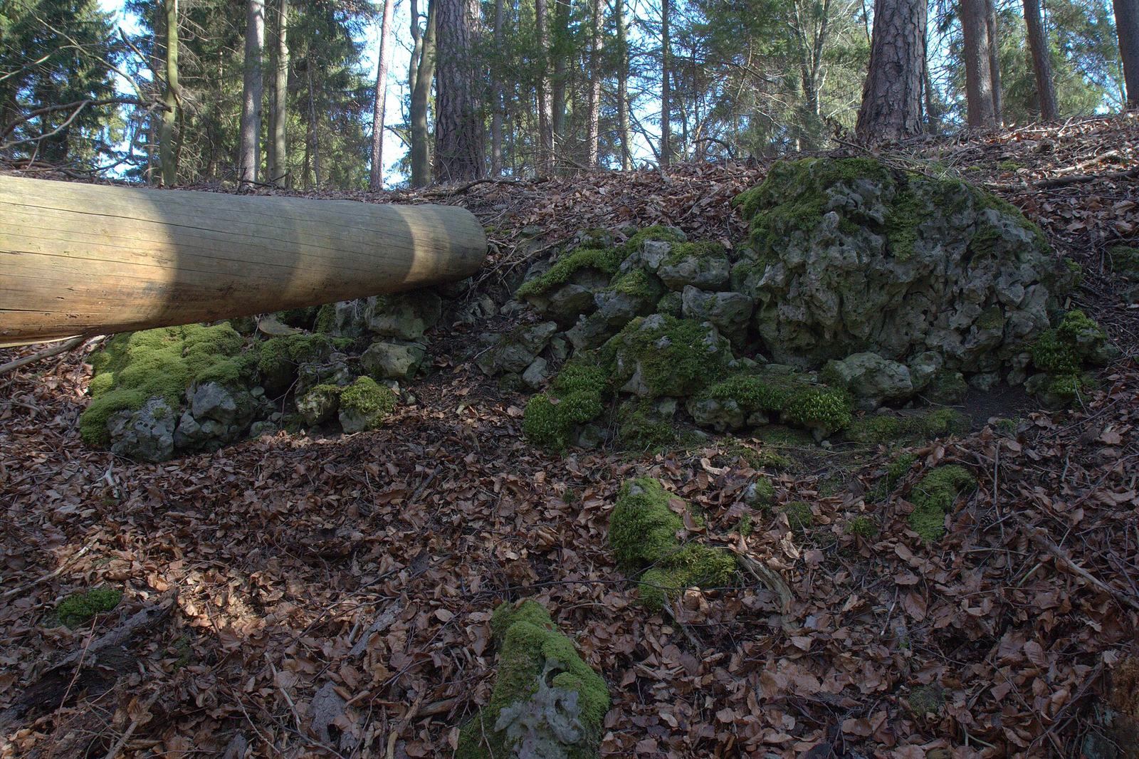
On the exposed northeastern approach, a shallow neck ditch, cut across the narrow connection between the spur and higher ground, and a rampart formed the defenses. About nine metres wide, the rampart runs northwest from the southeastern slope before bending west at an obtuse angle. It now rises up to 1.8 metres on its outer side and 1.2 metres above the outer-bailey ground. A stone wall about 1.5 metres thick lies within its core. A passage at the rampart’s northernmost point was probably the original entrance; a surviving foundation fragment marks the likely position of a gate tower on the west. Traces of a heavily flattened ditch remain in front of the rampart on the southeast.
Main castle
The rectangular main castle occupied a dolomite outcrop at the spur’s tip, about two metres above the outer bailey. It measured approximately 25 metres long and seven metres wide. Dense woodland now covers the site, which survives chiefly as an earthwork rampart associated with the former outer wall and a few other traces.