Menhirs de Monteneuf: A Neolithic Stone Alignment in France
Site at a Glance
- Popularity
- Medium
- Country
- France
- Primary era
- Stone Age
- Eras represented
- Stone Age
- Civilizations
- Unclassified
- Site type
- Civic
- Remains
- Megalithic Monument
On this page7 sections
History
Neolithic construction and later destruction
The Menhirs de Monteneuf are a prehistoric stone alignment near Monteneuf in France, erected by Neolithic communities around 3500 BC. Charcoal from stone-setting pits yielded radiocarbon dates of 4540 ± 80 BP and 4340 ± 50 BP. BP means “before present,” using AD 1950 as its reference point; the dates are associated with construction in the Middle to Late Neolithic. Finds indicate that people visited the site from the Neolithic onward.
The stones were deliberately toppled or broken in a widespread act of destruction that appears to have happened within a relatively short period. Its scale suggests substantial effort and an intention to dismantle the monument completely. Three later charcoal dates, 1310 ± 50 BP, 1210 ± 75 BP, and 980 ± 50 BP, may relate to this event and place it broadly between the 7th and 12th centuries. The destruction is also thought to have occurred around AD 1000.
Rediscovery and archaeological study
In 1825, Canon Mahé, a cleric serving a church chapter, described seven or eight stones about twelve feet high on heathland toward Saint-Malo-de-Beignon. Writers repeated his description in 1847 and 1863. For a long period, only three stones could be seen above the heath. Fires during the drought of 1976 revealed others.
Yannick Lecerf led a planned excavation campaign from 1989 to 1996 under France’s Regional Directorate of Cultural Affairs, a government service responsible for culture and heritage. The site was listed as a French historic monument, a heritage-protection designation, in 1997, and became part of the Monteneuf Heathlands Regional Nature Reserve in 2013. Archaeological surveys have taken place annually since 2014. The road beside the site, now the D776, was named the “Road of the Straight Stones” in the Napoleonic cadastre, a French land survey and property register.
Remains
Setting and stone arrangement
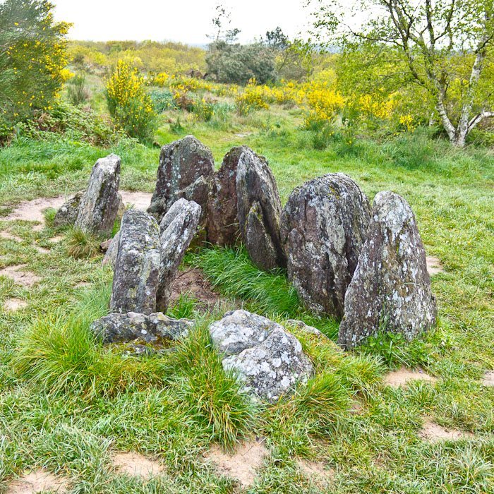
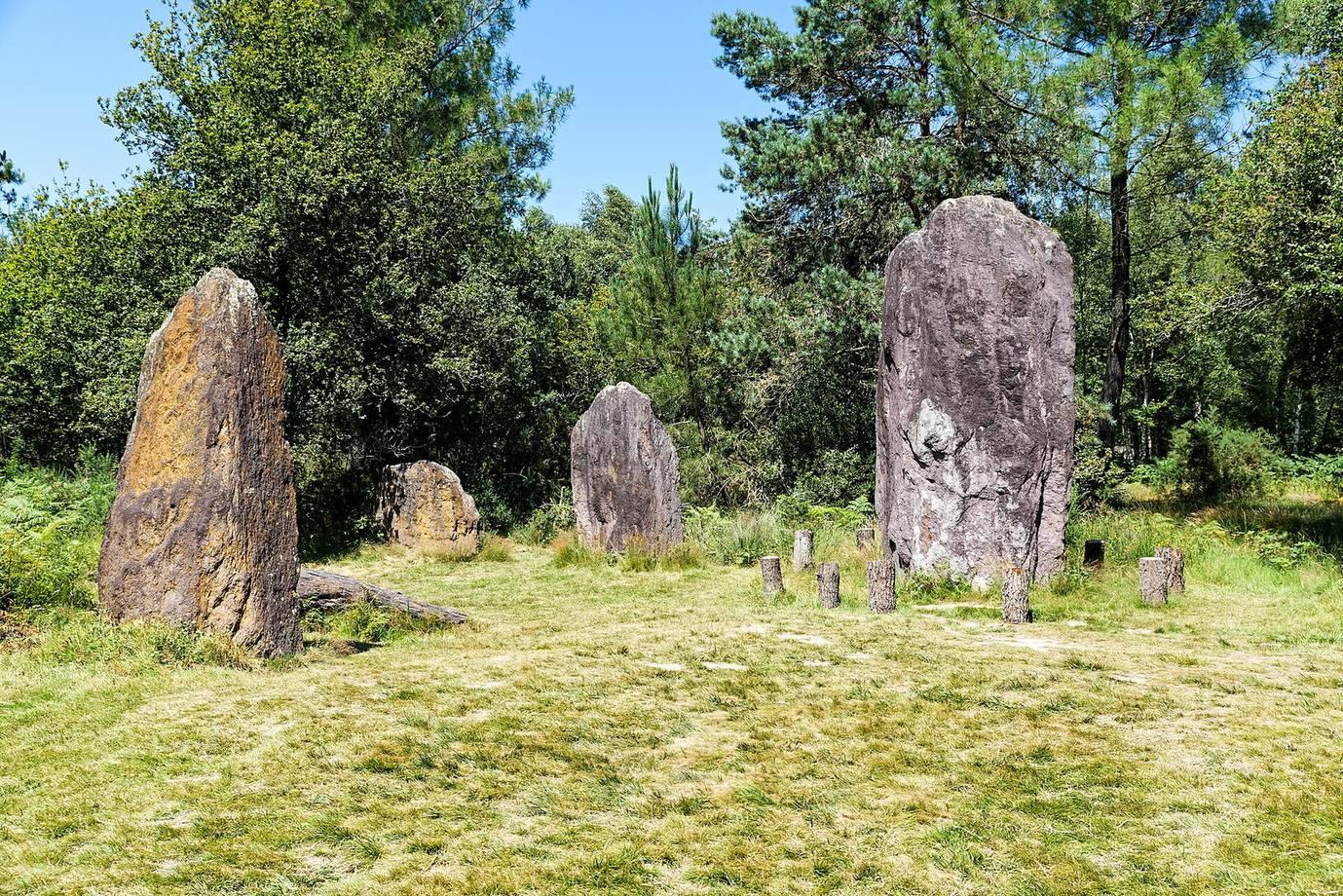
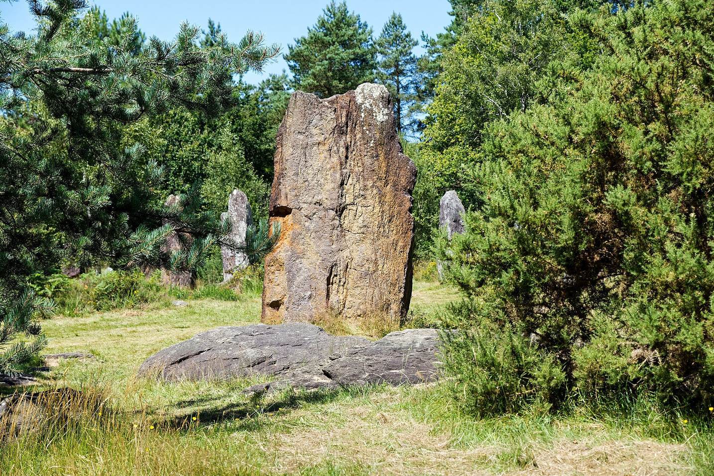
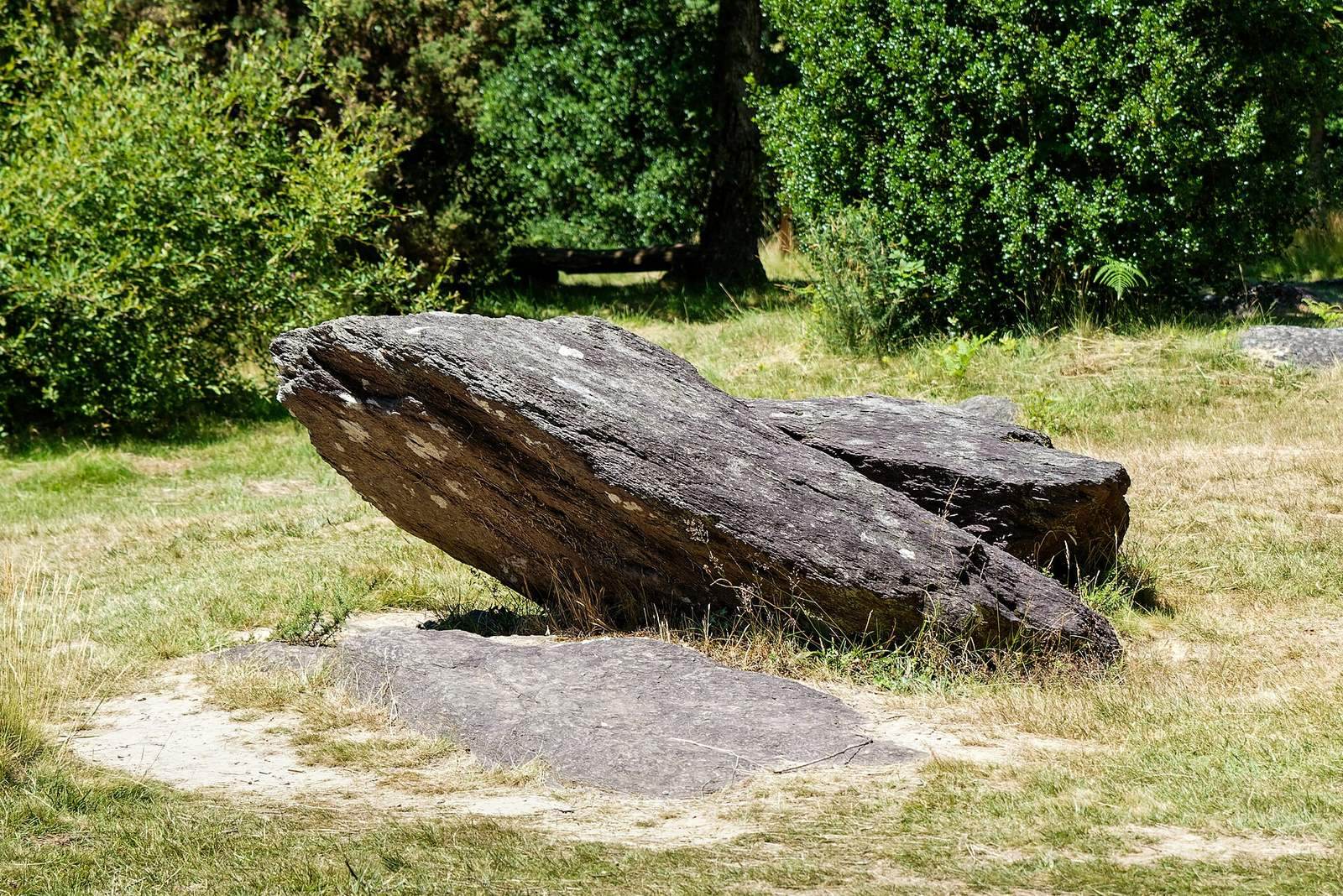
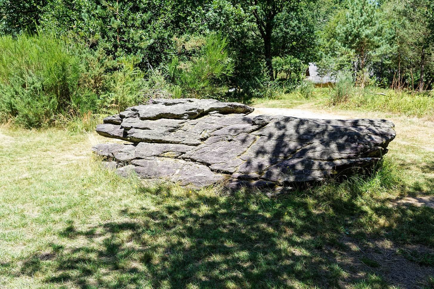
The site occupies the southern slope of a plateau rising to 140 metres, about two kilometres east of Monteneuf village, beside the D776 in Paimpont forest. It includes 42 menhirs, or large upright stones, across one hectare, while about 420 stones are spread over 7.5 hectares. All are made from locally sourced purple schist, a layered rock, and have quadrangular, spindle-like, or irregular forms. Their lines generally follow an east–west direction, though they are not always parallel, and other stones form groups without an apparent order. The broad faces of nearly all the menhirs point north and south, with two exceptions. In some groups, different forms and volumes alternate along the lines.
Stone setting and extraction
Builders used several methods to raise the stones. Rings of smaller stones brace the bases of some flat-bottomed menhirs, while other stones were placed in setting pits or more complex arrangements. Some stood on elongated tumuli, artificial mounds. Certain setting structures lie slightly north of the general direction of their lines, by no more than a metre; these deviations often involve large stones. Quarries around the site were made by digging into natural outcrops and using the schist’s natural joints. Linear traces in the ground near setting pits are interpreted as marks left while stones were moved from quarry areas to their intended positions. Compacted patches may have served as work areas for handling the stones with raising trestles.
Broken stones and restoration
Some stones were toppled into trenches dug in advance, while others were broken where they stood. Marks on fragments point to the use of metal tools. Restoration returned 42 menhirs to their original positions and created a separate reconstruction area.