Neu-Dernbach Castle: A Medieval Outpost Against Nassau
Site at a Glance
- Popularity
- Medium
- Country
- Germany
- Primary era
- Medieval
- Eras represented
- Medieval, Early Modern, Modern
- Civilizations
- Holy Roman Empire, Landgraviate of Hesse
- Site type
- Military
- Remains
- Castle
On this page11 sections
History
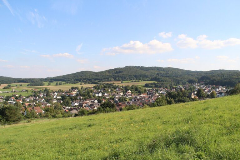
Neu-Dernbach Castle is a medieval hilltop stronghold in Dernbach, a district of Bad Endbach, Germany. Built by the Lords of Dernbach before 1350, it served as an outpost against the Counts of Nassau and helped protect the western side of Blankenstein Castle and the Obergericht, an area of the Blankenstein district along the upper Salzböde. Its garrison, alongside those at Blankenstein, also helped the Landgraves of Hesse secure and monitor the Brabant Road.
Foundation and territorial settlement
The castle arose amid the Dernbach Feud, a conflict between the Lords of Dernbach and the Counts of Nassau that lasted approximately from 1230 to 1336. Under pressure, the Dernbach family left its earlier seat at Alt-Dernbach, a settlement with a small water castle beside a ford on the Aar west of Herbornseelbach. First mentioned in 1263, that castle was probably built on a raised earth mound; it was destroyed and abandoned during the feud. In 1333, the Dernbach co-heirs sold extensive properties and rights in the Herborner Mark, a regional territory associated with Herborn, to Nassau.
The Lords of Dernbach built Neu-Dernbach north of Wommelshausen with help from the Haincher branch of the Lords of Bicken. They placed it under the Landgrave of Hesse, a territorial ruler, as a fief, meaning land held from a superior lord. In 1350, the Landgrave granted it back to them. The castle was intended to secure the Hessian-held Obergericht and protect the western side of Blankenstein. A garrison at Wallenfels had a related role, particularly at the Angelburg junction of the Brabant Road, Westphalian Way and Herborn High Road.
In 1354, Kuno von Dernbach married Countess Margaretha of Solms. With the Landgrave’s consent, he received Günterod and Krumbach as a dowry, as well as the new settlement of Dernbach, whose district was formed from land belonging to Wommelshausen. Wommelshausen received land to the south, including part of Seibertshausen, a settlement that had disappeared before 1340, with woodland and meadows in the Salzböde valley. Once the Obergericht had definitively passed to Hesse, the Dernbach family also gained properties in nearby villages, including eleven in Wommelshausen.
Strategic decline
Raids and feuding continued into the later fourteenth century. In 1366, Nassau forces raided and plundered Lohra. As insecurity increased, long-distance traffic shifted away from the Brabant Road toward a southern route, increasingly used from the late fourteenth into the early fifteenth century. It ran from Herborn through the Aar valley via Bicken, Bischoffen and Niederweidbach, then through the Vers valley via Seelbach, Rollshausen and Altenvers toward Marburg. Neu-Dernbach, Wallenfels and Blankenstein consequently lost strategic importance and fell into disrepair. Blankenstein later gained a different role as the district’s administrative seat.
Decay and later use
Neu-Dernbach was held jointly by two family branches, later known as von und zu Dernbach and von Dernbach genannt Graul. In 1540, Peter von Dernbach genannt Graul sold his share to the Hessian Landgrave. By then, the other branch lived at the castle estate outside the castle itself. The castle was described as old and dilapidated by 1570 and continued to decay.
When Friedrich Ludwig Christian von Dernbach died without children in 1748, the Protestant branch entitled to hold the fief came to an end. Landgrave Ludwig VIII of Hesse-Darmstadt reclaimed the castle and its associated lands, which included the Dernbach district, made them a state domain and leased the land. The Catholic Fulda branch of the family challenged the decision but did not succeed. A new manor house was built in 1750. In 1796, farmsteads occupied divided portions of the castle remains; by about 1850, seven houses had been built on the former castle site or directly against its walls.
Excavations may have taken place on and around the grounds in the 1930s, possibly by the Reich Labour Service. Cellar vaults may have been uncovered, but the results and any record of the work are unknown.
Remains
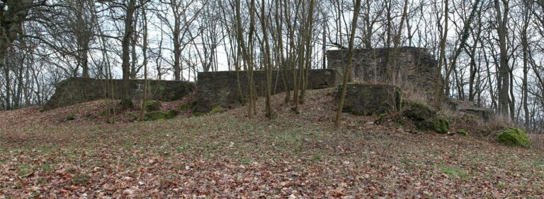
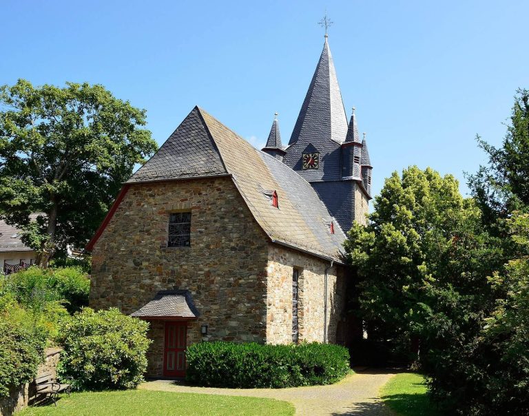
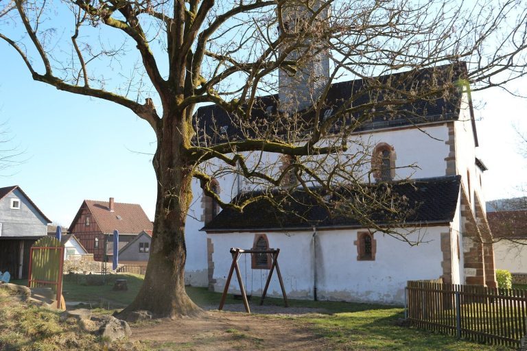
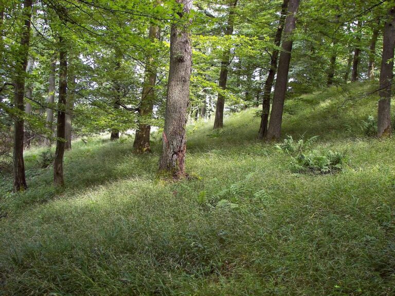
The castle occupied a wooded hill about 480 metres above sea level. Its enclosure had a nearly rectangular or trapezoidal outline aligned north to south. A rubble mound with a small bell tower stands on the hill, among surviving wall sections and traces of former buildings.
Enclosure and towers
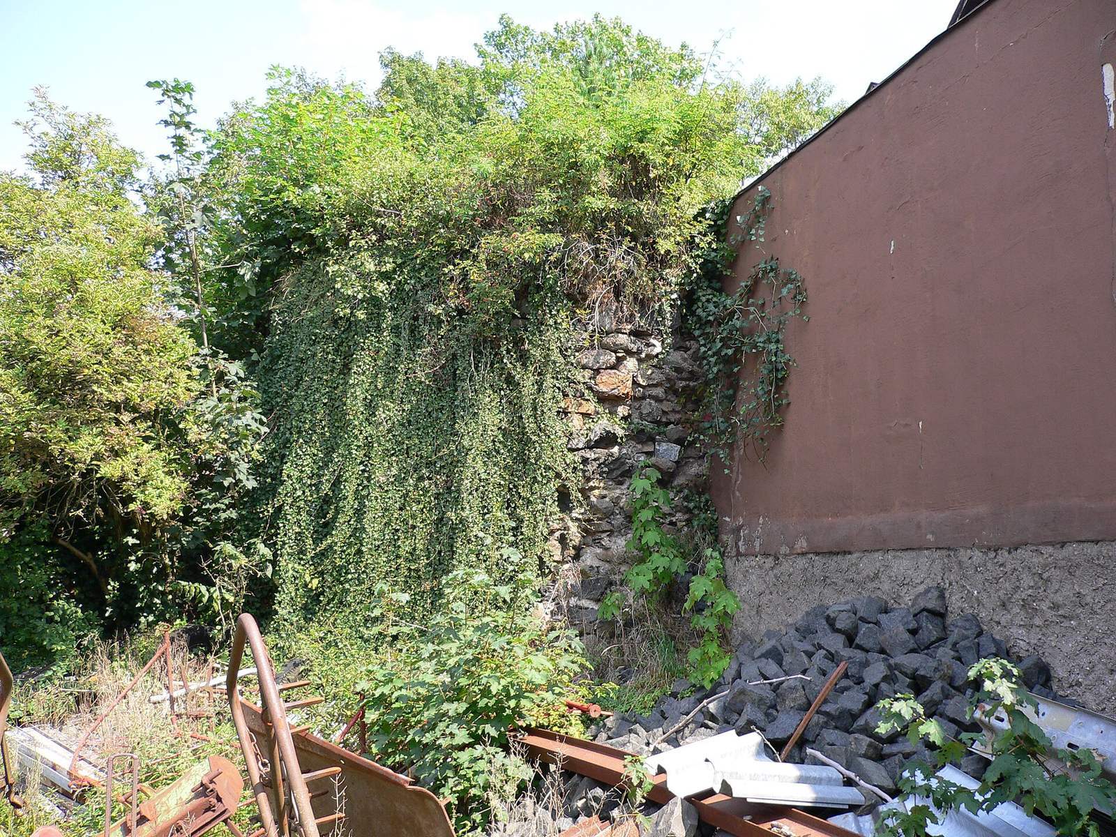
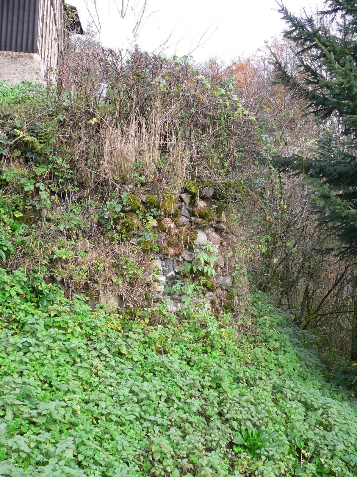
Larger stretches of the outer walls survive in the southern part of the site. The remains extend from the west around the enclosure to the east. Open-backed shell towers, built open on the side facing the enclosure, remain at the southwest and southeast corners; a separate fragment of a round tower marks the northwest corner. A wall running south from the larger shell tower may have belonged to a smaller defended enclosure outside the main one.
Residential and estate buildings
Main residence
A substantial main building still stood at the castle by the mid-sixteenth century. After it decayed, each co-heir built a smaller successor structure on their own portion of the estate. A plan made in 1850 marked remains at five places on the castle plateau. Four lay in the southern part, a pattern that may represent the older main building, probably a principal residential hall extending from west to east.
Graulen-Hof and shared estate buildings
The Graulen-Hof, owned by Albert von Dernbach zu Grauel, stood within the shared estate on the castle site. Its ground floor apparently contained a kitchen and stable, while the upper floor had a parlor and a bedroom chamber. The farmstead had fallen into ruin by the end of the eighteenth century. Each co-heir had a separate stable, and the castle had two entrance gates. A barn and cowshed belonged to the Graul branch’s buildings.
Manor house and cellar
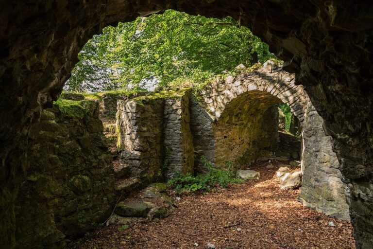
The manor house and the last farm buildings stood northwest of the castle hill. They were demolished in the mid-nineteenth century, leaving a vaulted cellar.
Estate landscape
The co-heirs’ holdings included ponds, meadows and fields, along with a grist mill east of the castle in the valley of the Dernbach stream. Some of this land was held as fiefs, while other property was held independently.