Rimberg: An Iron Age Hilltop Settlement in Germany
Site at a Glance
- Popularity
- Very Low
- Country
- Germany
- Primary era
- Iron Age
- Eras represented
- Iron Age
- Civilizations
- Celtic
- Site type
- Military
- Remains
- Wall
On this page10 sections
History
Rimberg is an Iron Age hilltop settlement on the summit of the mountain of the same name in Dautphetal, Germany. Ring walls, defensive enclosures following a roughly closed circuit, surrounded the settlement. A charcoal date places its earliest known occupation between 858 and 756 BC, a phase associated with the Late Urnfield period, a late Bronze Age era in central Europe linked to cremation burial practices.
La Tène occupation
A later phase probably began around 250 BC, during the late Early or early Middle La Tène period, an era of the Iron Age. Metal objects taken from the site by detectorists suggest that occupation continued through the Late La Tène period, to around the turn of the era. Rimberg’s occupation is considered contemporary with that of the Eisenköpfen ring-wall site near Hommertshausen, about 9 km away in a straight line.
Modern investigation
In 1973, construction of a path to an observation tower cut through two ramparts in the western part of the complex then known. A field campaign in 2003 surveyed a 650 by 500 m area around the summit and included excavation in the settlement’s core.
Remains
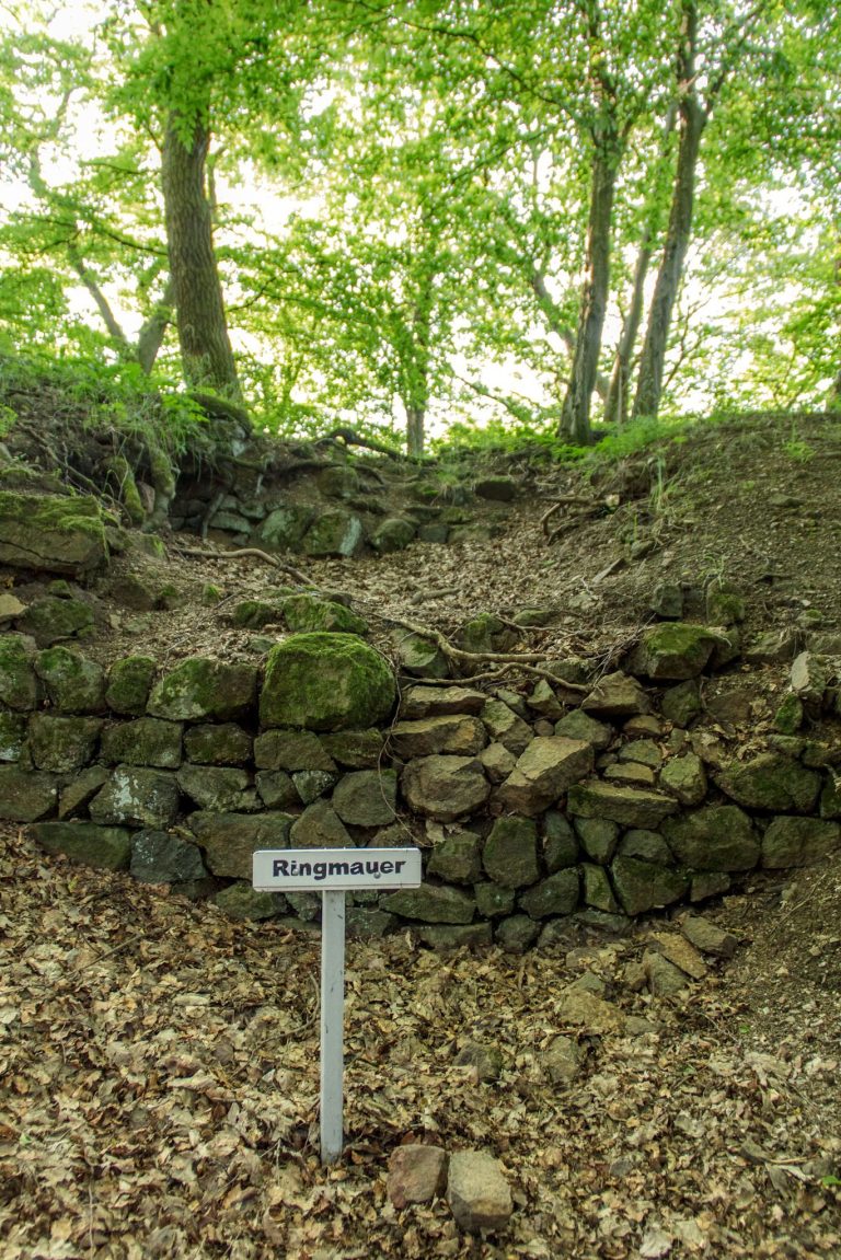
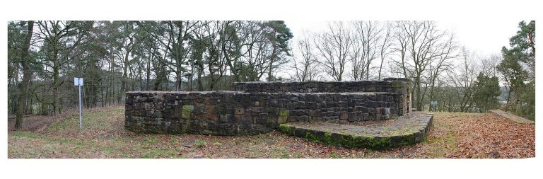
The ring-wall complex covers about 12 hectares on Rimberg’s 497 m-high summit, overlooking the upper Lahn Valley. Its defenses made use of the mountain’s natural slope edges, reinforced with palisades, barriers of upright posts. Earthen ramparts were added in only a few places.
Enclosures and entrances
Two ring walls were known in the summit area before a third, outer wall was identified to the west and northwest. This outer enclosure surrounds a spring at an elevation of 410 m. A tangential gate, set at an angle to the defensive line, lies in the northeast of the core enclosure. Another opening is suspected midway along its western side.
Excavated features and finds
Western wall and palisade
A straight north–south wall along the west side of the core enclosure is interrupted by a vehicle track. A 13.5 m-long terrain profile there revealed a trench for a palisade and, immediately inside it, a gravel layer about 2 m wide, interpreted as a walking surface. On the uphill side, a roughly 4 m-long deposit of charcoal and burnt stones had been spread over the surface as fire debris; the burning itself did not take place there. A second post trench lay beneath the palisade trench, while two stepped, levelled areas, each a little more than 2 m wide, lay in front of it.
Outer western and northwestern areas
Path construction in 1973 exposed a heavily burnt timber structure in the outer wall and yielded substantial pottery material. Fragments of millstones made from vesicular basalt, a porous stone formed by gas bubbles, were found in the outer western and northwestern area.
Settlement deposits
A 10 by 5 m area was opened in the gently sloping settlement ground north of the observation tower. Beneath the topsoil lay a 0.4–0.5 m-thick deposit of colluvium, soil and rock accumulated through movement down a slope, mixed with pottery fragments.
Metal objects
Metal finds taken from the site by detectorists include an iron fibula, an ancient brooch used to fasten clothing, a Nauheim quinarius, a small silver coin associated with Celtic coinage, and a three-whorl pendant.