Hünstein Castle: A Prehistoric Ringwall Fortification in Germany
Site at a Glance
- Popularity
- Very Low
- Country
- Germany
- Primary era
- Iron Age
- Eras represented
- Iron Age, Medieval
- Civilizations
- Celtic, Hallstatt culture, Holy Roman Empire
- Site type
- Military
- Remains
- Fort
On this page5 sections
History
Hünstein Castle is a prehistoric ringwall fortification about 1 km southeast of Holzhausen in Dautphetal, Germany. It probably dates to either the Hallstatt or La Tène period, successive Iron Age cultures in central Europe. Wolfgang Dehn placed the main wall more specifically in the late Hallstatt or early La Tène. The Daubhaus ringwall, about 850 m south on Daubhaus mountain, is assigned to the same broad period.
The angled rampart south of the main enclosure is considered a medieval addition, based on its condition and course. A later post-medieval phase involved use or enlargement of the complex. Medieval earthworks north of the lookout tower, including a ditch and rock workings, have been proposed as one possible location of Allerburg, a historical fortification whose precise location is uncertain.
Remains
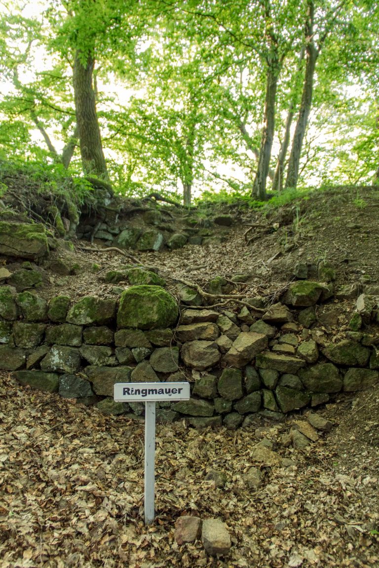
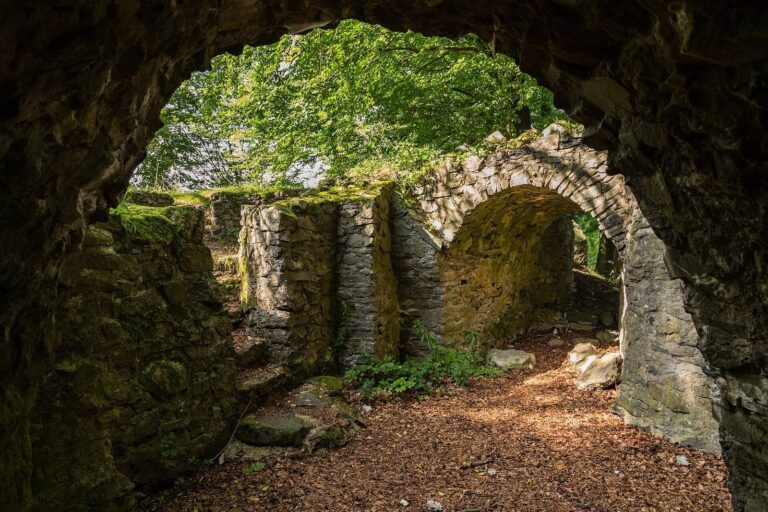
The fortification occupies the 504 m-high Hünstein, formerly called Hünkopf, in an ore-bearing zone of diabase (a hard igneous rock) at the eastern edge of the Rhenish Slate Mountains, within the Gladenbach Uplands. Its remains include a ridge-top enclosure, a separate rampart to the south, and earthworks north of the lookout tower. Small masonry remains, banks, and ditches survive.
Main Enclosure
The oval enclosure follows the ridge from southwest to northeast. Its collapsed stone wall extended for about 150 m, while natural diabase cliffs bounded the enclosure on the north and west. It covers about 0.76 hectares, or roughly 1.46 hectares when the southern rampart is included. Dehn interpreted the wall as a timber-and-stone structure of the Preist type (a timber-and-stone wall form). At the southwest, the wall ends overlap, and an earlier entrance is suspected there.
Southern Rampart
A second rampart crosses the ground south of the enclosure at an angle. Its earthen bank is 1–2 m high, with a ditch in front about 10 m wide and roughly 2 m deep. The bank does not connect directly to the slope: its northern end crosses a ridge of terrain east of the ringwall, while its western end opens onto a passage thought to be older. On the south, the enclosure crosses a shallow hollow where the Hüntränke spring rises; beyond it, a saddle leads toward Allberg.
Medieval Earthworks
North of the lookout tower, a ditch cut across a narrow neck of land lies alongside rock workings. These features form part of the site’s surviving earthworks.