Castle of Tarabau: A Medieval Hilltop Stronghold in Spain
Site at a Glance
- Popularity
- Very Low
- Country
- Spain
- Primary era
- Medieval
- Eras represented
- Medieval
- Civilizations
- Carolingian
- Site type
- Military
- Remains
- Castle
On this page8 sections
History
The Castle of Tarabau is a ruined hilltop stronghold in Spain, first recorded in 892. Its territory included the headwaters of the Rialb, known in documents as the valley of Tarabau, and the hilltop may have offered local inhabitants temporary refuge as well as serving a defensive purpose.
Early records and boundaries
In 892, Koigo sold Sunila and his wife, Ligília, a vineyard and an olive press at the castle, in a place called Binganio. Tarabau later marked the limits of neighboring estates. In 961 it formed part of the boundary of the castle of Rua, and in 1033 it marked the eastern edge of the castle of Llordà when Ermengol II, count of Urgell, and his wife Constança sold that castle to Arnau Mir de Tost. Later references to Tarabau or its territory include documents from 1055, 1078, 1080, 1088, and 1095.
The Tarabau family and the counts of Urgell
The Tarabau family, lords of the castle, shared an origin with the Meià family and took part in the political affairs of the county of Urgell during the eleventh and twelfth centuries. Borrell de Tarabau, son of Ermemir and brother of Guillem de Meià, and Guillem were held as hostages from 1018 to 1026 to guarantee an agreement between Ermengol II of Urgell and Berenguer Ramon I of Barcelona concerning the castles of Alòs, Montmagastre, Malagastre, and Artesa.
Members of the family appear as executors and witnesses in records extending to 1180. In 1092, Ramon Guerau de Tarabau gave a farmstead within the castle’s territory to the Church of the Holy Sepulchre in La Seu. Ermengol VII’s will of 1167 granted Tarabau and its territorial possessions to his son Ermengol VIII. The counts of Urgell held the castle’s overlordship at that time, while the Tarabau family were probably their vassals, holding rights under a higher-ranking lord.
Later lordship
The castle’s territory eventually became part of the Barony of Rialb, a feudal territorial lordship. In the nineteenth century, the last lords of Tarabau belonged to the Mercader and Sadurní families. The site is designated a Cultural Asset of National Interest in Catalonia.
Remains
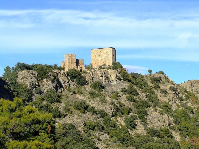
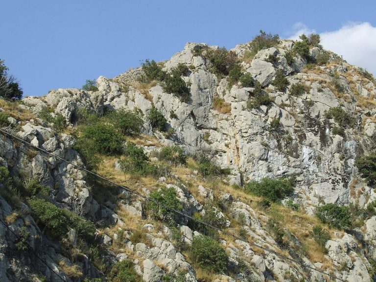
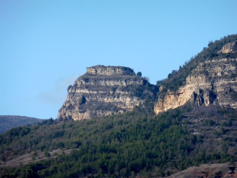
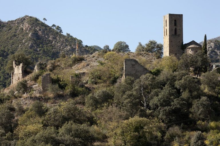
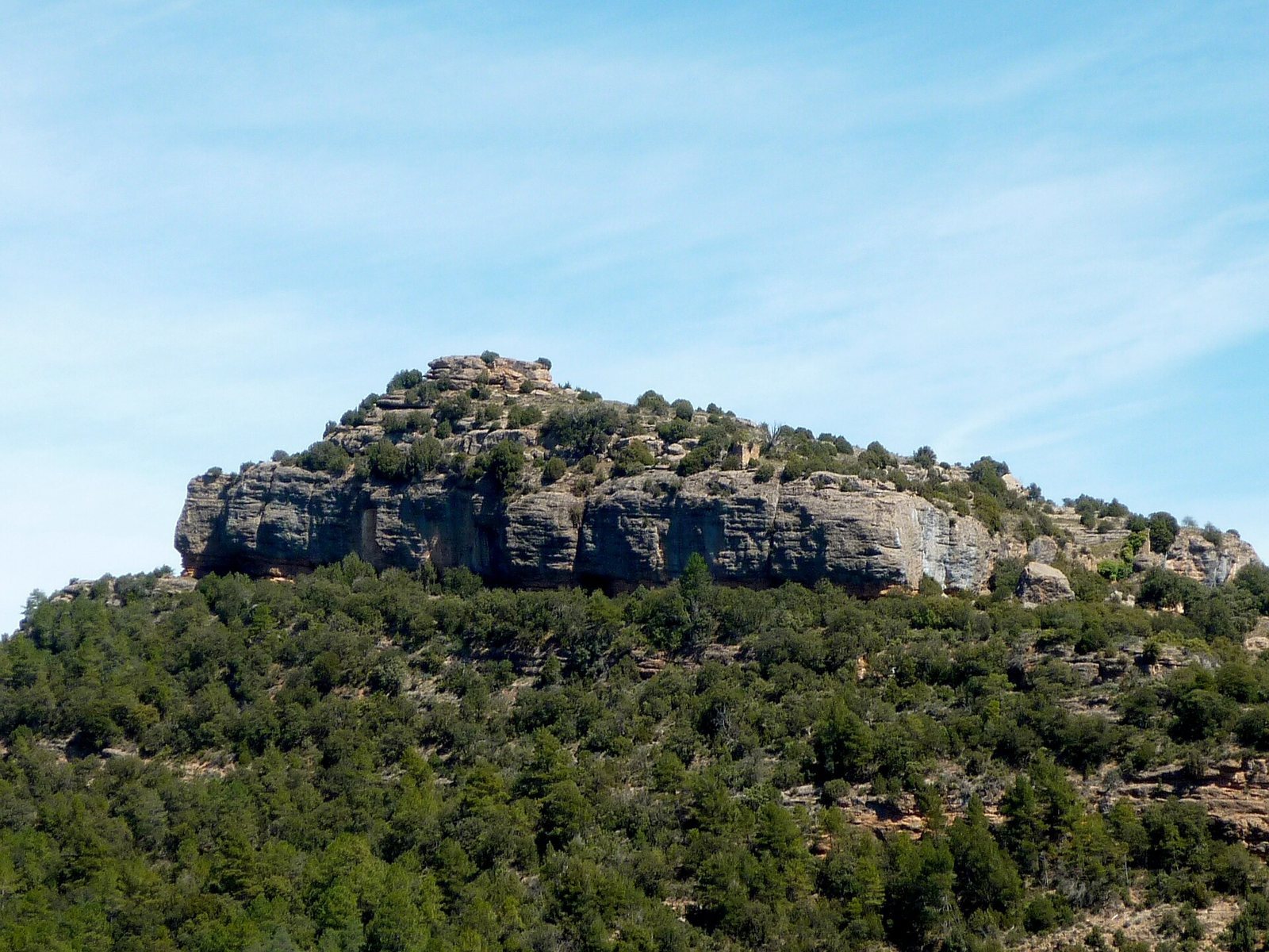
The fragmentary castle remains occupy a rocky summit at 997 metres, between the Rialb River and the Cerdanyès stream, overlooking the northern part of the Rialb basin. The uneven summit is roughly triangular, about 200 metres wide at its southern end and 150 metres from south to north. Cliffs border nearly all of the upper plateau, leaving the southern approach comparatively exposed.
Southern enclosure and entrance
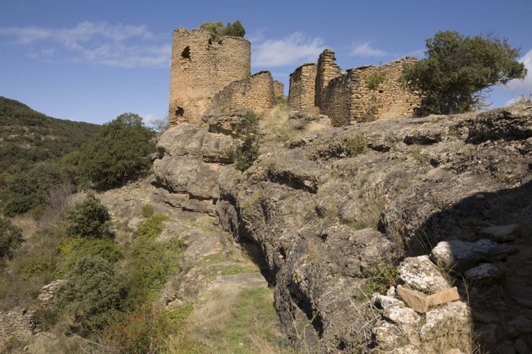
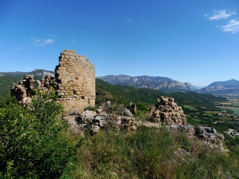
A wall protected the less defensible southern side, where the entrance stood; a tower may have occupied the eastern side. Part of the wall has collapsed, and the entrance was rebuilt in modern times. An original eastern section measures 8 metres long and 4.5 metres high, with further original stretches of 5 and 7 metres at the angle to its east. The wall is about 70 centimetres thick at the top. Its roughly worked blocks, generally about 15 by 30 centimetres, are laid in regular courses with lime mortar; larger stones reinforce the base and corners. Wall remains follow the southern edge of the rocky drop on either side of the central passage, reaching 2 metres in places. The enclosure probably extended around much of the plateau.
Castle building and rock-cut tank
A small rectangular castle probably stood on the northern side of the plateau before the year 1000. Its western wall survives as a difficult-to-discern stretch about 4 metres long and 30 centimetres high, built from one or two rows of small, roughly worked blocks. The building was probably about 4 metres wide. A tank cut into the rock lies to its north and measures 170 by 110 centimetres.
Other structures and caves
Just inside the entrance, on the eastern side, a structure may have stood where levelled and cut rock and a few stones remain. A rectangular building several metres beyond the entrance to the southwest has been identified as a church, though that identification is uncertain. Other structures may have occupied the southeastern open area. Large caves beneath the outcrop, especially on its western side, served to pen livestock and may at some point have been used as dwellings.