Fort de la Croix-de-Bretagne: A French Artillery Fort near Briançon
Site at a Glance
- Rating
- 4.5
- Popularity
- Very Low
- Country
- France
- Primary era
- Modern
- Eras represented
- Modern
- Civilizations
- French
- Site type
- Military
- Remains
- Fort
On this page7 sections
History
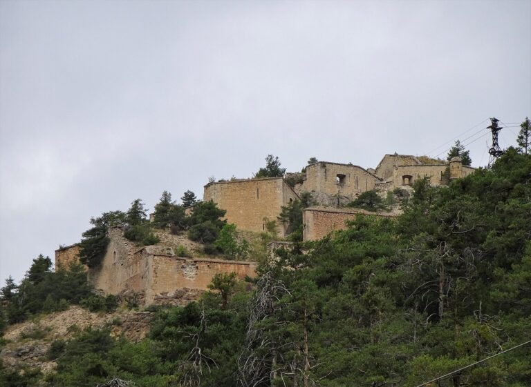
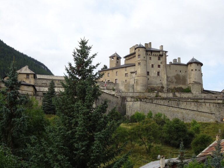
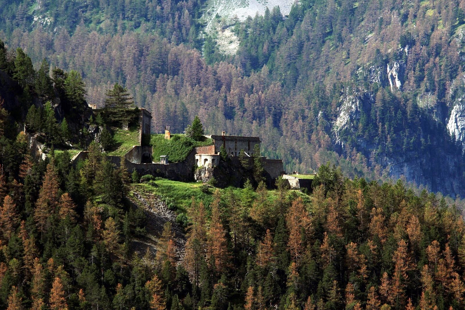
Fort de la Croix-de-Bretagne is a French artillery fort in the mountains southeast of Villar-Saint-Pancrace, France. Built during the 1870s as a long-range artillery fort, it formed part of the Séré de Rivières system, a French network of fortifications developed after France’s defeat in the Franco-Prussian War. Its purpose was to defend Briançon against an advance from Italy by way of the Montgenèvre route and the Cerveyrette valley.
Construction and strategic role
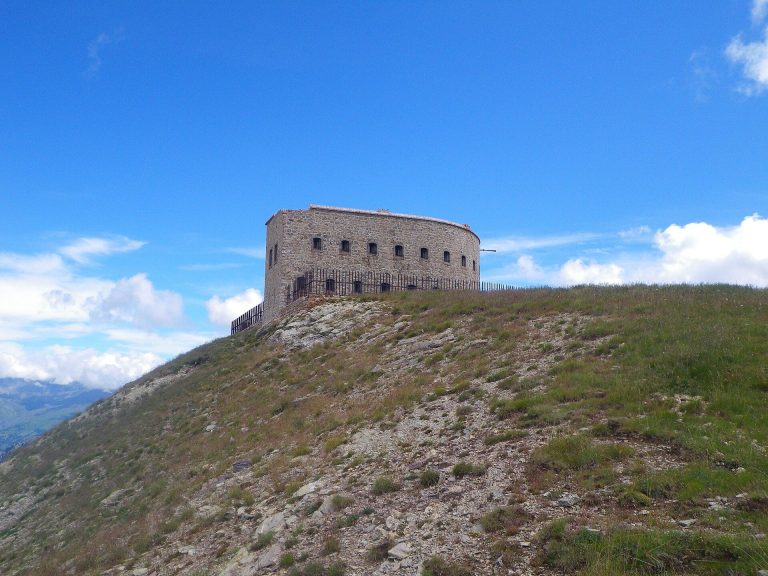
The fort was one of 166 principal forts in the Séré de Rivières program and one of four high-altitude forts detached from Briançon’s central defenses. The other three were Forts de l’Infernet, de l’Olive, and du Gondran. For a time, Croix-de-Bretagne was regarded as the inner stronghold of the fortified position. Its planned garrison numbered 496 men. It could support Fort de l’Infernet, while the blockhouse at Grande-Maye helped bar an advance over the Col de Montgenèvre near the Gondrans. The fort also overlooked the earlier Fort des Têtes.
Armament and military service
The initial armament comprised seven 155 mm guns, five 138 mm guns, and four mortars in 15 cm and 22 cm calibers. An 1881 engineering record assigned twelve 95 mm guns to exterior batteries, groups of gun positions. This plan was later revised to four 120 mm guns and eight 95 mm guns, intended to be stored at the fort. The armament listed in 1894 comprised three 155 mm guns, four 138 mm guns, two 150 mm mortars, and two 220 mm mortars.
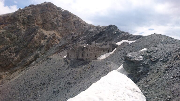
The French Army used the position to defend Briançon until 1940, when the fort formed part of the Fortified Sector of the Dauphiné. It was never upgraded to withstand explosive shells. Proposed concrete improvements, the 1900 restructuring program, and a supplementary program in 1908 were not carried out. The fort is now abandoned.
Remains
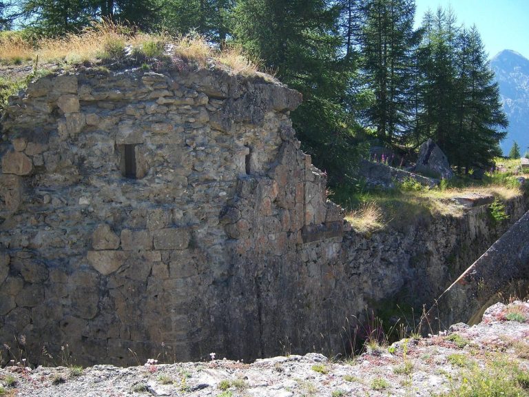
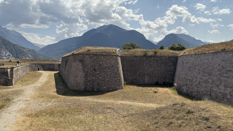
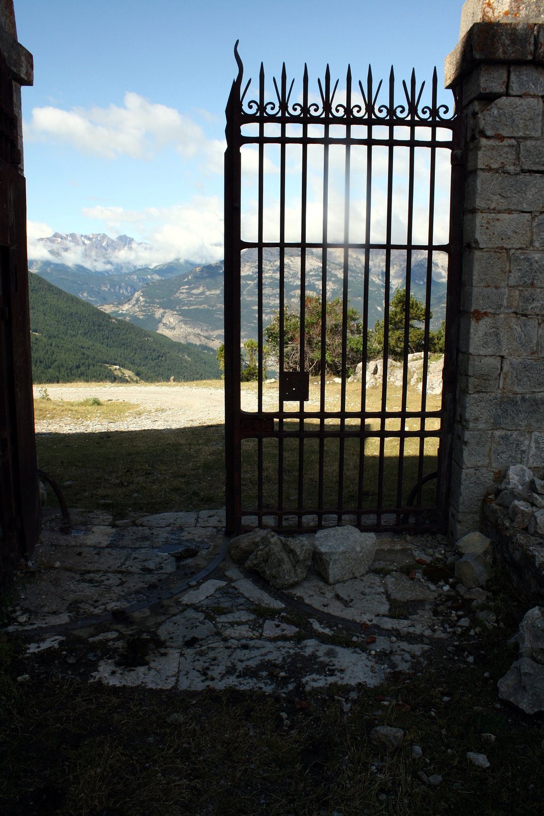
The fort’s irregular, extended perimeter occupies several terraces at about 2,000 m above sea level. It stands above the Durance valley and the road toward Italy, with a courtyard within its defenses. Many of the fort’s defensive iron grilles remain visible.
Courtyard and service buildings
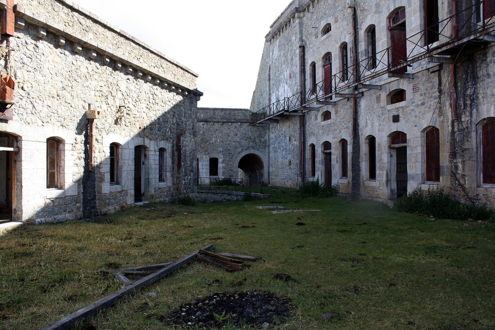
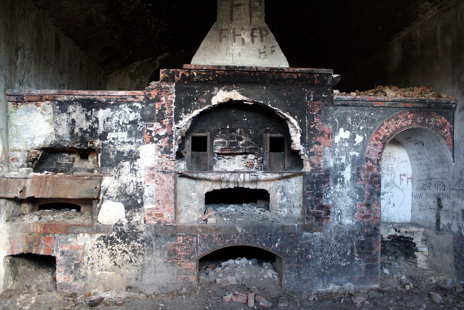
Beyond the entrance gate and guardhouse, a winding path rises toward the fort’s eastern tip, its highest point. Beside the route are barracks with four bays on two levels and an officers’ pavilion opposite; loading workshops lie farther along. The largest building has eight bays across two floors and served mainly as a store. An exterior walkway runs along its upper level. A bread oven was added between 1890 and 1893.
Powder magazines and stores
The site contains three powder magazines, secure stores for gunpowder or ammunition. One small magazine held 47.5 tonnes of black powder, and another had a capacity of 47 tonnes. The larger magazine was rated for 75.5 tonnes but was used in practice to hold 3,150,000 rifle cartridges.
Batteries and associated works
Higher on the path, three branches serve staggered batteries B 23, oriented east-northeast, B 24, facing north-northeast, and B 22, facing northeast. Smaller batteries B 19 and B 20 occupy corners of front I-II. B 20, B 22, and B 23 each have an ammunition shelter. Associated defenses include the Grande-Maye blockhouse on a ridge at 2,407 m and eleven exterior artillery batteries arranged along the access road at elevations from 1,450 m to 2,512 m.