Pavlopetri: A Submerged Prehistoric Settlement in Greece
Site at a Glance
- Popularity
- Very High
- Country
- Greece
- Primary era
- Bronze Age
- Eras represented
- Stone Age, Bronze Age
- Civilizations
- Mycenaean
- Site type
- City
On this page9 sections
History
Settlement and exchange
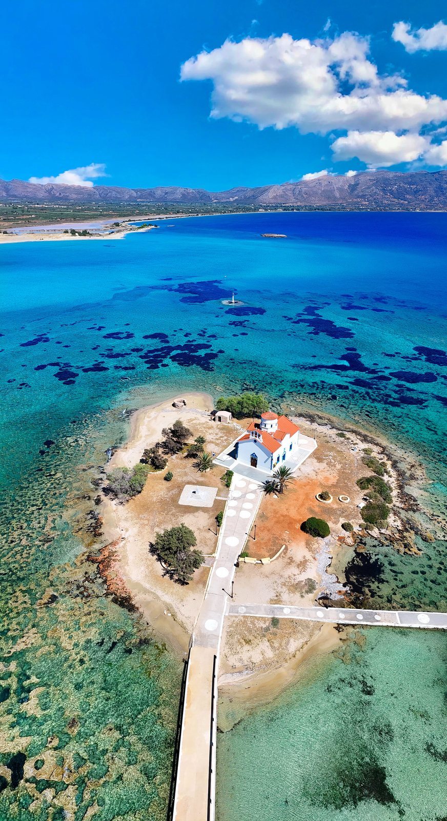
Pavlopetri is a submerged prehistoric settlement in Vatika Bay, off southern Laconia in Greece. Its occupation reaches back to the fourth millennium BCE, and the settlement appears to have served commercial and textile-making purposes. Its ancient name is unknown, and historical records do not identify the town. The modern name comes from a nearby islet and means “Paul’s stone,” referring to Saint Paul, an early Christian apostle.
The earliest finds date to about 3500 BCE. Early interpretations placed the settlement within the Bronze Age, roughly 2800–1180 BCE, and proposed that it flourished around 1650–1180 BCE. A Mycenaean connection was also suggested for about 1600–1100 BCE; the Mycenaeans were a civilization of Late Bronze Age Greece. Cambridge archaeologists assigned finds to Early Helladic II and Late Helladic IIIB, phases of mainland Greece’s Bronze Age. Material from the site also spans the Late Neolithic, the Copper Age, the Bronze Age, and Middle Minoan, a phase of the Minoan civilization on Crete, as well as transitional periods.
The settlement appears to have been connected to wider Aegean exchange. Its position near the hazardous waters around Cape Malea may also have made it a trading or support point on routes linking the Cyclades, the Aegean island group, Crete, and settlements in western Europe.
Submergence and changing coastline
Pavlopetri stood about two to three metres above sea level in the fourth millennium BCE. By around 1200 BCE, rising water had left it only about a metre above sea level, making flooding increasingly likely. The settlement is thought to have gone underwater around 1000 BCE during the first of three regional earthquakes. A 2010 reconstruction of the area proposed that submergence resulted from gradual land subsidence caused by three or four earthquakes combined with rising sea levels. Tectonic activity between 480 and 650 CE lowered the terrain by about three metres; sea level had also risen approximately 1.5 metres since 1200 BCE.
Elafonisos was once connected to the Peloponnese, and the earthquake of 375 CE is associated with its separation from the mainland. That earthquake also caused tsunamis and submerged nearby Gythion, the port of Sparta. In 1677, Elafonisos, then about 500 metres offshore, could still be reached by wading. Ancient writers Pausanias and Thucydides refer to Onou Gnathos, an isthmus and rocky coast identified with the area around Elafonisos.
Rediscovery and investigation
Geologist Fokion Negris first noted the underwater walls in 1904. Nicholas Flemming, a researcher at the United Kingdom’s National Institute of Oceanography, rediscovered the settlement in 1967 and received permission from Laconia’s regional antiquities official to investigate it. He assembled a seven-person team associated with Cambridge University’s informal Underwater Research Group. Cambridge archaeologists mapped the site in 1968.
Work in 2009 used sonar techniques developed for military and oil exploration, as well as purpose-built underwater robots. Researchers from the University of Nottingham worked with the Australian Centre for Field Robotics and the Greek government. The survey covered about 9,000 square metres and made Pavlopetri the first submerged town to be digitally mapped in three dimensions. In 2010, the Hellenic Centre for Marine Research used stereo-photogrammetric data to reconstruct the ancient shoreline and study the area’s changing land and sea levels. Excavations in 2011 recovered deposits associated with Minoan Crete. Because the settlement remained underwater, it was not built over or disturbed by agriculture. Pavlopetri is protected under UNESCO’s 2001 Convention on the Protection of the Underwater Cultural Heritage, a treaty for safeguarding traces of human existence submerged for at least 100 years.
Remains
Setting and town plan
The ruins lie about three to four metres below the water in Vatika Bay, between Pavlopetri islet and the Pounta coast, near Elafonisos. The mapped settlement covers roughly 300 by 100 metres. Five streets, buildings, and graves form an unusually complete town plan that remains legible despite centuries of erosion.
Buildings and drainage
Fifteen buildings have been identified, some containing as many as 12 rooms. A complex drainage system runs through the settlement and is associated with the threat of flooding as sea levels rose.
Burial places
The settlement includes two chamber tombs, burials formed within chambers, and 37 cist graves, stone-lined or stone-covered burial boxes. The two burial forms have been interpreted as evidence of differences in social status.
Finds and the route to Elafonisos
Excavated material includes objects of Cycladic origin, loom weights, and large pottery storage jars from Crete. Deposits recovered in 2011 provide further material evidence of connections with Minoan Crete. On the northern side of Elafonisos, cuts in the rock were used to move goods by cart and indicate a route linking the settlement with the island.