Sirkeli Höyük: A Multi-Period Settlement in Turkey
Site at a Glance
- Popularity
- Medium
- Country
- Turkey
- Primary era
- Bronze Age
- Eras represented
- Bronze Age
- Civilizations
- Hittite
- Site type
- City
On this page12 sections
History
Sirkeli Höyük is an ancient settlement in Turkey whose occupation began around 5000 BC and continued until about AD 100. Its long history spans the Chalcolithic, or Copper Age, when copper began to be used alongside stone; the Bronze and Iron Ages; the Hellenistic period, following Alexander’s conquests and the spread of Greek culture; and the Roman period. The site lay on a route from northern Syria through the Cilician Gates, a mountain pass linking Cilicia with central Anatolia. This position may have made it a crossing point for military campaigns into Syria, including those of the Hittite king Muwatalli II.
Settlement and Hittite associations
Occupation continued through the Bronze Age, around 3000–1200 BC, and Iron Age, around 1200–300 BC. Later Iron Age remains, dating to about 1000–700 BC, are associated with Neo-Hittite cultures that followed the Hittite Empire and with the Phrygians, an ancient Anatolian people. Muwatalli II fought the Egyptian pharaoh Ramesses II at Kadesh, a Hittite-Egyptian battle in Syria. Two Hittite rock reliefs at Sirkeli are linked to royal figures, including Muwatalli.
The ancient name of the settlement is uncertain. Sirkeli has been proposed as Lawazantiya, also called Lusanda in Assyrian and Loandos in Greek, an ancient trade and cult city associated with the Hittite queen Puduḫepa. A more recent identification favors Kummanni, known in Assyrian as Kisuatni, but this proposal is also uncertain. If Sirkeli was Lawazantiya, it was Puduḫepa’s home city. She was the daughter of a priest of Šauška, a goddess associated with love, and the wife of Ḫattušili III. Her husband concluded a peace treaty with Ramesses II, described as the oldest known peace treaty.
Archaeological investigations
Adana Museum director Ali Riza Yalgın brought the rock relief to the attention of Ignace Gelb in 1934. John Garstang opened five small test trenches at the mound in 1936, and M. V. Seton-Williams surveyed it in 1951. Excavations followed from 1992 to 1996 under Barthel Hrouda of the University of Munich and the Bavarian Academy of Sciences. Horst Ehringhaus led a further campaign in 1997. Work resumed in 2006 with the University of Tübingen; from 2011, the project also involved the University of Bern and Çanakkale Onsekiz Mart University. Mirko Novák and Ekin Kozal led the excavations until 2013, followed by Deniz Yaşin-Meier from 2014.
Remains
Settlement layout
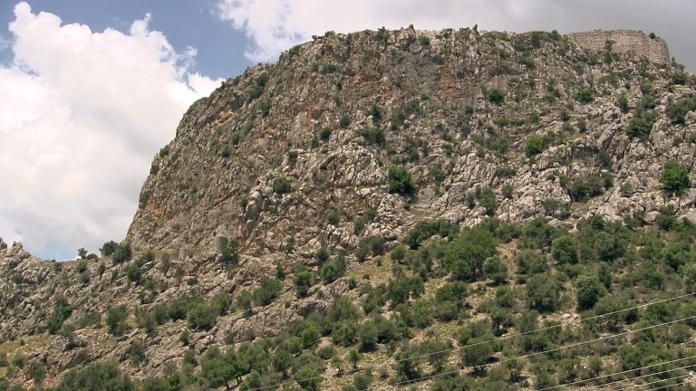
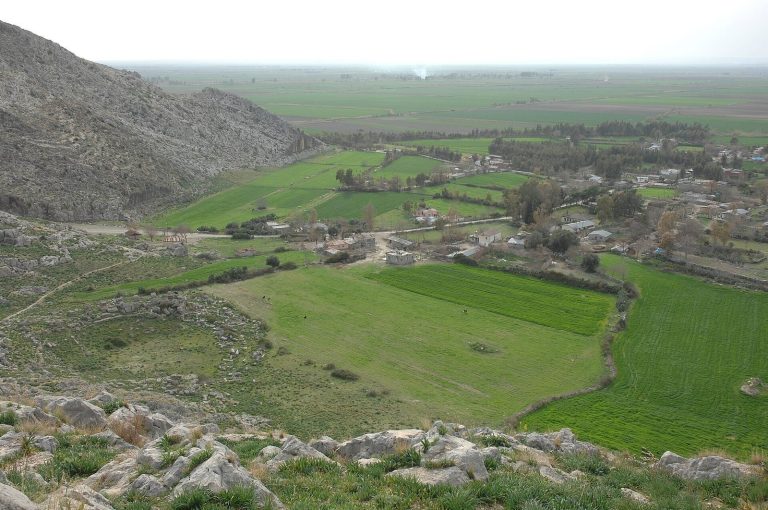
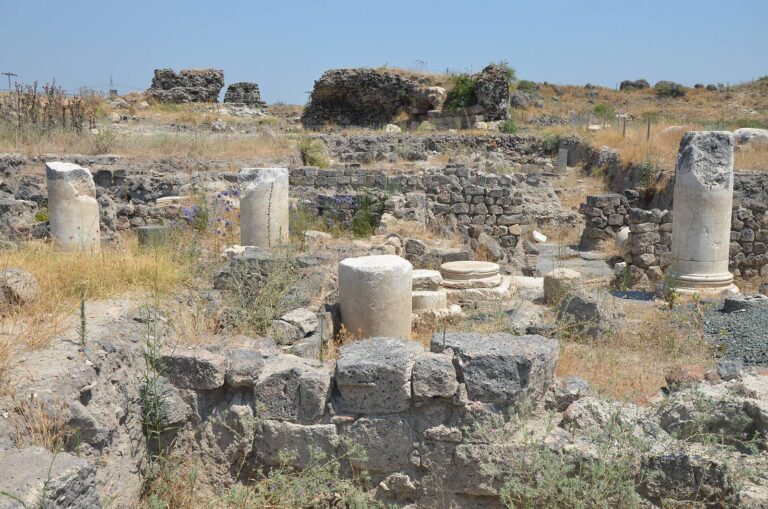
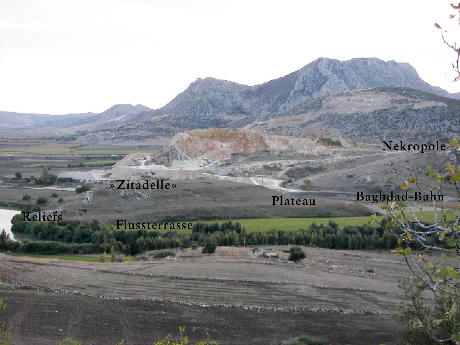
The archaeological site covers about 80 hectares. Its principal mound is oval, approximately 300 by 400 metres and 30 metres high, with a trapezoidal extension projecting north. A rocky ridge crosses the mound from southwest to northeast. The lower town spread to the south and southeast and was enclosed by a double city wall. Within the walls, the upper town occupied hilltops south and southwest of the mound and included a cemetery with chamber tombs. Workshops stood outside the walls, while a suburb extended across the river.
Rock reliefs and ritual complex
Muwatalli II relief
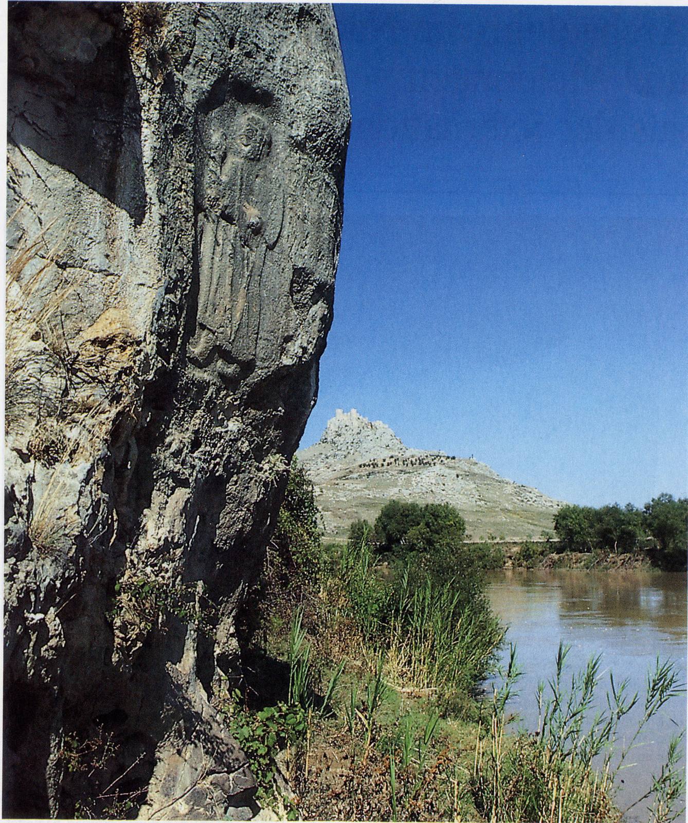
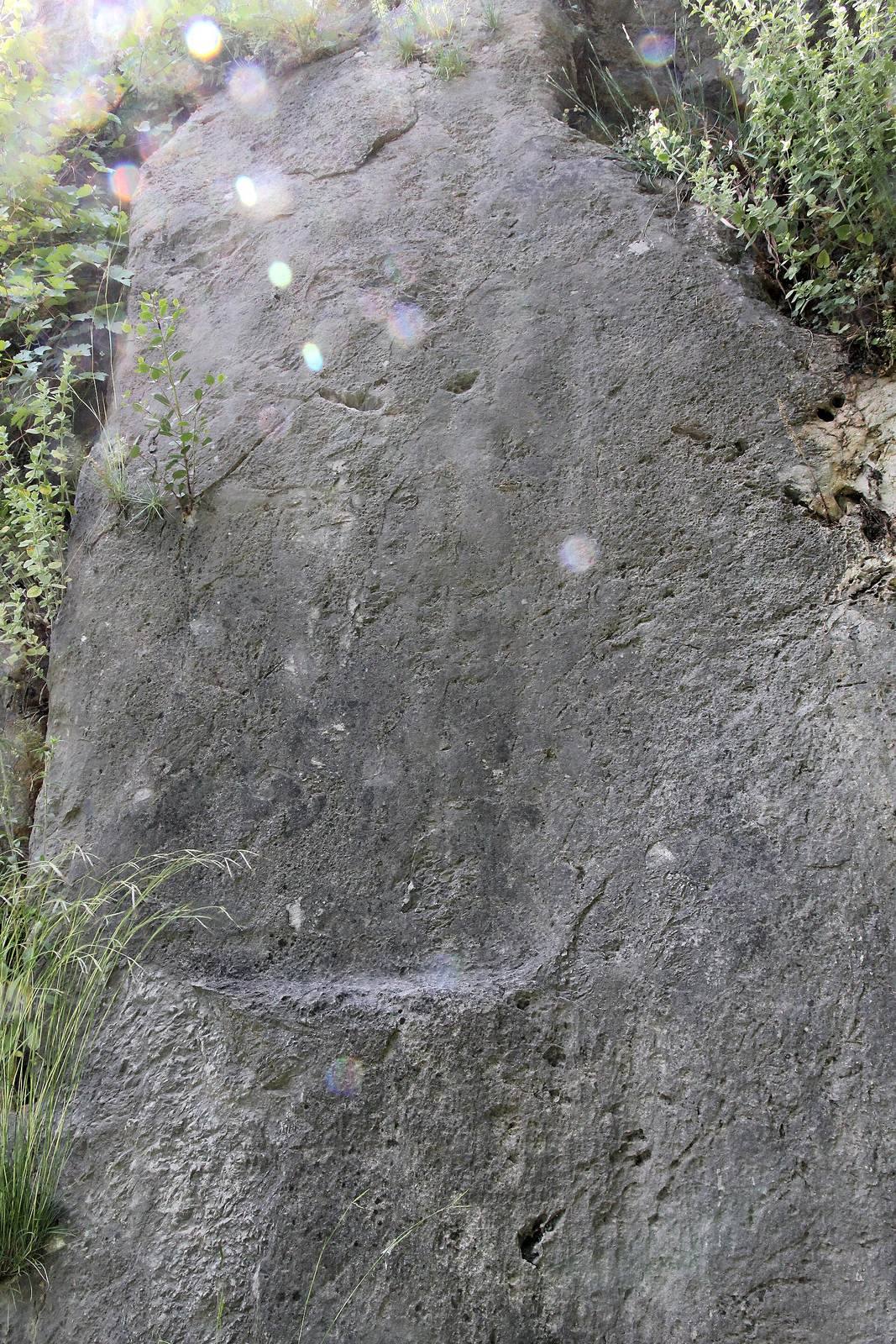
Near the northeastern edge of the rocky ridge, on the slope above the river, the better-preserved relief shows Muwatalli II facing left. He wears a long garment, rounded cap, and pointed shoes; the garment’s hems and folds remain visible. The figure is beardless and has long hair. A chipped area has damaged the face, whose features were once discernible. He holds a curved staff in his left hand and raises his right hand near his face in a gesture resembling the Luwian hieroglyphic sign for ‘I’. Luwian hieroglyphs were a writing system used in ancient Anatolia. An inscription behind the figure identifies him as Muwatalli. The relief is among the oldest known Hittite rock reliefs.
Second relief
A nearby relief was chiseled away in antiquity. It is commonly identified as Kurunta, a Hittite prince, but may more likely have depicted Muršili III, also known as Urḫi-Teššup. Muršili was a son of Muwatalli and brother of Kurunta, and was later deposed by Ḫattušili III. The relief may have been erased after Muršili’s deposition.
Ritual installations
Several basin-like hollows cut into the rock above the reliefs appear to have been used for libations, ritual offerings made by pouring out liquid. They formed part of a larger complex that included a substantial stone-built structure immediately to the west, constructed against the ridge. The complex is interpreted as a cult place for the Hittite Great King, the royal title of the ruler.
Excavated finds
Pottery and small finds
Finds include painted Middle Bronze Age Syro-Cilician Ware, a pottery category associated with Syria and Cilicia, dating to about 2000–1500 BC, as well as fired-clay objects in a North Syrian style. Hittite jugs with beak-shaped spouts date to about 1600–1300 BC. Painted vessels influenced by Cyprus belong to the Late Bronze and Iron Ages, about 1500–600 BC. Phrygian and Levantine fibulae, brooches used to fasten clothing, date to around 700 BC. Phoenician glass beads include examples shaped like faces.
Administrative and carved objects
A stone column base shaped as two lions is in a Late Hittite style and dates to about the tenth century BC. Seals and seal impressions come from several periods. Excavations also yielded numerous metal tools and weapons. The range of objects points to cultural connections and trade with surrounding regions.