Tel Kudadi: An Ancient Fortress Site on the Yarkon River
Site at a Glance
- Popularity
- Medium
- Country
- Israel
- Primary era
- Iron Age
- Eras represented
- Iron Age, Classical, Modern
- Civilizations
- Achaemenid, Assyrian, British
- Site type
- Military
- Remains
- Fort
On this page10 sections
History
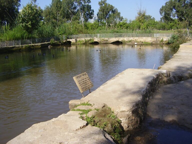
Tel Kudadi is an archaeological mound on the Yarkon River’s northern bank in Tel Aviv, Israel, near the river’s outlet to the Mediterranean. It is known for two successive first-millennium-BCE fortresses, although their dates and purpose remain debated. The site overlooked a historic trade route across the coastal plain between Egypt and the Levant. Its position beside a shallow river crossing allowed its rulers to monitor caravans and trading ships. In some periods, the Yarkon also marked a political, social, and cultural boundary.
Fortresses and contested chronology
Early interpretations placed the first fortress in the tenth or ninth century BCE. Shmuel Yeivin associated it with Solomon, the biblical king traditionally linked to an early Israelite monarchy, while Nahman Avigad connected it with the Kingdom of Israel, an ancient kingdom in the northern part of the southern Levant. They dated the later fortress’s destruction to the late eighth century BCE and linked it to the 732 BCE campaign of Tiglath-Pileser III, king of the Neo-Assyrian Empire, a Mesopotamian power that extended its rule across much of the Levant. Seventh-century pottery was taken as evidence that the site remained in use afterward.
A later reassessment by archaeologists Oren Tal and Alexander Fantalkin rejected the Israelite dating and placed construction no earlier than the late eighth century BCE, under Assyrian rulers or subordinate local rulers. They interpreted the fortresses as part of a chain of Assyrian coastal strongholds and dated the site’s abandonment to sometime after 650 BCE, around the empire’s withdrawal from the region. Another interpretation sees the fortresses as an outpost of the harbor at Tel Qasile, protecting the Yarkon estuary and serving as a trading station in peacetime. This view attributes their destruction in 732 BCE to a revolt against Assyrian taxation.
Later settlement and modern use
Settlement continued from the Persian period, when the region was under Achaemenid rule, through the end of the Byzantine period, the later phase of the eastern Roman Empire. The Persian-period settlement included a notable Phoenician presence. Phoenicians were an eastern Mediterranean people known for maritime trade.
During the First World War, Ottoman forces used the mound as a stronghold. After the British victory, a memorial was erected to commemorate the British crossing of the Yarkon.
Excavation and preservation
Work on a local lighthouse exposed the mound in 1934. Surveyor Jacob Ory examined the area after it had apparently been looted. P. L. O. Guy carried out a trial excavation in 1937, followed by excavations led by Eleazar Sukenik and Yeivin, with Avigad’s assistance, from November 1937 to March 1938. The site was excavated again in 1941 as part of a preservation plan and in 1966 before the Reading Power Station was expanded.
Construction connected with the power station, along with the mound’s flattening between 1936 and 1938, severely damaged the remains. The Israel Antiquities Authority carried out preservation and strengthening work in 2007.
Remains
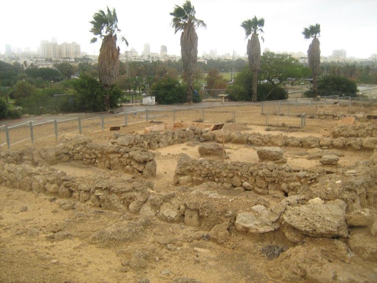
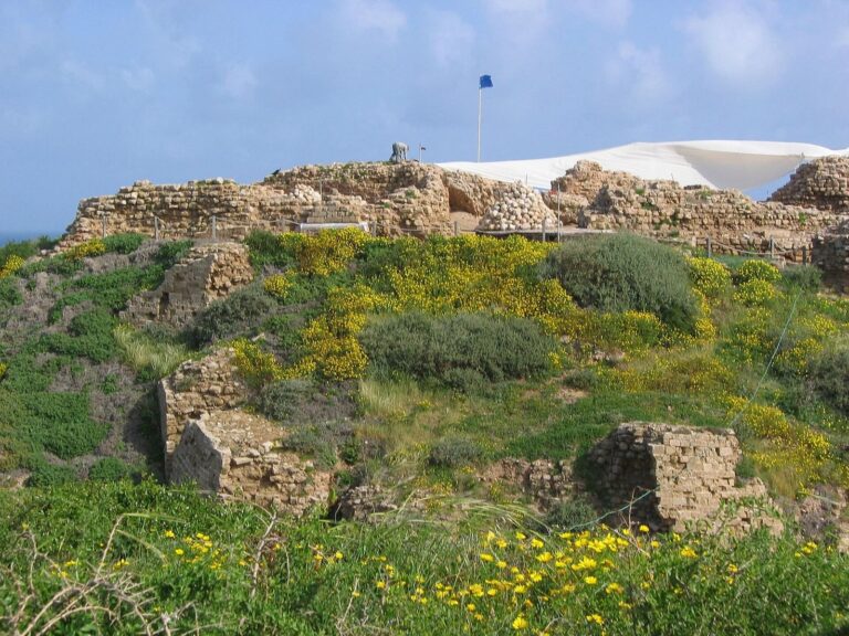
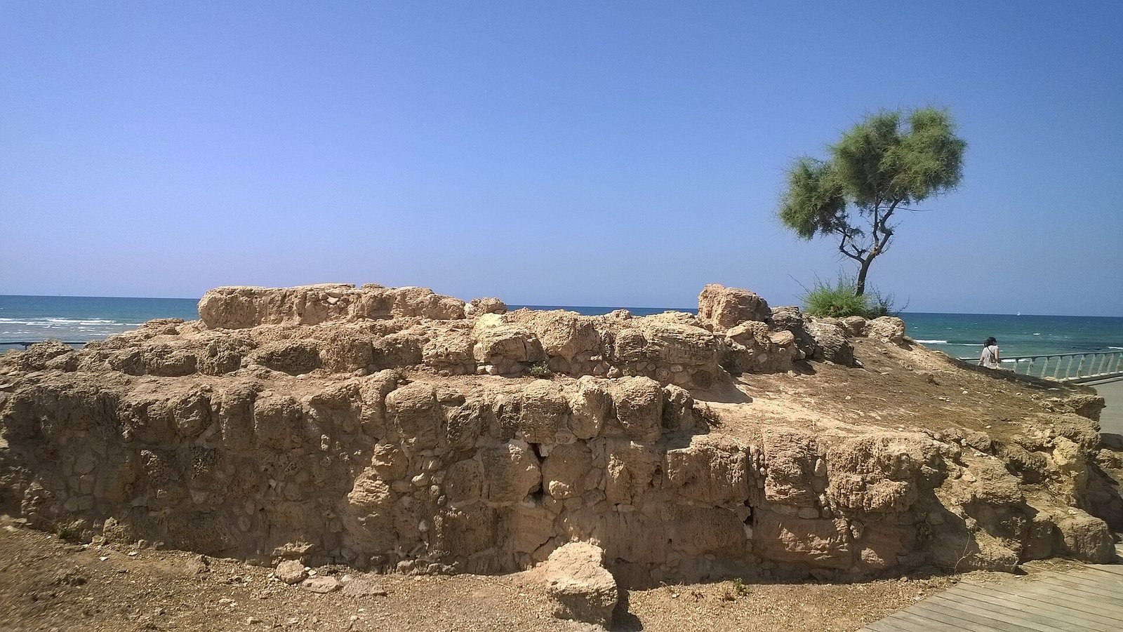
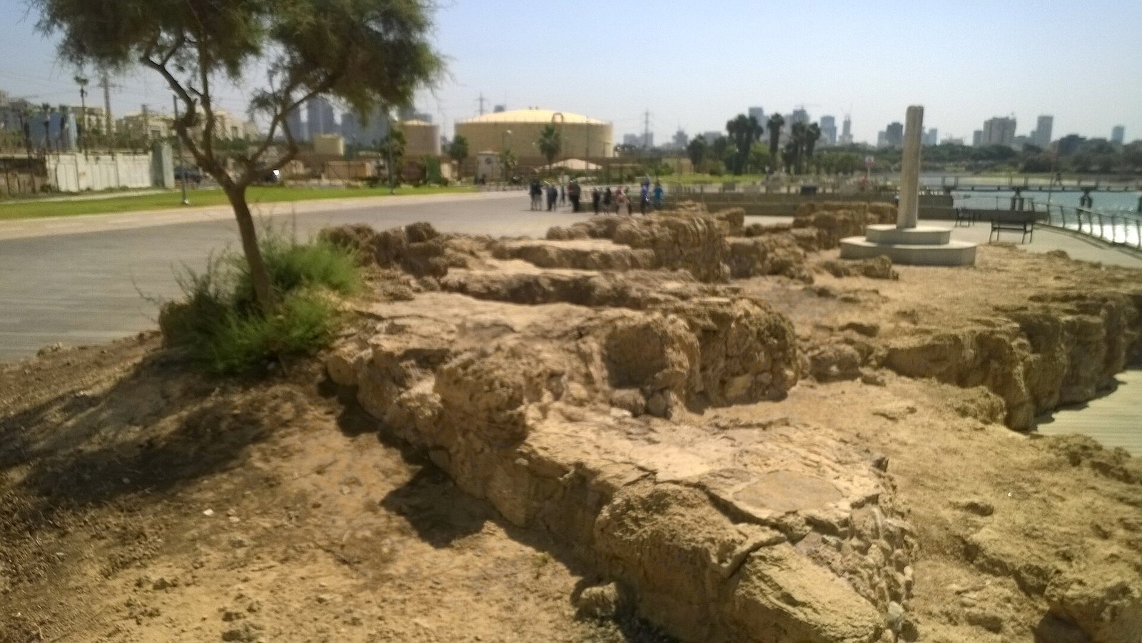
The mound stands on the Yarkon’s northern bank and once rose a few metres above sea level. Its fortress plan included a central courtyard enclosed by broad walls, with inner walls made of mudbrick. The remains are now barely visible, and some fortress walls were probably washed away by the sea.
Archaeological and commemorative remains
Fortress walls and courtyard
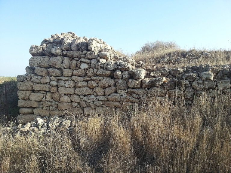
The fortress walls were founded on sandstone and reached up to 7 metres in width, surviving to a maximum height of 3 metres. The eastern wall remains for a length of 33 metres, and the northern wall for 17 metres. An entrance through the eastern wall led into the central courtyard. In a later phase, a gate 4 metres wide was approached by a paved road. Two layers of burning point to violent destruction.
Persian-period wall
Guy’s trial excavation uncovered a wall dating to the Persian period, between the sixth and fourth centuries BCE.
Pottery and amphora
Pottery recovered from soil above the fortress ruins includes material from Early Bronze III, a phase of the Early Bronze Age, as well as the Persian, Byzantine, and Early Arab periods. Early Arab is a broad term for the first centuries of Arab rule in the region. A Greek amphora, an oil-storage jar, from the island of Lesbos was also found at the site. It is the earliest known example of Lesbos pottery in the Mediterranean region and may have arrived aboard a trading ship.
British memorial pillar
A pillar at the mound is one of three memorials commemorating the British crossing of the Yarkon. It incorporates an inscribed marble stone brought from Apollonia-Arsuf, about 12 kilometres to the north. The 2007 preservation work also included a wooden deck around the site.