Nuraghe Ardasai: A Nuragic Tower Complex in Sardinia
Site at a Glance
- Popularity
- Low
- Country
- Italy
- Primary era
- Bronze Age
- Eras represented
- Bronze Age, Classical, Modern
- Civilizations
- Nuragic, Roman
- Site type
- Military
- Remains
- Tower
On this page14 sections
History
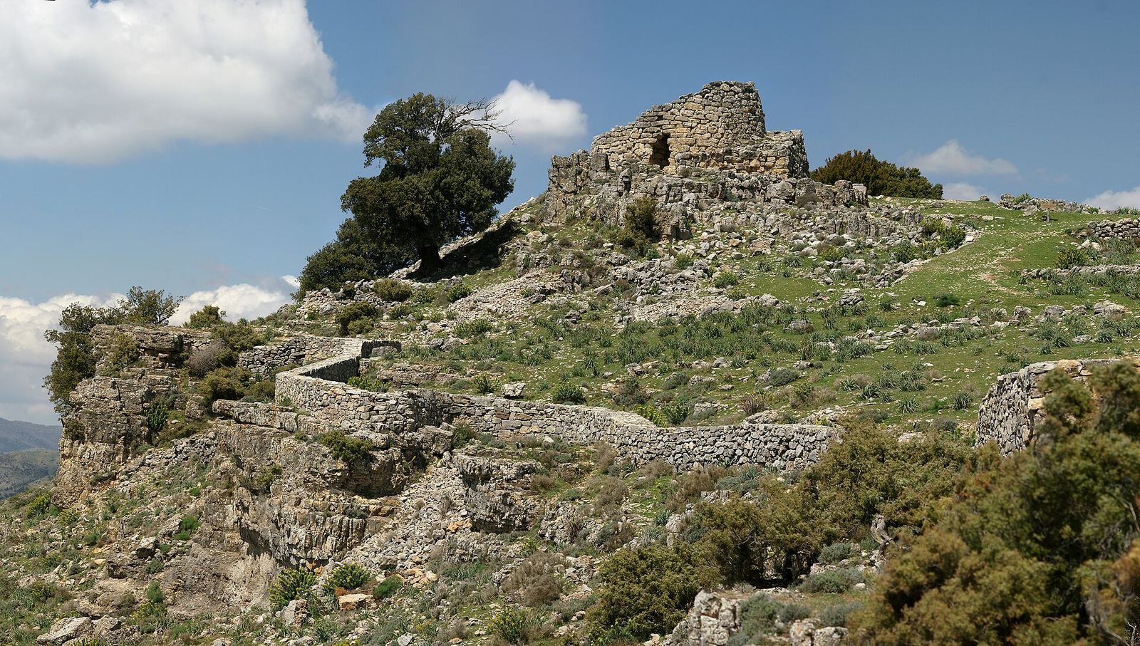
Nuraghe Ardasai is a Nuragic archaeological complex near Seui in Sardinia, Italy, centered on a stone tower built by the island’s Bronze Age Nuragic culture. A nuraghe is a prehistoric stone tower characteristic of Sardinia. The complex is assigned to the Middle Bronze Age.
Bronze Age and Roman-period activity
Pottery from the tower chamber indicates activity from the late Middle Bronze Age into the beginning of the Late Bronze Age. Later use appears to have been sporadic. Roman pottery points to activity in the Roman period, while Campanian pottery, a ceramic ware associated with Campania in southern Italy, found outside the tower dates to the late second or early first century BCE.
Modern reuse and archaeological work
In the 1970s, a local resident used the tower as a private dwelling. Collapsed material was cleared, damaged sections were rebuilt, and modern alterations were made. From 1999, these installations were removed and archaeological material was recovered to help identify the complex’s phases. The finds had no stratigraphic context, meaning their positions in a sequence of deposits were not preserved. Dating has therefore also relied on relationships between masonry and construction methods. The site remains in precarious condition.
Remains
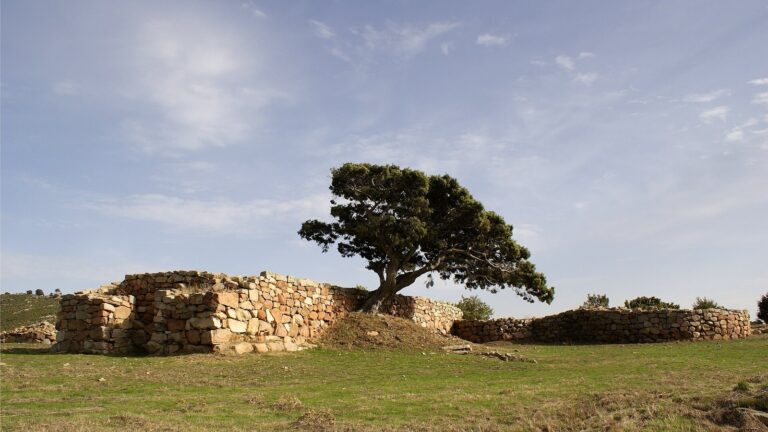
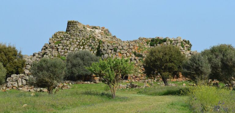
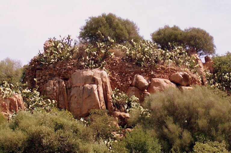
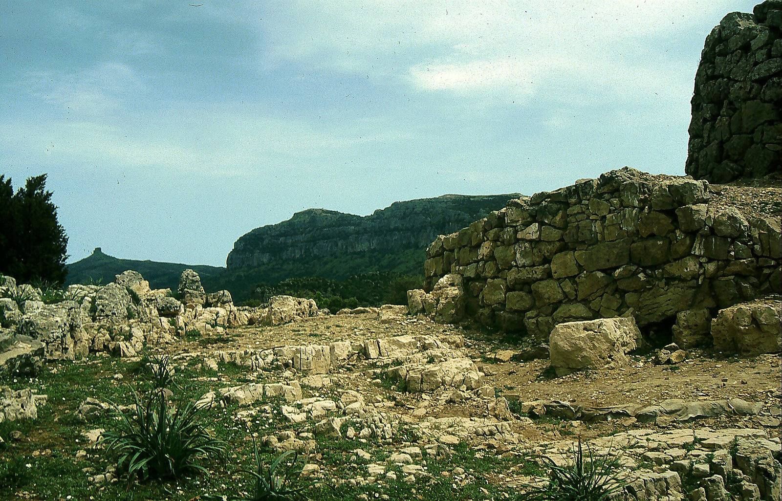
The complex occupies rocky ground about 1,015 m above sea level. The main tower stands on a spur edged by steep rock faces, with a sloping approach on the southeast. The settlement lies on flatter ground below. Two smaller nuraghi, partly screened by vegetation, and remains of curtain walls, walls linking or enclosing structures, accompany the main tower. A separate circular or oval masonry structure incorporates natural rock. A Nuragic sacred spring, a natural water source with religious associations, lies near the settlement.
The central tower
Outer form and masonry
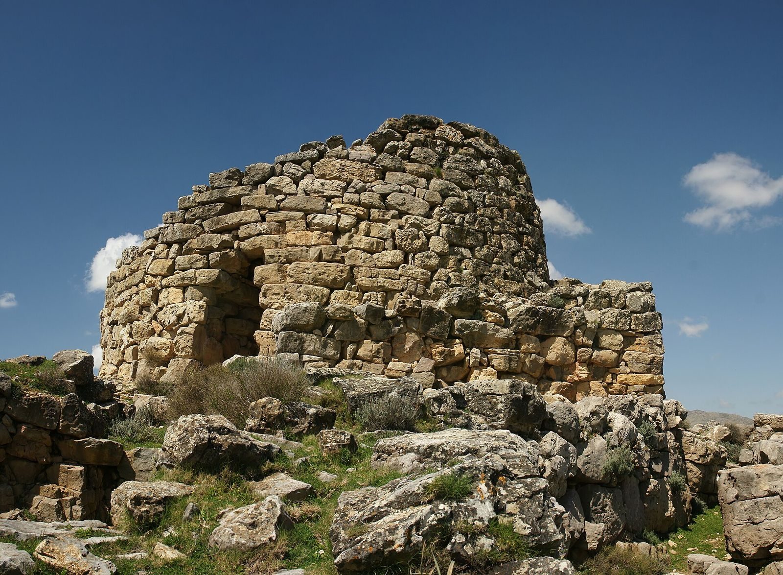
The tower survives to about 1 m high on the west and 6.5 m on the east. Its outer face slopes markedly. It becomes uneven higher up, where a collapsed section and displaced blocks have altered its outline. On the eastern side, a well-preserved upper course consists of large, regular blocks set about 25 cm in from the course below. The tower once had multiple storeys, but only its lowest storey survives.
Entrance and staircase
The entrance is 0.9 m wide and 3 m high, opening onto a passage 4.4 m long. The passage has a pointed but flattened upper profile that sags slightly. Heavy roof slabs place uneven pressure on the masonry and have split several blocks. The passage was altered during the 1970s, including the addition of paving.
About 1 m inside the entrance, a spiral staircase begins. Its regular steps are formed from rectangular stone blocks. The stairs were blocked at an unknown time, perhaps during rebuilding or because collapses on the rocky spur raised concerns about the tower’s stability. They may have led to a summit terrace or to a second room that no longer survives. Access could also have been through collapsed parts of the structure or by removable means that have not lasted.
Chamber
The chamber is irregular rather than circular, measuring 2.8 m east to west and 3 m north to south. Its floor combines smoothed natural rock with limestone slabs of different shapes and sizes. The builders followed the exposed bedrock, varying the tower’s outer face in height by as much as 50 cm to fit the rock and support the foundations. A wooden floor probably divided the chamber into two levels and may have provided access to an oval recess above the passage.
A narrow vertical hole, about 10 cm across, runs from the tower top to the passage near the entrance. Its closeness to the entrance argues against its use as an air opening; it may instead have served a construction purpose.
Outer additions
Stone facing
In a later phase, builders added a substantial outer facing of limestone blocks around the tower. The stone was probably quarried nearby. Unlike the tower’s more regular courses, this facing uses large, irregular polygonal blocks, with wide gaps tightly packed with stone.
Larger attached space
One attached space has an irregular plan and is built from large blocks. It was probably roofed and may have served for storage or another service purpose, or connected the tower with other structures.
Smaller attached space
A second, smaller space is also irregular in plan and uses the same type of masonry. Together, the additions expanded the tower’s functions without forming lateral towers.
Settlement remains
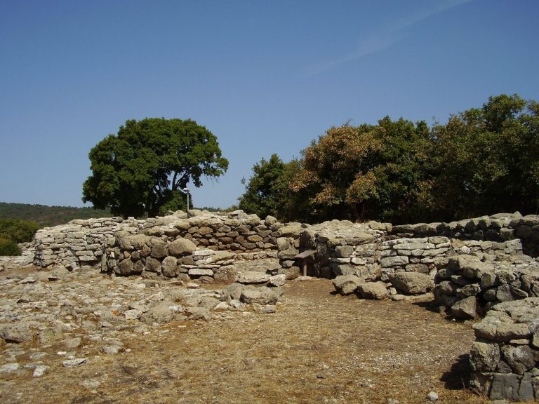
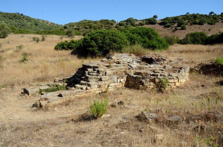
Remains of huts and walls occupy the level area at the foot of the spur. Parts of the settlement are obscured by livestock enclosures, while low walls on the slope form terraces and animal pens. Survey finds include Nuragic and Roman pottery. The walls include straight sections built from small, fairly regular blocks, mostly schist, and curved sections made from large limestone blocks. Their construction and plan suggest that the schist walls belong to the Roman phase and the limestone walls to the Nuragic phase.
Giants’ Tomb
A small Giants’ Tomb stands at the settlement’s southeast edge. This is a type of Nuragic burial monument; its traditional name does not mean it was built for giants. The tomb measures 7.35 m overall. Its exedra, the forecourt before the burial chamber, has a curved front made with three layers of thin slabs, with stones and earth filling the gaps. The slightly flared entrance measures 52 cm across at the opening and 57 cm inside. Beyond it, the burial chamber is 0.70 m wide and 4.80 m long. Its double stone facing encloses a 50–60 cm-thick core of stones and earth; the outer facing combines worked blocks with irregular stones.