Roman Mines of Tresminas: A Roman Gold-Mining District in Portugal
Site at a Glance
- Popularity
- Medium
- Country
- Portugal
- Primary era
- Classical
- Eras represented
- Classical
- Civilizations
- Roman
- Site type
- Economic
- Remains
- Mine
On this page18 sections
History
The Roman Mines of Tresminas are a Roman gold-mining district in the Serra da Padrela in northern Portugal. Mining appears to have begun soon after Rome’s conquest of the territory that became the province of Lusitania began in 27 BC, under Augustus, Rome’s first emperor. Tresminas formed part of Roman efforts to control mineral resources in the Iberian Peninsula.
Roman mining
The district’s main period of gold extraction probably fell between about AD 50 and 150. Intensive mining continued until around AD 193–211, when industrial-scale operations ended, perhaps amid economic and administrative changes under the Severan dynasty, which ruled from AD 193 to 235. Smaller-scale extraction may have continued, possibly by local inhabitants. Engineering works at the mines are attributed to the Seventh Legion, a large unit of the Roman imperial army; part of the legion remained at the site.
The total gold taken from Tresminas is unknown. One estimate for the major open cuts suggests that workers removed 15–20 million tonnes of rock and ore over about 150 years, yielding approximately 15,000–20,000 kilograms of gold, or 100–130 kilograms a year. The raw ore also contained substantial silver, reported at a ratio of about 1:10. Pliny the Elder, a Roman writer and naturalist, separately cited 6.5 tonnes of gold from secondary deposits, mineral concentrations redeposited after erosion. He served as a Roman official in Hispania Tarraconensis in AD 72–74, but his figure is not a production total for Tresminas.
Later history and recognition
After industrial mining ended, the workings remained largely undisturbed. Surveys using three-dimensional laser scanning began in 2010 in several shafts and extraction areas. The site became a Property of Public Interest in 1997 and was reclassified as a National Monument in 2024. It now functions as an interpretation center.
Remains
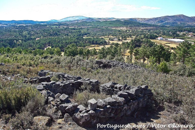
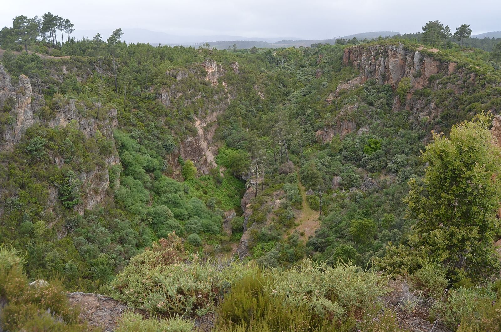
The archaeological district covers about two square kilometres in the Serra da Padrela, within the parish of Tresminas in the municipality of Vila Pouca de Aguiar. Its remains include large open excavations, underground galleries and shafts, ore-processing areas, and waterworks. The workings follow gold-bearing deposits, and the principal cuts have deep, ravine-like forms.
Open cuts
Covas open cut
The Covas open cut (Corta de Covas) extends for about 430 metres and reaches approximately 60 metres in depth. Erosion has affected its present depth.
Ribeirinha open cut
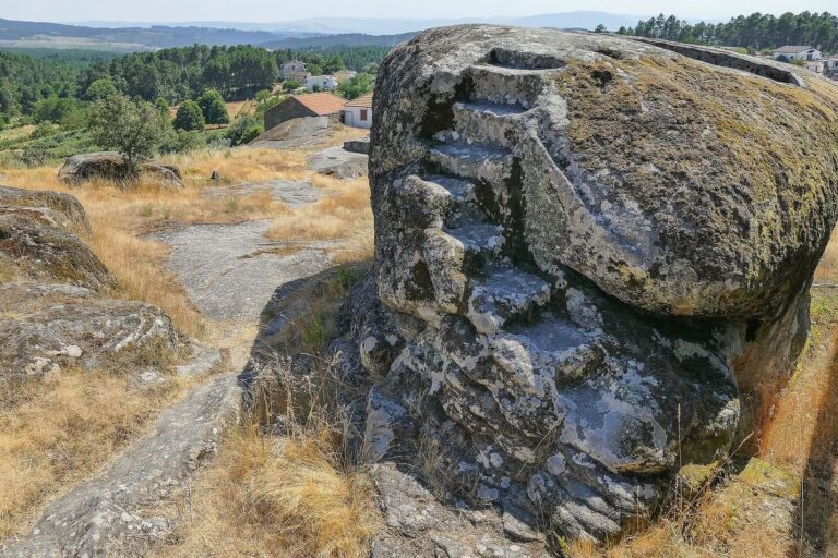
The Ribeirinha open cut (Corta da Ribeirinha) is about 370 metres long and more than 100 metres deep. Stone steps were cut into its steep face.
Laginhos collapse
The Laginhos feature (Corta dos Laginhos) formed when an underground gallery collapsed, rather than through open-cut excavation. The resulting surface cutting is about 9 metres deep and 5–6 metres wide, and extends approximately 60–100 metres.
Galleries and shafts
Pilar Gallery
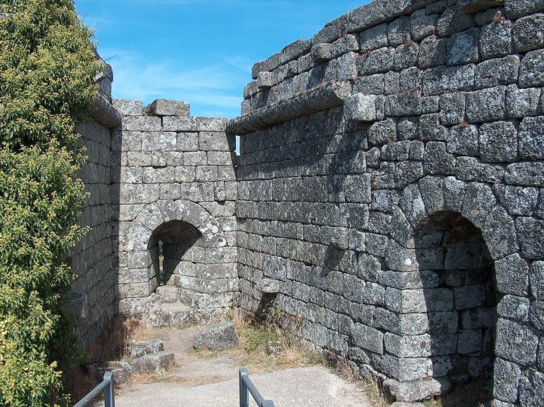
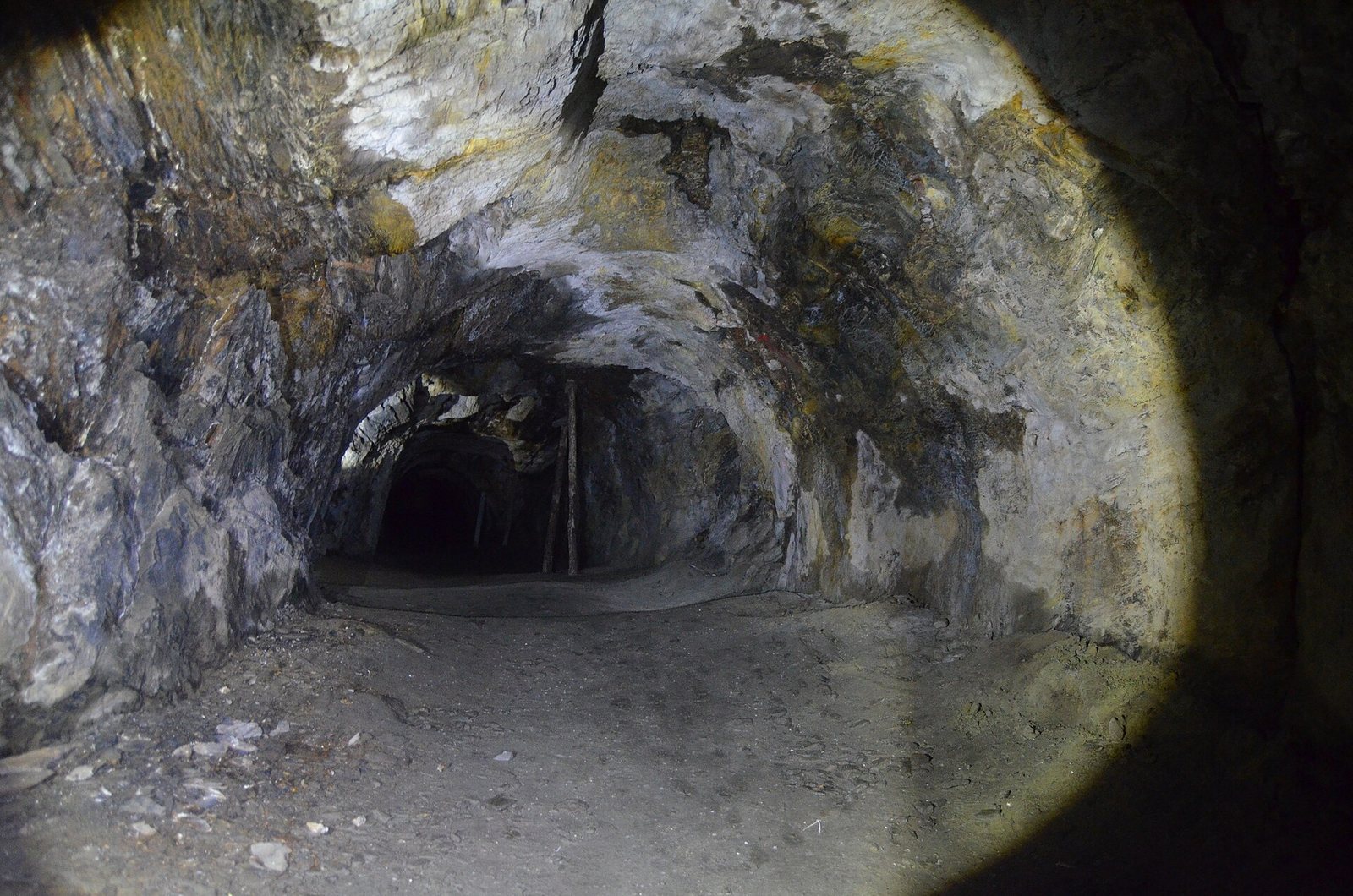
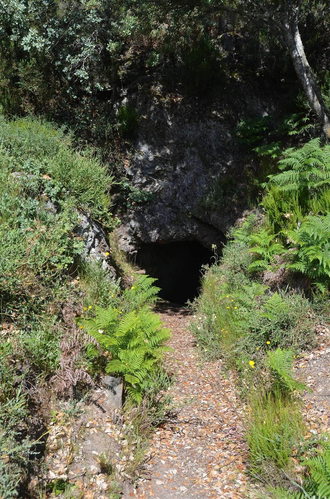
Five galleries extend from the major cuts into the rock. They were used to search for further deposits, extract ore underground and, in some cases, drain the open workings. The longest, the Pilar Gallery (Galeria do Pilar), is approximately 250–300 metres long and provides access to the Covas cut. It runs straight through the rock, with a masonry pillar supporting a shaft for light. A round chamber lower down held equipment for raising material.
Other galleries
The other named galleries are the Texugo Gallery, about 80 metres long; the Alargamentos and Morcegos galleries, each about 150 metres; and the Buraco Seco Gallery, about 90 metres. Gallery widths, wheel ruts and passing places point to cart transport, while grooves in the floors are attributed to ox-cart wheels. A collapsed section of the Alargamentos Gallery preserves evidence of an ancient effort to rescue miners trapped by a cave-in.
Ribeirinha shaft
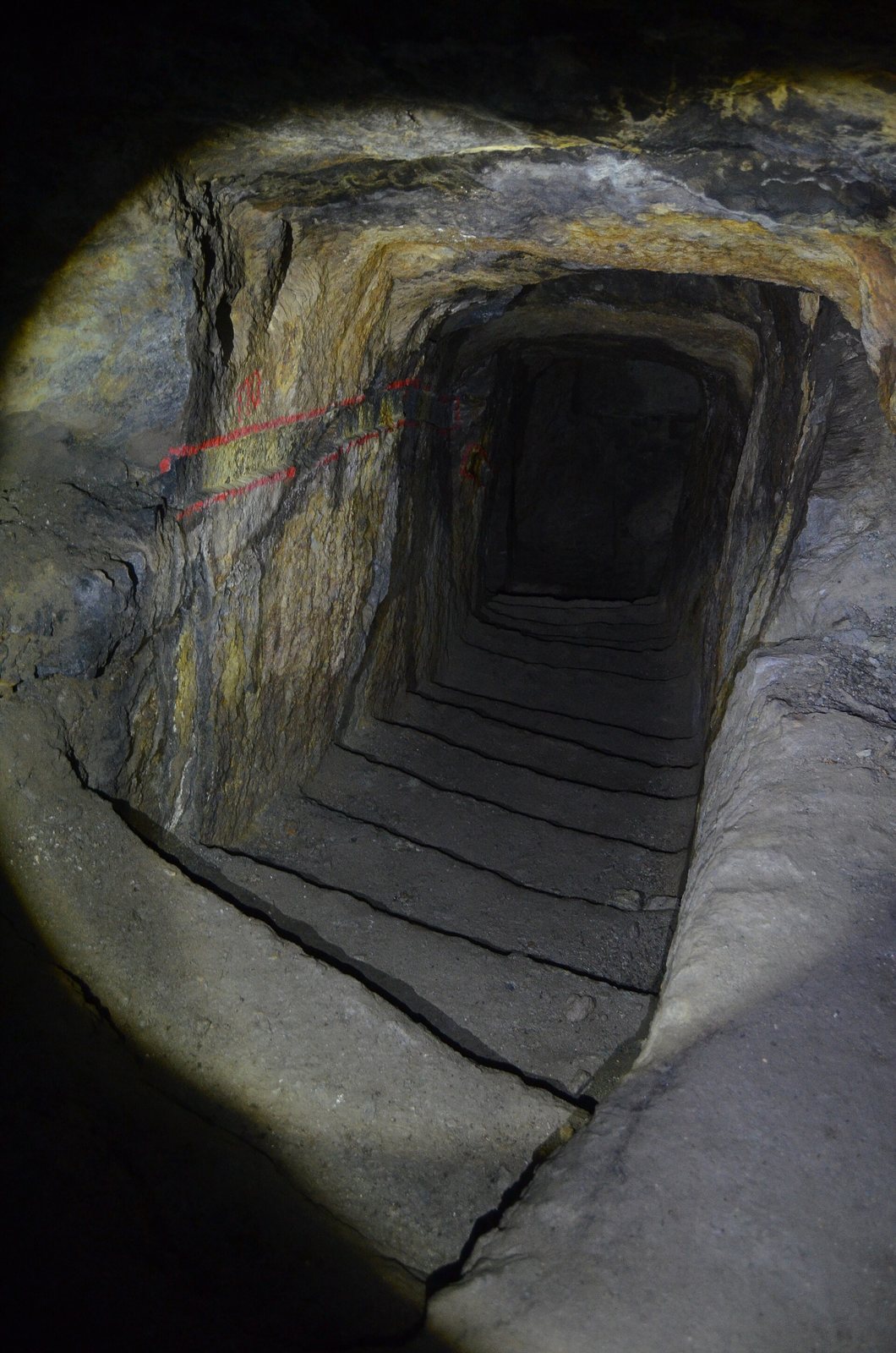
A prospecting and extraction shaft at the Ribeirinha cut consists of turning stairways and short passages arranged in a spiral.
Residential and processing areas
Residential zones
Residential areas lie within the extraction district. Excavations there recovered pottery and coins dating to the first third of the first century AD.
Ore processing
Four ore-processing zones contain remains of mills fitted with four heavy pounding heads for crushing ore. Pliny described a sequence of crushing, sieving, grinding, washing and smelting for processing gold-bearing material.
Water and supporting infrastructure
Reservoir and water supply
A large reservoir has a radius of about 30 metres. Dams and an aqueduct supplied water for ore processing and mining equipment, both of which required substantial quantities.
Transport and stone supply
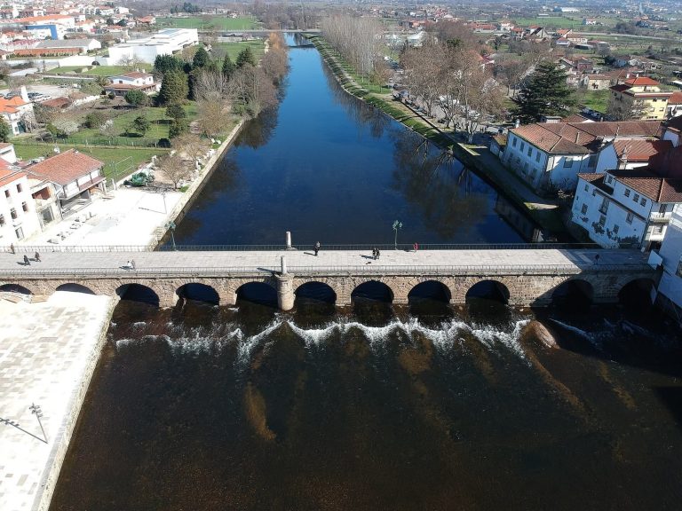
Roads and bridges supported mining across northwest Iberia; the bridge at Chaves is cited as an example of this infrastructure. A granite quarry at nearby Fonte da Ribeira supplied millstones for ore processing.