Chorazin: An Ancient Village of the Upper Galilee
Site at a Glance
- Popularity
- Very High
- Country
- Israel
- Primary era
- Classical
- Eras represented
- Classical, Medieval
- Civilizations
- Byzantine, Roman
- Site type
- City
On this page15 sections
History
Chorazin was an ancient village on the Korazim Plateau in Israel’s Upper Galilee, on a hill above the northern shore of the Sea of Galilee and about four kilometres from Capernaum. It was inhabited from the early first century through the eighth century, during the Roman and Byzantine periods.
Ancient village and religious traditions
Coins and pottery point to two proposed phases of settlement. The main phase dates to the third and fourth centuries, and the village probably prospered most in the late third and early fourth centuries. Chorazin is also mentioned in the Talmud, a central collection of Jewish religious teachings and discussion.
The Gospels of Matthew and Luke, books of the New Testament, associate Jesus of Nazareth with a mission at Chorazin. They place the town under condemnation alongside Bethsaida and Capernaum because its inhabitants did not heed his message. A later Christian end-times text, the non-biblical Apocalypse of Pseudo-Methodius, predicted that the Antichrist would be conceived there.
The village was partly destroyed in the fourth century, possibly by an earthquake. A later settlement known as Khirbat Karraza developed on the site, although when it began is uncertain.
Khirbat Karraza and modern history
During the Ottoman period, Bedouin of the Zangariyye tribe lived at Khirbat Karraza. A shrine there was associated with the local Muslim saint al-Shaykh Ramadan. Local tradition held that people stored grain near the shrine because its sanctity would discourage theft.
On 4 May 1948, Khirbat Karraza was depopulated during the 1947–1948 war in Mandatory Palestine, the territory administered by Britain before 1948. The Palmach, the Haganah’s elite fighting force, carried out the depopulation during Operation Yiftach.
Identification and archaeological work
The identification of Chorazin with the ruins at Khirbat Karraza has been disputed. In the seventeenth century, the English theologian John Lightfoot suggested that Chorazin might refer to a wider area around Cana in Galilee. In the nineteenth century, Edward Robinson rejected the identification, arguing that the ruins seemed too slight for an important town and were inland, while Jerome had placed Chorazin on the Sea of Galilee’s shore.
Charles Wilson identified the synagogue in 1869. Excavations began in 1905, with further investigations in the 1920s, from 1962 to 1964, and from 1980 to 1987. Among those involved were Horatio Kitchener, Heinrich Kohl, and Carl Watzinger. Jacob Ory excavated at the site in 1926 for the British Mandate Department of Antiquities. From 1980 to 1984, the Israel Antiquities Authority and the National Parks Authority undertook excavation, conservation, and reconstruction work. The archaeological remains are now within a national park. A small salvage excavation in 2004 examined part of an ancient road north of the cooperative village of Amnun.
Remains
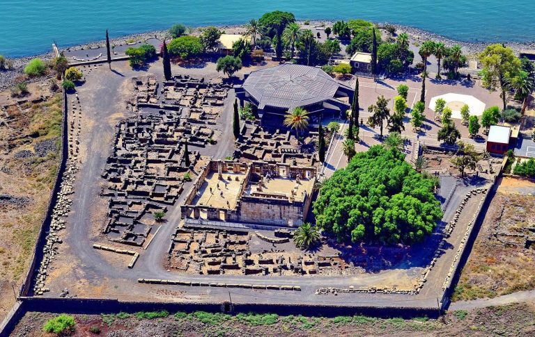
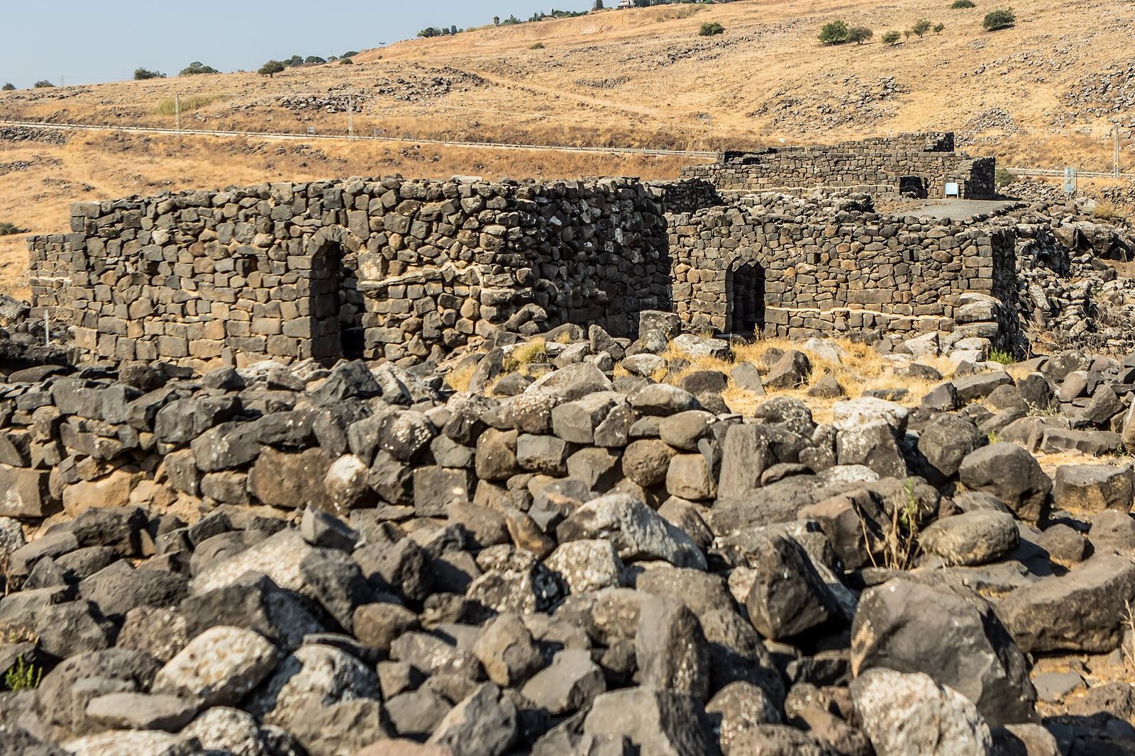
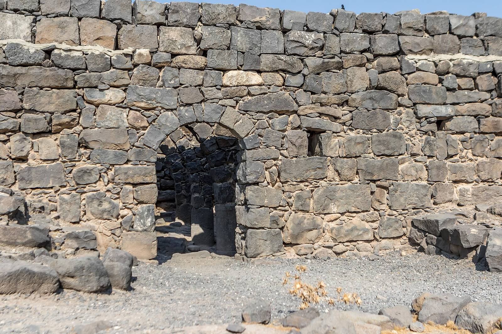
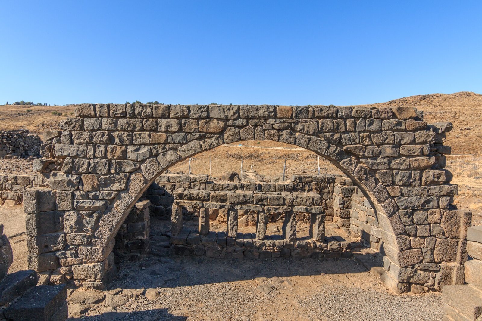
The ruins cover about 25 acres (100,000 square metres) and are arranged in five quarters around a synagogue at the centre. Public and residential buildings, water cisterns, and three olive presses form part of the settlement remains.
Synagogue
Prayer hall
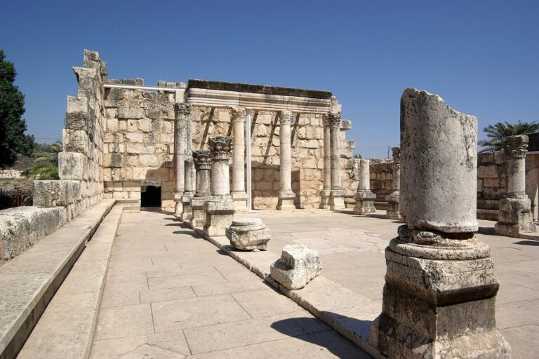
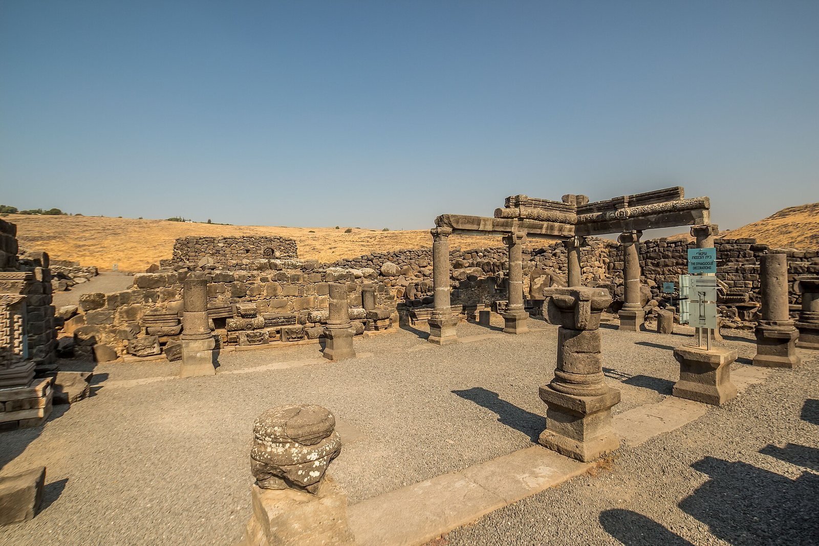
The synagogue’s construction date is uncertain. Built entirely of local black basalt, a volcanic rock, it has a floor of the same material. Its main prayer hall had twelve central pillars supporting the roof, with tiered benches along three walls. The entrance faced south, toward Jerusalem. The building was destroyed in the fourth century, rebuilt in the sixth, and remained standing until the seventh century.
Stone seats and inscription
A carved synagogue seat known as the “Seat of Moses” is associated with religious authority. Its Aramaic inscription, in an ancient Semitic language, honours Yudan ben Ishmael, a third-generation rabbinic sage. It says that he paid for columns and steps and expresses the wish that he be counted among the righteous.
A separate carved stone pillar or stand has a place for a book and rings carved on either side. It has been interpreted as a stand from which a cantor or rabbi delivered sermons. Archaeologist Mordechai Aviam instead considers it a seat for a community notable.
Carvings and coins
Synagogue carvings include three-dimensional stone lions and images of wine-making, animals, an armed soldier, an eagle, and figures holding grape clusters. A carving of Medusa, a figure from Greek mythology, also belongs to the decorative work. Some of the carvings may originally have been brightly painted.
Coins were found in and around the synagogue. One hoard contained about 400 coins, mostly from the Constantinian period and dating to the early fourth century. A separate group of about 1,500 coins dates from the fourth to the early seventh century.
Water and agricultural installations
Ritual bath and millstones
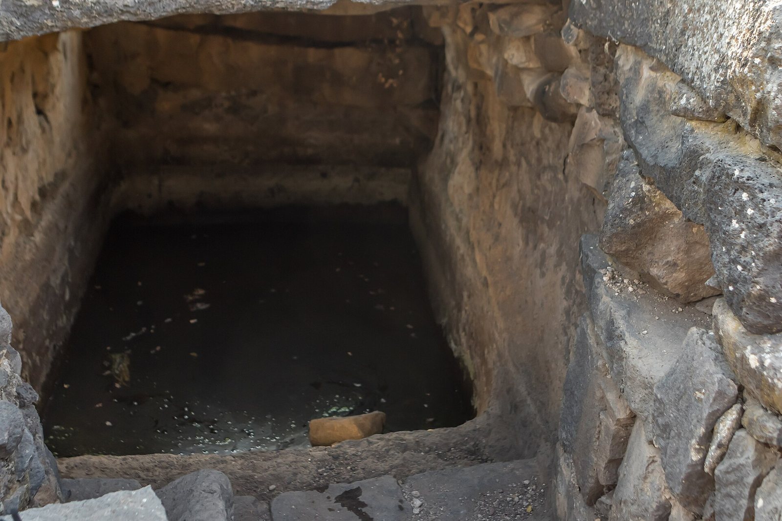
A ritual bath lies north of the synagogue. Several millstones used in olive-oil production were also found at the settlement.
Northern olive press
The northern olive press used a fixed stone base and a rotating stone to crush olives. People or an animal turned the upper stone. The crushed olives were then squeezed in either of two presses; oil flowed along a circular groove in the press base into a basin cut in the rock below. The press surfaces are larger than those of Byzantine-period presses, suggesting that this installation dates to the Roman period, in the second or third century.
Winepress
A winepress measuring about 16 square metres was uncovered in 2019 after conservation work exposed the edge of its mosaic floor. Dated to the Talmudic period, the era of rabbinic activity associated with the formation of the Talmud, it was used for treading grapes.
Ancient road
The route known as the “way through Korazim” crossed the plateau from west to east. It branched from the main Cairo–Damascus road, which ran northeast toward Daughters of Jacob Bridge, a crossing over the Jordan River north of the Sea of Galilee.
Remains of the later village
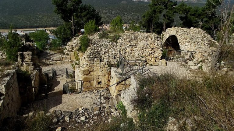
In 1992, several houses of Khirbat Karraza were still standing, and an older building had been renovated. The tomb of Shaykh Ramadan was then crumbling, with large carob trees around it.