Mišučiai Hillfort: A Fortified Site in Lithuania
Site at a Glance
- Rating
- 3.6
- Popularity
- Very Low
- Country
- Lithuania
- Primary era
- Medieval
- External website
- Open
- Eras represented
- Classical, Medieval, Modern
- Civilizations
- Unclassified
- Site type
- Military
- Remains
- Fort
On this page8 sections
History
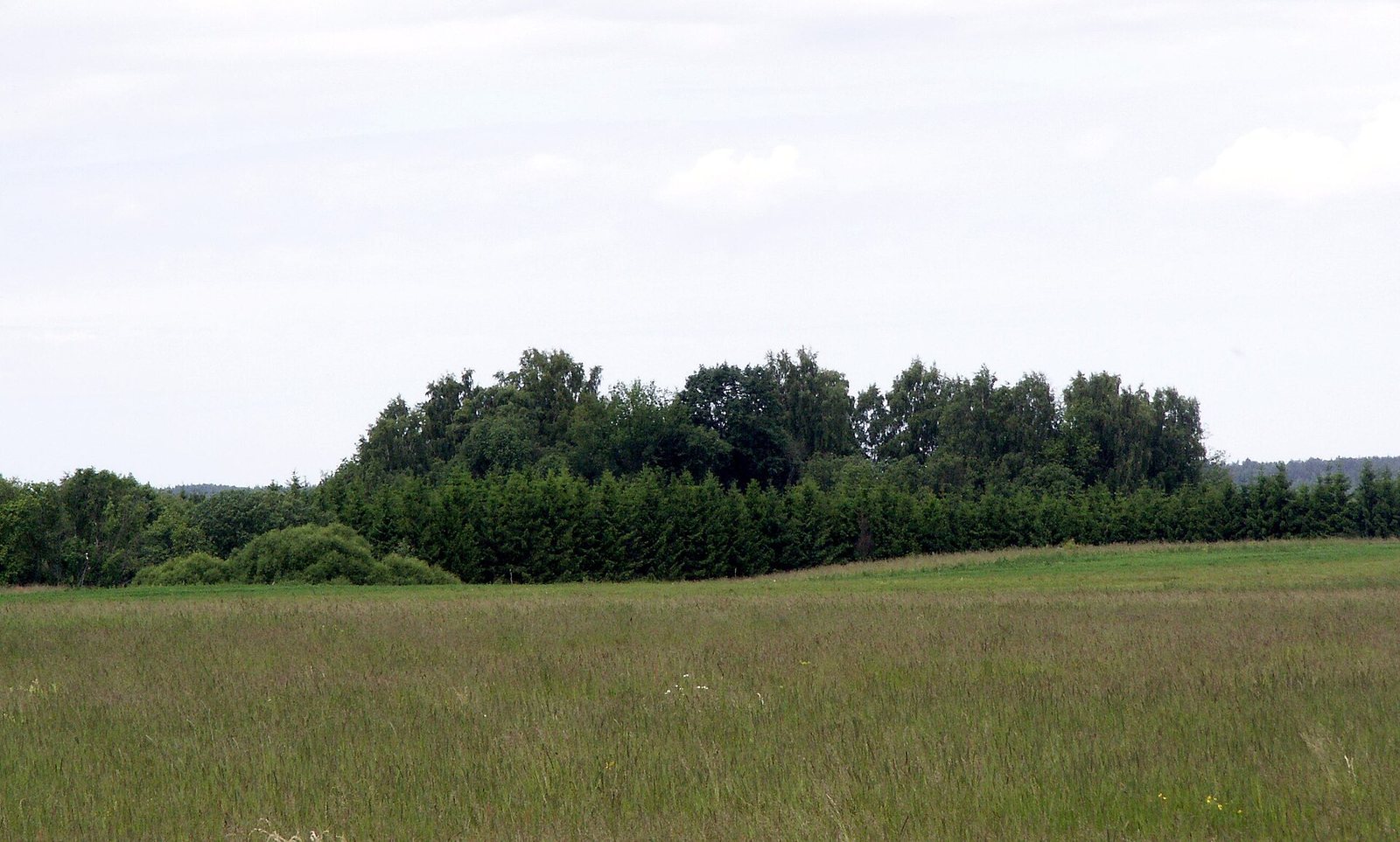
Mišučiai hillfort is a fortified site on elevated ground in Nausodis, Lithuania, provisionally dated to the first millennium and the beginning of the second millennium.
Local Names and Traditions
The site lay on land belonging to Mišučiai Manor, in what is now Nausodis. Local people call it Pilale; the less common name Mongirdo pilale comes from the surname of the Mongird family, who owned the manor. Local tales describe nighttime apparitions and a hole on the summit where a dropped pebble seemed to clatter down steps before falling into an abyss. Other stories placed cellars filled with chests of silver and gold beneath the hillfort. Young men reportedly searched for the enchanted treasure at night, but none found it.
Surveys and Protection
Liudvikas Kšivickis surveyed the hillfort in the early twentieth century, followed by Vladas Šaulys in 1956 and Juozas Mickevičius in 1960. An expedition led by Adolfas Tautavičius of the Institute of History of the Lithuanian Academy of Sciences worked there in 1966. Romas Olišauskas led a 1982 expedition of the Scientific Methodological Council for the Protection of Cultural Monuments, and Vilnius Morkūnas led a 1992 investigation by the Lithuanian Cultural Heritage Scientific Center. The hillfort was designated an archaeological monument of republican significance in 1972. It was registered with its settlement as an archaeological site in 1997, designated a cultural monument in 1998, and recognized as state-protected in 2005.
Remains
The Hillfort Complex
Summit and Defensive Earthworks
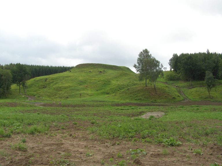
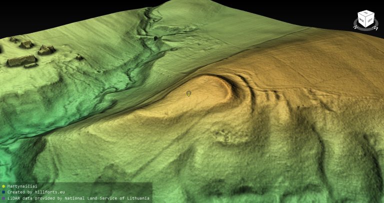
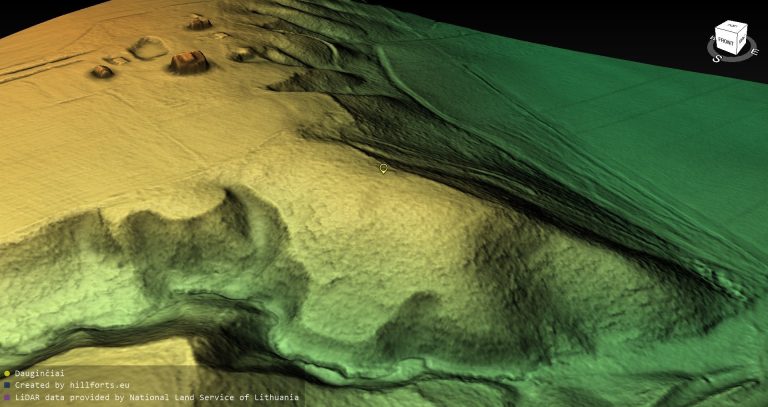
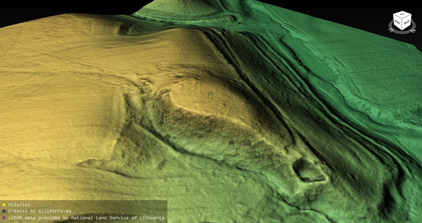
The complex occupies a high promontory on the left bank of the Minija River, projecting into its valley. A broad, deep valley borders the site to the west, while a former stream valley lies to the east and northeast. Its steep slopes rise 9 m on the east and up to 26 m on the west and northwest. The roughly rectangular summit, about 50 by 40 m, runs north to south and slopes down toward the north, where it is 1.5 m lower than at the southern end.
Two ramparts, or earthen defensive embankments, and ditches extend south of the summit. The rampart along the southern edge is 40 m long, 1.5 m high, and up to 30 m wide. Its outer slope descends 2 m into a partly filled ditch 3 m wide. Beyond that ditch stands a second rampart, 0.2 m high and 7 m wide. Its outer slope drops 0.5 m to a second ditch, 10 m wide and 0.8 m deep.
Outwork and Settlement
South of the defenses, an outwork, a secondary defensive work beyond the main fortification, measures 40 m from east to west and 17 m across. A rampart about 1.1 m high protected its southern side. The settlement’s cultural layer, soil containing traces of past human activity, extends across 2.5 hectares south and southeast of the outwork. In 1966, a layer up to 0.8 m thick was noted along the summit’s western and southwestern edges. It consisted of black, mixed soil with fragments of daub, a clay-based material used to coat walls. Traces of a plough-damaged cultural layer were also found south and southeast of the outwork in 1992.
Later Position and Present Condition
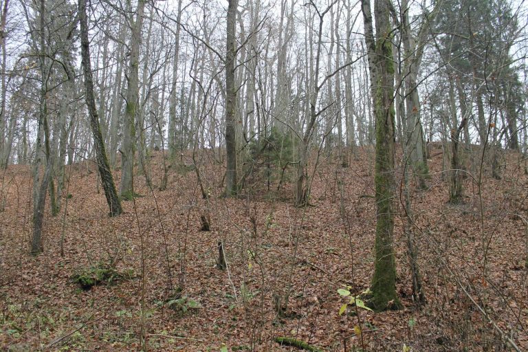
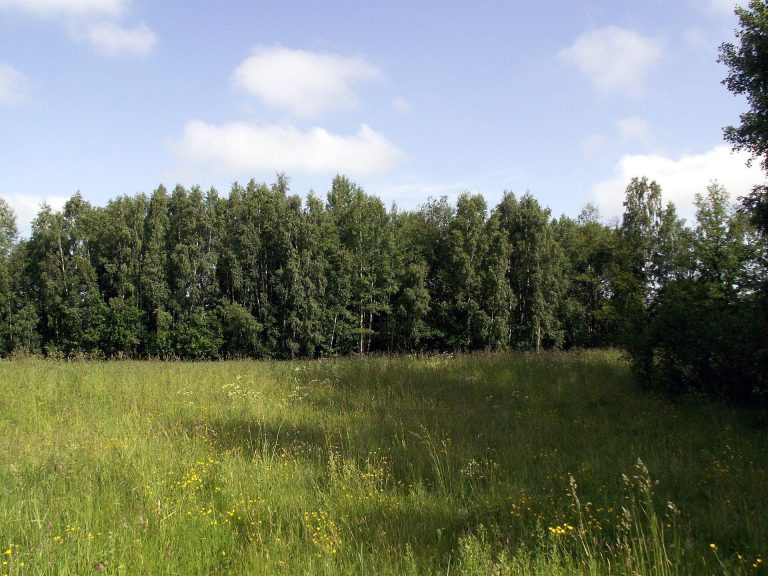
A fortified firing position begun by the Red Army, the armed forces of the Soviet Union, in 1941 survives at the northern foot. Ploughing severely damaged the outwork and settlement, spreading the ramparts and filling the ditches; drainage works destroyed the outwork rampart. A stream that once flowed nearby washed away the northern part of the summit. The hillfort is wooded, while parts of the outwork and settlement are open and fallow. The complex covers 5.9907 hectares.