Château de Calamès: A Medieval Fortress of the County of Foix
Site at a Glance
- Rating
- 5
- Popularity
- Very Low
- Country
- France
- Primary era
- Medieval
- External website
- Open
- Eras represented
- Medieval
- Civilizations
- Unclassified
- Site type
- Military
- Remains
- Castle
On this page11 sections
History
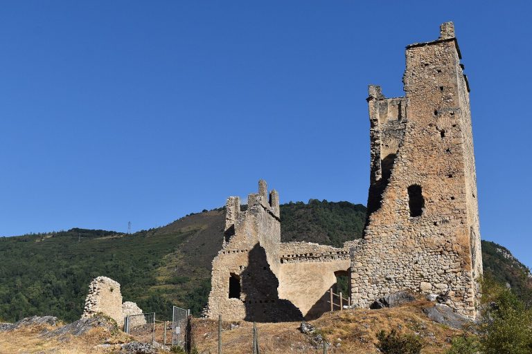
Château de Calamès is a medieval castle on Roc de Calamès near Rabat-les-Trois-Seigneurs in Ariège, France. Built between 1213 and 1272, it formed part of the defenses of the County of Foix, a medieval Pyrenean county. The castle watched routes through the Saurat valley and served as a place of refuge rather than as a major noble family’s residence.
Foundation and strategic purpose
Calamès first appears in written records in the thirteenth century, as the Tour de Montorgueil farther north was gradually being abandoned. The castle was probably built to replace that tower, in a more commanding position.
Its duties included watching the Saurat valley corridor and controlling the Port pass, as well as overseeing strategic locations such as Bédeilhac Cave. Calamès communicated with Miramont Castle and was counted among five major castles of the County of Foix in the thirteenth century, alongside Lordat and Montréal-de-Sos. It may have played a part in the Albigensian Crusade, a medieval campaign in southern France against Cathar communities. The castle was never besieged, reportedly because its difficult approach made it hard to reach.
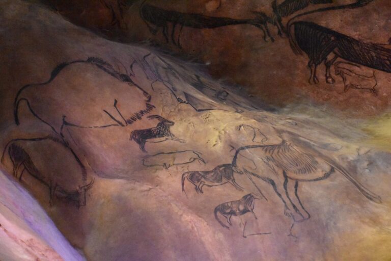
Caves along the approaches had been used in the Neolithic, the later, farming-associated part of the Stone Age, and as burial places during the Gallo-Roman period of Roman rule and cultural influence in Gaul. A local cave name has been interpreted as suggesting that some caves were fortified refuges. Cathar refuge in the caves, and possibly in the castle, has also been proposed. Cathars were followers of a medieval Christian movement.
Foix, royal control, and decline
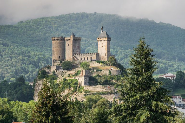
In 1272, Roger-Bernard III, count of Foix, transferred Calamès and several other fortresses to James I, king of Aragon, to prevent their seizure by the king of France. Pierre de Calamès, an officer serving the count, administered the castle. After the County of Foix was formally incorporated into the French crown, the castle passed to the king with the count’s other possessions.
A 1445 chronicle by Michel de Bernis placed Calamès and Montorgueil within the lordship of Saurat, although the town no longer had fortifications of its own. Following the crisis in Foix between 1272 and 1277, Calamès and nearby fortifications gradually lost importance and were used less often.
Abandonment and later history
The castle may have been maintained until the mid-fourteenth century, and it may have served as a royal prison in 1589, though both possibilities are uncertain. A royal inventory in 1672 described it as a ruined castle. Its steep, difficult approach made occupation and upkeep impractical, and it was abandoned in favour of more accessible fortifications, including Lordat and Montréal-de-Sos. Afterward, local people used the site as a landmark and quarried stone from the rock.
The origin of the name Calamès is uncertain. One proposal links it to Calamis, an ancient Greek sculptor, suggesting that Greek inhabitants of the region may have applied his name to the crag. Other suggestions connect it to the Latin calamus, meaning reeds or wet ground, or the Occitan Calamèré and Calamas, meaning a wet field or marsh. The name may also come from Pierre de Calamès, though the officer may instead have taken his surname from the castle.
In 2014, a proposed quarry expansion threatened the Calamès massif and prompted preventive archaeological work directed by Céline Pallier of France’s national institute for preventive archaeological research. The investigation identified 18 archaeological sites on the slopes below the castle.
Remains
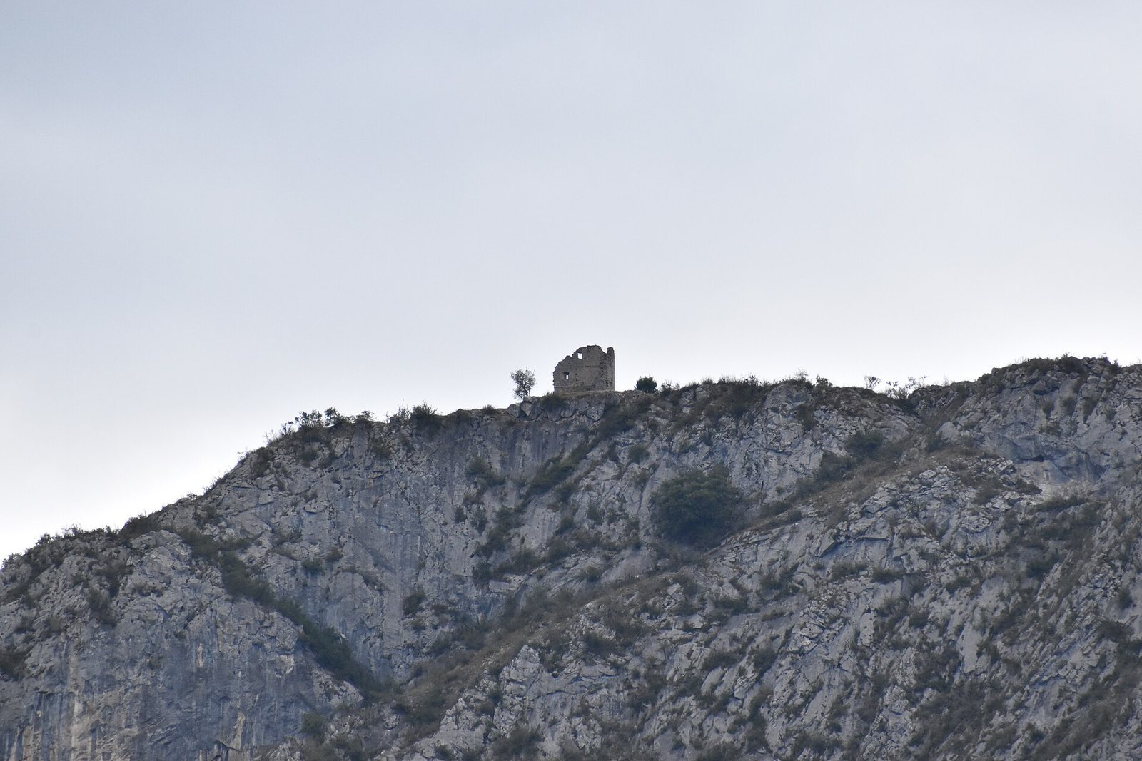
The castle occupies a high limestone rock, with the site reaching about 1,002 metres above sea level and lying roughly four kilometres in a straight line from Tarascon-sur-Ariège. The rock’s southern side includes a cliff more than 250 metres high. Its geology consists of Urgonian-Aptian limestone and dolomite, a carbonate rock, above Albian formations. Urgonian describes a type of limestone; Aptian and Albian are stages of the Cretaceous Period.
Castle buildings
Keep and hall
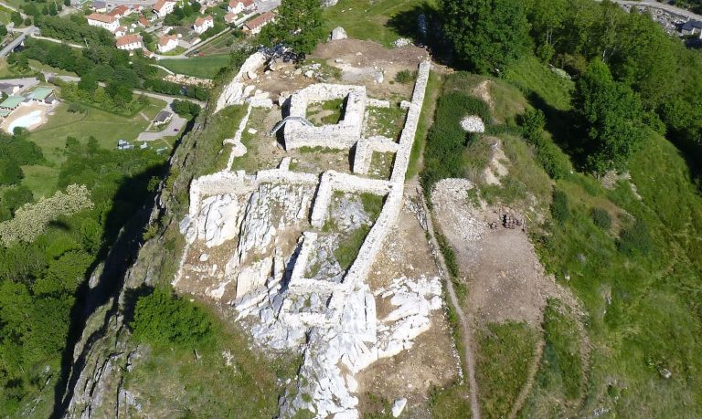
The principal buildings are a keep and a very large hall extending along the cliff to the east of the keep. Remains of the keep show markedly rectangular building plans, with much of the floor area created by extending one side.
Masonry and materials
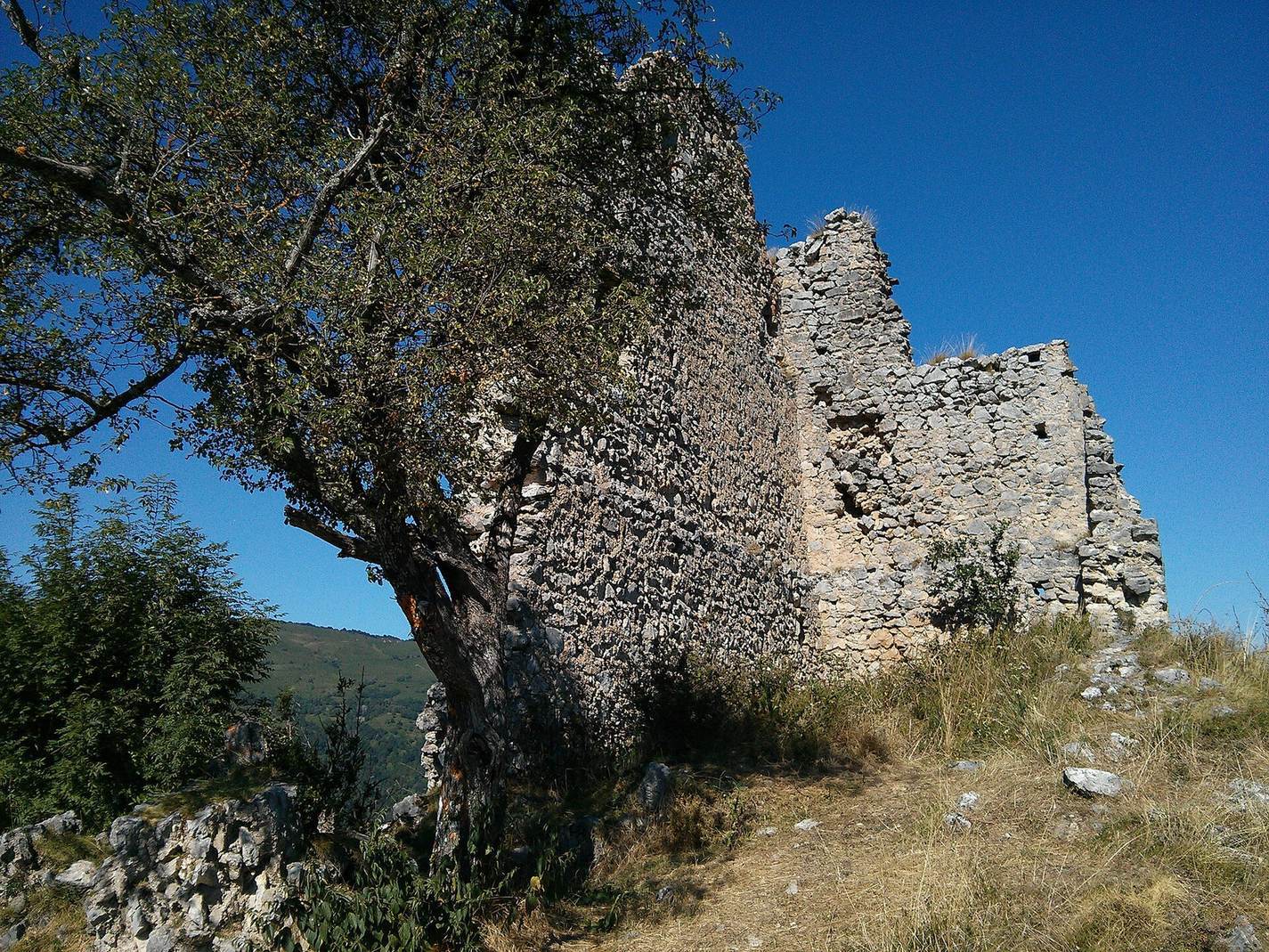
Other masonry buildings stood near the principal tower but remained separate from it. Their walls were considerably thinner than the tower’s, suggesting that these buildings were lower. The builders used limestone from the rock to avoid the cost of transporting stone; walls reach 80 centimetres thick in places. Other materials were probably brought up by a route laid out for construction and kept discreet so that the castle would not become easier to reach. Two walls remain standing, and parts of the foundations are visible.
Approach caves and archaeological finds
Caves along the approaches
Caves lie along the paths approaching the castle. Named examples include Castel-Andry and the Grotte des Enchantées.
Excavated finds
Archaeological work on the slopes recovered several arrowheads, which may point to clashes during the castle’s period of use. Pottery fragments, charcoal, teeth, and human bones indicate activity at the site before the castle was built.