Flyhöhe Castle: A Medieval Motte Site in Germany
Site at a Glance
- Popularity
- Very Low
- Country
- Germany
- Primary era
- Medieval
- Eras represented
- Medieval, Modern
- Civilizations
- German, Holy Roman Empire
- Site type
- Military
- Remains
- Castle
On this page11 sections
History
Flyhöhe Castle is a lowland motte castle, built around a raised mound, in agricultural land near Blaufelden, Germany. Its beginnings are uncertain, but an 11th-century origin is considered probable; a broader date in the 11th or 12th century is also possible.
Origins and possible use
The castle may have served imperial ministerials, service nobles who held positions and lands through service to a ruler, during the Hohenstaufen era, when a dynasty ruled the Holy Roman Empire. A document from 1157 names the local nobleman Einwich de Bauelden, but he and other noble families associated with Blaufelden and Blaubach cannot be securely linked to the castle.
The castle’s purpose is unclear. It may have watched over part of the old Würzburg–Ulm road, known as the Emperor’s Road, which followed roughly the route of today’s Federal Highway 290. A farmstead probably belonged to the site, and finds from the surrounding area indicate its location. The associated hamlet was abandoned in the late Middle Ages. Flyhöhe may refer to fleeing or escape, but a more likely explanation derives the name from the Middle High German word vlins, meaning pebbles or hard stone. The surrounding clay is rich in flint.
Late medieval decline
The castle may have been destroyed in 1449 during the War of the Cities, a late-medieval conflict involving German imperial cities, which were directly under the emperor rather than a territorial lord. During the conflict, imperial cities captured and destroyed nearby Blaufelden and its fortified church.
Remains
Setting and plan
The slight remains form an almost circular earthwork enclosure about 60 metres across, built around a central mound and enclosed by a water-filled ditch and an outer bank. The site lies about 1.2 kilometres southeast of Blaufelden’s Protestant Ulrich Church, at 475 metres above sea level. It occupies the gently sloping northern edge of Tiefental, a valley that runs west-southwest and joins the Blaubach valley.
Earthworks
Central mound
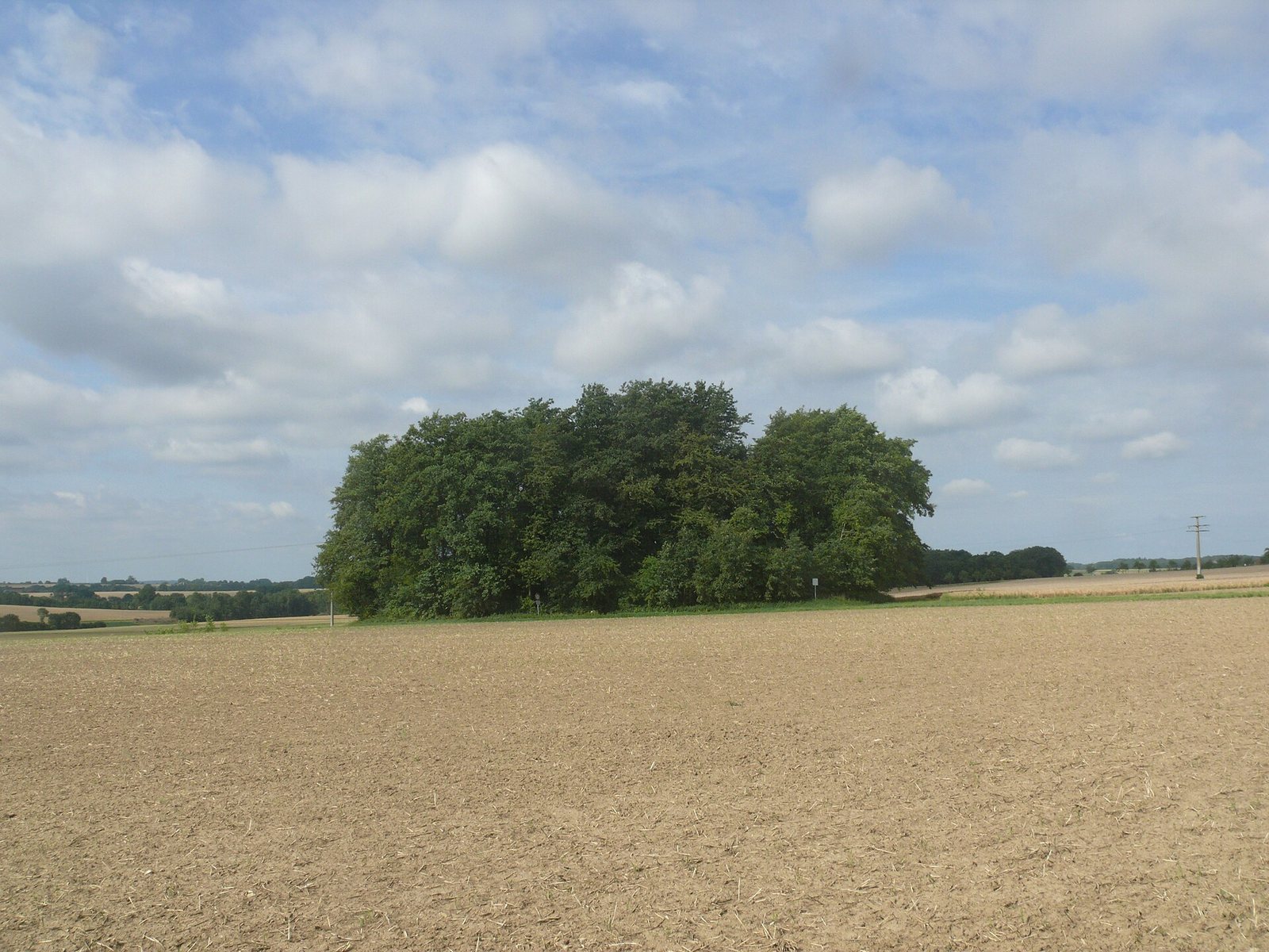
The roughly circular, artificially raised mound is about 32 metres wide and 2 metres high. Its level summit is covered with trees.
Water-filled ditch
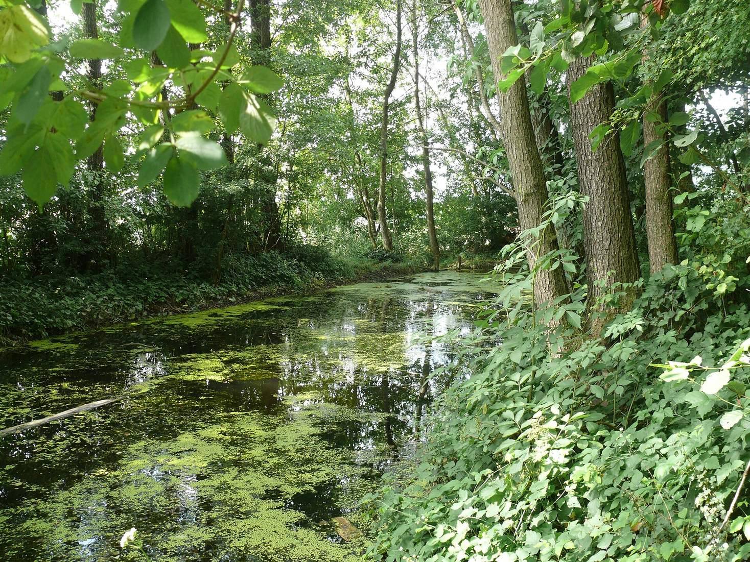
The ditch encircles the mound and reaches up to 7 metres wide in its southern half. A spring on the east feeds it continuously. A causeway built across the ditch on the north provides access to the mound.
Outer bank
The outer bank formed an additional defence. Its northern section has been levelled, while the southern stretch toward the valley survives to a height of up to 1.5 metres. The bank’s outer slope is broadly flattened, and trees grow on it.
Excavation evidence
In 1949, Emil Kost dug two trial trenches at the edge of the central mound. He found pottery sherds, which he dated to the 11th through 14th centuries, along with traces of burning. The pottery dating is uncertain and may not withstand modern reassessment.
Nearby burial mound and local tradition
A local legend describes an underground passage from the mound to a supposed castle site in Demutswald, about 650 metres west-southwest. The feature there is a funnel-shaped burial mound.