Geronium: An Ancient Italic City in Italy
Site at a Glance
- Popularity
- Low
- Country
- Italy
- Primary era
- Classical
- Eras represented
- Classical
- Civilizations
- Unclassified
- Site type
- City
On this page6 sections
History
Frentanian and Roman city
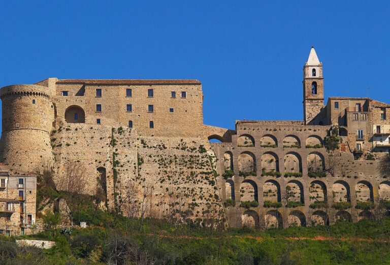
Geronium was an ancient Italic city at present-day Casacalenda, Italy, associated first with the Frentani, an ancient people of the central Adriatic region, and later with Rome. Classified as pre-Roman, it belongs broadly to the fourth and third centuries BC. The origin of its name is unknown; historical forms include Gerio, Gerione, and Geriunum.
Hannibal and the Second Punic War
During the Second Punic War (218–201 BC), the conflict between Rome and Carthage, Hannibal captured Geronium and razed the city, leaving its walls standing for use in defence. After learning of abundant grain supplies at Luceria, he planned to spend the winter at Geronium and use the city as a granary.
The ancient historians Polybius and Livy place the Roman army in the territory of Larino, near Calela, identified with Casacalenda, and Hannibal’s forces about two miles from Geronium. In the ensuing battle, the Romans narrowly avoided a major defeat. The danger has been linked either to the inexperience of Marcus Minucius Rufus, serving as Fabius Maximus’s lieutenant, or to Hannibal’s skill. Fabius came to the Romans’ aid and helped avert defeat.
Disputed location and later decline
The precise location of Geronium remains disputed. Tria and Romanelli placed it on Monte Cerro’s slope, between Casacalenda, Montorio, Montelongo, and Bonefro, to the right of the Cigno stream and near the road from Casacalenda to Montorio. They also noted a proposed location at San Martino. Other writers placed the city at Dragonara or Cerignola, five leagues north of Lucera, or near modern Casacalenda. Tria and Romanelli argued that Dragonara and Cerignola were too far away to fit the ancient descriptions of the Roman and Carthaginian armies’ proximity.
Geronium was not rebuilt after the earthquake of 1456. Tria described its decline as gradual, following further setbacks, and considered the earthquake an important cause. He also proposed that nearby castles and settlements were built or enlarged as the city dwindled.
Excavation
Excavation began in spring 2003 under the University of Bologna’s Chair of Topography of Ancient Italy.
Remains
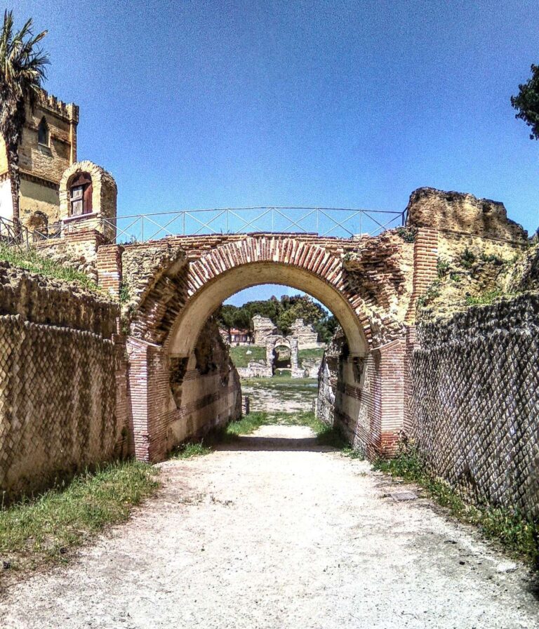
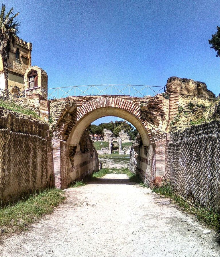
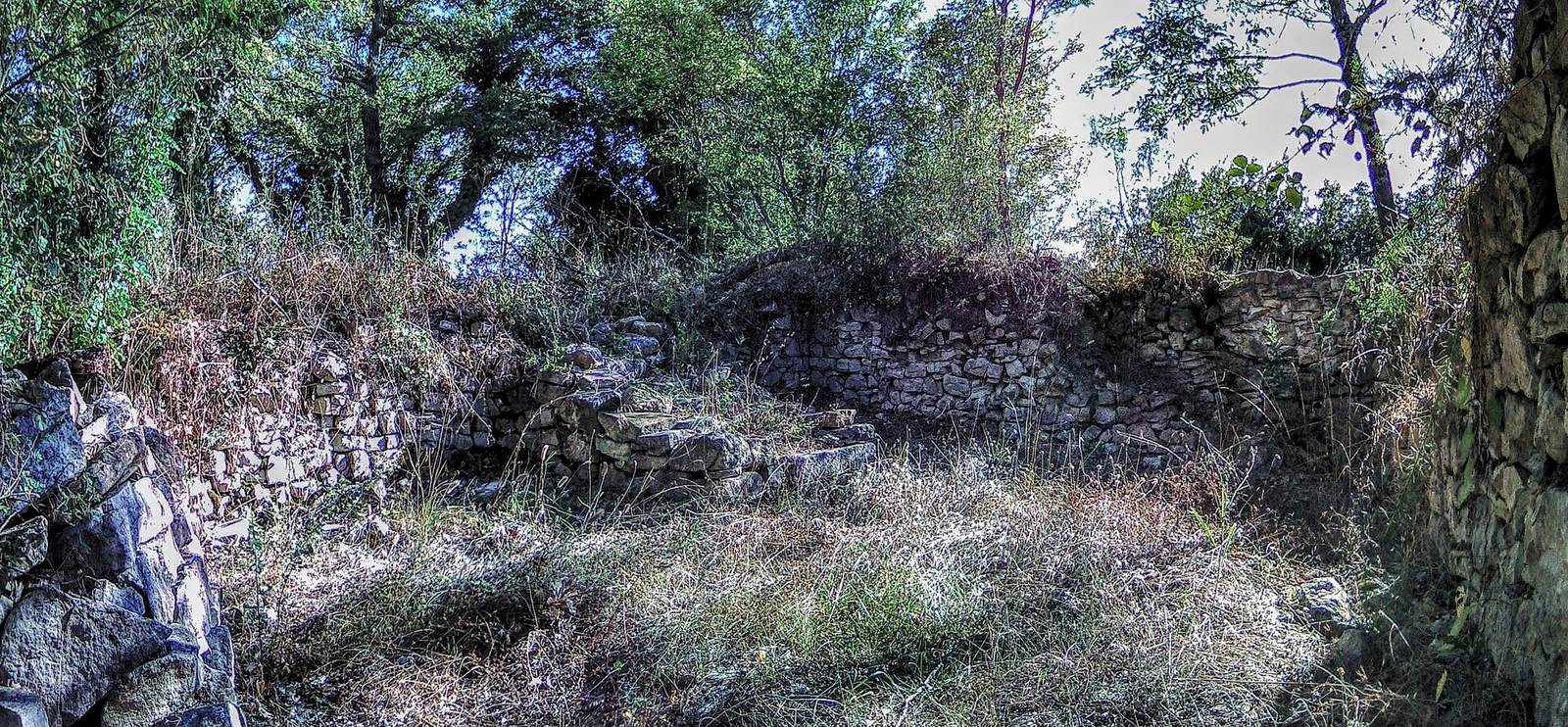
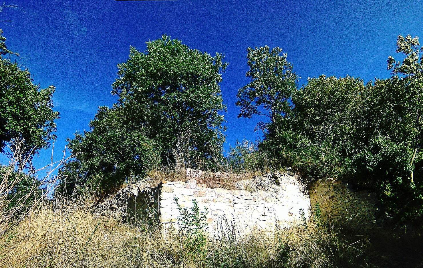
The archaeological site identified as Geronium lies at an elevation of 585 metres, where visible traces of the ancient city survive.
Excavation recovered a rare limestone fragment from a Punic stele, an upright stone slab, dated to the third to second centuries BC. It depicts a lunar crescent and a solar circle, which together represent Tanit, a Carthaginian goddess associated with the protection of Carthage. The fragment lends support to identifying the site with the Geronium known from ancient literature.