Maes Knoll Camp: An Iron Age Hill Fort in Somerset
Site at a Glance
- Popularity
- Medium
- Country
- United Kingdom
- Primary era
- Iron Age
- Eras represented
- Iron Age, Modern
- Civilizations
- British, Celtic
- Site type
- Military
- Remains
- Fort
On this page11 sections
History
Iron Age origins
Maes Knoll Camp is an Iron Age hill fort on the Dundry Down ridge in Somerset, United Kingdom, south of Bristol. The Iron Age was a prehistoric period when iron came into widespread use in Britain, before the Roman conquest. The fort is thought to have been built around 250 BC by the Dobuni, a Celtic people of pre-Roman Britain.
Maes Knoll Camp is protected in England as a Scheduled Ancient Monument, a designation for an archaeological or historic site.
Second World War
During the Second World War, Dundry’s Home Guard, a civilian force organized to help defend Britain against invasion, used a hut on Maes Knoll Tump as a lookout for enemy aircraft and possible parachute or glider landings aimed at Bristol. Trees north of the mound were presumably felled to improve the view. About 50 stone piles on the plateau east of the fort were placed to obstruct enemy gliders; they remained there for several years after the war.
Remains
Fort layout and earthworks
Interior and defences
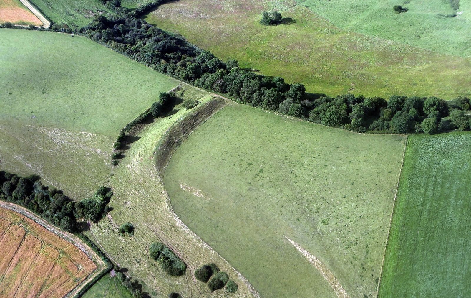
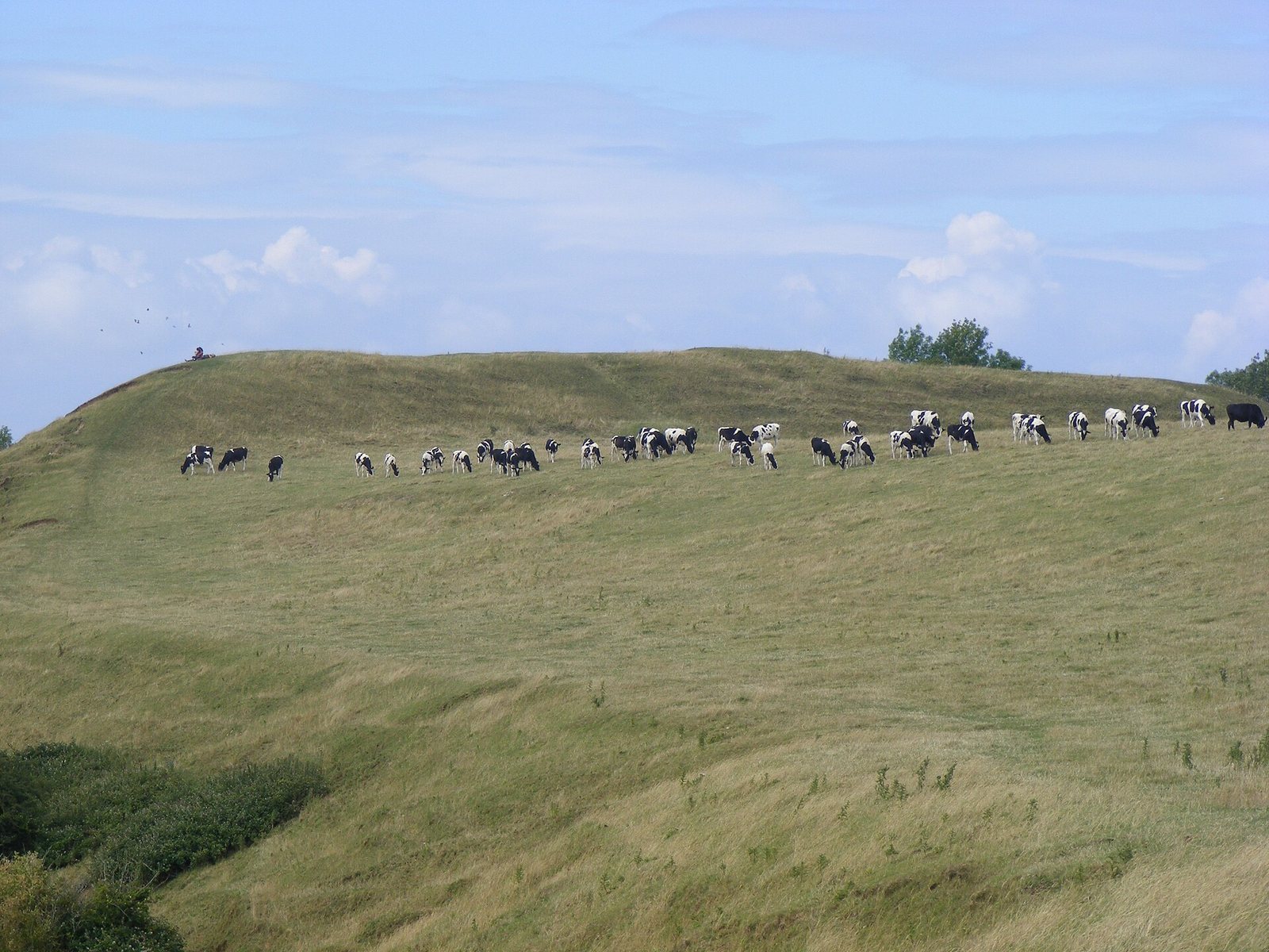
The fort occupies the eastern end of Dundry Down, near the eastern side of Dundry Hill, at 197 metres above sea level. Its roughly triangular interior is broad, flat and open. The fort is described as about 119 by 26 metres and 14 metres high, covering approximately 8.1 hectares. Its defences include earthen banks and steepened slopes on the north, east and southwest sides. Some parts of the site are damaged.
The hilltop commands views north toward Bristol, east toward Bath and the Cotswold Hills, and south across the Stanton Drew stone circles toward Chew Valley Lake and the Mendip Hills. The underlying rock is the Inferior Oolite, a Jurassic geological formation.
Maes Knoll Tump
At the fort’s northwestern edge, Maes Knoll Tump is an earthen mound rising about 7.5 metres above the remains of the fort’s defences. It measures roughly 60 metres across and stands 15 metres above a defensive ditch.
Wansdyke
The prehistoric earthwork known as Wansdyke extends west from the fort along the north side of Dundry Hill and also runs southeast from it.
Second World War features
Lookout hut
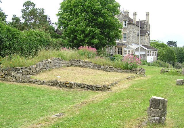
A small, draughty rectangular hut made of corrugated iron stood on Maes Knoll Tump during the Second World War. Its outline remains discernible, along with that of a smaller, more nearly square area.
Stone cairns
The plateau immediately east of Maes Knoll held about 50 wartime cairns, or piles of stone. They remained in place for several years after the war.