Kerkenes: An Iron Age City in Türkiye
Site at a Glance
- Popularity
- Medium
- Country
- Turkey
- Primary era
- Iron Age
- Eras represented
- Iron Age, Medieval
- Civilizations
- Byzantine, Phrygian
- Site type
- City
On this page15 sections
History
Kerkenes is a large Iron Age settlement near Şahmuratlı in Yozgat Province, Türkiye, founded around 700 BCE. Its main occupation lasted for one phase, ending when the city was burned and abandoned in the mid-sixth century BCE. The identity of its builders remains uncertain, and the settlement’s scale and planned layout have prompted debate about its origins.
Iron Age settlement and proposed identities
Phrygian remains have been found at Kerkenes, but they do not establish who founded the city. One proposal identifies the settlement with Pteria. Geoffrey Summers first considered Pteria a Median city, then argued that it was founded by Phrygians, an ancient people of Anatolia. In his interpretation, the Phrygians were natural allies of Media, an ancient Iranian kingdom, against Lydia, a kingdom in western Anatolia. This would help explain a Lydian attack on Kerkenes.
The identification with Pteria remains disputed. Herodotus, a Greek historian of the fifth century BCE, placed Pteria near Sinope, about 300 km from Kerkenes, although alternative translations of his account have been proposed. Another suggestion identifies the hill beneath the Iron Age settlement with sacred Mount Daha and Kerkenes with a Bronze Age Hittite site. The Hittites were an ancient Anatolian civilization, but the extensive Iron Age construction makes this proposal difficult to verify. Kusakli Hoyuk, a separate Hittite city about 8 km to the north-northwest, has been identified by Gurney with Zippalanda, a place named in Hittite texts.
If Kerkenes was Pteria, its destruction may be connected with the conflict around 547 BCE between Cyrus II, founder of the Achaemenid Persian Empire, and Croesus, king of Lydia. Herodotus says Croesus captured Pteria around this time and enslaved its inhabitants. A proposed reconstruction instead places Kerkenes’ destruction at Cyrus’s hands just after the Battle of Pteria. These connections depend on the disputed identification.
Archaeological investigation
John George Clark Anderson examined Kerkenes in 1903. H. H. von der Osten and F. H. Blackburn surveyed the site in 1926 and 1927 and mapped its defenses; the Hittite specialist Emil Forrer also visited in 1926. In 1929, Erich Schmidt excavated for about a week, establishing that the settlement belonged to the Iron Age. An international project led by Geoffrey and Françoise Summers ran from 1993 to 2012 with collaboration from the universities of Chicago and Berkeley. Its work combined surface survey and excavation with subsurface mapping, GPS measurements and photographs taken from a hot-air balloon. Fieldwork later continued under Scott Branting of the University of Central Florida.
Remains
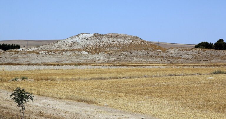
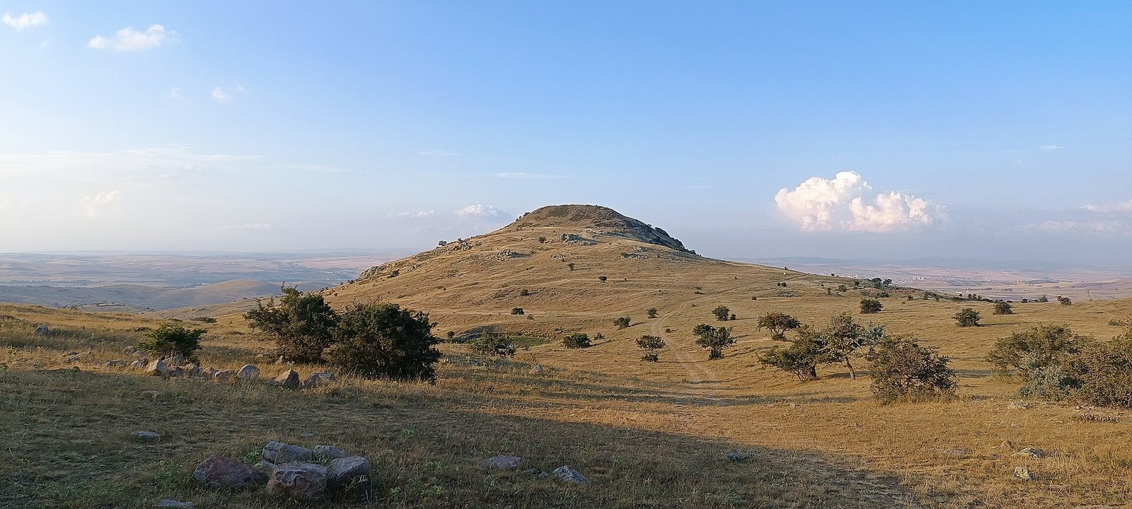
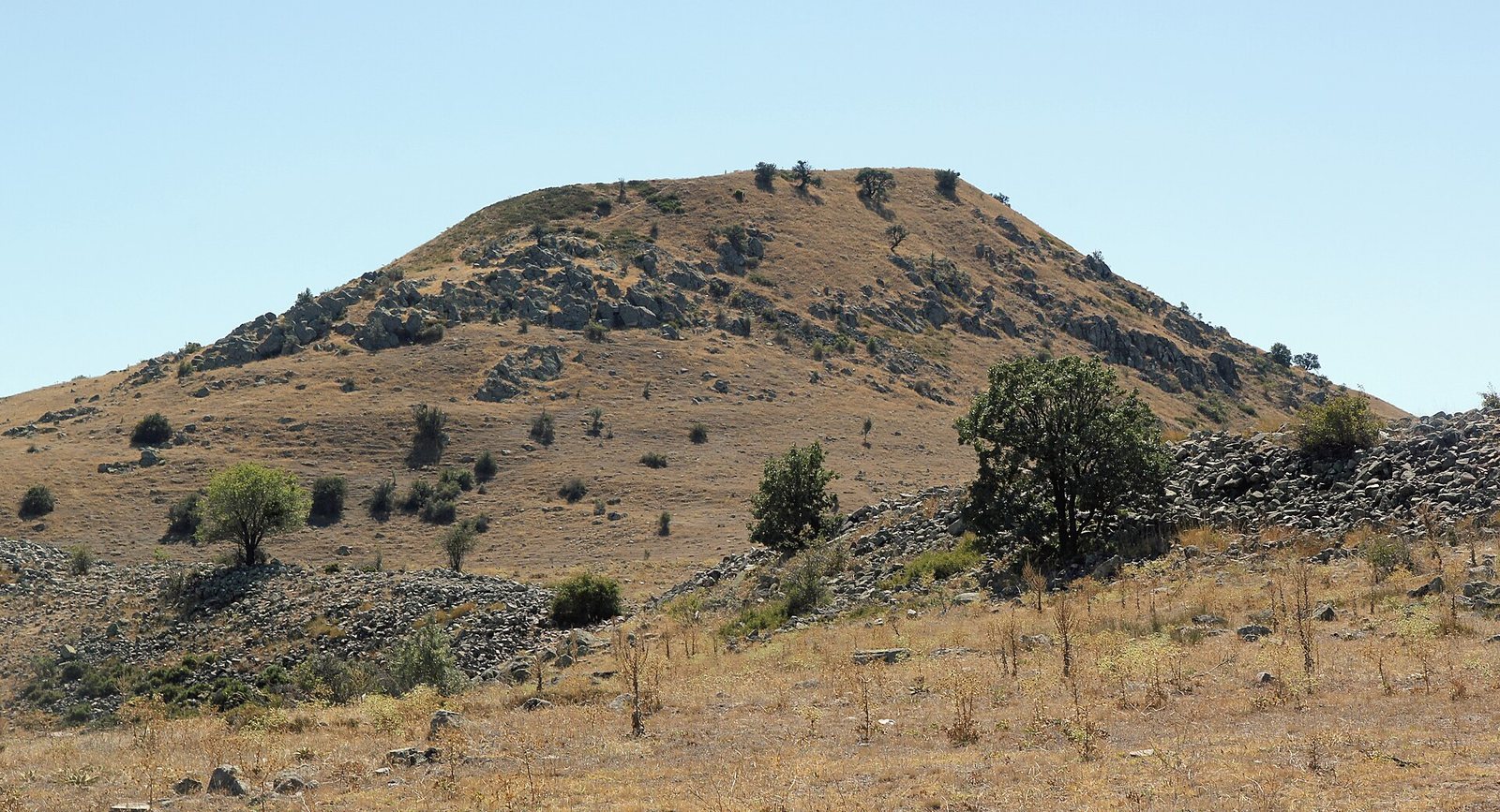
Kerkenes occupies about 2.5 km² on the Anatolian Plateau, at the northern edge of the Cappadocia Plain. The settlement lies about 5 km west of Şahmuratlı and southeast of Yozgat. Its planned urban area included a stone-walled circuit, a palace in the south, neighborhoods in the lower town and other large buildings.
Defenses and lower town
Wall and gates
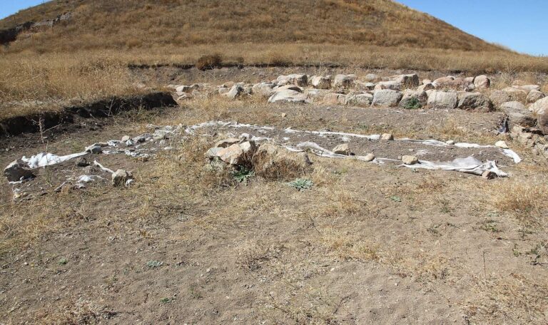
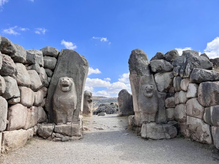
A stone defensive wall about 7 km long enclosed the settlement and included seven gates. The Cappadocia Gate is the excavated example among them.
Neighborhoods and water network
In the lower town, surveys traced neighborhoods, streets, open spaces and a complex network for managing water.
Southern palace
Palace entrance and towers
The palace stands in a commanding position in the southern part of the city. Its entrance area includes stone paving, a large columned hall and two towers. The lower parts of the towers are built from smoothed granite blocks. Above these are courses of yellowish sandstone and soft white limestone, with large logs between each stone course. Heat from the burning timber turned the granite glass-like and melted the sandstone.
Pool and fire deposit
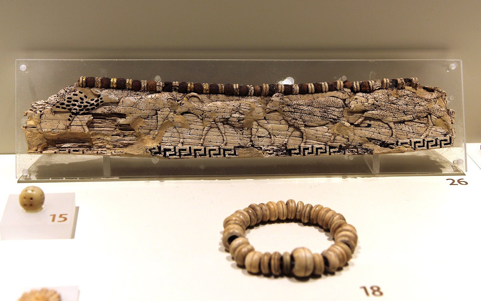
An artificial pool lies in front of the palace buildings. A deposit associated with fire contained many fragments of relief sculpture, a substantial part of a human statue and inscriptions in Phrygian, an ancient language of Anatolia.
Other urban buildings and later remains
Acropolis stables
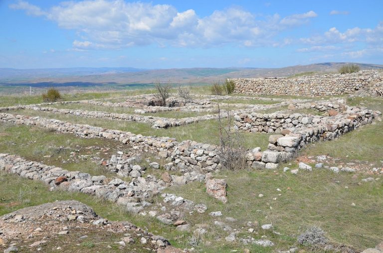
Two long, parallel buildings lie opposite the Cappadocia Gate, below the southwestern part of the Acropolis, the elevated area also called Keykavus Kale. Subsurface surveys revealed their plans, and they have been interpreted as horse stables. Their roof span is estimated at about 20 m. Heavy snowfall in the area would have required a steep reed roof, with a slope of at least 40 degrees. This reconstruction gives an estimated roof height of about 8 m and a total building height of about 12 m.
Central halls
Surveys in the city center revealed two buildings with megaron plans. A megaron is a large rectangular hall, typically with a porch or vestibule leading into a main room. The two buildings may have served as public spaces.
Phrygian inscription
An Old Phrygian inscription found at Kerkenes is designated K-01.
Byzantine castle
A castle from the Byzantine period, the medieval eastern Roman Empire, is another feature of the site.