Alışar Höyük: An Anatolian Settlement and Assyrian Trading Post
Site at a Glance
- Popularity
- Medium
- Country
- Turkey
- Primary era
- Bronze Age
- Eras represented
- Bronze Age, Iron Age, Classical, Medieval, Early Modern
- Civilizations
- Byzantine, Hittite, Ottoman, Roman
- Site type
- City
On this page13 sections
History
Alışar Höyük is an archaeological mound near the village of Alişar in Yozgat Province, Türkiye, occupied from the Neolithic period through the Bronze Age and into later eras. It developed into a major regional city and served as an Assyrian trading post during the second millennium BC.
Early settlement and regional growth
In the Neolithic, people lived on the mound while it stood within a lake. As the surrounding land dried during the Chalcolithic, or Copper Age, settlement spread beyond the mound. Over time, the community grew into a major regional city.
Assyrian trade and Hittite rule
Assyrian merchants used the settlement as a trading outpost, one of a type found elsewhere in Anatolia. Fifty-three tablets, including copies, written in cuneiform (a script made from wedge-shaped signs) in Old Assyrian, an early form of the Assyrian language, provide evidence of this trade. The tablets, of the Cappadocian type associated with Assyrian commerce in Anatolia, refer to journeys from Zalpuwa and to Kanesh and Hattusa. One names the merchant Amur-Assur, who also appears in records from Kültepe, the site of ancient Kanesh. A tablet naming Adad-bāni in its dating formula belongs to the final years of Shamshi-Adad I’s reign, 1808–1775 BC.
Two tablets carry a seal naming “Anitta the Prince,” possibly Anitta, an early ruler of the ancient Anatolian polity of Kuššara in the late eighteenth century BC. An invasion by Anitta has been proposed as one possible cause of a destruction at the settlement. The tablets also mention Ankuwa, leading to a tentative identification of Alişar with that town. A text from the reign of Hattusili II, a Hittite king, places Ankuwa’s subjection to Hittite rule in the Late Bronze Age. Ankuwa is also associated with worship of Kataḫḫa, a goddess of the Hattians, an early people of central Anatolia distinct from the Hittites. Alişar was probably a small provincial settlement called Ankuwa during part of the Hittite period, around 1400–1200 BC, though the identification remains uncertain. The settlement was devastated around 1200 BC, near the end of the Hittite Empire, and remained sparsely occupied until Phrygian resettlement.
Phrygian resettlement and later activity
The Phrygians, an Iron Age people who established kingdoms in Anatolia, resettled the site by the eighth century BC. Its political affiliation is uncertain. A connection with Tabal, an Iron Age polity in the region, has been suggested, while hieroglyphic seals have been interpreted as evidence of Luwian presence. The Luwians were an ancient Anatolian people associated with a distinct language. Occupation ended again in the seventh century BC, and the site’s importance declined after the Phrygian period.
Later activity is associated with the Median and Persian powers of ancient Iran, the Hellenistic age of Greek cultural influence after Alexander, Roman and Byzantine times, and the Turkic Seljuk and Ottoman dynasties. The Byzantine Empire was the eastern continuation of the Roman Empire. Substantial remains from these later phases are generally limited. Some buildings described as semi-nomadic in character are attributed to early Ottoman governors.
Archaeological investigation
The Oriental Institute of the University of Chicago, a research institute devoted to the ancient Near East, excavated Alışar Höyük from 1927 to 1932. Erich Schmidt led the work, with Hans Henning von der Osten also directing the expedition.
Investigation resumed in 1992 under Ronald Gorny as part of the Alisar Regional Project, which continued through 2006. Work at Alışar appears to have consisted mainly of land survey and aerial photography, with little or no excavation. Most of the project’s fieldwork took place at nearby Çadır Höyük.
Remains
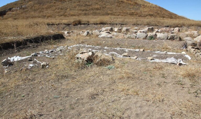
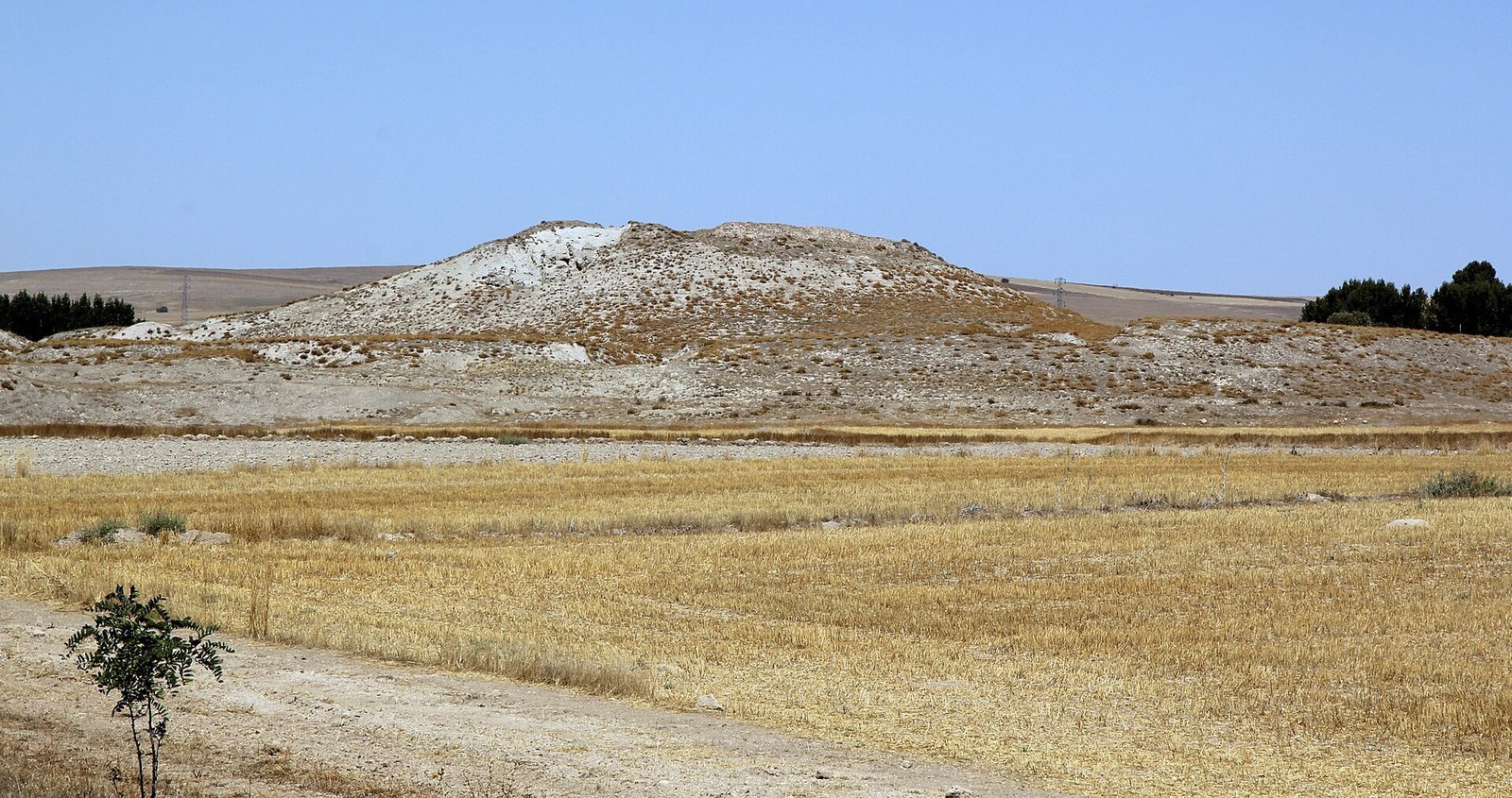
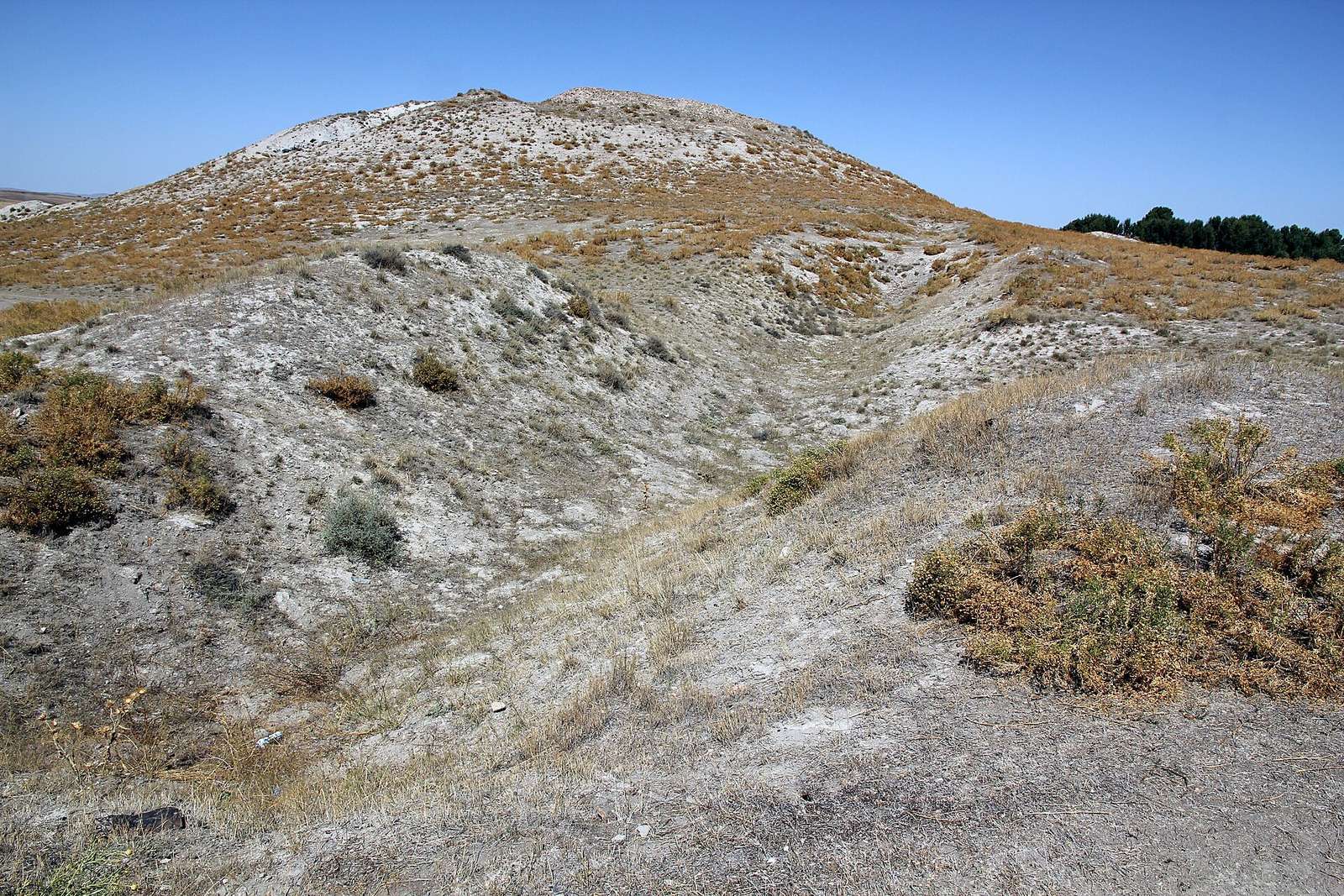
Alışar Höyük covers about 18 hectares and is organized around a mound and a broad surrounding terrace. The mound rises about 30 m and measures approximately 520 by 350 m; its main summit area is about 245 by 145 m, with a flattened, cone-shaped summit and three projecting lobes. A terrace 5–8 m high extends northeast, east, south, and southwest across an area of roughly 520 by 380 m. Excavators divided the mound into 19 layers and the terrace into 14, and later researchers have interpreted their sequence differently.
Settlement and defenses
Houses and town plan
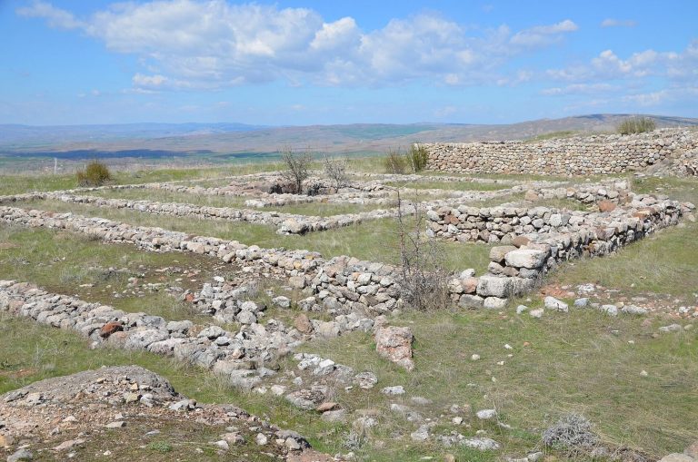
The earliest described settlement, dated to 3200–2600 BC, was a village of rectangular houses built with mud-brick walls and flat roofs. Later buildings followed a more regular arrangement, and some had plastered walls on both the interior and exterior. The settlement developed an inner citadel, a fortified central area, alongside a lower town. Although Chalcolithic occupation is described as spreading beyond the mound as the surroundings dried, excavated remains from that period were found only on the main mound.
Fortifications and citadel
Early Bronze Age defenses included a large wall with gates. Later, inner and outer defensive walls were strengthened during a phase dated to 2200–2000 BC, when the inner citadel was enlarged. In the Hittite period, the lower town was inhabited and fortified, with broad gates, underground passages, and towers. The inner citadel was rebuilt on older foundations during a phase dated to 1200–700 BC. An earlier citadel wall, dated to the nineteenth century BC, had been destroyed by fire.
Archaeological finds and later remains
Pottery, burials, and domestic finds
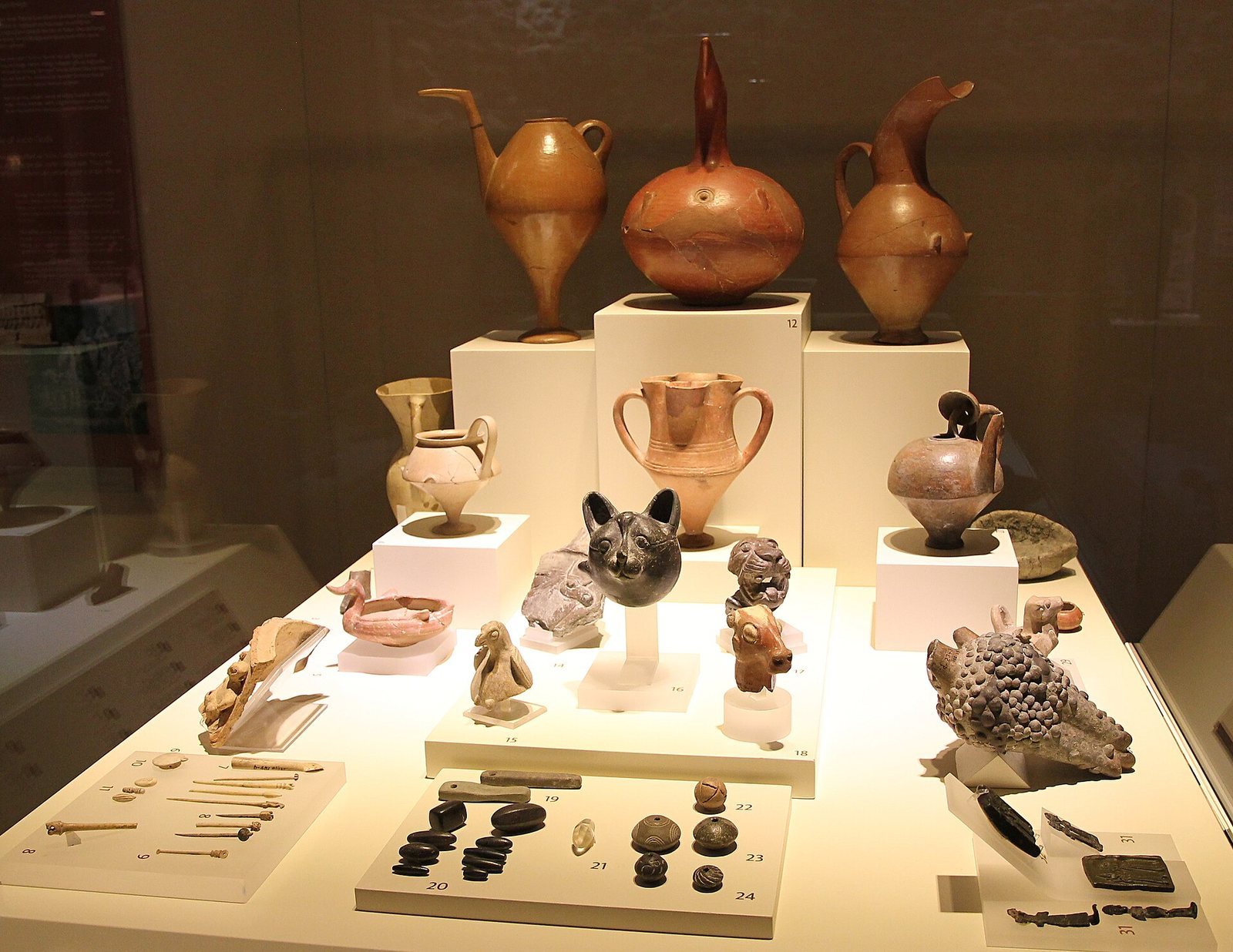
Finds include dwellings, pottery, burials, and weights used in textile weaving. A pottery type known as Alişar IV, characteristic of the early first millennium BC, has also been found at other sites in the region. Excavated finds from Alışar Höyük are exhibited at the Museum of Anatolian Civilizations in Ankara.
Stamp seals
Copper and lead stamp seals, small seals pressed onto a surface to leave an impression, date to the Late Chalcolithic and Early Bronze Age. Double-convex examples have also been used to establish occupation in the Late Bronze Age II. Some inscribed seals bear hieroglyphic signs that remain undeciphered. Stamp seals were the principal sealing form in the region, although cylinder seals were also used there.
Church
Remains of a church dating to the Late Roman or Byzantine period were found at the site.