Heidekringen Small Fort: A Roman Military Installation in Germany
Site at a Glance
- Popularity
- Very Low
- Country
- Germany
- Primary era
- Classical
- Eras represented
- Classical
- Civilizations
- Roman
- Site type
- Military
- Remains
- Fort
On this page9 sections
History
The Heidekringen Small Fort is a Roman military installation in Taunusstein, Germany, probably built in the early second century AD during the reign of Hadrian. Pottery and brick fragments support this dating. Its military unit is unknown, though it is described as a vexillation, a detached Roman army unit.
Roman construction and possible uses
The fort probably served for a short time during the expansion of Zugmantel Fort. It may later have operated as a post controlling passenger and commercial traffic on the road, with facilities where travelers could rest.
After investigating the site in 1949, Helmut Schoppa proposed that construction might never have been completed. He based this interpretation on evidence from the fort’s internal roads.
Investigations and conservation
Emil Ritterling investigated the fort in 1897, and Schoppa returned to it in 1949. In 2009, the forestry service cleared the area in front of the fort.
Remains
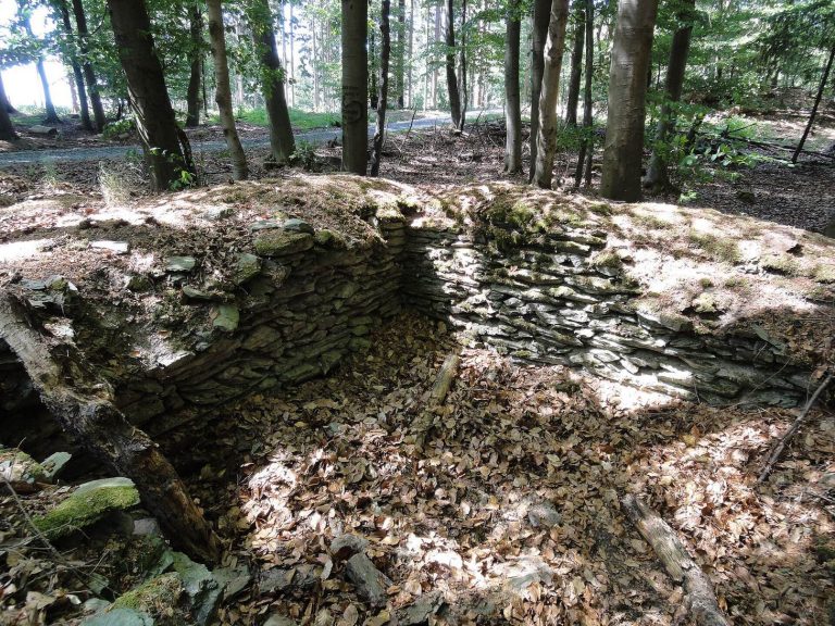
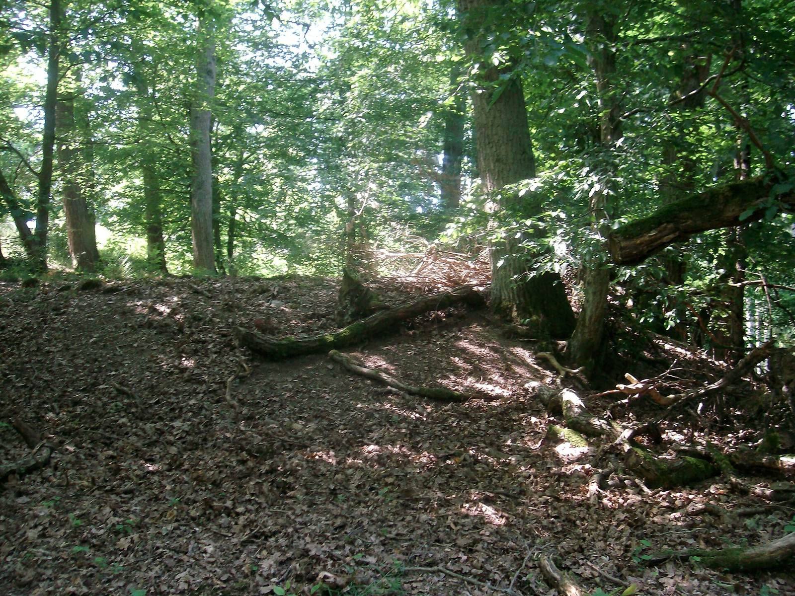
The remains lie in woodland on the north slope of Eichelberg, in Heidekringen southeast of Taunusstein-Wehen. The timber-and-earth fort covered about 0.5 hectares and formed a nearly rectangular enclosure, measuring approximately 76 m from north to south and 64 m from east to west. The slope raises the southern side about 7 m above the northern side.
Enclosure and earthworks
The surviving earthworks rise to 1 m. They were probably originally 6.5 to 7 m wide, with timber planks reinforcing their outer faces. A surrounding ditch remains about 3 m wide and up to 1 m deep. It is interrupted at the north and south sides, where entrances have been identified.
Roadside remains
Roman road
The Hühnerstraße, a Roman road, passed about 30 m north of the fort. It connected Zugmantel Fort, roughly 4.7 km to the north, with Wiesbaden, about 7 km to the south. The fort stood nearly 5 km south of the western Taunus section of the Upper Germanic-Raetian Limes, a Roman frontier system in what is now Germany.
Settlement traces
Traces of a settlement associated with the fort were found between the enclosure and the road.
Bathhouse
In the northern part of the site, the remains of a stone building measuring 7 by 10 m are interpreted as a bathhouse.