Tapureli: An Ancient Settlement in Türkiye
Site at a Glance
- Popularity
- Low
- Country
- Turkey
- Primary era
- Medieval
- Eras represented
- Classical, Medieval
- Civilizations
- Byzantine, Roman
- Site type
- City
On this page14 sections
History
Tapureli is an ancient settlement in Erdemli, Mersin Province, Türkiye, occupied from the Hellenistic period through Late Antiquity, the later ancient era. The Hellenistic period followed Alexander the Great’s conquests and spread Greek culture across the eastern Mediterranean and western Asia. Tapureli was rebuilt during the Roman Imperial period, when emperors ruled Rome, and the early Byzantine era.
Hellenistic settlement
Tapureli lay in the territory of Olba, a regional area dominated during the Hellenistic period by the Olba dynasty, a local ruling house. The settlement developed as a fortified community overlooking a valley, with defensive structures alongside civilian homes. It is thought to have gathered and distributed locally made goods, with nearby roads and valley connections supporting movement and exchange.
The ancient settlement’s original name is unknown. Its modern name comes from Tapureli village. The proposed ancient name “Bemisos,” put forward by nineteenth-century English explorer and antiquarian James Theodore Bent, arose from a misreading.
Roman Imperial period
During the Roman Imperial period, the settlement was rebuilt and its residences became larger and more elaborate. The size and decoration of these homes reflect growing prosperity among local residents and elites, alongside regional social and economic development.
Late Antiquity and the early Byzantine era
Late Antiquity was Tapureli’s most intensive period of occupation and expansion. Several churches and a chapel indicate that it had become an important religious center. Large homes associated with the churches are thought to have housed clergy and their families. Tax exemptions in Late Antiquity are understood to have helped local elites invest wealth in churches and substantial residences.
Remains
Setting and settlement plan
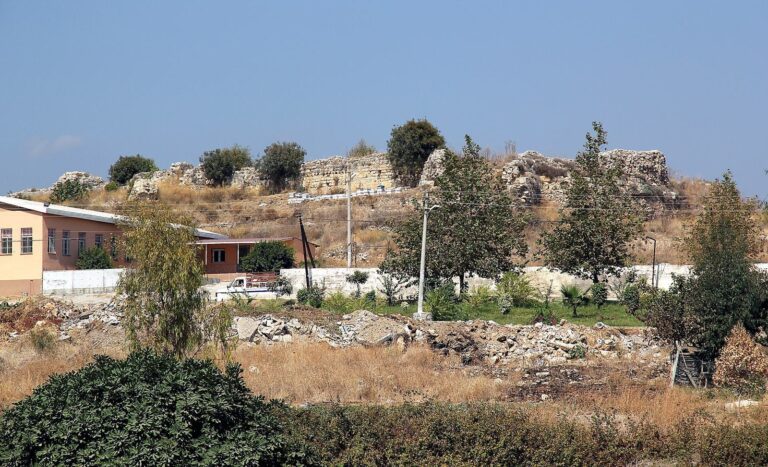
Tapureli’s planned streets follow the terrain of a plateau formed by three hills on the southern slopes of the Taurus Mountains. The site lies east of the Limonlu River canyon and overlooks Kızılgeçit Valley. The river, called the Lamos in antiquity, is near a settlement that stands about 1,050 metres above sea level and extends roughly 500 metres from east to west and 300 metres from north to south. Dense vegetation covers the area. Houses were generally arranged around courtyards used for movement and water supply, with cisterns and fountains serving these spaces.
Defences and domestic architecture
Hellenistic fortifications
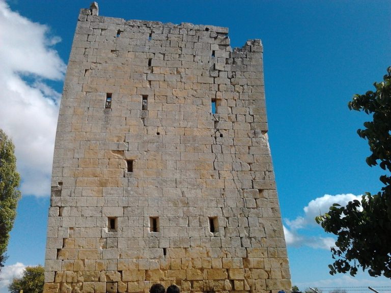
Hellenistic defensive works include walls made from irregularly shaped stones fitted together, as well as towers. These fortifications formed part of a settlement that also contained civilian houses.
Hellenistic houses
Hellenistic homes include symbols of swords and shields associated with the Olba dynasty. They form part of the settlement’s evidence for civilian life alongside its defensive structures.
Roman residences
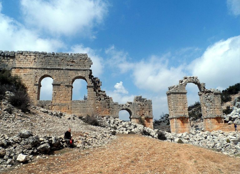
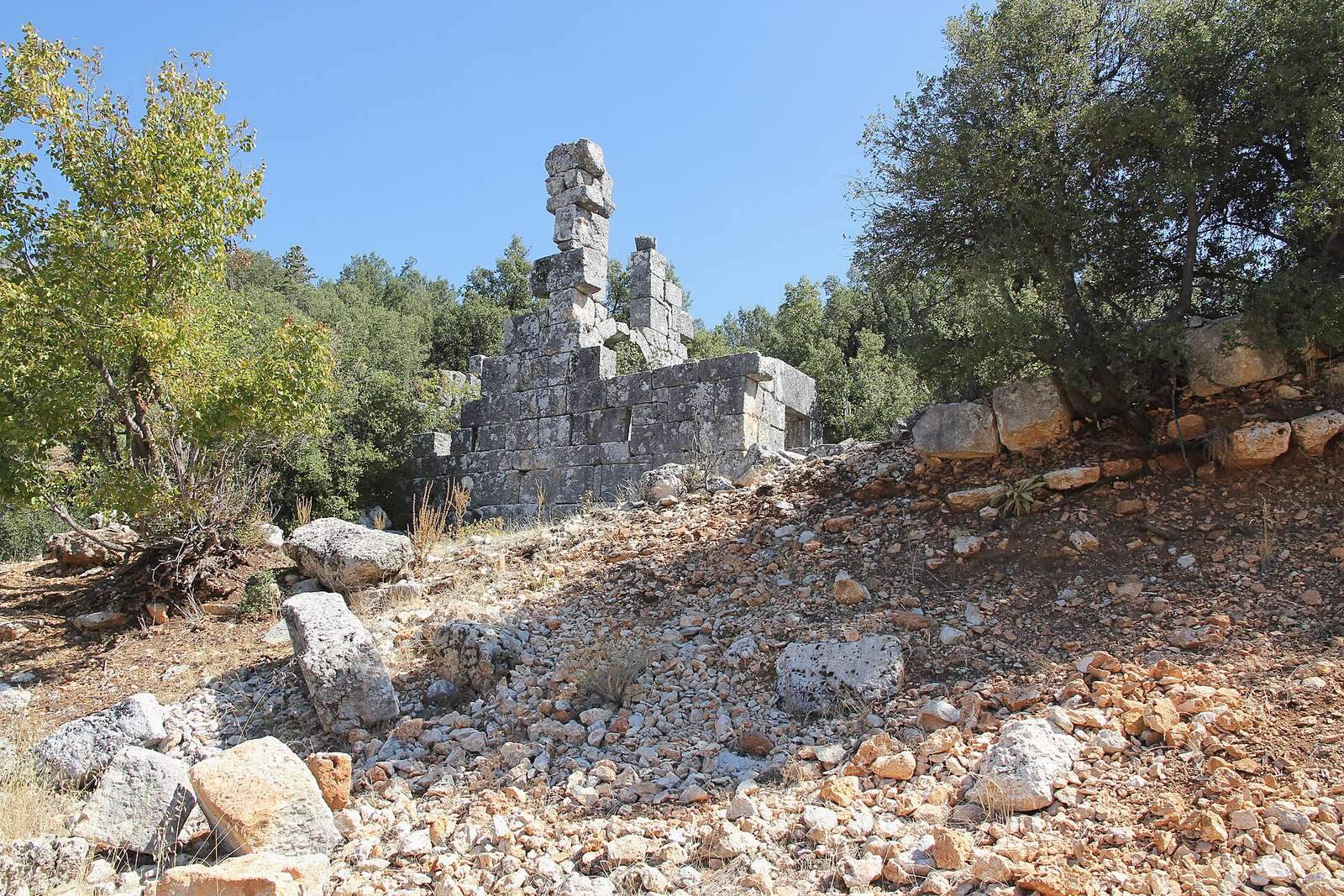
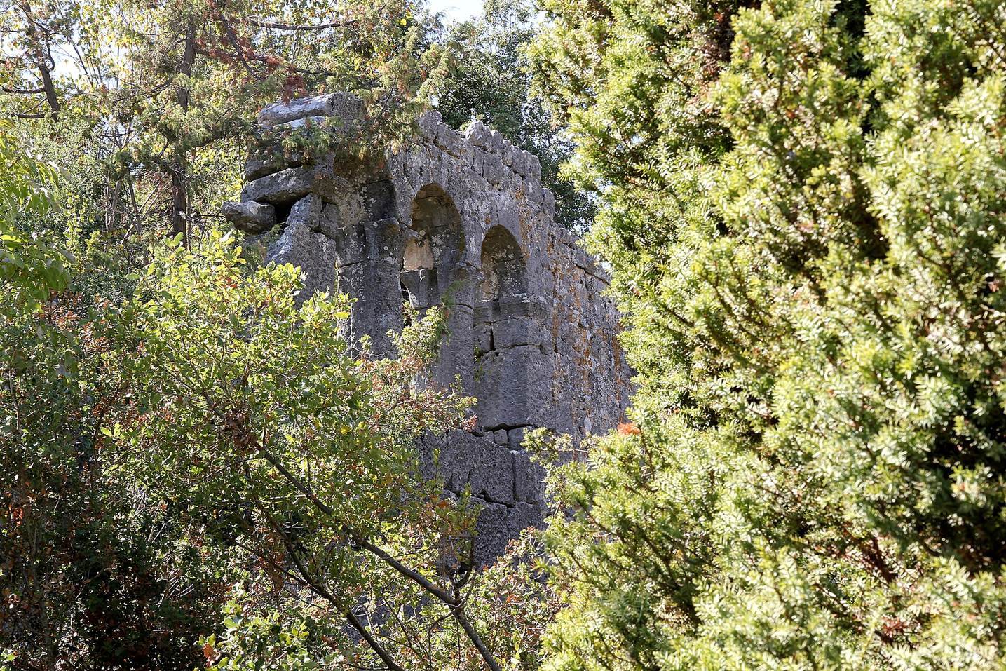
Roman houses include rock-cut sections and rectangular walls made from large, carefully cut stone blocks laid in regular courses. Some walls have shallow, column-like pilasters topped with capitals in Ionic or Corinthian styles.
Late Antique houses
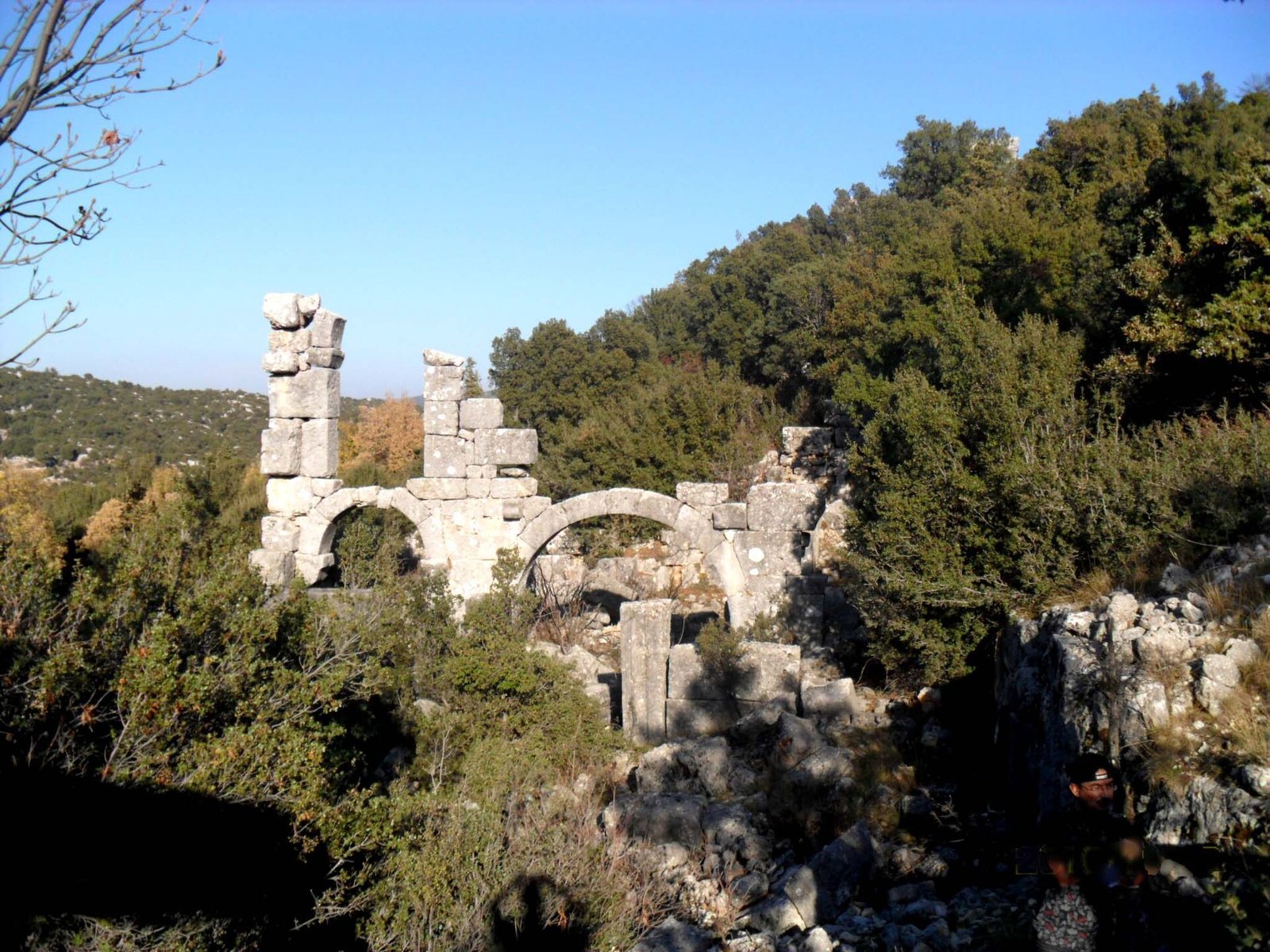
Late Antique houses were often enlarged by adding to existing buildings. Arched entrance galleries sheltered doorways from the weather. Some of the larger homes had courtyards and rose to three storeys.
Religious buildings
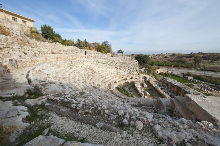
The remains include a Hellenistic temple, several churches, and a chapel. Identified buildings include a basilica designated C, a church also designated C, and the eastern church designated A. A rescue excavation took place in 2001, and finds recovered from church A are now exhibited at the Mersin Archaeological Museum.
Other architectural and carved remains
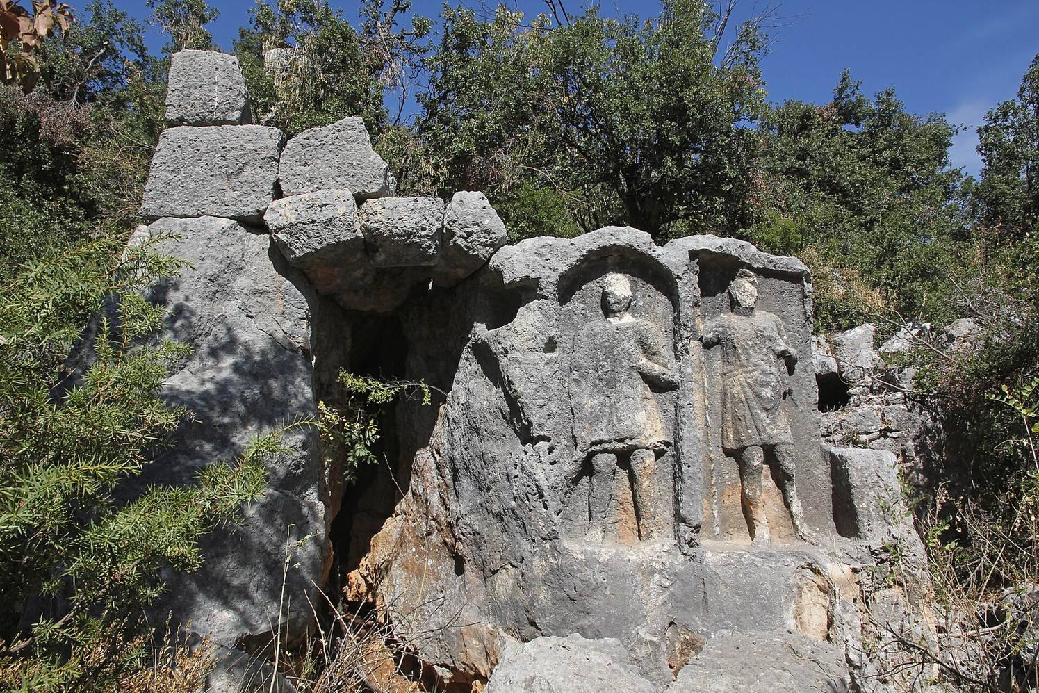
A structure with three barrel vaults, or continuous arched ceilings, is among the remains, as is a horizontal sundial. Carved reliefs depict two soldiers, a priest and a priestess, a grape cluster, and a thunderbolt associated with Zeus, a principal god of ancient Greek religion linked with thunder and lightning.
Cemetery and tombs
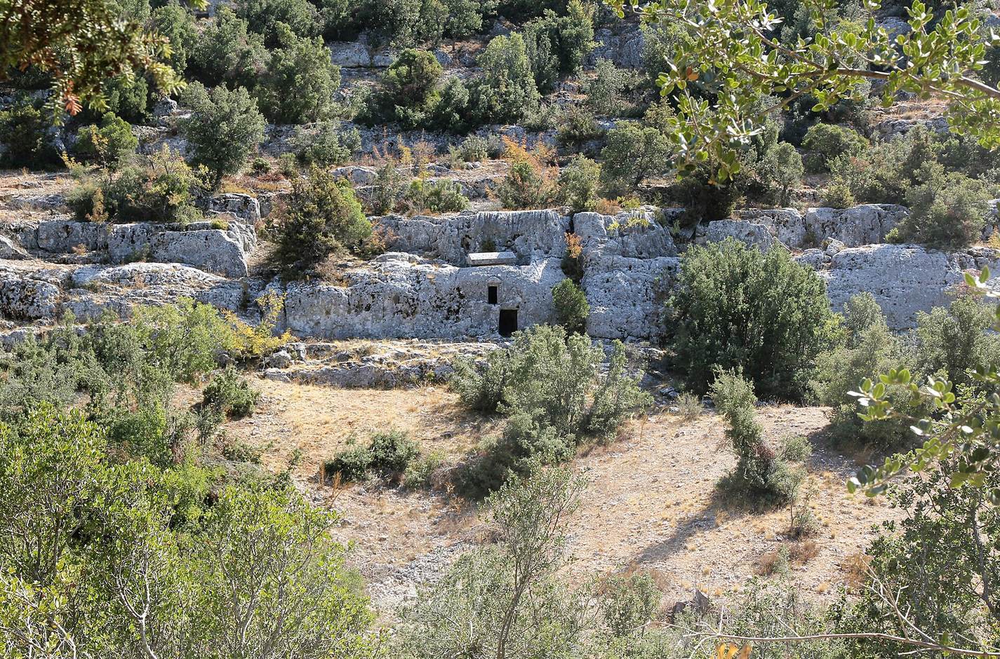
A cemetery occupies the southern slope and contains stone coffins, known as sarcophagi, and chamber tombs. Rock-cut tombs are also among the site’s remains.