Oppidum Finsterlohr: A Celtic Fortified Settlement in Germany
Site at a Glance
- Popularity
- Medium
- Country
- Germany
- Primary era
- Iron Age
- Eras represented
- Iron Age
- Civilizations
- Celtic
- Site type
- Military
- Remains
- Wall
On this page11 sections
History
La Tène settlement
Oppidum Finsterlohr, near Creglingen in Germany, was a large fortified Celtic settlement, or oppidum, dating to the La Tène period of the later European Iron Age. Its archaeological evidence points to some form of settlement, though the nature and extent of occupation remain uncertain.
Agriculture and soil removal during road construction have contributed to the scarcity of occupation finds, and bedrock lies close to the surface in places. Fieldwalking in recent decades has recovered Late La Tène objects at several locations inside the enclosure. Rainbow-cup coins, a type of Celtic coin, and other evidence of Celtic settlement are also relatively common in the surrounding area. These finds prompted the suggestion that the fortified site may have served as a refuge in emergencies. More recent interpretations regard them as evidence of some form of settlement and caution that limited surviving evidence in the soil cannot establish that the site was uninhabited.
Investigation and reconstruction
Archaeological work has been limited. In 1929, archaeologist Kurt Bittel identified remains of a pincer gate in the northwest of the enclosure. Road construction in 1973 led to examination of parts of the main and outer ramparts. Investigations resumed in 2007, and work in 2007 and 2008 confirmed a separate gate east of the main rampart, with several building phases.
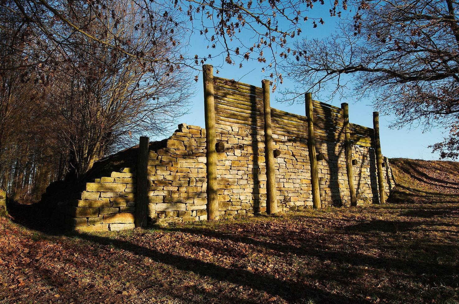
A section of the main rampart was reconstructed from 2008, and a reconstructed Celtic house was built in 2011. These additions form part of the site’s later interpretation.
Remains
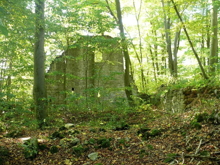
Enclosure and terrain
The fortified enclosure covers 123.5 hectares and includes the hamlet of Burgstall. The Tauber valley forms its boundary on two sides, while a stream valley borders it to the southeast. A small valley partly separates the western side from the plateau. The steep descent into the Tauber valley provided natural protection for the settlement.
Ramparts and gates
Ramparts
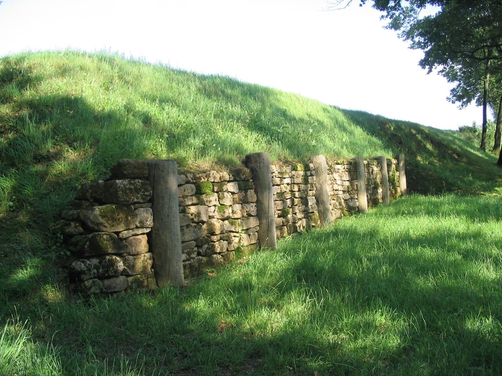
The main rampart encloses the site, with an outer rampart adding a second line of defense on the western side. Visible sections preserve traces of substantial earth, timber, and stone construction. The main rampart had three building phases. The earliest was replaced because it had a limited useful life. The next was a timber-reinforced Gallic wall type, but without its customary stone facing. The final phase used a post-slot wall, with upright timbers set into slots in the wall. The outer rampart had one construction phase.
Gates
The northwest pincer gate, an entrance whose wall arms narrow toward the passage, had two gate wings, each 3.5 meters wide, and a walkable crossing. Its form remains recognizable at the Old Gate. A separate gate east of the main rampart also had several construction phases.
Reconstructed features and interpretation
Reconstructed rampart
The rebuilt post-slot wall stands 12 meters long and reaches its full reconstructed height. It is incorporated into a 2.5-kilometer archaeological trail with six interpretive stops near Burgstall.
House and interpretive trail
The reconstructed Celtic house stands beside a flax-breaking hut and the trail panels. The stops address the fortifications, the Old Gate, the protective terrain of the Tauber valley, and the settlement’s development and use. Other panel subjects include Celtic coinage and language, jewelry, and the relationship between manor farms, valley settlements, and the oppidum. At the Old Lake stop, illustrations show a loom, bronze tweezers, a bronze nail cutter, and Celtic clay jugs. The panels also discuss long-distance routes between the Main triangle, the Swabian Alb, and the Danube, as well as salt production at Bad Mergentheim.