Heeßel Castle: A Medieval Fortification near Burgdorf, Germany
Site at a Glance
- Popularity
- Low
- Country
- Germany
- Primary era
- Medieval
- Eras represented
- Medieval
- Civilizations
- Unclassified
- Site type
- Military
- Remains
- Castle
On this page12 sections
History
Early occupation and the fortification
Heeßel Castle is a fortification near Heeßel in Burgdorf, Germany, associated with the ninth century. Pottery indicates that people occupied the site from the eighth to the thirteenth century, with activity especially strong in the tenth and eleventh centuries. The identities of the builders and users are unknown.
The mound and ramparts may have been constructed at different times. This possibility leaves open whether the castle developed around earthworks that had already been built.
The Depenau nobles
The castle may have served for a time as a seat of the Depenau nobles, who held power in the Burgdorf area during the twelfth and thirteenth centuries. Around 1236, Dietrich von Depenau travelled to West Prussia, where the Teutonic Order, a medieval Catholic military-religious order, granted him a castle and lands. His sons administered the family’s holdings around Burgdorf. The Depenau line ended with the death of Volrad von Depenau in 1283.
Recognition and investigation
Local people knew of the earthworks by the early twentieth century but believed they were natural formations left by glaciers. In the early 1930s, a landowner removed a 90-metre stretch of rampart for farming. A local teacher recognized the site’s archaeological importance, and the fortification was then protected as a cultural monument.
From March to June 1934, the Lower Saxony State Museum in Hanover investigated the site with student assistance. The work included about 25 trenches through the ground and ramparts, ten larger excavation areas, and a topographical survey that produced a detailed plan.
Remains
Layout and earthworks
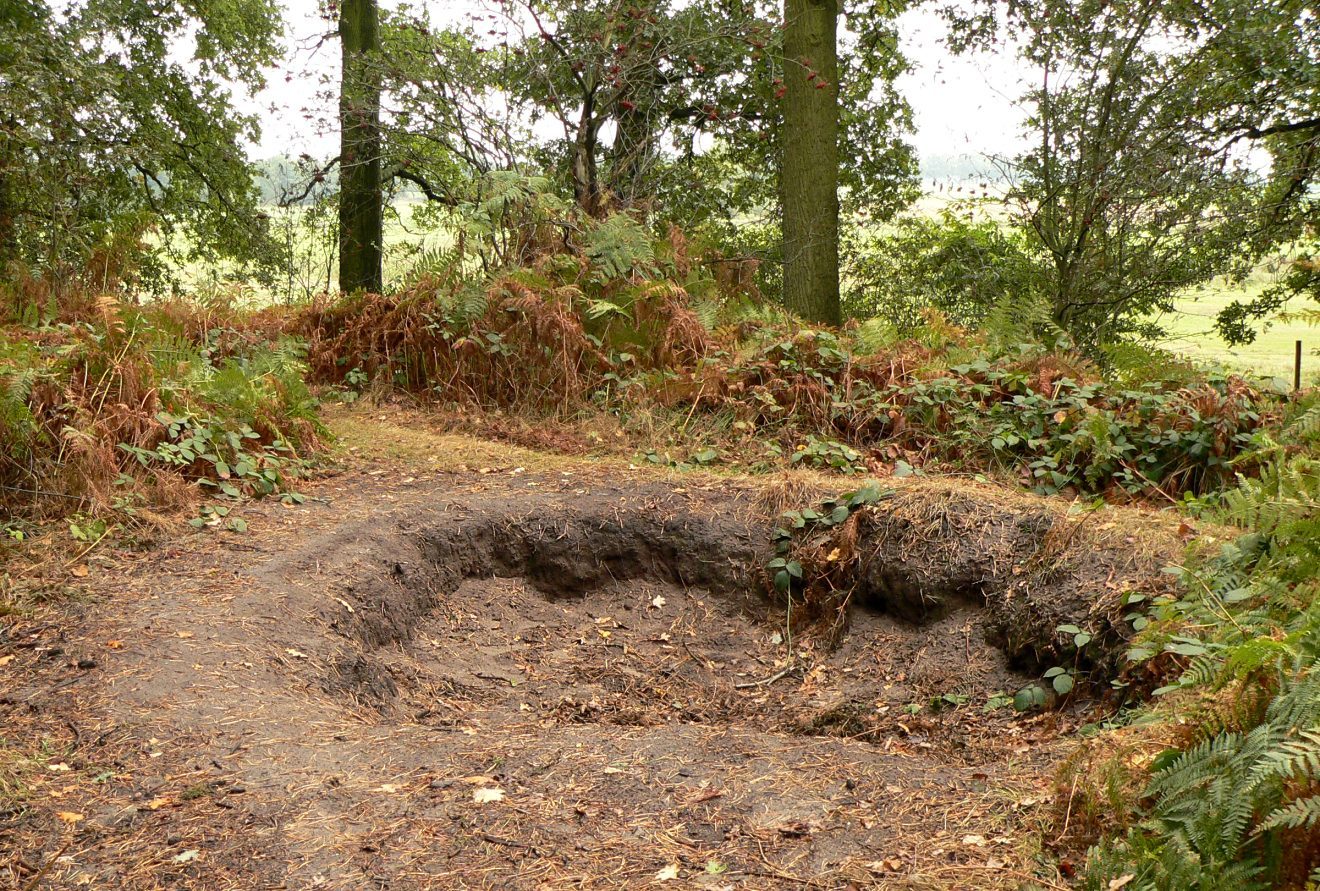
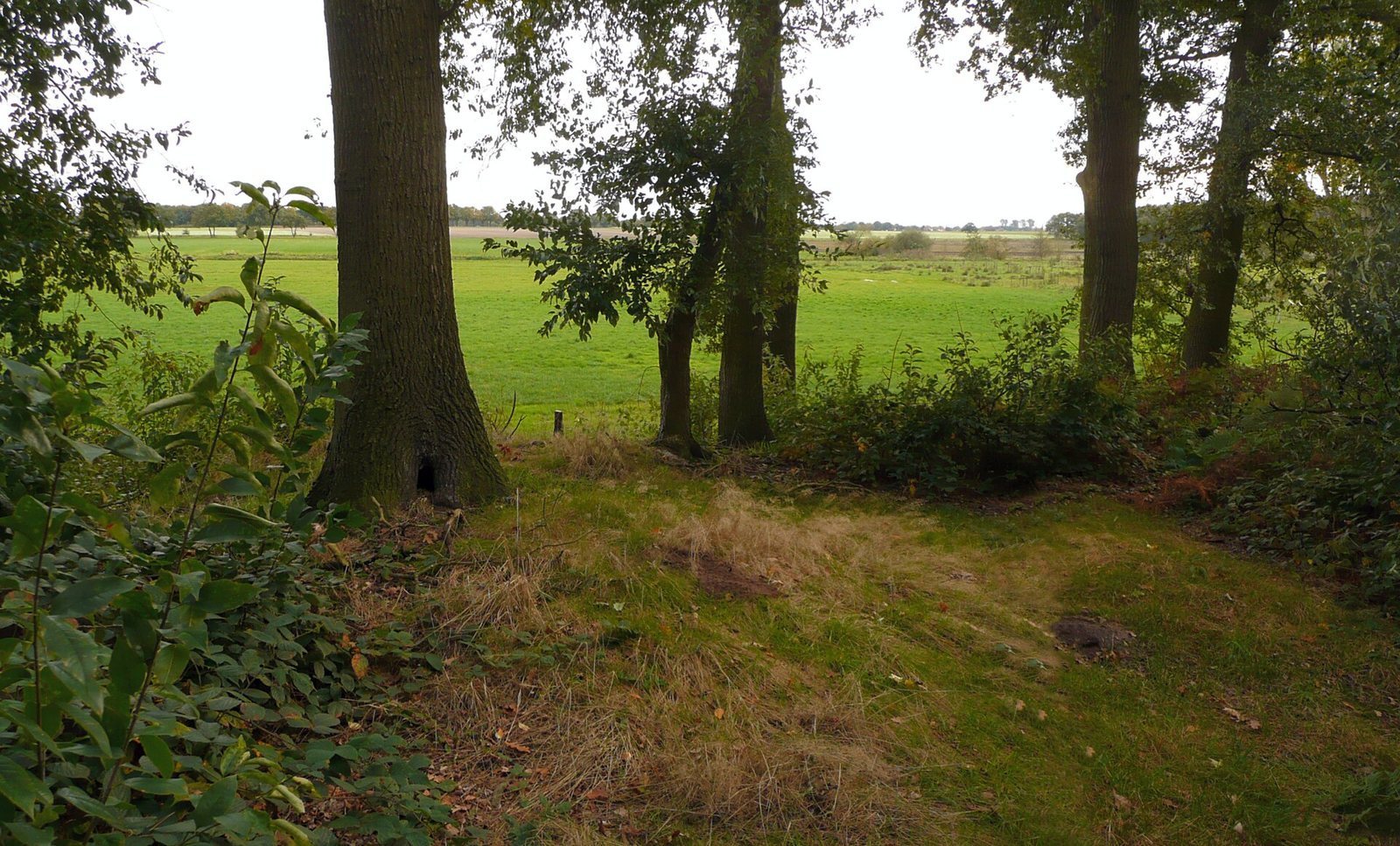
The castle stands in the Heeßeler Tannen woodland, about 200 metres outside Heeßel and two kilometres west of Burgdorf. It occupies a raised tongue of sandy ground that projects into former moorland. Its layout centres on a raised mound, enclosed by a large spiral-shaped rampart; a partial outer rampart forms a smaller triangular enclosure. Two gates protected the interior. The earthworks were made from sand, loam, and grass-covered earth, and surviving sections reach about three to five metres high.
Main enclosure and mound
The mound is described as approximately 20 by 20 metres; measurements within the main rampart give a footprint of 17 by 25 metres and a height of 2.5 metres. A ditch around it measured seven metres wide and one metre deep. A wooden tower probably stood on the mound and may have provided both defence and living space. A roughly 40-centimetre layer of fired grey loam within the main rampart has been interpreted as a flattened earlier rampart.
Outer enclosure
In the eastern part of the outer enclosure, a bog ironstone wall reinforced the rampart. Its foundation was 1.3 metres thick, and the wall may have stood about three metres high. In a later phase, the outer enclosure extended eastward into the lowland. A surviving rampart there is about 180 metres long, five metres wide, and one metre high, with remains along the road to Ahrbeck. It probably once formed part of a circle; farming removed substantial stretches.
Buildings and archaeological evidence
Main-castle buildings
Two buildings were identified within the main castle. One measured 10 by 6 metres, with foundations about 70 centimetres wide, a rammed-earth floor, and a masonry hearth. Its upper structure was probably timber. A separate masonry cooking place with ceramic remains lay directly in front of it. The other building measured 6 by 9 metres at its foundations, and its earth floor survived intact. On the mound, loose stones carried by glaciers were interpreted as foundation stones for an earlier building with a timber upper structure. Animal burrowing and digging had heavily disturbed the mound’s interior.
Outer-enclosure well
A well lined with timber was found in the outer enclosure. It was 1.5 metres deep.
Finds and evidence of woodland burning
Excavated finds included pottery fragments, an iron spur, parts of a leather shoe, and a hand mill for grinding grain. A charcoal layer identified during the 1934 work records the burning of woodland at the site.