Kostoperska Karpa: A Prehistoric Settlement and Late Antique Fortress
Site at a Glance
- Popularity
- Low
- Country
- North Macedonia
- Primary era
- Medieval
- Eras represented
- Stone Age, Iron Age, Classical, Medieval, Early Modern
- Civilizations
- Byzantine, Ottoman, Roman
- Site type
- City
On this page17 sections
History
Kostoperska Karpa is an archaeological settlement and fortified hilltop at Mlado Nagorichane, North Macedonia. Occupied from the Eneolithic, or Copper Age, its naturally defensible position made it important for controlling two routes, and it was fortified in Late Antiquity, the later centuries of the Roman Empire and the transition to the medieval era.
Prehistoric and early settlement
Communities occupied the outcrop from the fourth to third millennia BCE, and a fortified settlement existed there in prehistory. A settlement later developed on the southern slope during the fifth and sixth centuries BCE. It was abandoned in the third century BCE. Activity resumed in the Roman period, when tombs were placed at the site.
Roman and Late Antique fortification
From the fourth to sixth centuries CE, the hill was fortified. Its position helped control two routes, giving the settlement a strategic role. During Late Antiquity, settlement also extended across the slope beyond the fortified hilltop.
Churches and medieval regional importance
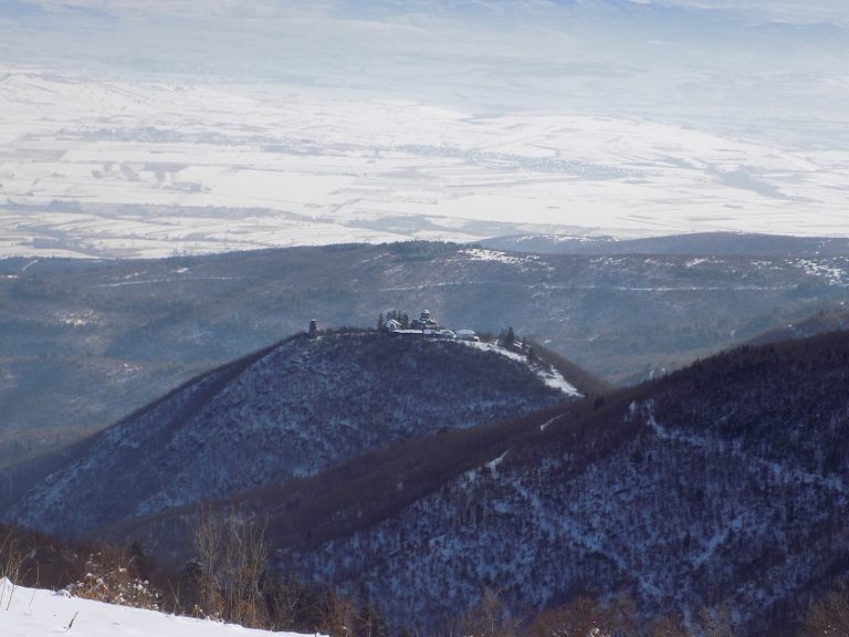
An early Christian basilica, a church with a long central space, probably stood on the plateau in the fifth century. A later church was built over it in the tenth or eleventh century and occupied only the basilica’s central nave. The locality became known as the Little Holy Mountain for its churches. About 40 churches are associated with the area, including 12 described as medieval.
Kostoperska Karpa gained importance during thirteenth-century wars between the Byzantine Empire, the eastern Roman Empire, and Bulgaria, followed by conflicts involving Serbia. The empire’s northern frontier remained in the area for a time. Žegligovo became a regional center in the thirteenth and fourteenth centuries, and local tradition identifies the site with the city of that name. Žegligovo survives in the alternative name Žegligovski Stone and in the name of the wider region.
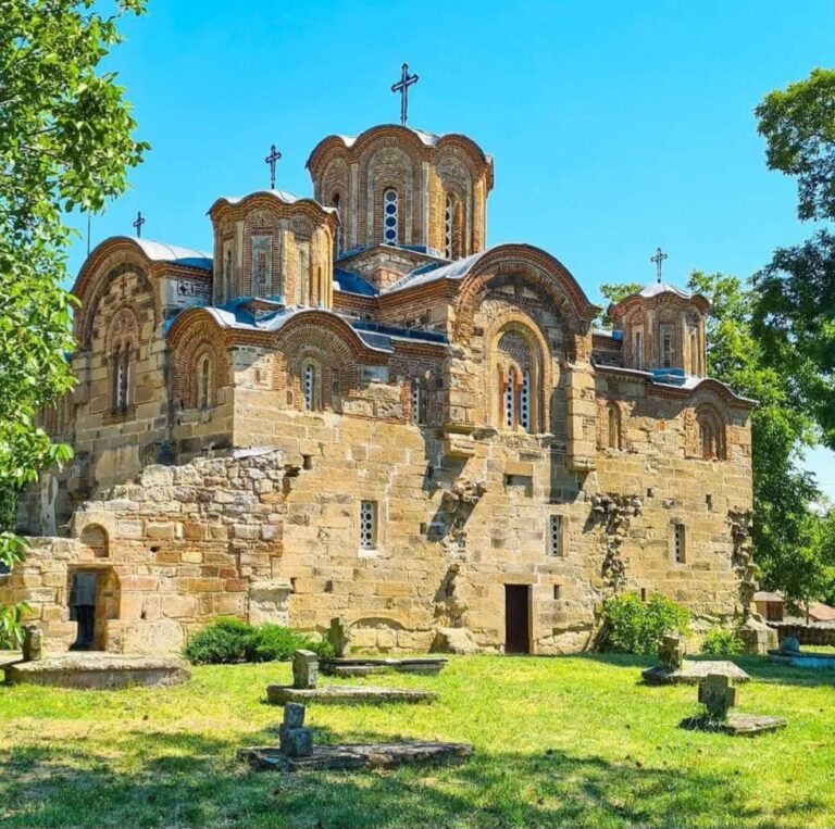
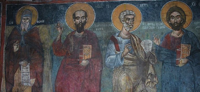
St George and St Petka are among the churches that survive in the locality. St Petka was painted in 1628, and both churches are assigned to the post-Byzantine period, following the Byzantine Empire, in the seventeenth and eighteenth centuries. The churches of the Holy Physicians and St Nicholas survive as ruins or foundations.
Ottoman period and archaeological investigations
From the fifteenth century onward, Ottoman records refer to Nagorich as a village and the center of a nahiye, an Ottoman administrative district. Finds from this period represent the latest phase identified in the site’s sequence of occupation.
Rescue excavations in 1983 uncovered six graves dating to the first half of the fourth century BCE. Further work in 1987 confirmed a large settlement, while the basilica was excavated between 1983 and 1986. In spring 2015, the Archaeological Museum in Kumanovo began a new investigation led by archaeologist Dragana Mladenović of the University of Southampton, with researchers from Oxford and Edinburgh. A cemetery about one kilometre west of the site was also excavated; its graves date from the fourth to sixth centuries CE.
Remains
The outcrop and settlement layout
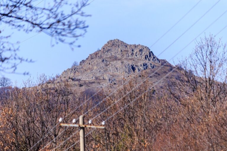
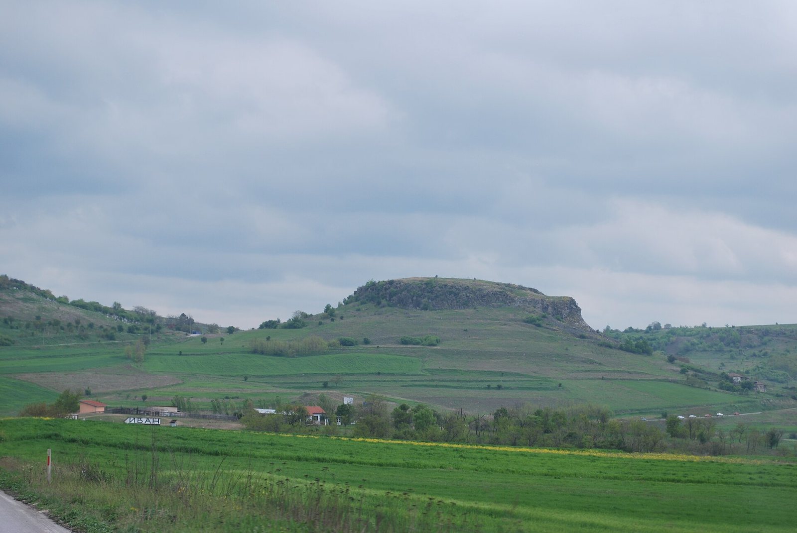
The site occupies a volcanic basalt outcrop on the southwestern edge of Mlado Nagorichane, about nine kilometres east of Kumanovo. Its level summit rises above steep sides 12 to 20 metres high, with another basalt outcrop to the north. The hill overlooks the landscape eastward toward the Pčinja River. Its highest area forms a naturally protected plateau, or acropolis, the high, defensible part of a settlement. Occupation lasted longest there, and cultural deposits exceed two metres in depth. Hellenistic and especially Late Antique material extends across foothill terraces covering about nine hectares.
Evidence of early occupation
Finds from the Copper Age include finely made pottery decorated with geometric designs using graphite, along with small figurines, stone and bone tools, and animal bones. Vessel fragments from the Iron Age occur at the southern edge of the rock terrace. Fragments of pottery in the Hellenistic style have been found on the acropolis.
Defences and underground structures
Late Antique enclosure
A defensive wall enclosed an area about 150 by 90 metres. Its entrance was at the southern end, where later basalt quarrying destroyed part of the site.
Subterranean water complex
A complex in the southern foothill was interpreted as a water cistern. It includes two rooms and an access corridor, with a main chamber featuring ledge-like projections, further corridors, two reservoirs, and vertical ventilation openings. Pottery places the complex in the fifth and sixth centuries. The two cisterns date to the sixth century and are half-destroyed.
Rock-cut sanctuary
A separate underground sanctuary, or hypogeum, was cut into the rock at the southeastern foot of the hill.
Churches and burial areas
Church remains
The basilica stood at the summit. Foundations of an apsidal building, one with a recessed semicircular end, were found in the central area and may belong to the basilica. Near the rock, foundations mark the churches of the Holy Physicians and St Nicholas; St George and St Petka also survive in the locality.
Graves
Seven medieval graves were investigated around the central building. Other graves lie at the northern foot of the outcrop. South and west of the later church, burials with jewellery date from the tenth to thirteenth centuries.
Later settlement and archaeological finds
Late Antique small metal and ceramic objects, building pottery, and more than one hundred coins dated to the third through sixth centuries have been found at the site. Medieval finds include Byzantine painted pottery from the twelfth to fourteenth centuries, Slavic hearth pottery, and arrowheads of medieval form. Late medieval pottery and Ottoman coins indicate an unfortified suburb on the eastern and southern slopes, covering about two to three hectares. Ottoman pottery includes vessels glazed in yellow and green.
Roads through the area
The main Skopje–Kyustendil road passes the outcrop. In antiquity it was known as the Scupi–Pautalia route, linking the cities corresponding to modern Skopje and Kyustendil. About one kilometre east of the site, it meets an older route running from Niš and Vranje in the north toward Ovče Pole and Štip in the south.