Ōmi Kokuchō: The Provincial Administrative Center of Ōmi Province
Site at a Glance
- Popularity
- Medium
- Country
- Japan
- Primary era
- Medieval
- Eras represented
- Medieval
- Civilizations
- Unclassified
- Site type
- Civic
- Remains
- Palace
On this page10 sections
History
Ōmi Kokuchō was the kokufu, or provincial administrative center, of Ōmi Province, in the present-day Ōe neighborhood of Ōtsu, Shiga Prefecture, Japan. It operated under the Ritsuryō system, a framework of centralized government and administration. The center housed the provincial governor’s official residence and offices. As administration was standardized, provinces were divided into districts; in 715, each district comprised two to twenty townships.
Nara and Heian periods
The administrative precinct was built in two phases. The first dates to the middle of the Nara period, and the second to the end of that period and the beginning of the Heian period. The complex remained in use until around the end of the 10th century, when it was abandoned.
Identification and protection
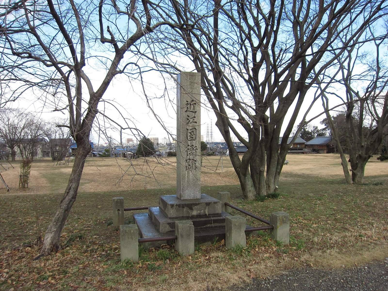
In 1935, a historical geographer proposed a location for the provincial capital near present-day Ōe. It was the first identified example of an original provincial-capital complex described in the 10th-century Wamyō Ruijushō, a Japanese dictionary arranged by word categories. Excavations from 1963 to 1965 confirmed the central administrative precinct. The buildings’ arrangement and functions were comparable to those at Heijō Palace, the imperial palace and government center of Japan’s Nara-period capital. The discoveries subsequently helped researchers identify and interpret other provincial capitals.
Ōmi Kokuchō has been protected as a National Historic Site of Japan since 1973. The protected area was expanded to include the Sōyama Site in 1998, the Aoei Site in 2005, and the Chūroi Site in 2009.
Remains
Capital layout
The provincial-capital area is estimated to have covered eight to nine chō on each side, with the kokuchō at the center of its southern edge. A chō is a traditional Japanese unit of length. The administrative center itself is estimated to have measured two chō east to west and three north to south. Two enclosures, one inside the other, defined the complex. Each had a moat and an earthen rampart topped by a wooden palisade. Earthen walls also enclosed the inner administrative precinct on all four sides, measuring 72.8 m east to west and an estimated 109 m north to south.
Government buildings
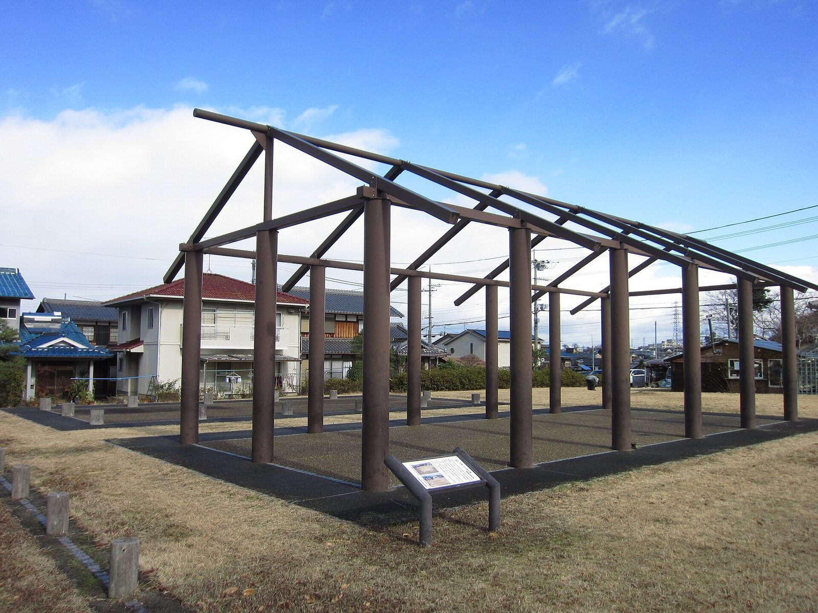
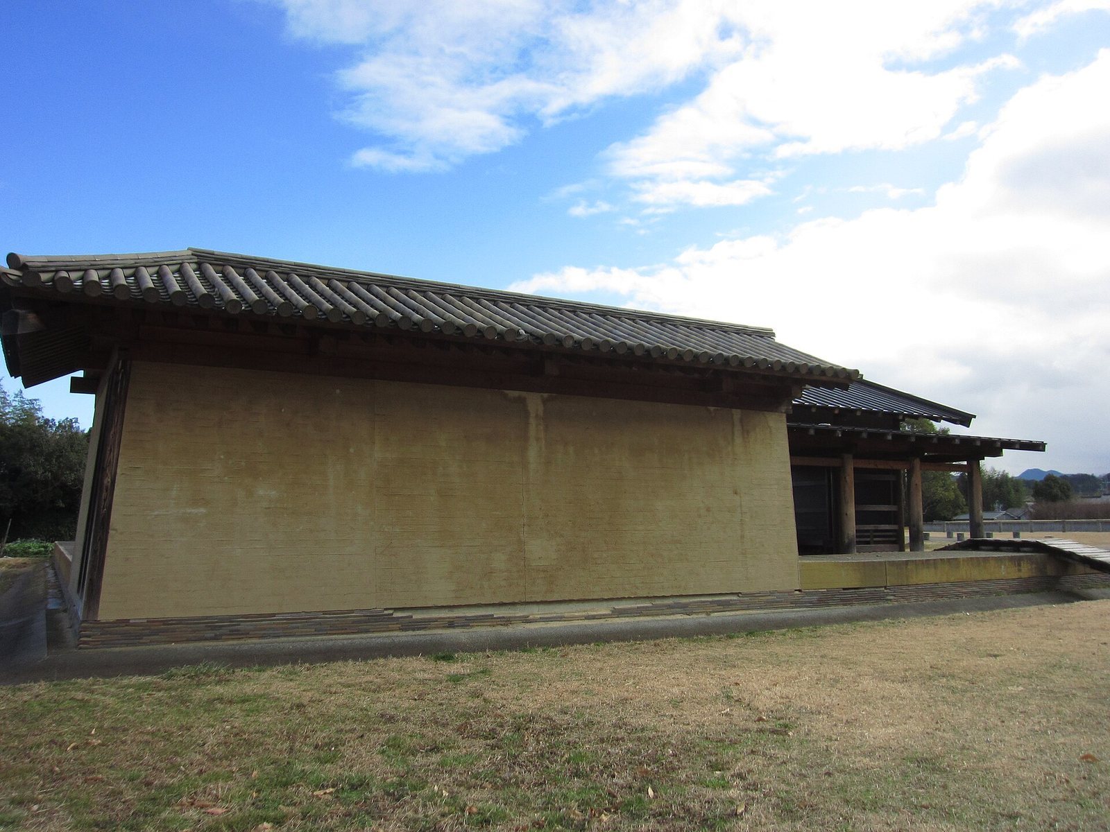
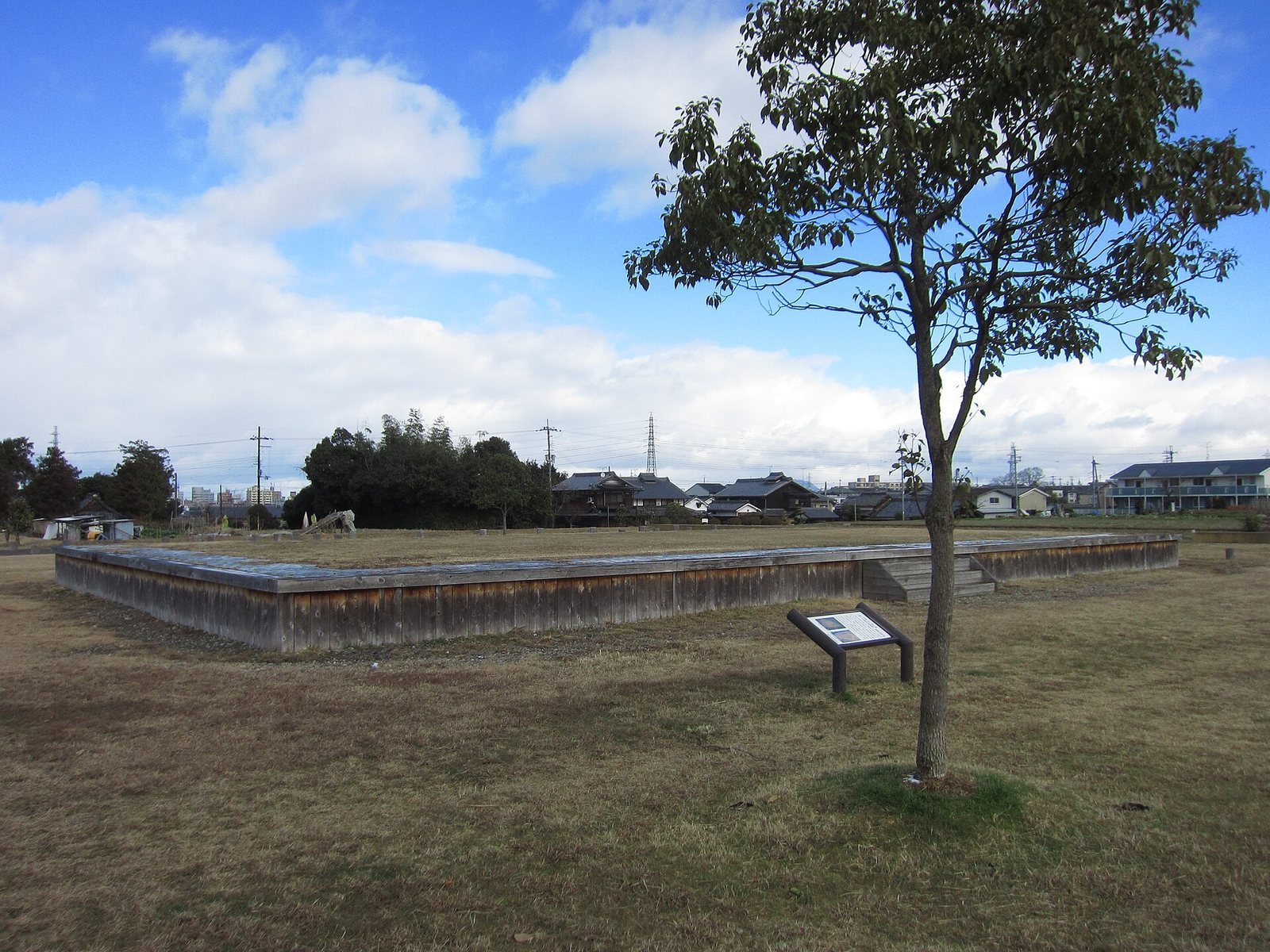
Inside the inner enclosure, an elevated earthen platform held the foundation stones of government buildings. The platform measured 48.5 m north to south and 9.2 m east to west. Four buildings with tile roofs and foundations faced with tile were arranged symmetrically around the precinct’s central axis. The front hall measured about 23.1 m east to west by 15 m north to south, with seven bays across and five from front to back. Bays are spaces between structural supports. A smaller hall stood behind it, while eastern and western halls extended alongside the front hall to form a U-shaped courtyard. Corridors connected the side halls to the front hall.
Associated compounds
Sōyama Site
About 500 m southeast of the main ruins, the Sōyama Site contains foundations for twelve granaries used to store tax rice.
Aoei Site
The Aoei Site lies about 300 m south of the main site’s south gate. Its smaller enclosure had a moat and palisade, and building remains follow a plan that includes three construction phases. The buildings’ purpose is uncertain, though roof tiles matching those at Sōyama and the main site suggest that Aoei may have housed provincial administrative offices. Finds include pottery inscribed with the era name Tenpyō Shōhō, used in Japan during the eighth century, and inkstones.
Chūroi Site
Northwest of Aoei, the Chūroi Site contains traces of two buildings. Excavated roof tiles match those from the main ruins. The buildings’ position suggests that this compound may have been the provincial governor’s official residence.