Castra of Eulbach: A Roman Frontier Fort on the Neckar-Odenwald Limes
Site at a Glance
- Popularity
- Low
- Country
- Germany
- Primary era
- Classical
- Eras represented
- Classical
- Civilizations
- Roman
- Site type
- Military
- Remains
- Fort
On this page7 sections
History
Construction and frontier service
The Castra of Eulbach was a Roman auxiliary fort in Michelstadt, Germany, probably occupied from the Trajanic period (AD 98–117) on the older Odenwald line of the Neckar-Odenwald Limes, the Roman frontier system. Its garrison is unidentified, but it probably consisted of an auxiliary force of about 160 soldiers. The fort had at least two building phases, beginning with timber and earth and later using stone.
The date proposed for the establishment of the Odenwald frontier has changed over time. It was conventionally placed around AD 100, with an estimated margin of about five years. Later statistical reassessment of coin finds favored AD 107–110, without new excavation evidence. These dates concern the frontier, not a precisely established construction date for the fort.
Abandonment and rediscovery
Around AD 159, the Roman frontier was advanced and the fort was abandoned. Its ruins remained visible for centuries and were mentioned in records from the early ninth century and again in the eleventh. A village later developed in the area, but it was destroyed during the Thirty Years’ War, a major European conflict.
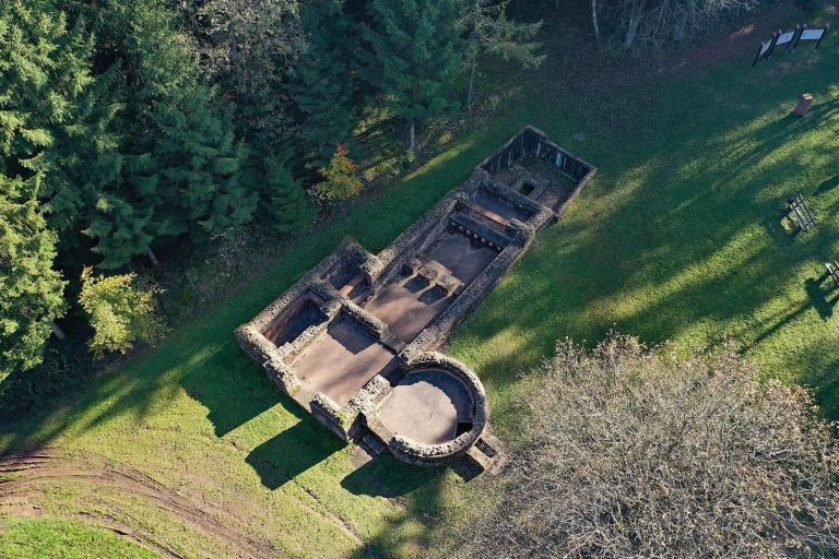
Agricultural work led to the fort’s rediscovery in 1806. Johann Friedrich Knapp investigated and cleared the site on behalf of Count Franz I of Erbach-Erbach. The bath was located in 1889. In 1895, the Reich Limes Commission excavated the fort under the local direction of Friedrich Kofler. By then, the site had already suffered extensive destruction.
Remains
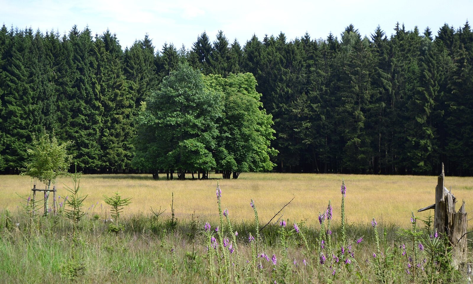
The fort occupied a compact, near-rectangular enclosure with an interior measuring about 70 by 78 metres and an area of roughly 5,500 square metres. It stands at about 510 metres above sea level on a north–south ridge in woodland between Vielbrunn and Würzberg, within Michelstadt. The ground slopes east and south, and the Limes lies about 80 metres to the east. In an open landscape, the eastern and southeastern valleys toward the Main would have been visible from the site. The B 47 crosses the archaeological area.
Enclosure and defenses
The fort’s east-facing front looked toward the Limes. Its perimeter wall, probably just under 1.1 metres thick, was built of white sandstone. Three gates were identified: a main gate on the eastern front and one in each side wall. Excavation could not establish whether the rear had an entrance or only a small secondary opening. Outside the wall, a berm about 0.75 metres wide separated it from a surrounding ditch, roughly 6–7.5 metres wide and 1.5–1.6 metres deep. Earthen causeways crossed the ditch opposite the side gates. Inside the wall, an approximately five-metre-wide rampart carried the wall-walk.
Roads and interior buildings
Four principal roads crossed the fort’s interior, connecting the front and rear, the two sides, and the inner perimeter. Their surfaces used packed stone, smaller stones, and pebbles. Brick fragments and paved surfaces interpreted as floors indicate that permanent buildings once stood inside the enclosure. Excavators reconstructed the plan from foundation trenches and stone packing, and only faint traces remain at the fort today.
Remains in Eulbach Park
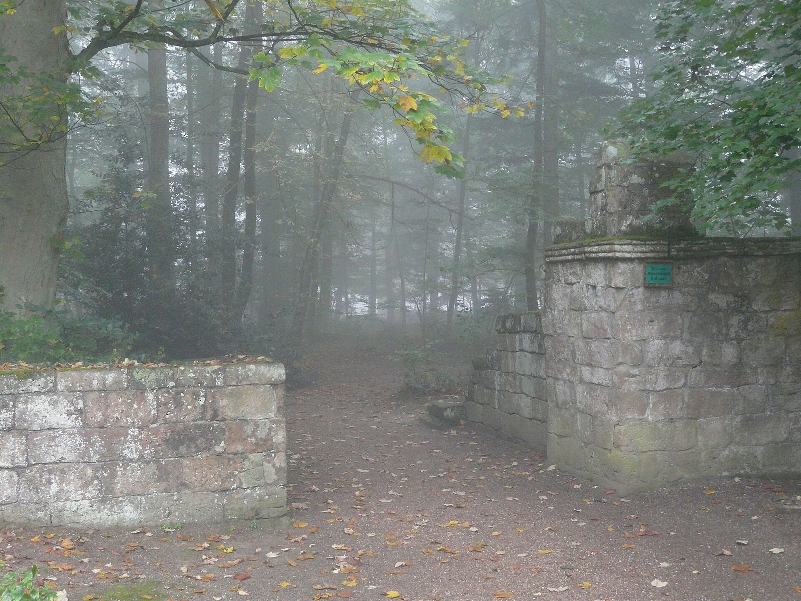
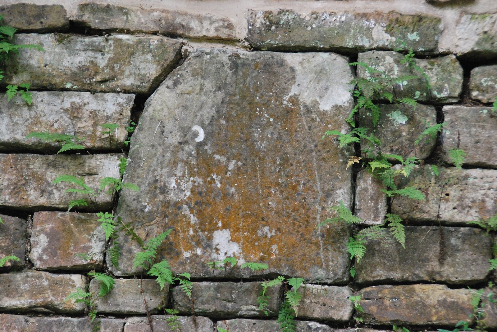
During the early investigations, most building remains and other finds were transferred to the adjacent Eulbach Park. Some were rebuilt in the style of the period, while other pieces were reused as architectural fragments in the park’s landscape. The main gate, dismantled by the early nineteenth century, was reconstructed there using Knapp’s records.