Bayan-Under: A Xiongnu Fortified Settlement in Russia
Site at a Glance
- Popularity
- Medium
- Country
- Russia
- Primary era
- Classical
- Eras represented
- Classical
- Civilizations
- Xiongnu
- Site type
- Military
- Remains
- Fortified Town
On this page15 sections
History
Xiongnu settlement and military setting
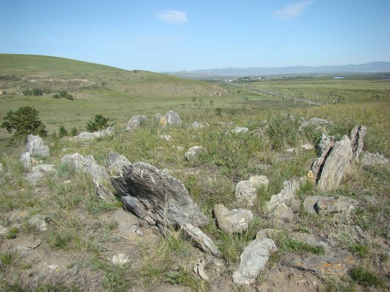
Bayan-Under is a fortified settlement built by the Xiongnu, a major Inner Asian people and political confederation, on the left bank of the Dzhida River in Russia. It dates to about the first century BCE. Its precise place in Xiongnu society is uncertain. Scholars have proposed that settlements of this kind housed semi-nomadic Xiongnu communities, or mainly migrants and captives from settled farming societies.
The settlement’s small scale has been interpreted as evidence of a modest population not engaged in large-scale manufacturing. Archaeologist S. V. Danilov suggested that Bayan-Under may have been the residence of a local leader whose authority was limited to his rank. More broadly, Xiongnu towns were considered too small to withstand large armies. Xiongnu military practice relied on mobile forces and treated defending settlements under siege with skepticism.
Rediscovery, research, and protection
The site was first described as Goly-Ochi, a name taken from a former village across the Dzhida River. After Danilov’s research, it became known as Bayan-Under, meaning rich height. Archaeologist A. P. Okladnikov identified the settlement in 1949, and P. B. Konovalov inspected it in 1985. Beginning in 1988, an expedition led by Danilov mapped the area, trenched the ramparts in 1989, and excavated in 1990 and 1991.
A team led by Danilov surveyed the settlement in 2008. Ground-penetrating radar work in the early 2020s further clarified its layout without excavation. The monument received state protection under a 1983 resolution of the Council of Ministers of the Buryat ASSR. In 2015, it was registered as a cultural heritage monument of federal significance in Russia.
Remains
Fortifications and settlement plan
The roughly quadrangular settlement has two ramparts and a ditch. The inner defenses enclose an almost square area about 70 by 70 m, while the outer rampart surrounds an area about 200 by 180 m. The ditch lies outside the inner rampart. Within the defenses, walls of compacted earth, river sand, and gravel enclosed an area where two buildings were found.
Inner rampart and ditch
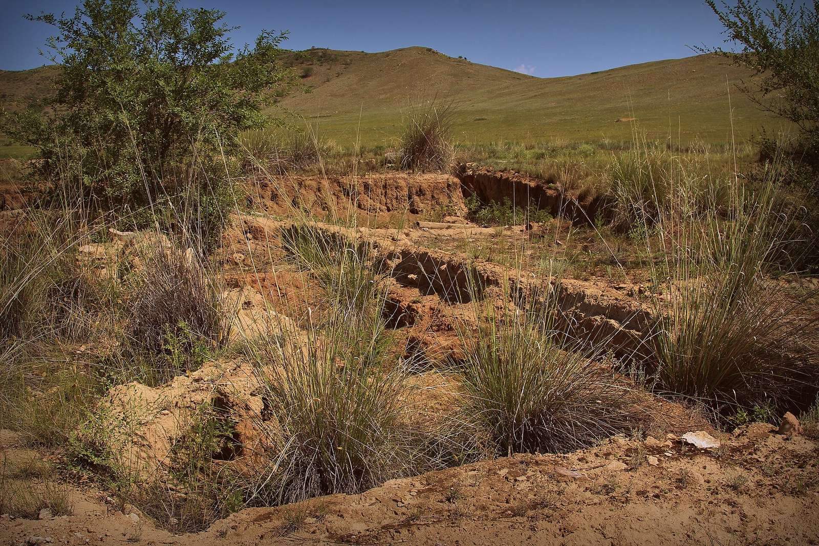
The inner rampart rises about 1.1 m above the modern ground on its outer side and about 0.8 m on its inner side. At excavation, it appeared as a ruined clay structure containing fine and medium gravel. Thick wooden stakes had reinforced it, and stake remains were found along its northern section. Danilov proposed that the rampart’s earth came from digging the adjacent ditch. The ditch measures about 3.2 to 3.3 m across at the top and 1.6 m deep from the modern ground surface.
Outer rampart
The outer rampart survives as a low ridge, about 10 to 20 cm above the surrounding ground. Excavation revealed irregularly scattered stones, but a trench across the ridge did not clarify its construction or purpose. Both ramparts were about 10 to 15 m wide at the time of excavation. Grass-covered stones also lay along their crests, though their function is uncertain. On the river-facing southern stretch, Danilov interpreted rows of stones as a possible line of defenses; similar stones occurred elsewhere along the rampart. Two stone slabs were found on its crest, including one measuring 0.5 by 1.6 m. The eastern side meets the river and was probably eroded.
Entrance and circular rise
An entrance in the southern part of the rampart was marked by two wooden posts. About 15 m beyond it, directly opposite, a circular rise stands 1 m high and measures 12 m across. Danilov proposed that the rise formed part of the defenses, perhaps as a gate tower.
Buildings and enclosures
Northwestern building
In the settlement’s northwest corner, excavators uncovered the lower remains of an above-ground building with an area of about 70 m². Its irregular quadrilateral sides measured 8.7, 8, 7.6, and 8.9 m. The walls, about 0.5 m thick, were made of unfired clay, shaped and dried without being fired in a kiln. Builders placed wet clay into prepared formwork, traces of whose boards remained on the outer faces. The vertical walls were coated with a further 2 to 3 cm of clay.
The entrance was in the southern wall near the southeast corner, with wooden posts flanking it. Clay projections outside the walls held fragments of wooden posts set on stone bases at the bottoms of postholes. Four projections ran along the north wall, two along the south, and one on each of the east and west walls. Danilov interpreted the posts as supports for central and side beams, which carried the rafters and helped steady the walls. A post inside the building, set in a shallow pit on a stone slab, supported the central beam. The building’s height is uncertain, but its construction suggests a likely gabled roof.
Surrounding enclosure and passage
A clay enclosure followed the building’s outline, standing between 1.55 and 1.7 m from its walls. Danilov considered it a substantial structure rather than decoration and proposed that it separated an area whose practical use is uncertain. From the enclosure’s southwest corner, a passage extended about 8 m south as a corridor. A clay walkway connected the building’s entrance with an opening in the enclosure; the walkway’s side walls were 0.4 to 0.55 m thick and 1.4 m long. The corridor led into a courtyard between the building and its surrounding walls. The building combines features associated with residential and utility spaces.
Heating system and eastern structure
A heating installation occupied the building’s northeast corner. It consisted of a hearth and heat channels lined with granite slabs. Large stones, some still partly upright, survived from a channel running along the north and west walls.
East of the inner rampart, another structure was represented by stone slabs forming three walls. It may have been a dwelling, but its function remains uncertain.
Radar findings and excavated objects
Features identified by radar
Ground-penetrating radar indicated a level area containing clay buildings and enclosures. It also identified what appeared to be a fortified entrance to an enclosed building adjoining the middle of the settlement’s southern wall, along with probable sections of that building’s southern and eastern walls. In the northeast corner of the inner rampart, the survey detected an oval, pit-shaped feature. It also revealed four localized features, each about 5 by 5 m, between the ditch and outer rampart, and three more near the outer rampart’s northeastern section.
Pottery, animal bones, and bronze mirror
Excavations yielded pottery fragments, including brown sherds with burnished surfaces, a black vessel-wall fragment 0.7 cm thick, and a gray, thick-walled fragment measuring 1.4 cm. Other pieces came from black-walled vessels or from poorly fired clay mixed with sand. Animal-bone fragments were also recovered.
In the building’s northeast corner, Danilov found a flat, round mirror made of white tin-bearing bronze. Identified as a Han mirror, it was used as a ritual object in funerary rites. It appears to have been broken with an iron knife sharpened along one edge, also found at the settlement. The mirror measures 8 cm across and is well preserved, with only two fragments missing. By comparison, the other 24 mirrors found in southern Buryatia and northern Mongolia were fragmentary. The object is held at the museum of the Buryat Scientific Center of the Siberian Branch of the Russian Academy of Sciences.
The mirror has a slightly worn central knob with a flat top, surrounded by a rim and a ring whose inner edge forms twelve arches. A sloping rim, 0.8 cm wide, runs around its outer edge. Fourteen characters survive in an inscription between parallel bands, with two characters lost. Mirror researcher I. V. Filippova proposed that the missing characters included the word for sun and a connecting character. Her reconstruction gives the sense that when sunlight is seen, the world is very bright. The mirror’s date is difficult to determine because Han-style objects were imitated in China during the later Tang and Song dynasties.