Milseburg: A Celtic Oppidum and Medieval Castle on a German Mountain
Site at a Glance
- Popularity
- High
- Country
- Germany
- Primary era
- Iron Age
- Eras represented
- Iron Age, Medieval
- Civilizations
- Celtic, Holy Roman Empire
- Site type
- Military
- Remains
- Fortified Town
On this page11 sections
History
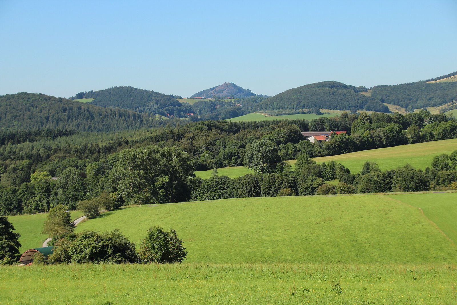
Milseburg is a mountain in Germany known for an Iron Age Celtic oppidum, or large fortified settlement, on its plateau. The settlement may have served as a meeting place between Celtic and Germanic communities in the region.
Prehistoric and Iron Age occupation
Evidence indicates that people occupied the mountain around 1200–800 BC and again from about 450 BC until the turn of the era. Pottery points to particularly intensive settlement from the late Hallstatt through the late La Tène periods, successive Iron Age cultural periods, roughly from the sixth or fifth to the first centuries BC.
Medieval records and Christian tradition
An imperial document dated 25 July 980 names the mountain Milsiburg and places it on the boundary between the territory of Fulda Abbey and the area belonging to Hünfeld. Fulda Abbey was a Benedictine monastery whose lands extended beyond the abbey itself. The oldest surviving document to name the castle explicitly dates to 1119. The castle may have been built earlier and was probably abandoned by the thirteenth century.
A local Christian legend explains the mountain’s origin through the story of Mils, a giant who allied himself with the devil. Saint Gangulphus defeated him. In one version, Mils then killed himself, and the devil covered his body with stones to form the mountain. The Gangolf Chapel is a pilgrimage chapel dedicated to the saint.
Archaeological investigation and later changes
The Rhönklub, a regional hiking association, built a mountain hut below the chapel in 1883–1884. The hut was demolished in 2022. A nearby memorial commemorates Justus Schneider’s role in initiating the association.
In 1896, railway construction nearby led to the removal of large parts of the rampart’s northern and northeastern sections for gravel. Locally, the wall had been regarded as a modern field boundary. Rudolf Virchow recognized its ancient origin, and in 1906 Ch. L. Thomas identified it as a post-slot wall, a stone rampart braced by upright timber posts set in slots. J. Vondreau and a team from the Landesmuseum Kassel excavated at the site between 1900 and 1906. A further extensive investigation of the roughly 2,100-year-old fortification took place in 2003–2004.
Remains
The remains include a fortified Iron Age settlement across the mountain’s slopes and plateau, a medieval castle site on a northwestern spur, and a pilgrimage chapel. The settlement’s defenses combined built walls with steep terrain and natural rock formations.
Mountain setting and geology
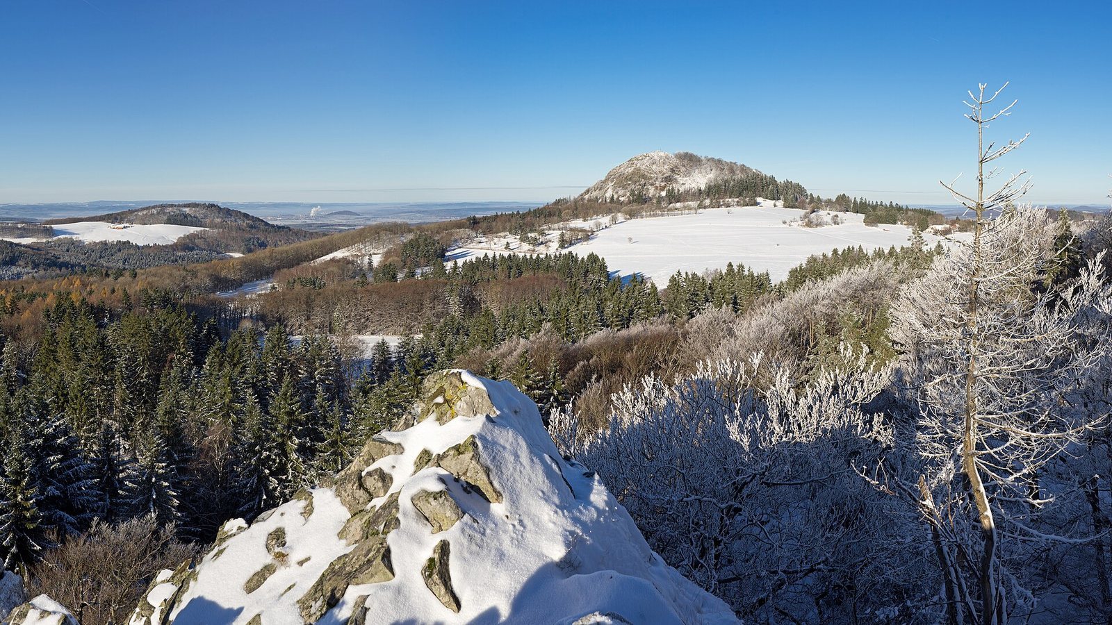
Milseburg rises to about 835 metres, around 130 metres above the surrounding landscape. It is the highest elevation in the Kuppenrhön and the second-highest in the Hessian part of the Rhön. The slopes are steep except to the northwest, where the approach to the summit is easiest. The mountain formed when alkaline magma entered older sandstone and cooled into phonolite, a type of volcanic rock. Erosion of the softer surrounding stone exposed the formation, which comprises phonolite and basalt. Weathering during the Pleistocene, an epoch marked by repeated glaciations, created extensive scree, or loose rock debris, on the slopes.
The Bieber rises immediately south of the mountain and flows around it to the west. Several springs on the oppidum’s plateau supplied water to its inhabitants.
Iron Age settlement
Outer rampart
A stone rampart extended about 1,300 metres around the mountain’s northern, eastern, and southern sides. It had three gates, positioned to the northeast, east, and south. The gate at Kälberhutstein was the only one that wagons could pass through. At the southeastern foot of the mountain, a section of the wall reached up to 12 metres in width. A reconstruction intended to follow the original as closely as possible stands there, accompanied by explanatory panels.
Inner enclosure and dwellings
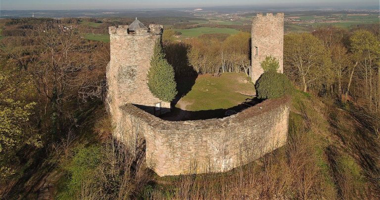
An inner wall enclosed a plateau about 450 metres long and 275 metres wide. Natural features helped defend the area: Kälberhutstein to the north, cliffs as high as 60 metres to the west, scree slopes to the south, and the rock formation Kleine Milseburg to the east. These features meant that artificial defenses were needed along only a few stretches.
Near Kleine Milseburg, excavations revealed about 30 circular living areas, each roughly 3.5–5 metres in diameter. Stones marked their boundaries, and additional walls offered protection. Pottery fragments from this settlement weighed several hundred pounds. Other finds from the hill include a bronze spearhead associated with the Urnfield culture, a Late Bronze Age archaeological culture, and a pottery fragment linked to the Corded Ware culture, a broad prehistoric archaeological culture.
Medieval castle
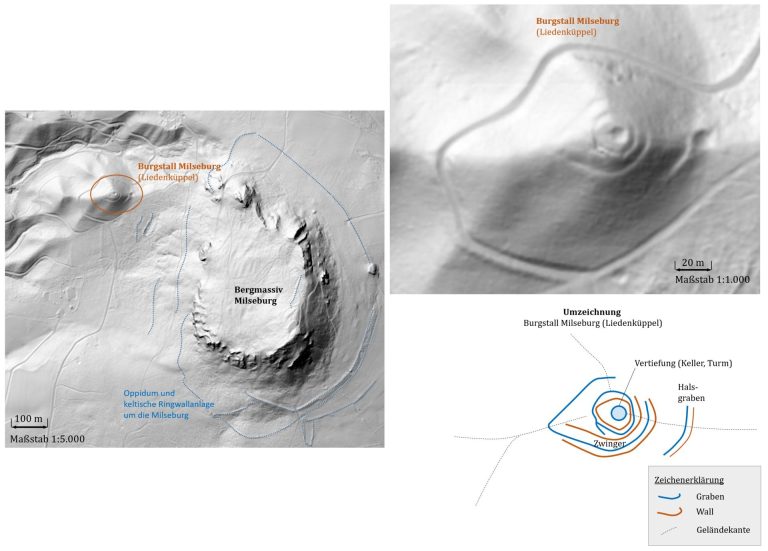
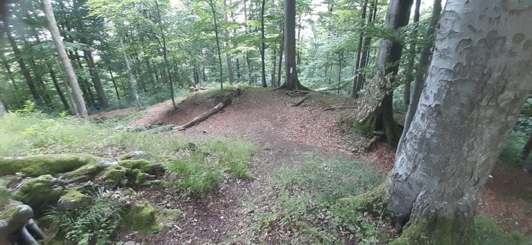
Sparse remains of Milseburg Castle lie on Liedenküppel, a spur on the mountain’s northwestern side. The castle’s ground plan measured about 21 by 24 metres.
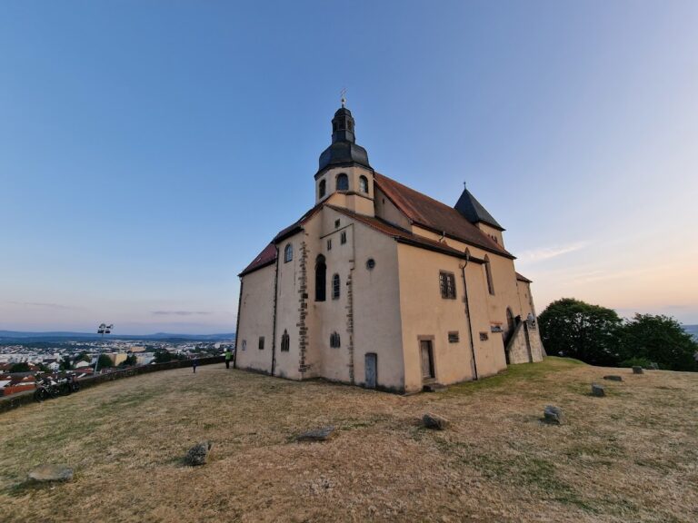
Gangolf Chapel
The chapel stands below a group of statues depicting the Crucifixion, dated to 1756. A stone pulpit beside the chapel was used for preaching outdoors.