Otsuboyama Kōgoishi: An Asuka-Period Mountain Fortification
Site at a Glance
- Popularity
- Very Low
- Country
- Japan
- Primary era
- Medieval
- Eras represented
- Medieval
- Civilizations
- Yamato
- Site type
- Military
- Remains
- Fort
On this page7 sections
History
Asuka-period fortification program
Otsuboyama Kōgoishi is a mountain fortification in the Tachibana neighborhood of Takeo, Saga Prefecture, Japan. Built by the Yamato court, Japan’s central ruling authority, during the Asuka period, an early era spanning roughly the late sixth to early eighth centuries, it formed part of a wider defensive effort.
That effort followed the defeat of combined Baekje and Yamato forces by an alliance of Silla, a Korean kingdom, and Tang, a Chinese dynasty, at the Battle of Hakusukinoe in 663. Fearing an invasion by Silla, Tang, or both, the court constructed fortifications across Japan during the later seventh century, often with assistance from Baekje engineers, generals, and artisans. Japan continued building these defenses through 701. Although the court initially did not know of the Silla-Tang War, fought from 670 to 676 between the former allies, construction continued even after it learned that their alliance had ended.
Name and archaeological history
The term kōgoishi, meaning “stones of divine protection,” was applied to these structures by the archaeologist Tsuboi Shōgorō during the Meiji period, Japan’s era of modernization from 1868 to 1912. Tsuboi proposed that they might have guarded sacred places, either spiritually or through physical defenses. Later interpretations have favored a practical military purpose and questioned a substantial spiritual connection, though the function remains partly uncertain and contemporary evidence is scant.
The ruins were discovered in 1962 and excavated in 1963. The excavation identified Otsuboyama as a Korean-style mountain castle, meaning a fortified mountain stronghold built in a style associated with Korean fortifications. It has been protected as a Japanese National Historic Site, a national designation for places of historical importance, since 1966.
Remains
Mountain defenses
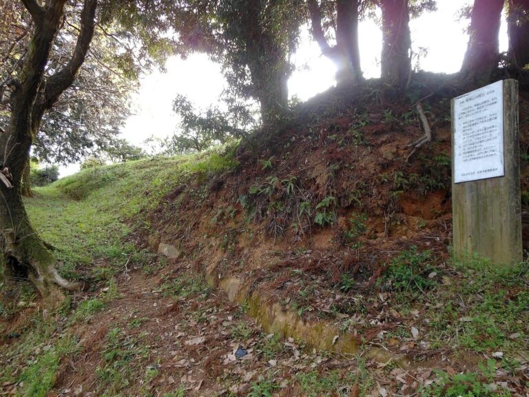
The surviving defenses follow the complex terrain of low hills extending from the mountain range west of the Saga Plain. Stone rows and an earthwork form the principal features of the site, with gates and evidence of timber structures also identified.
Stone rows and earthwork
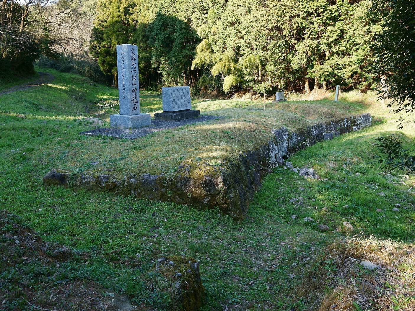
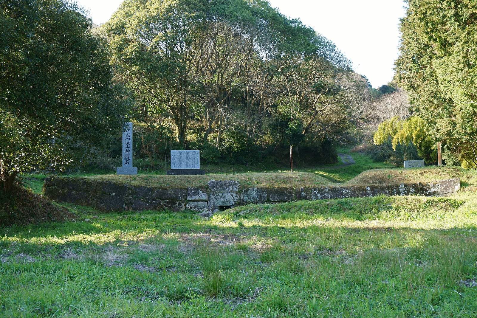
The stone rows extend for 1,866 meters along the mountain’s uneven contours. An earthwork, 9 meters wide, was built above them. The rows retain 1,313 stones, each about 70 centimeters high and 40 centimeters thick.
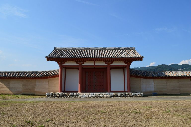
Gates and timber defenses
A water gate was situated in a valley, and remains of two gates have been identified, including the first water gate. In front of the stone rows, postholes spaced at 3-meter intervals tilt inward by about 10 degrees. They are thought to have held boards used in constructing the earthwork. Small cornerstones, set 1 meter apart between the postholes and stone rows in front of the first earthwork, are interpreted as marking the positions of posts joined to form a defensive fence.