Auriac Castle: A Medieval Fortress in the Corbières
Site at a Glance
- Popularity
- Low
- Country
- France
- Primary era
- Medieval
- Eras represented
- Medieval, Early Modern
- Civilizations
- French
- Site type
- Military
- Remains
- Castle
On this page8 sections
History
Auriac Castle is a ruined Romanesque fortress on a steep rocky spur in the Corbières of France, known from 1028 although its construction date is uncertain. Mining began in the wider Hautes-Corbières during Roman times, and the area’s mineral economy, together with Auriac’s frontier position, gave the castle strategic and economic importance.
Early lordship and the frontier route
In 865, Charles II the Bald, a Carolingian king of West Francia, entrusted the territory to the counts of Carcassonne. The royal privileges linked to it appeared in the Roque inventory and were confirmed by a king in 922. The castle itself is first recorded in 1028.
In 1070, Rangarde, countess of Carcassonne, sold the castle to Raymond, count of Barcelona. A route guarded by the fortress connected the Verdouble and Orbieu valleys, through the historic territories of Peyrepertusès and Termenès. From Redoulade Pass, it crossed the Orme Mort forest and followed streams toward the upper Orbieu, passing near the hamlet of Lauradieu.
Church authority and 12th-century conflict
A papal bull, a formal document issued by a pope, confirmed in 1107 that Auriac’s parish was under the authority of the archbishop of Narbonne. In 1136, Lord Amiel paid homage, a formal pledge of loyalty, to the count of Carcassonne. The count, in turn, owed homage to the archbishop, whose political authority extended beyond church affairs.
During the 12th century, the Trencavel viscounts of Carcassonne shifted their alliances between the stronger lords of Toulouse and Barcelona. Wars between those powers, alongside local disputes and changes in agreements, repeatedly altered control of Auriac.
The Albigensian Crusade and royal authority
During the Albigensian Crusade, a 13th-century campaign against the Cathar movement in southern France, the Auriac family defended its lands around 1210 with support from the archbishop of Narbonne, who backed the crusade. Around 1211, a northern baron, possibly from the De Lévis family, held the castle. Simon de Montfort, a French nobleman and military leader in the campaign, installed vassals in nearby conquered lands. They took revenues from Auriac and Egues for an extended period, a dispute addressed in a papal bull of 1227.
In 1236, the Termenès was ceded to Louis IX, king of France. Under the archbishop of Narbonne’s superior authority, Bertrand d’Auriac agreed with Béranger and Pierre de Cucugnan, co-lords of Camps, on the boundaries between their lands. The lords pledged loyalty to the king and his heirs and promised support against his enemies and those of the Church. Bertrand and his brother Olivier held Auriac’s lands jointly with the archbishop.
The Treaty of Corbeil, signed on 11 May 1258 by Louis IX and James I of Aragon, moved the frontier south and reduced the strategic value of Auriac and nearby castles. In 1263, Bertrand’s properties were divided. His wife, Béranguière, became the purchaser and recovered 5,000 sous millioriens, a medieval monetary unit, equal to her dowry.
Later lordship and decline
A branch of the Hélie de Pompadour family ruled Auriac for two centuries. In the 15th century, Hélie was married to Raymonde, daughter of Pierre d’Auriac. Their son Geoffroy married Catherine de Montesquieu, and the family also held the lordship of Soulatgé.
A local property register, or compoix, listed the castle in 1747. It was already shown as ruined on the Cassini map, before the French Revolution. Monsieur Laffont of Donos, who owned the castle in 1849, sold it in 1859 to Monsieur Casimir Ducros of Castres. The castle was listed as a French historic monument in 1948 and is owned by the commune and the state.
Remains
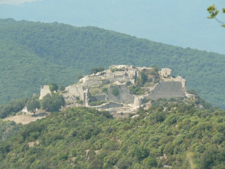
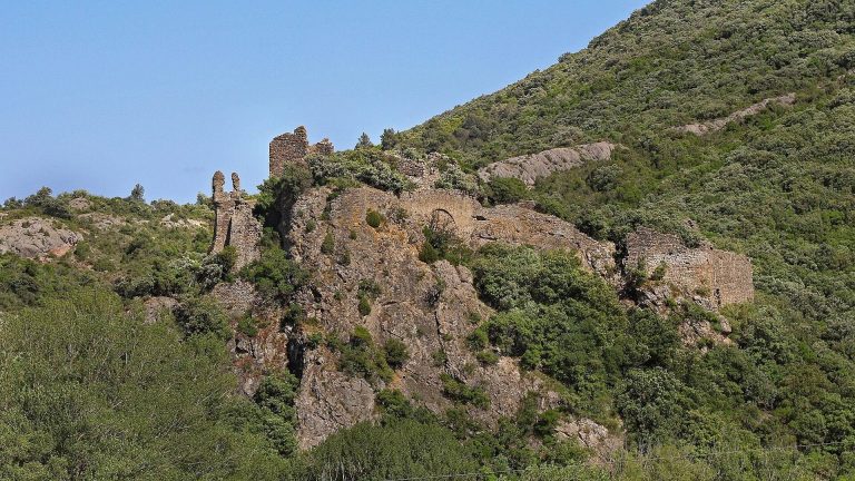
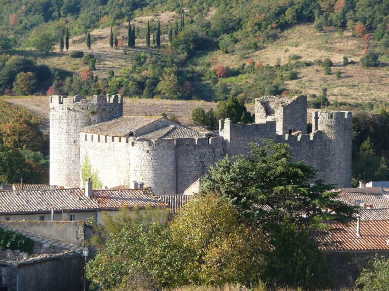
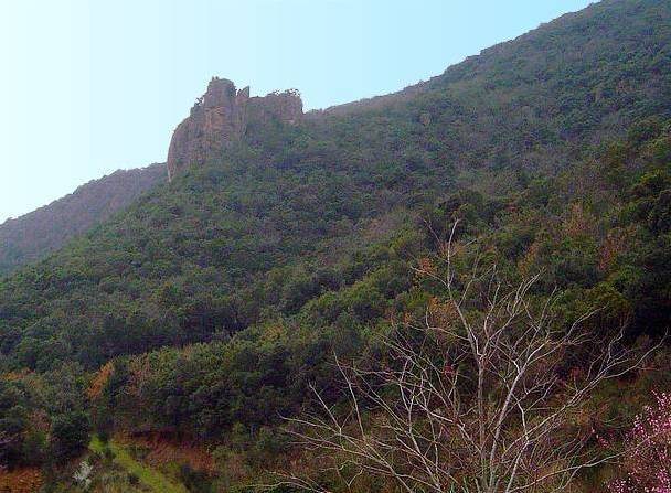
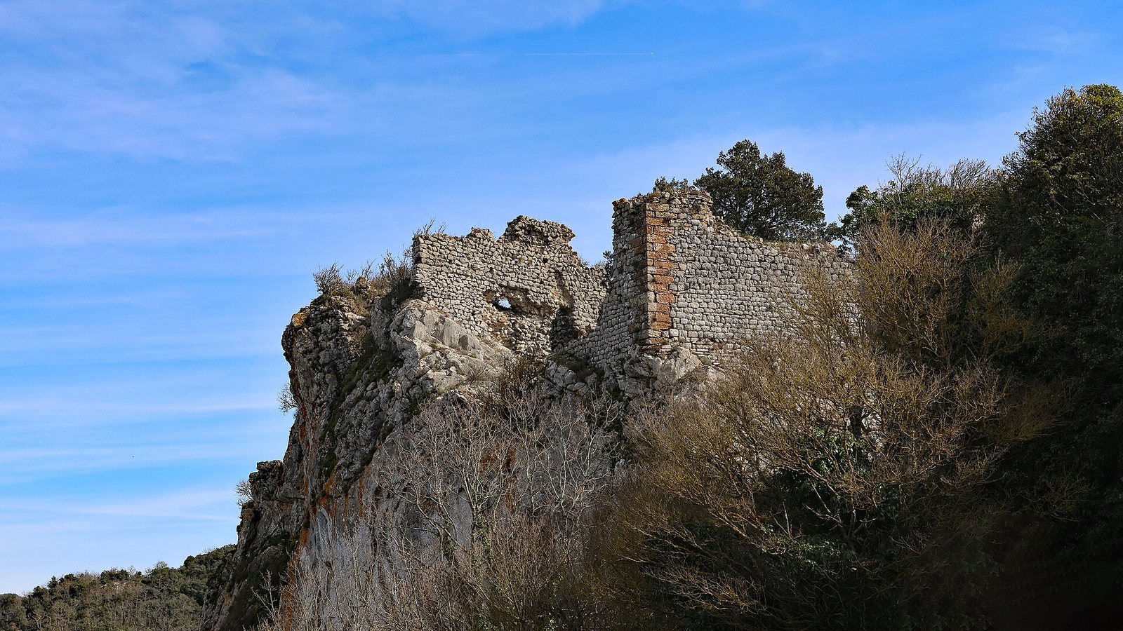
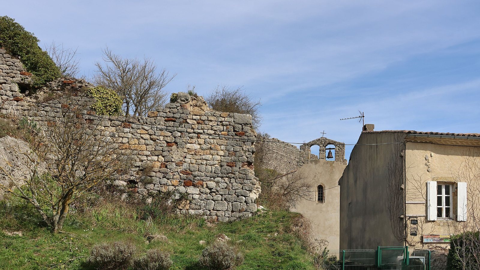
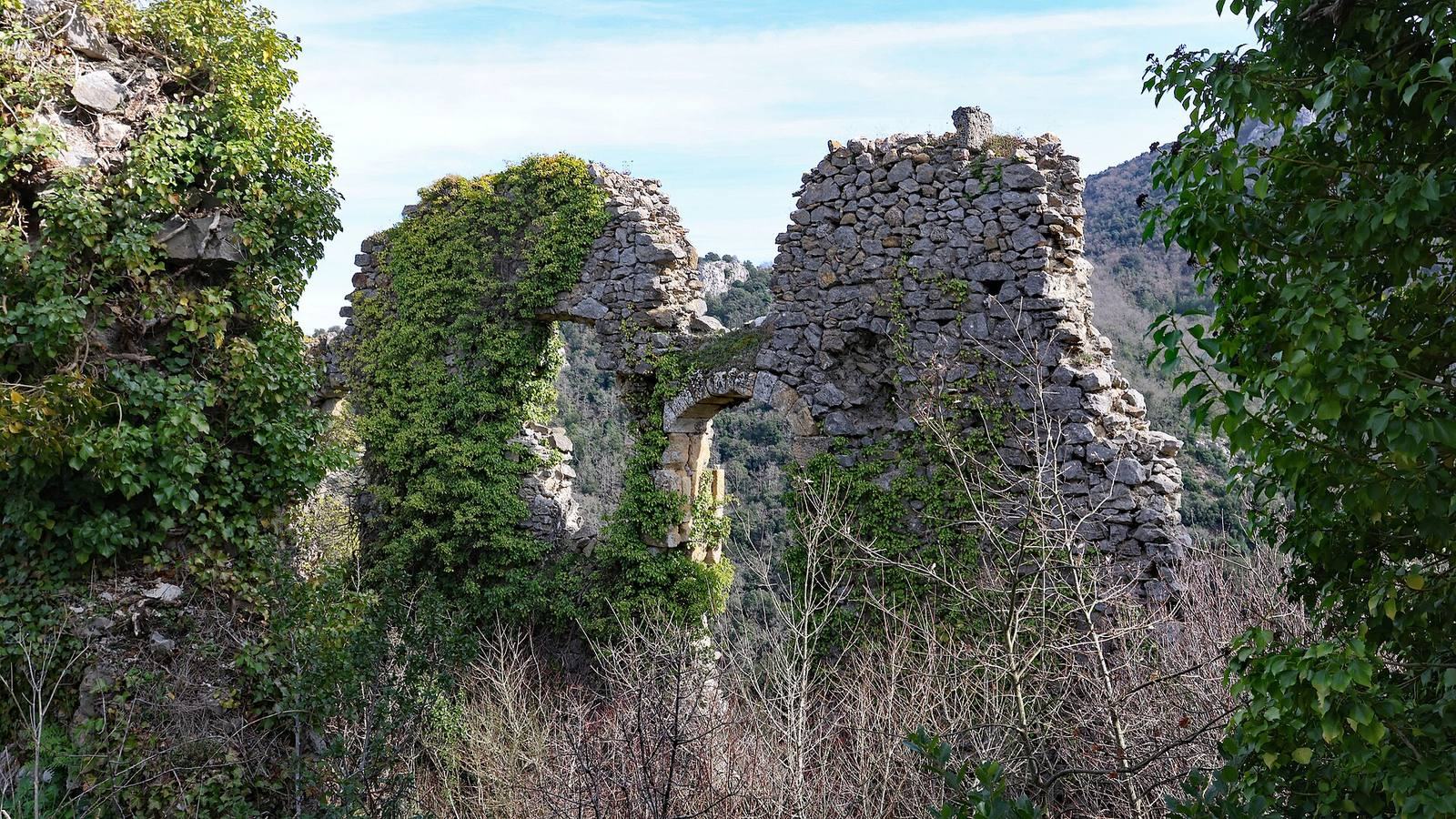
The ruined complex is arranged around two defensive enclosures, one with an octagonal plan, and a large residential building between them. A small square keep, the castle’s fortified main tower, stood to the north. The surviving remains rise from the castle’s position on a rocky crest above the Orbieu gorge and surrounding valleys.
Enclosures and northern tower
Part of the northern keep remains within the two-enclosure layout. The castle’s strong walls stand above an eastern precipice, where the highest waterfall in the Corbières falls in three drops into the Orbieu.
Residential buildings and alterations
A large residence occupied the space between the enclosures. The castle was altered at the beginning of the 15th century. In the 16th century, its inner buildings were improved for comfort: large windows and stair turrets, small towers containing stairways, were added, and some arrow slits, narrow openings in defensive walls, were adapted for firearms. Further changes to the residential buildings followed in the late 17th century.