Pogragja Fortress: A Sixth-Century Fortification in Kosovo
Site at a Glance
- Popularity
- Low
- Country
- Kosovo
- Primary era
- Medieval
- Eras represented
- Medieval
- Civilizations
- Byzantine
- Site type
- Military
- Remains
- Fort
On this page6 sections
History
Pogragja Fortress is a sixth-century fortification near Pogragjë, about 10 kilometres southeast of Gjilan in Kosovo. Its date and character connect it with the building programme of Justinian I, the Byzantine emperor who ruled from AD 527 to 565. The fortress formed part of a network established in Dardania, an ancient region in the central Balkans, near the end of Late Antiquity, the transition between the later Roman world and the early Middle Ages.
Written records and coins found during conservation and exploration work support the fortress’s association with Justinian’s era. Kosovo lists it as Cultural Heritage and recognizes it as a monument of historical, scientific and cultural importance.
Remains
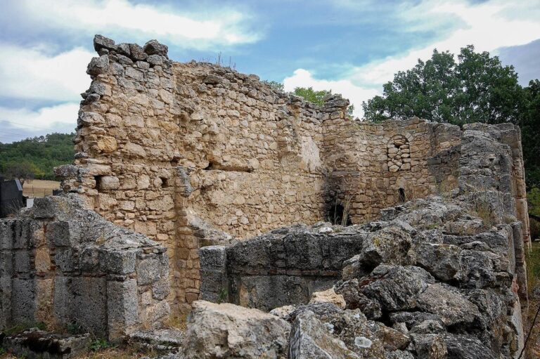
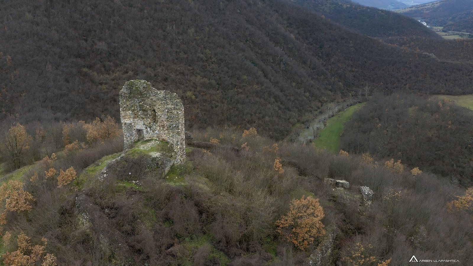
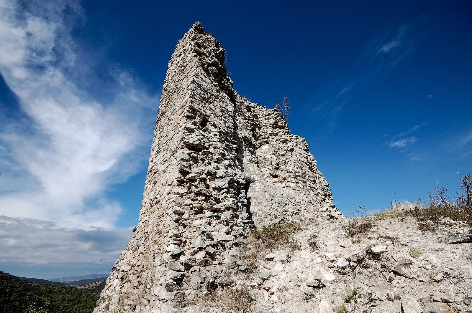
The fortress covers 1.2 hectares on a hill in the Karadak Mountains, about 567 metres above sea level and roughly 50 metres above the river valley. At Llapushnica Gorge, the hill overlooks the meeting of a stream and the Morava e Binçës. The layout includes a walled Lower Town and a more substantially preserved Upper Town on the summit. Its walls combine cut and uncut stone with lime mortar, and brick was also used.
Upper Town
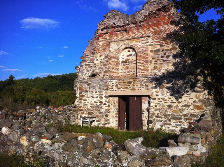
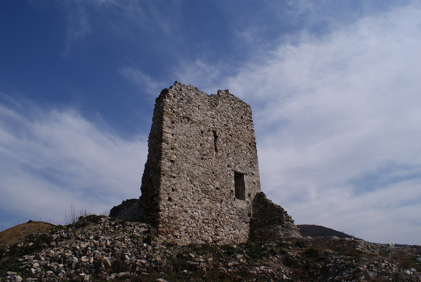
The Upper Town follows an irregular pentagonal plan shaped by the hill. Larger towers reinforced its southwest, northwest and northeast corners, while smaller towers on the west, north and southeast survive in places to about 4 metres. At the highest point stands a roughly square principal fortified tower, about 8 metres on each side. Its west wall rises to about 10 metres and contains an entrance. Parts of the south and east walls remain, including arrow slits, narrow openings through which defenders could shoot. The Upper Town entrance was probably northwest of this tower, on the easiest side to approach; traces of an access ramp and remains of other buildings survive within the fortress.
Defensive Walls and Lower Town
Three defensive walls have been identified, with sections both above and below ground. One is 17 metres long and 4 metres high, while another extends for 27 metres. Some fortress walls stand to about 4 metres. The southern wall of the central tower also formed part of the citadel’s defenses. Together with the walled Lower Town and the more intact Upper Town, these remains show how the fortified site was organized across the hill.
Underground Channel
Conservation and exploration work in 2007 revealed an underground channel that connects the fortress interior with the Morava River.
Finds and Local Tradition
The oldest coin found at the fortress dates to AD 246–249 and bears a portrait of Otacilia Severa, wife of the Roman emperor Philip. The site also contains the so-called Milk Stone, which local tradition regards as a healing stone.