Shaori Fortress: A Cyclopean Mountain Stronghold in Georgia
Site at a Glance
- Country
- Georgia
- Primary era
- Bronze Age
- Eras represented
- Bronze Age
- Civilizations
- Unclassified
- Site type
- Military
- Remains
- Fort
On this page11 sections
History
Possible Bronze Age origins
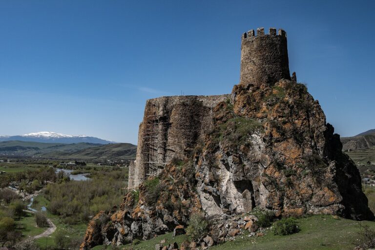
Shaori Fortress is a ruined stronghold in Georgia, above the important settlement of Shaori. Its builders and cultural affiliation are uncertain, but similarities with the Trialeti burial mounds, prehistoric funerary monuments associated with an archaeological culture in Georgia, suggest it may date to the first half of the second millennium BC. Its large-block construction belongs to the cyclopean tradition, which uses very large stones. This possible date places it in the Bronze Age, a prehistoric period when bronze was widely used for tools and weapons.
The fortress likely protected the settlement below, but it was probably not itself a permanent residential center. Its remote setting may have offered temporary refuge to tribal leaders, their attendants, and some of the population during danger. Religious rituals may also have taken place there, although the site’s social role remains uncertain.
Across the South Caucasus, the spread of cyclopean fortresses during the Middle and Late Bronze Age has been interpreted as evidence of growing social divisions and the rise of powerful elites. Such strongholds may have helped their controllers oversee farmland and other resources, while serving defensive and economic purposes for surrounding communities.
A possible medieval connection
A parchment manuscript dated 1002 and commissioned by Bagrat, king of the Abkhazians and curopalate, a high-ranking title used in the Byzantine world and the Caucasus, may have been produced at Shaori. The scribe is identified as a bishop of Tbeti, a medieval Georgian bishopric. The manuscript is held in the collection of a monastery on Mount Athos, a major Orthodox monastic center in Greece, but its proposed connection to Shaori is uncertain.
Written references and later use
The earliest written mention of the fortress appears in an early 18th-century geographical work by Vakhushti of Kartli, a Georgian geographer and scholar. Shaori later became known as Korogli, a name derived from Koroğlu, a figure in Turkic folk tradition; Ivan Rostomashvili recorded this name. Toward the end of the 19th century, two stone crosses were seen in one of the fortress’s cells, evidence of later use by local people.
Study and recognition
In 1938, Leon Melikset-Bek made the first systematic effort to study Georgia’s monolithic monuments, including Shaori. The fortress is listed among Georgia’s immovable cultural monuments of national significance.
Remains
Setting and overall plan
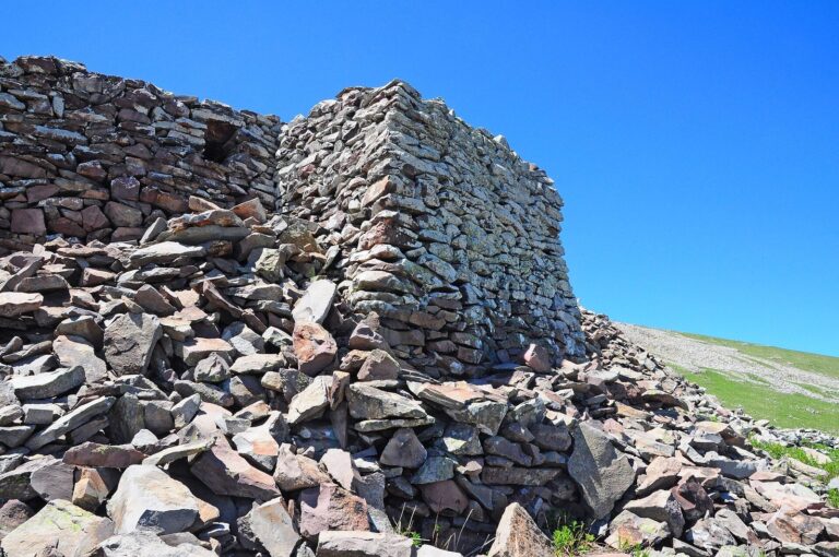
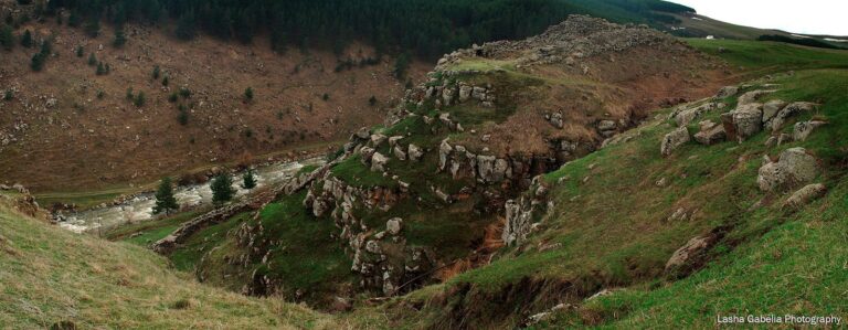
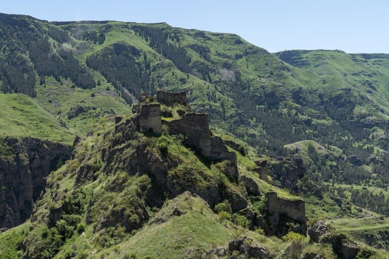
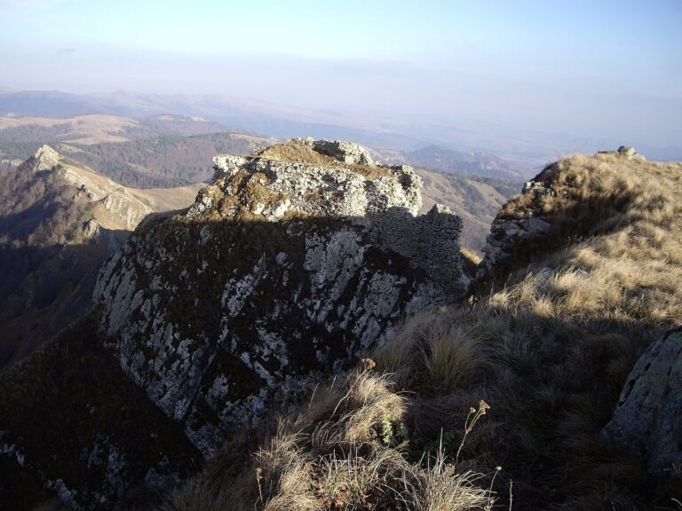
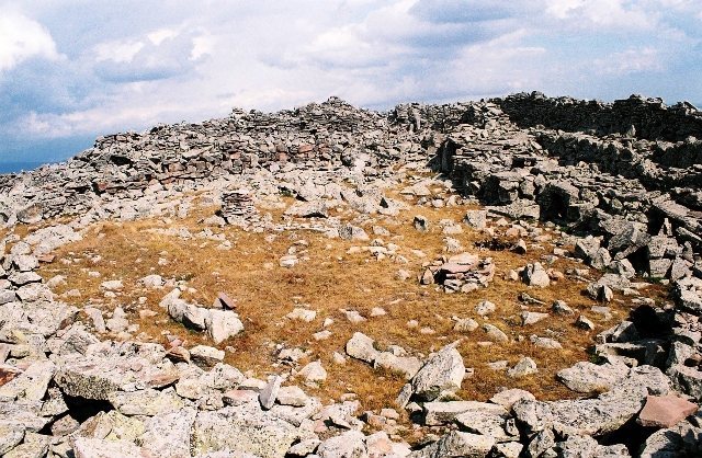
The ruined complex stands at an elevation of 2,752 metres on a rocky mountain near Paravani Lake, northwest of Tambovka village. A glacial moraine, a deposit of rock and sediment left by a glacier, covers the summit and slopes; locally available basalt provided building stone. The fortress is built from large blocks laid without mortar and extends across two separate, steep peaks. Its overall plan is described as rhomboidal, with circular interior spaces, while the central fortified area occupies the highest ground and has an irregular rectangular plan. The difficult terrain may have shaped the choice of this remote site. Shaori shares topographical and architectural similarities with Abuli fortress, another major cyclopean hillfort in the Paravani Lake area.
Enclosures and rooms
Lower enclosure
An entrance in the lower enclosure gives access to a section on a lower summit. Several rooms stand within its enclosing wall.
Upper enclosure
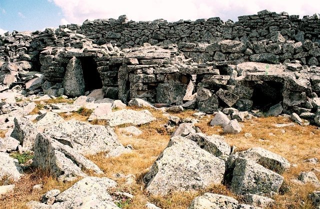
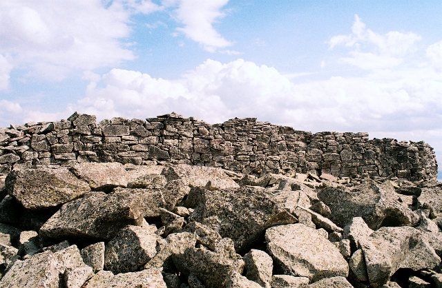
The central upper area is enclosed by a wall with a low entrance on the east, measuring about 1 metre wide and 1.3 metres high. Rooms built against the inner face of the wall rise one or two storeys. The dry-stone walls reach about 4 metres high in places and nearly 3 metres thick. Most rooms have their own entrances, while some connect through doorways.
Path, shelters, and outer wall
A path of flat stones, up to about 3 metres wide, climbs from the lower section over the boulders. Shelters or hiding places line the route, and a further group lies among boulders outside the enclosure. A western wall is also among the fortress’s features.